Gillard FSR Part 2
Total Kilometers
8.2
Technical Rating
Best Time
Spring, Summer, Fall, Winter
Trail Type
Full-Width Road
Accessible By
Trail Overview
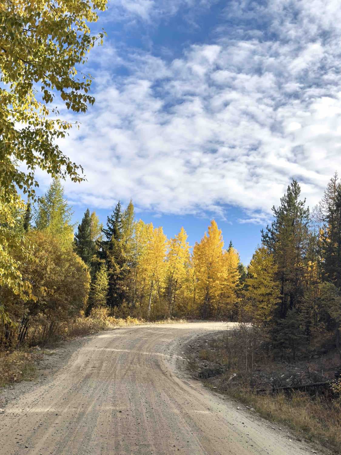
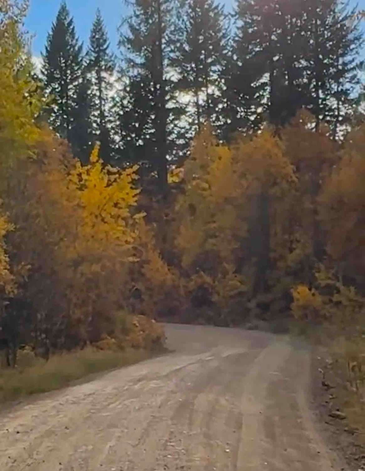
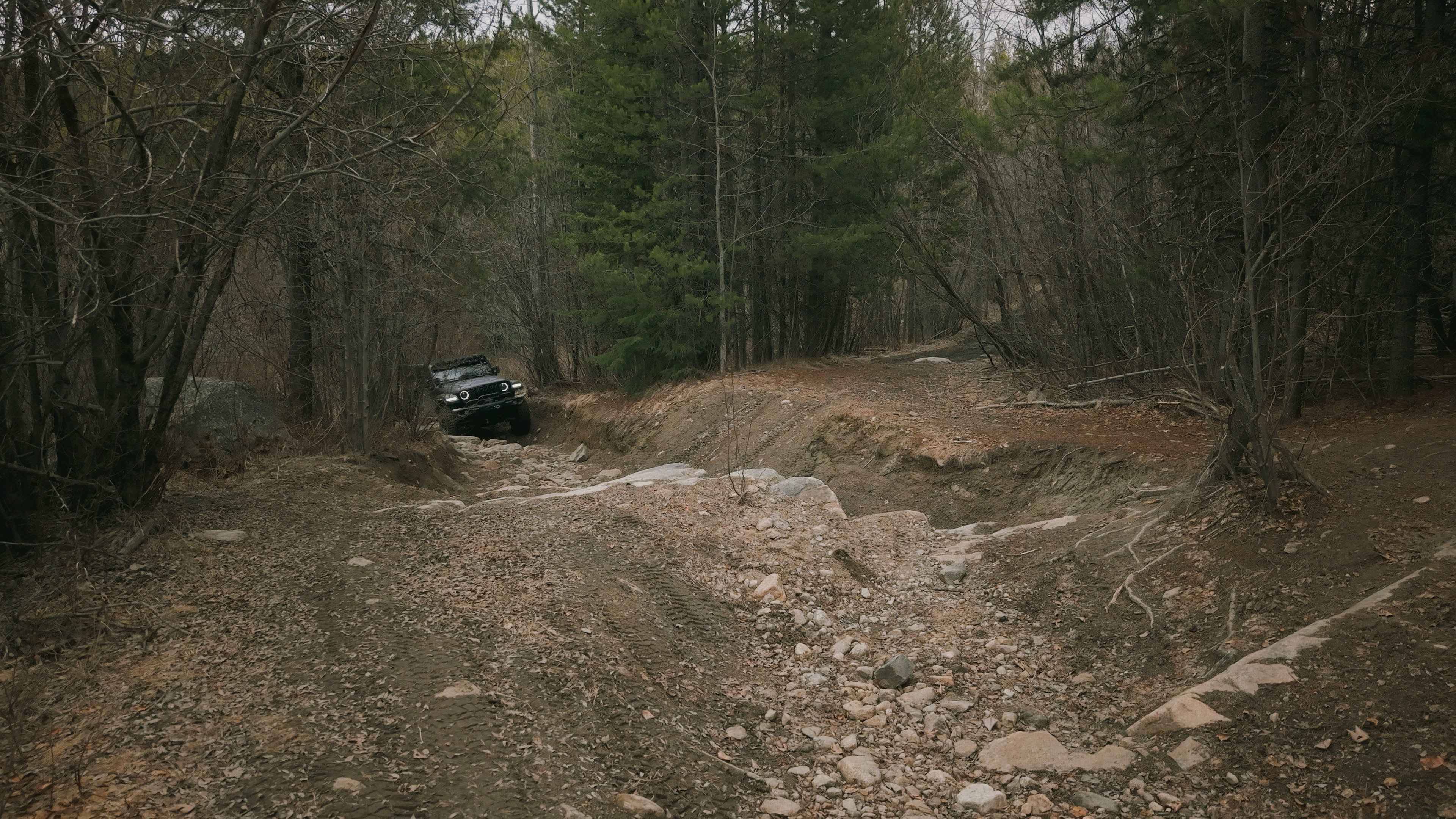
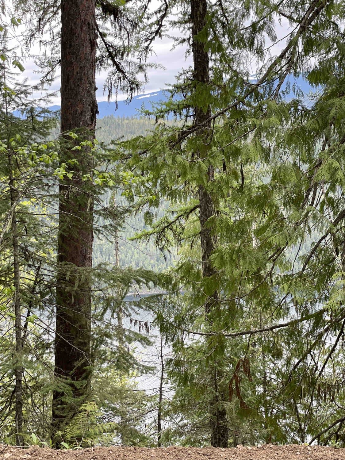
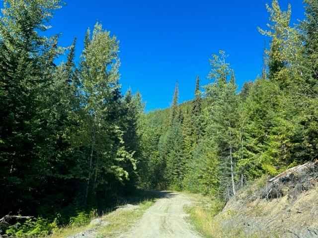
This scenic trail starts where the Gillard FSR (Part 1) ends at the turn-off for Chute Lake Road/KVR. The trail is gravel with plenty of washboard (worth airing down), small to medium-sized potholes, and some rutted areas. It's two car widths wide and has plenty of spots to pull over if needed. The gravel trail winds through dense forests (with remnants of the Kelowna Mountain Fire from 2003) with gentle elevation gains. You will find dispersed camping spots throughout the trail, but be warned of all the garbage others have left behind and the possibility of nail punctures if you get too close to the firepits. The marked trail ends due to a bad section of road with a lot of boulders (probably doable with 35s). Please be warned that although this trail is traveled in winter, it can change in level of difficulty greatly. Cell service is hit and miss throughout the trail.
Photos of Gillard FSR Part 2
Difficulty
This is a gravel road with potholes and some washboarded areas but no difficult obstacles. It is safe for 4WD and 2WD vehicles.
Gillard FSR Part 2 can be accessed by the following ride types:
- High-Clearance 4x4
- SUV
- SxS (60")
- ATV (50")
- Dirt Bike
Gillard FSR Part 2 Map
Popular Trails
Lebanon Lake Trail
Cottonwood Rec to Kingfisher FSR
South Barriere Lake Road
Whiskey Creek FSR
The onX Offroad Difference
onX Offroad combines trail photos, descriptions, difficulty ratings, width restrictions, seasonality, and more in a user-friendly interface. Available on all devices, with offline access and full compatibility with CarPlay and Android Auto. Discover what you’re missing today!