New Road Near Greystokes
Total Kilometers
4.8
Technical Rating
Best Time
Spring, Summer, Fall
Trail Type
Full-Width Road
Accessible By
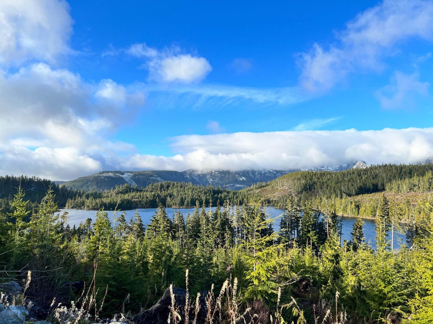
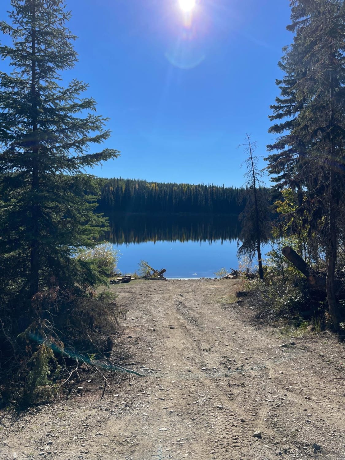
Trail Overview
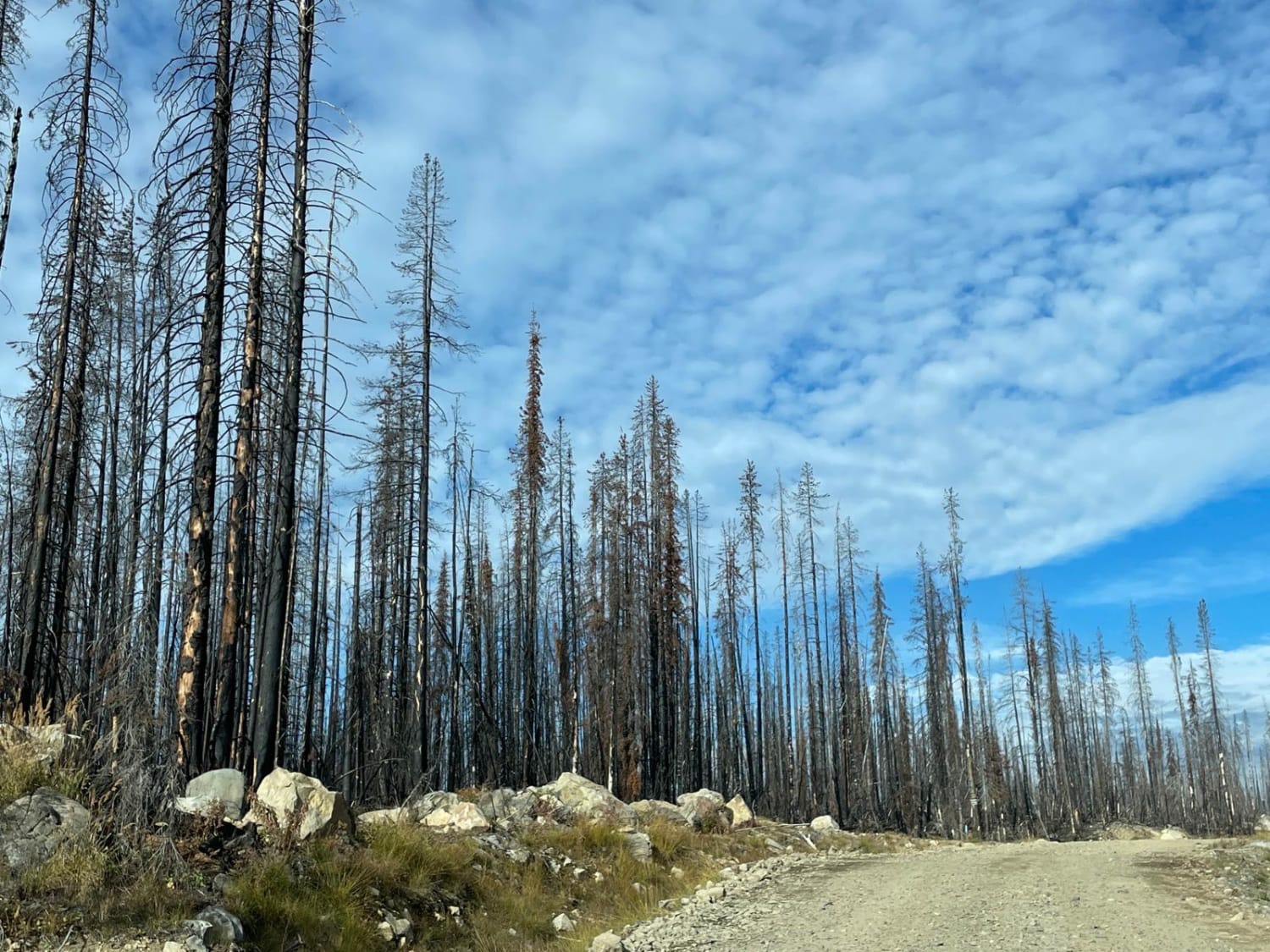
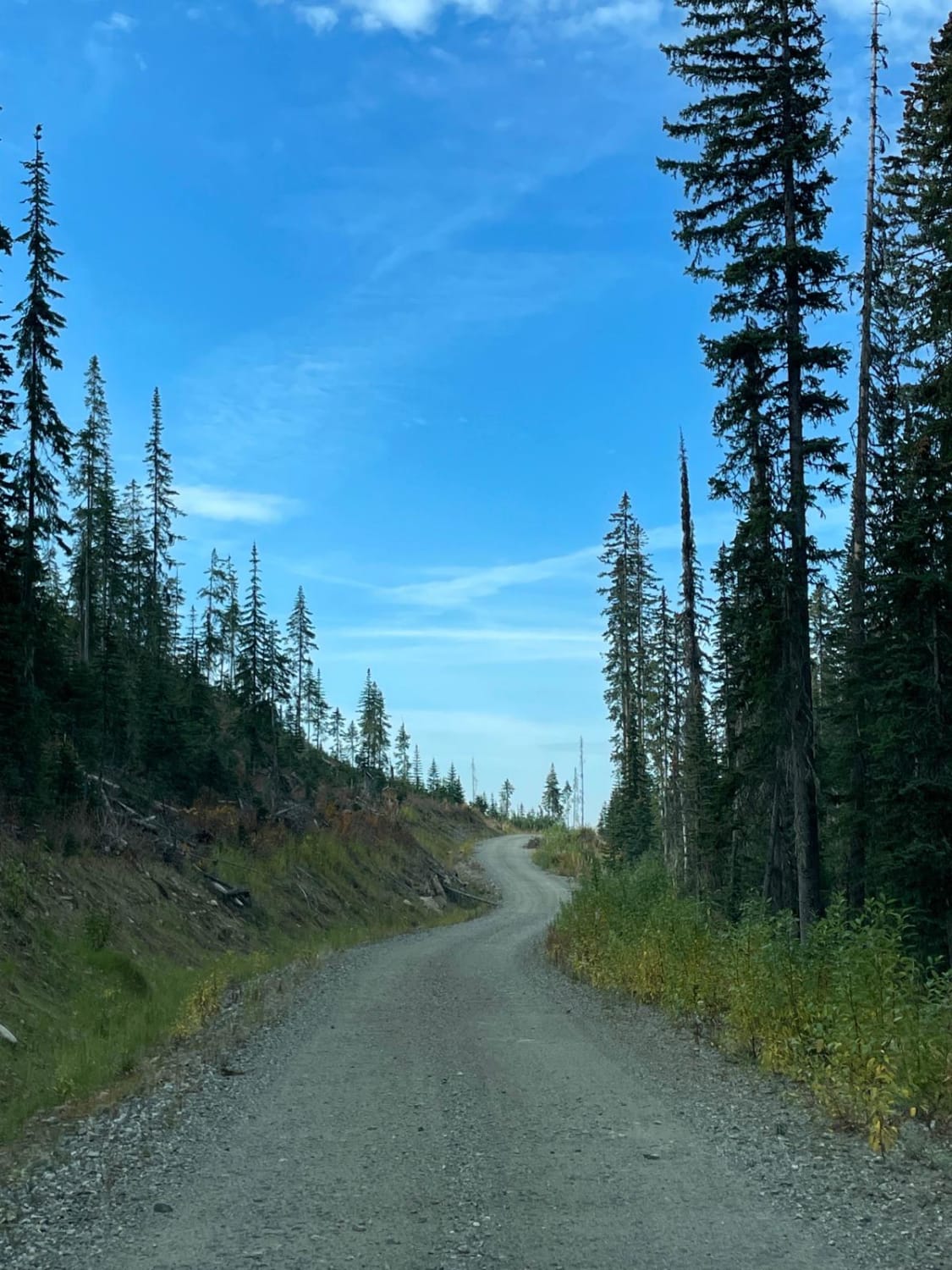
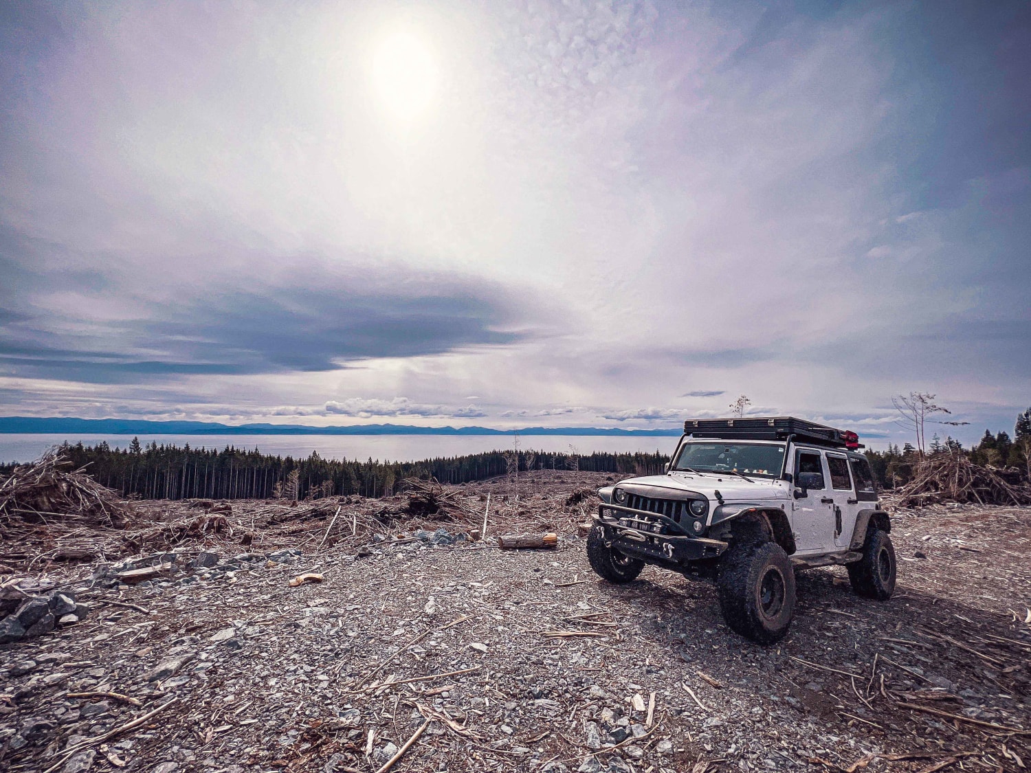
This area appears to have been recently logged and the road may have been built to help fight a recent forest fire. It's a very nice, well-maintained road that's a pleasure to drive. The road takes you back down about 300 meters in elevation when you come back to the intersection with the technical Greystokes FSR. There is no cell coverage in the area so be prepared. This would be a good area for hunting as there are clearings that are perfect for wildlife.
Photos of New Road Near Greystokes
Difficulty
This is a newer FSR that is gravel and well maintained.
Status Reports
New Road Near Greystokes can be accessed by the following ride types:
- High-Clearance 4x4
- SUV
- SxS (60")
- ATV (50")
- Dirt Bike
New Road Near Greystokes Map
Popular Trails
Even Flow North Connector
Rowbotham Lake
Beaver Lake Road to Haddo Lake Rec Site
The onX Offroad Difference
onX Offroad combines trail photos, descriptions, difficulty ratings, width restrictions, seasonality, and more in a user-friendly interface. Available on all devices, with offline access and full compatibility with CarPlay and Android Auto. Discover what you’re missing today!