Out Of Jaffray
Total Kilometers
6.5
Technical Rating
Best Time
Summer
Trail Type
Full-Width Road
Accessible By
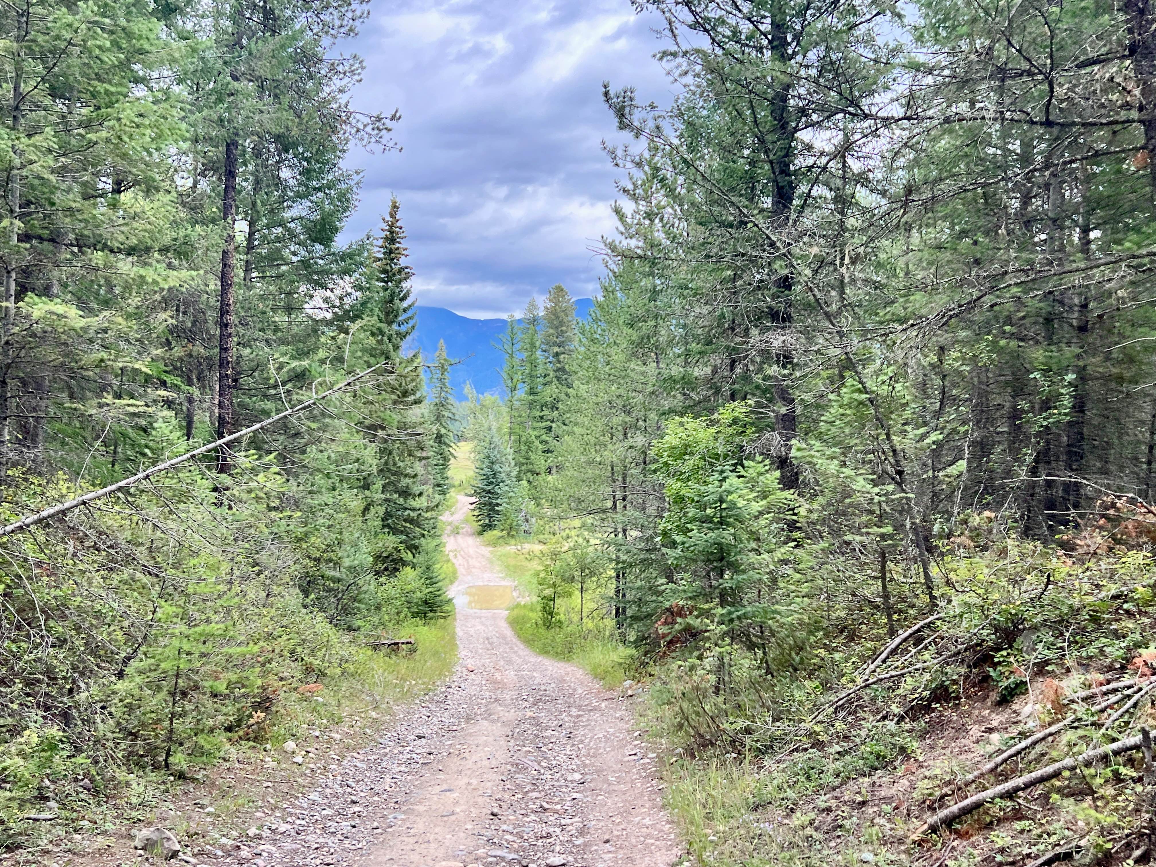
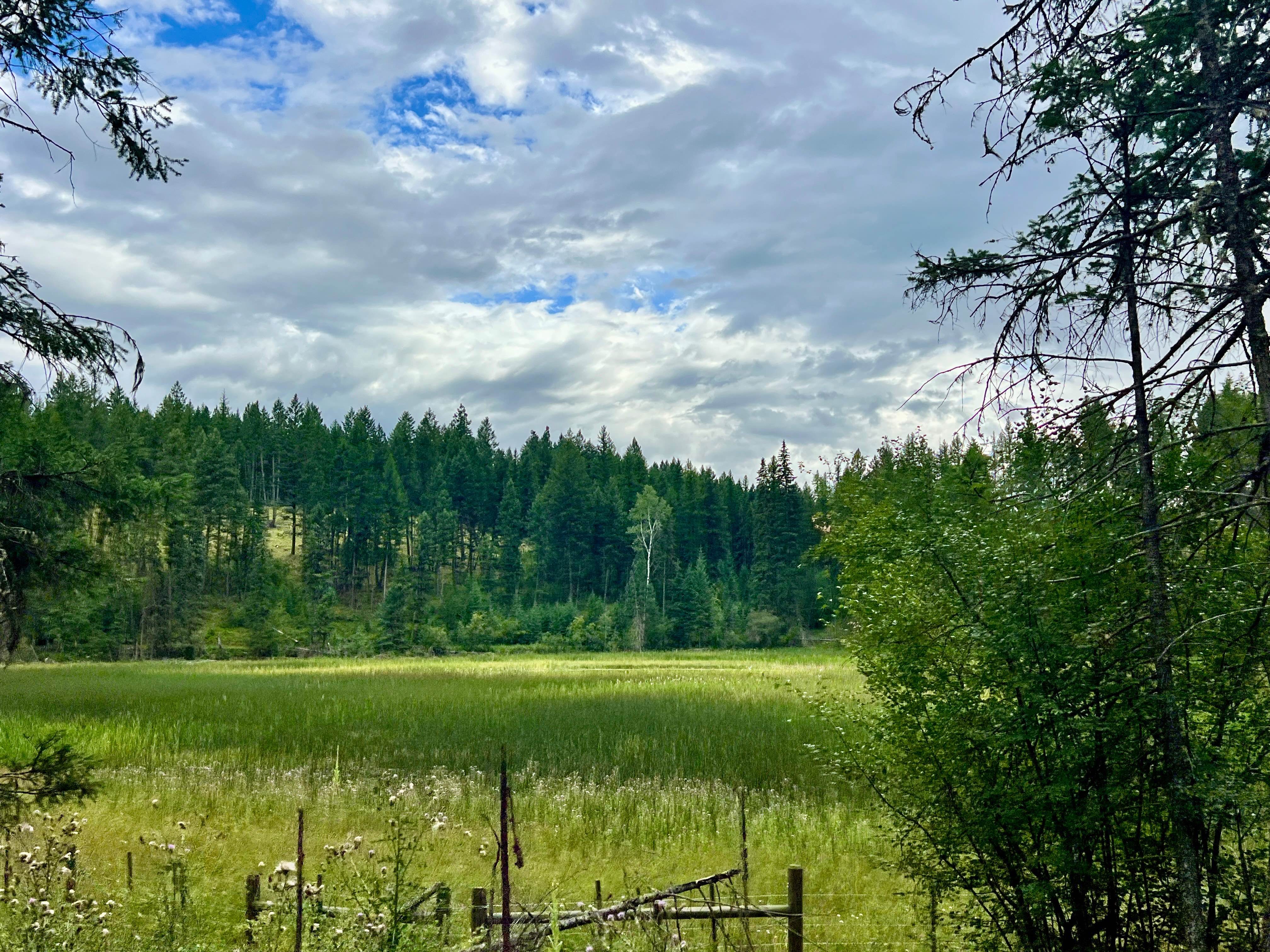
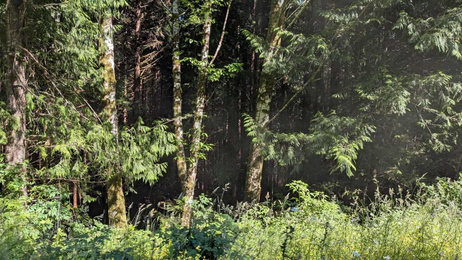
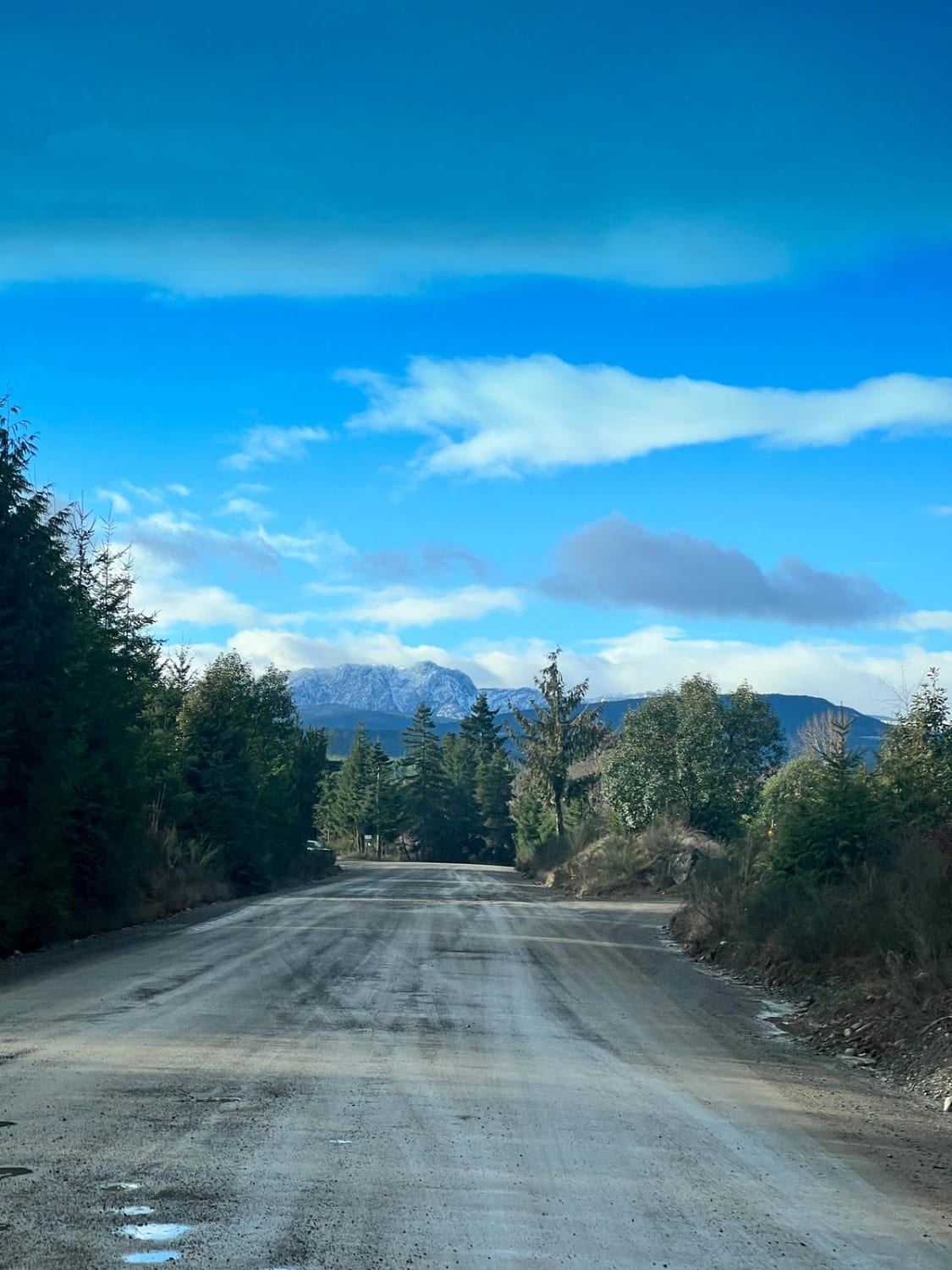
Trail Overview
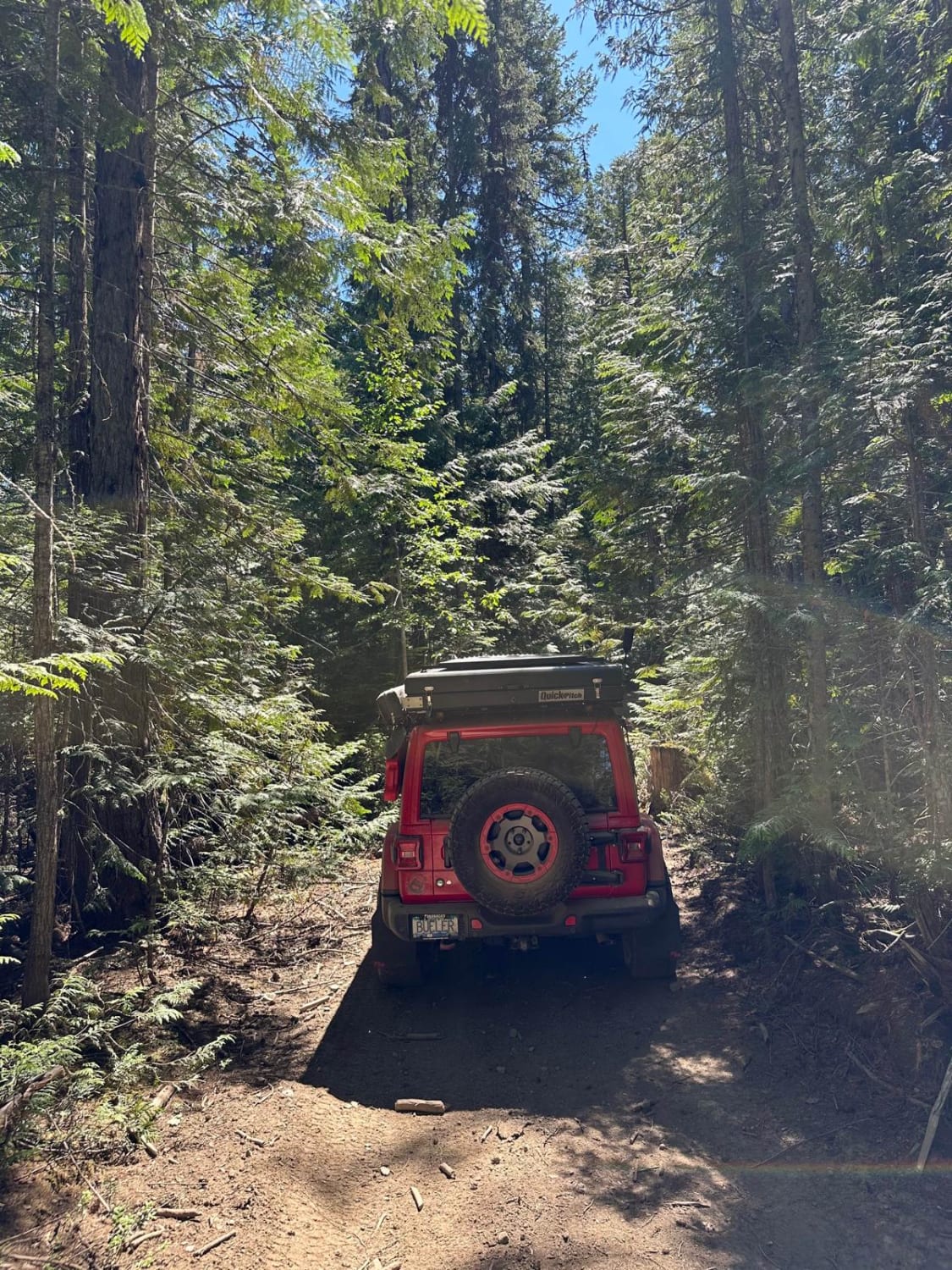
This route may not be the smoothest, but it's undoubtedly the most direct route from the town of Jaffray to the Covalli trails. This trail can be confusing to begin or end, as the trailhead from town is located right next to the train tracks. After that, it winds in and out of the trees and drops into the intricate trail system that leads out to the various undeveloped campsites. There is a lot to see in the heart of the trail system, with plenty of pullouts offering views of Lake Koocanusa. Expect lots of mud holes when wet, and the trail may be impassable in early spring when the ground is saturated or during the winter months. Cell service is intermittent. To ensure you have consistent map coverage, please download your offline maps before exploring the area. Crown Land Camping: Canadian Crown land is open to Canadian residents for free camping. Out-of-country visitors, particularly from the US, will need to obtain a camping permit from the nearest FrontCounter BC office in Cranbrook before camping on Crown land if camping outside of the paid campsite.
Photos of Out Of Jaffray
Difficulty
Expect a somewhat rough and winding route. Be prepared for mud holes, especially during wet seasons.
History
Jaffray is a small town located near Lake Koocanusa in British Columbia. It provides services and amenities for residents and visitors to the area.
Status Reports
Out Of Jaffray can be accessed by the following ride types:
- High-Clearance 4x4
- SUV
- SxS (60")
- ATV (50")
- Dirt Bike
Out Of Jaffray Map
Popular Trails
Gooding Cove
155 Main
Dixon Climb

Coopers Hang Gliding
The onX Offroad Difference
onX Offroad combines trail photos, descriptions, difficulty ratings, width restrictions, seasonality, and more in a user-friendly interface. Available on all devices, with offline access and full compatibility with CarPlay and Android Auto. Discover what you’re missing today!