Coopers Hang Gliding
Total Kilometers
6.2
Technical Rating
Best Time
Spring, Summer, Fall
Trail Type
High-Clearance 4x4 Trail
Accessible By
Trail Overview
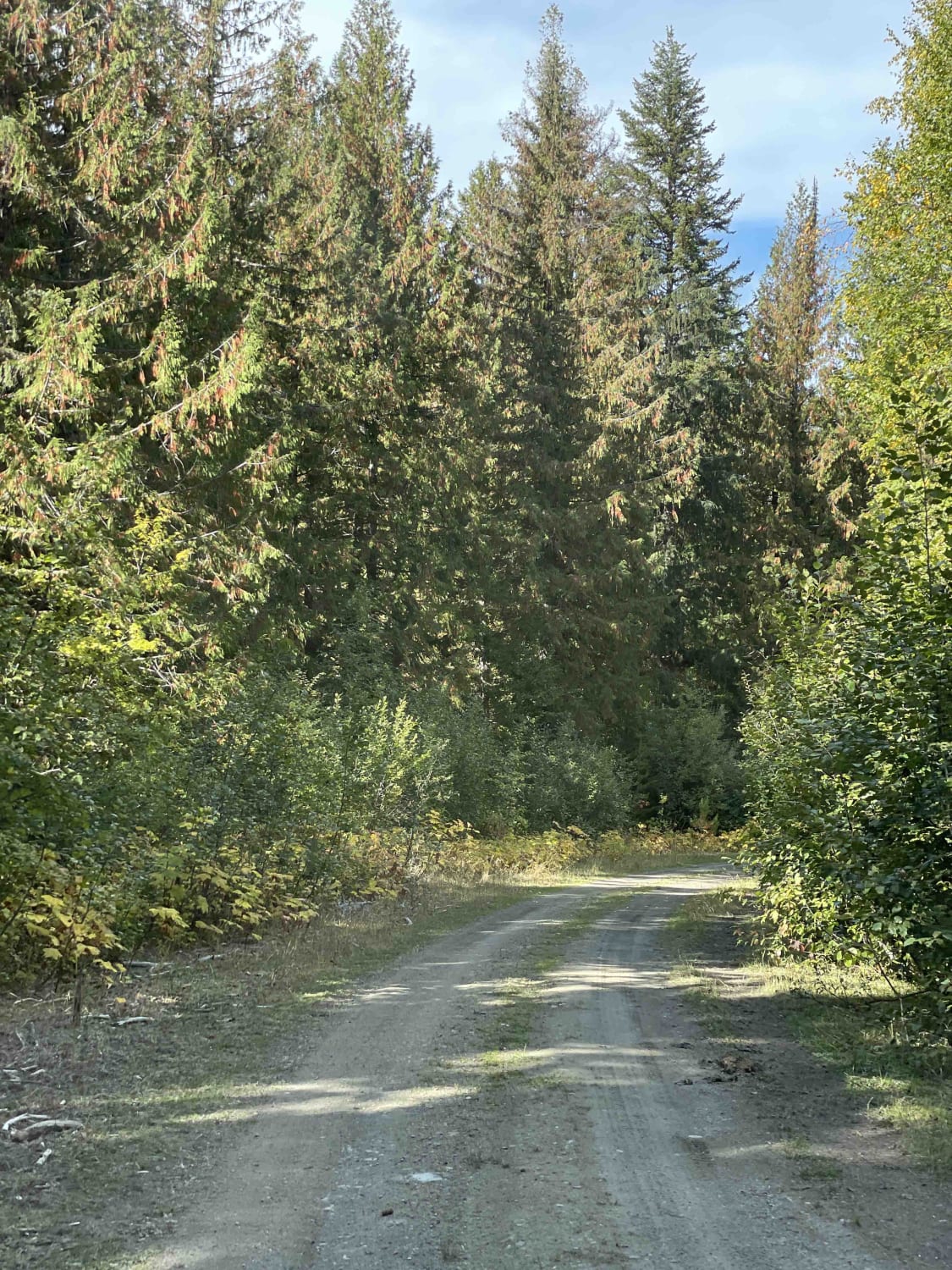
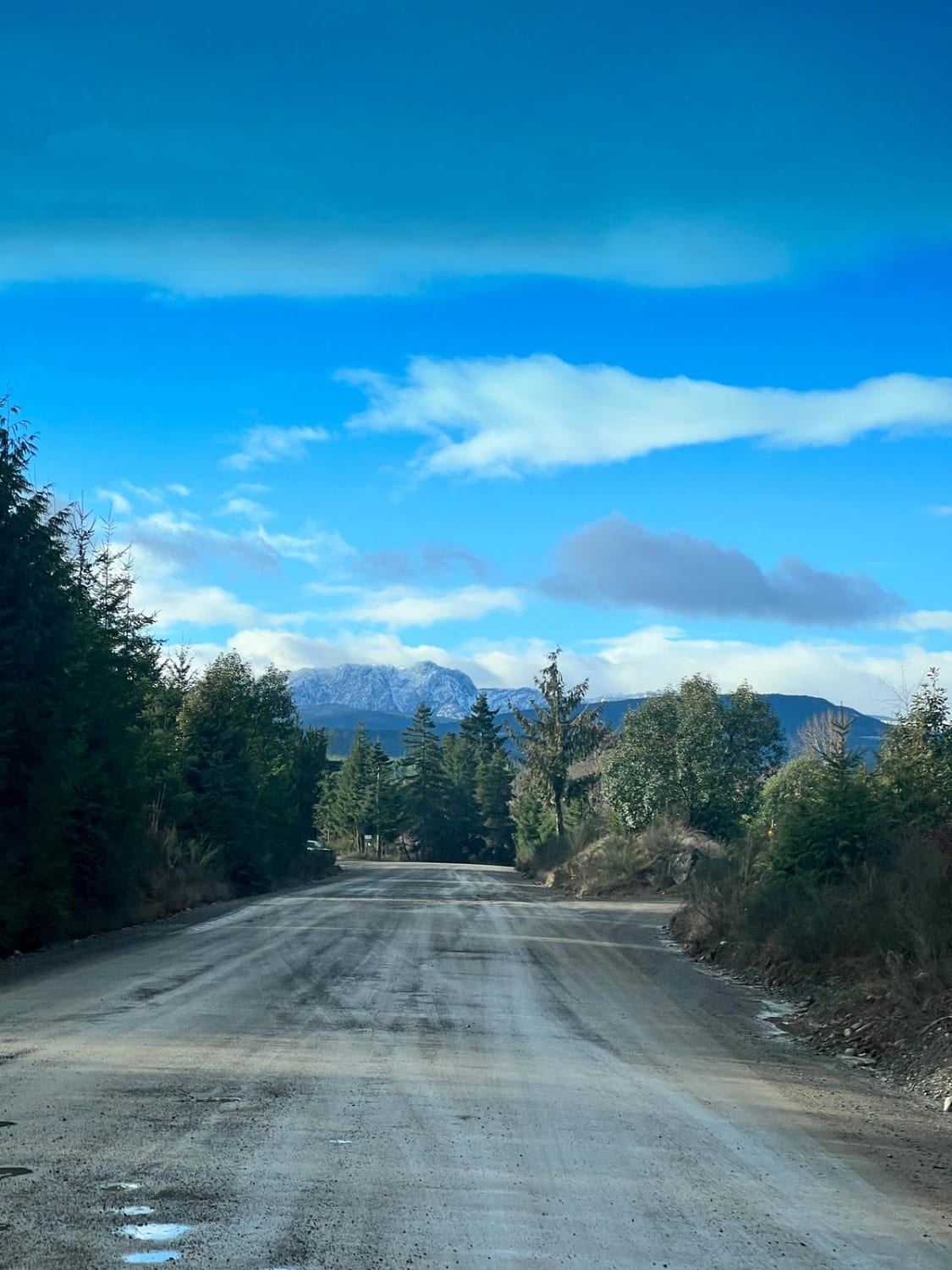
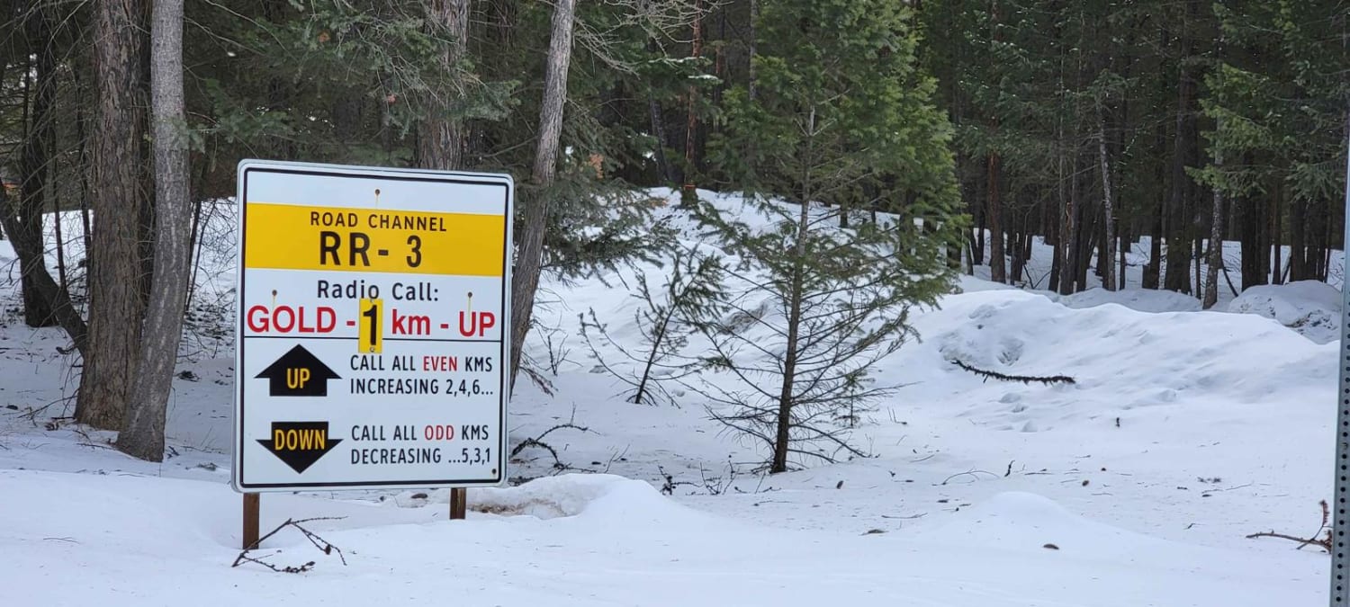
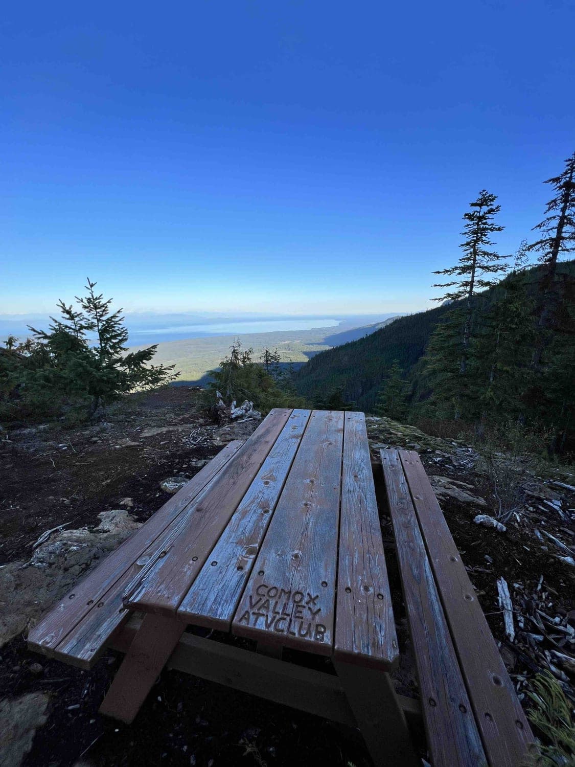
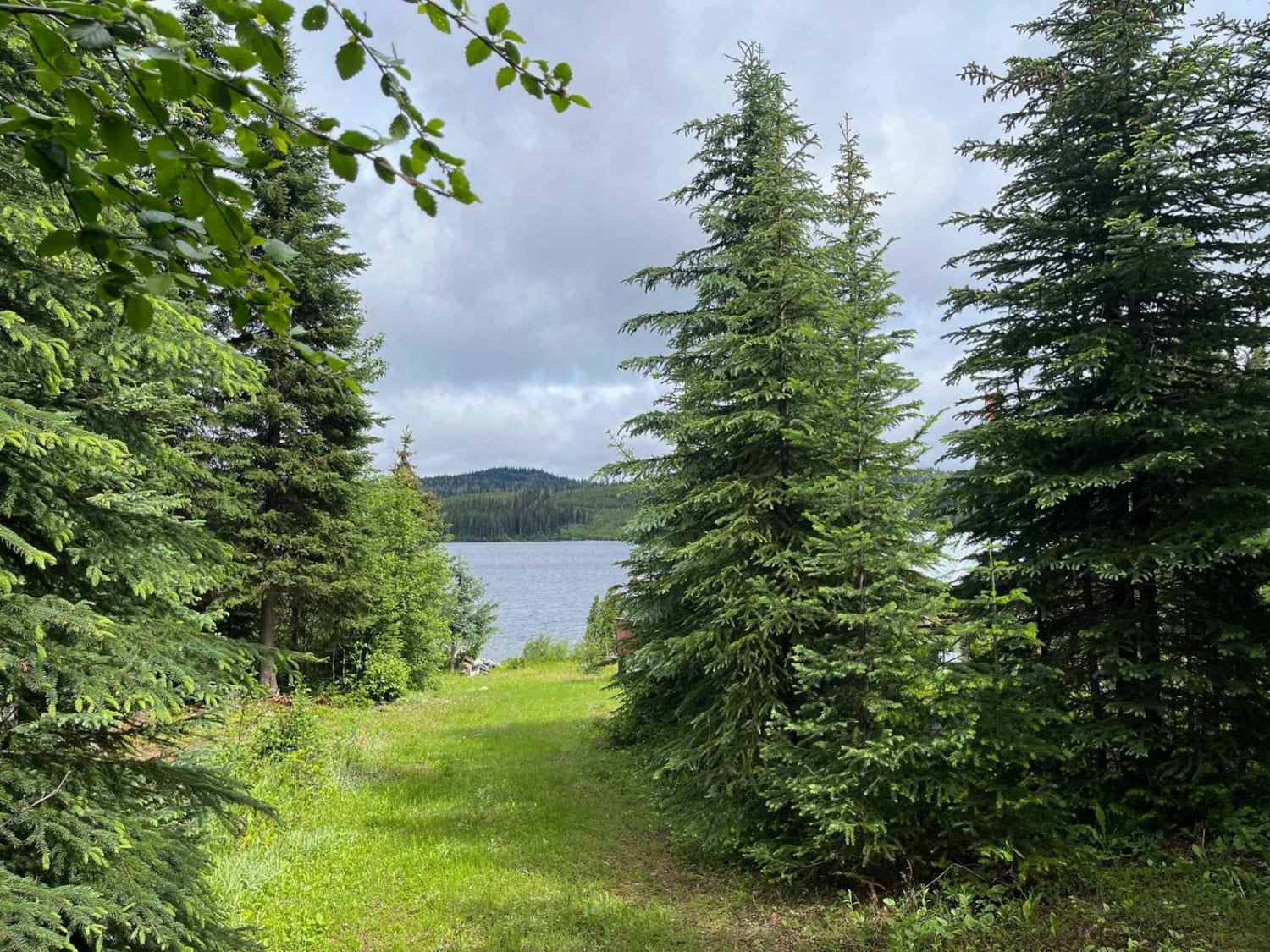
Essentially you are going between the service road up the power lines and Bardolph Lake FSR. There is no hang gliding - but we saw it on a map and wanted to check it out. The power line road has loose large rocks with water erosion requiring 4x4 and high clearance. When you get back onto the FSR you will come to a road closure up near Cold Stream Creek. See picture! We went down a side spur that was over grown with trees and followed it to the very end. At the end there is a grassy clearing that would be good for camping - but there is no view at all.
Photos of Coopers Hang Gliding

Difficulty
Mostly just the loose rocks and gravel along the power lines with water erosion and then the overgrown part of the road - if you don't want any BC Pinstripes - don't go down the road after the closure.
Status Reports
Coopers Hang Gliding can be accessed by the following ride types:
- High-Clearance 4x4
- SxS (60")
- ATV (50")
- Dirt Bike
Coopers Hang Gliding Map
Popular Trails
155 Main
Cranbrook To Koocanusa
Switchback Hill
Jamieson Creek Road to Allan Lake
The onX Offroad Difference
onX Offroad combines trail photos, descriptions, difficulty ratings, width restrictions, seasonality, and more in a user-friendly interface. Available on all devices, with offline access and full compatibility with CarPlay and Android Auto. Discover what you’re missing today!