Switchback Hill
Total Kilometers
4.5
Technical Rating
Best Time
Summer, Fall, Spring
Trail Type
High-Clearance 4x4 Trail
Accessible By
Trail Overview
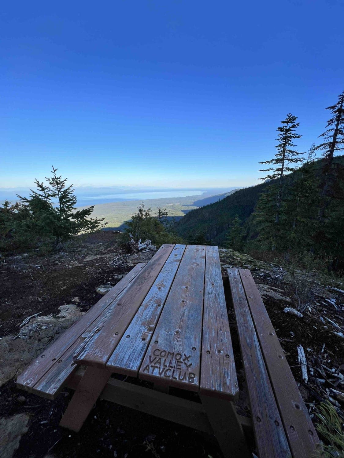
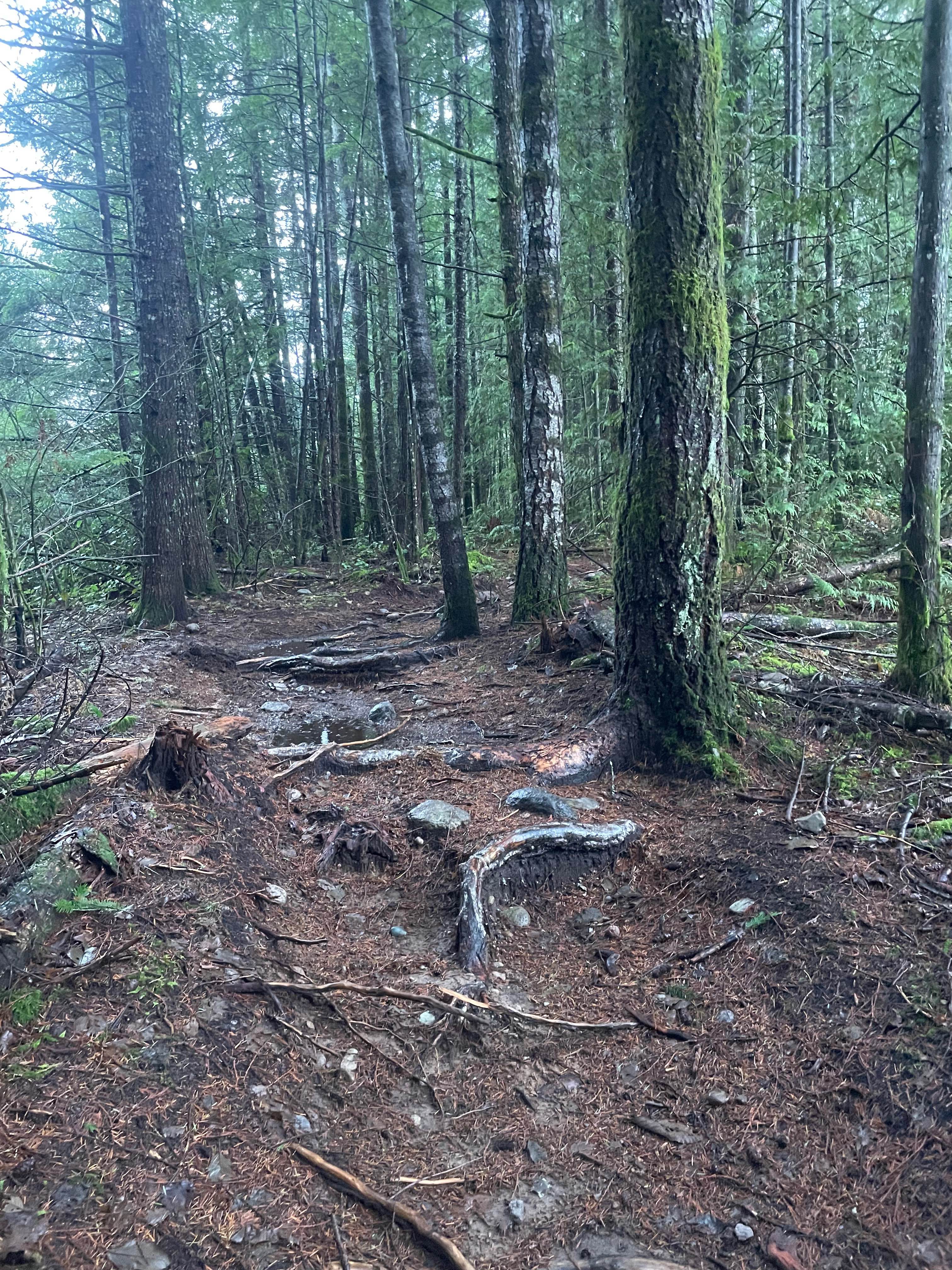
On this trail, you can expect to get many scratches as well as the possibility for small dents from all the trees and shrubbery that grow on the sides and over top of the trail. This is a shorter distance trail that takes longer than expected due to the fact you climb over 2,000 feet up the mountain in less than 5 kilometers. That means two things: first, your vehicle's cooling system will be tested, and second, there will be an incredible view once you reach the top! There are three main obstacles on this trail, the first being the gatekeeper at the very start of the trail. If you struggle here, do not continue on. The second is a deeper cross-ditch that requires a vehicle with good approach and departure angles. The third and final obstacle is a narrow pass where the road has collapsed off on one side and the other side is a rock face. Anything that is wider than 75 inches may not make it through. On your way up the mountain, take mental notes where you can turn around because if you don't get to the top, your only option is to back down the trail. Once you reach the top, there is a picnic table to enjoy the beautiful view from Mount Washington to Mount Benson and everything in between. This trail was built by the Comox Valley ATV Club. There is also a quad that rolled off the cliff that you are able to spot if you have a good eye!
Photos of Switchback Hill

Difficulty
This is a very narrow path with nearly zero spots to pass. Trees and shrubs have grown over the trail the whole way. It's steep from start to end.
Status Reports
Switchback Hill can be accessed by the following ride types:
- High-Clearance 4x4
- SxS (60")
- ATV (50")
- Dirt Bike
Switchback Hill Map
Popular Trails
Runway
Atluck Lake to Huson Caves

Thome Lake East

Sterling Forest Service Road
The onX Offroad Difference
onX Offroad combines trail photos, descriptions, difficulty ratings, width restrictions, seasonality, and more in a user-friendly interface. Available on all devices, with offline access and full compatibility with CarPlay and Android Auto. Discover what you’re missing today!