Silica Hill Road SFR 645
Total Miles
1.3
Technical Rating
Best Time
Spring, Summer, Fall
Trail Type
Full-Width Road
Accessible By
Trail Overview
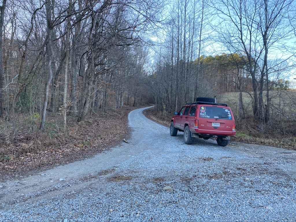
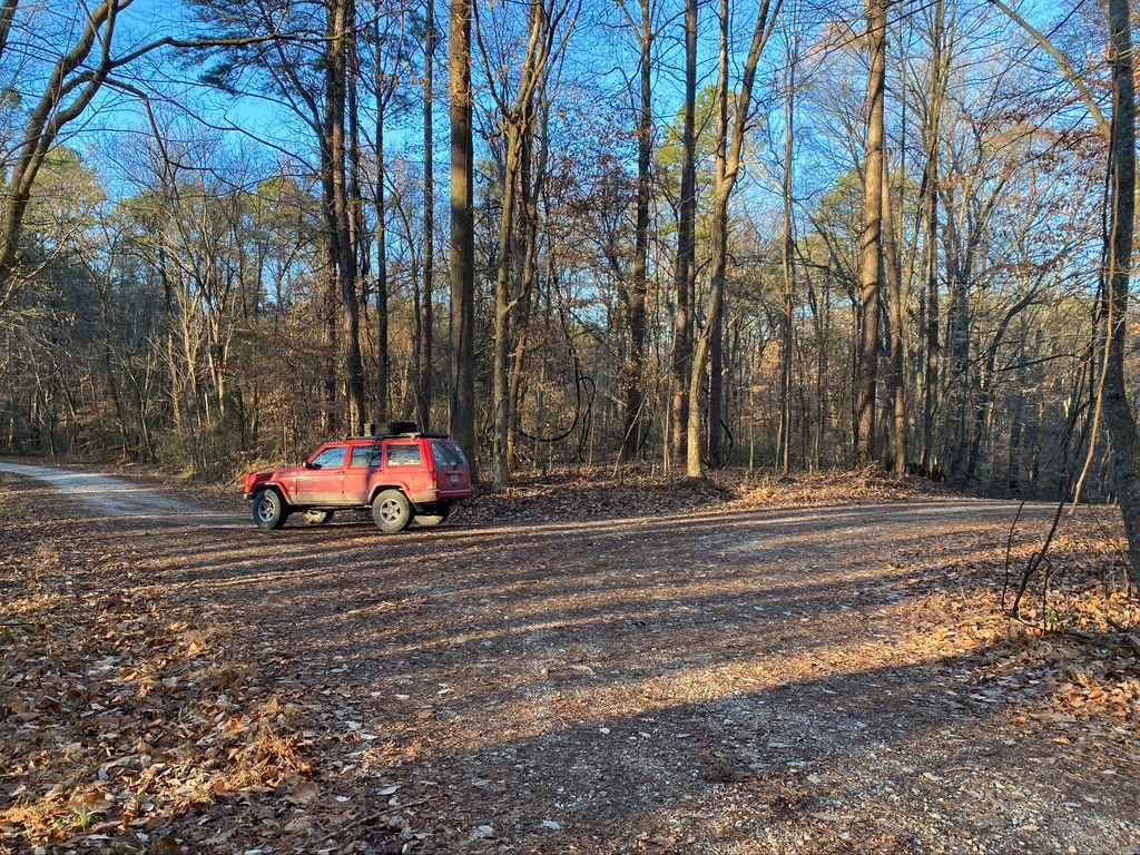
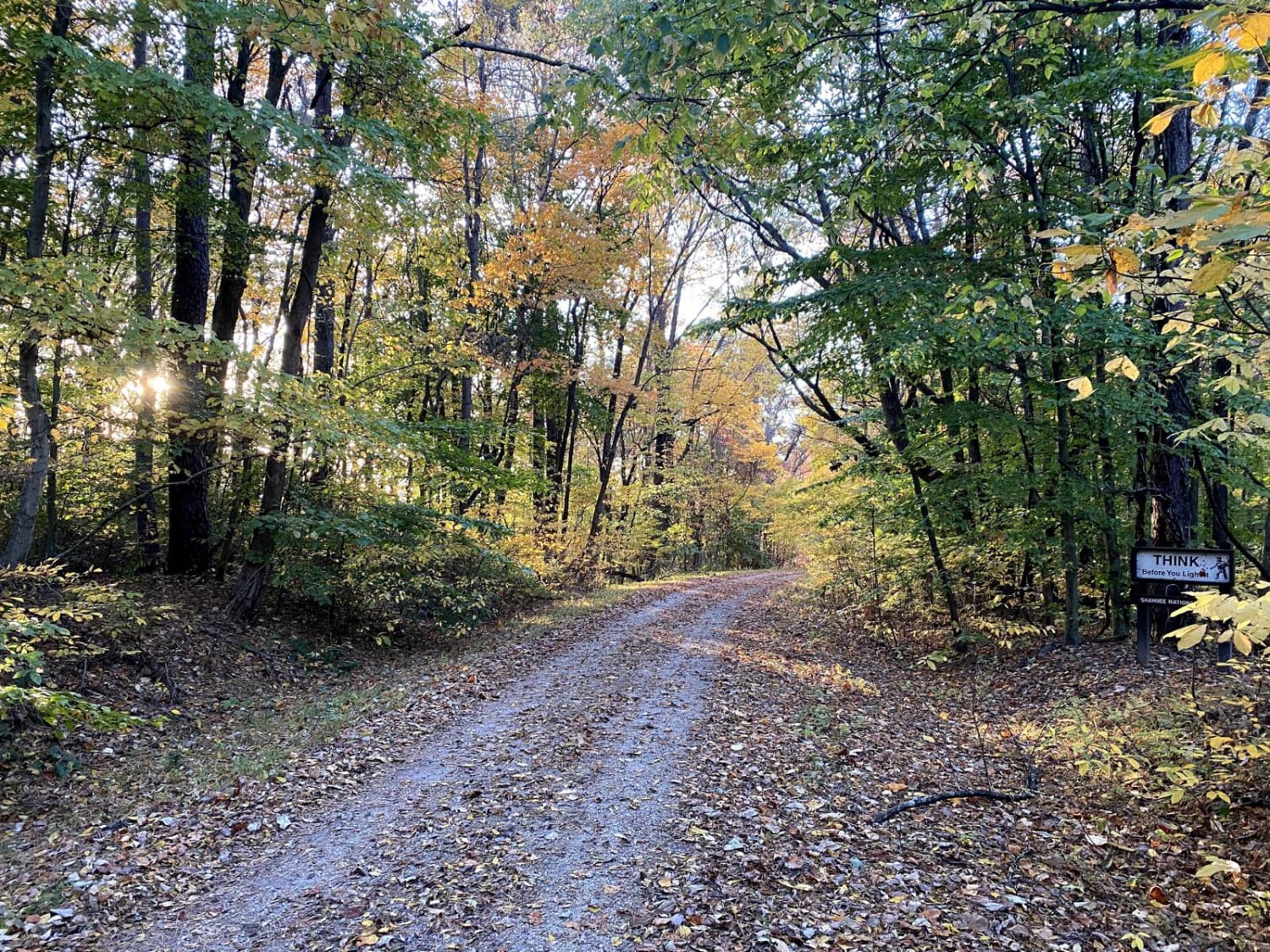
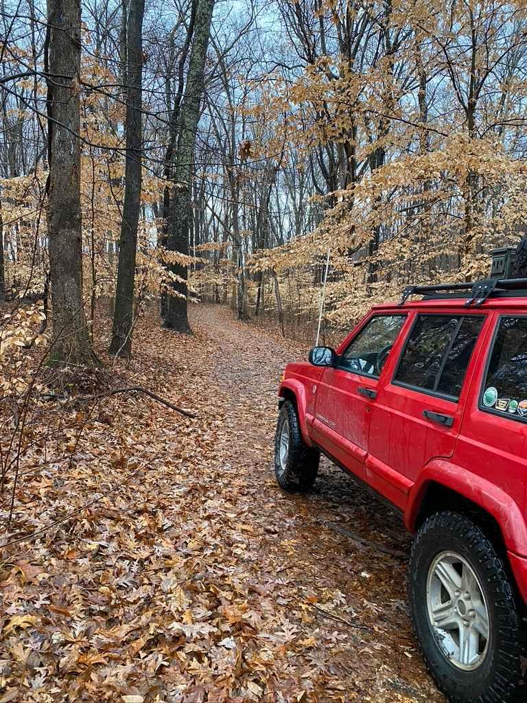
The West Silica Hill Road SFR 645 is a 1.3-mile-long forestry road through Shawnee National Forest. As you travel the road, grades come in waves from gradual incline to steep grades. These steep grades include tight turns, medium-sized ruts, bare dirt sections, and some mild water collection spots. In a few areas, the gravel becomes thin and the dirt takes over, creating soft spots in the road. The drive to the top leads straight into the middle of the Rock Top SFR 233, which has some of the best views of the area. With rain and wet conditions, the difficulty of this trail only increases.
Photos of Silica Hill Road SFR 645
Difficulty
The main difficulty is crossing ruts while climbing the steep grades, just have to be mindful of keeping momentum but not pushing too hard straight into a rut.
Status Reports
Silica Hill Road SFR 645 can be accessed by the following ride types:
- High-Clearance 4x4
- SUV
Silica Hill Road SFR 645 Map
Popular Trails
Gale Trail Road FSR 272
West Silica Hill Road
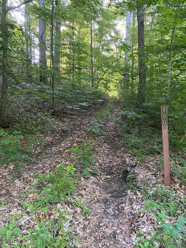
Diswood FSR 690
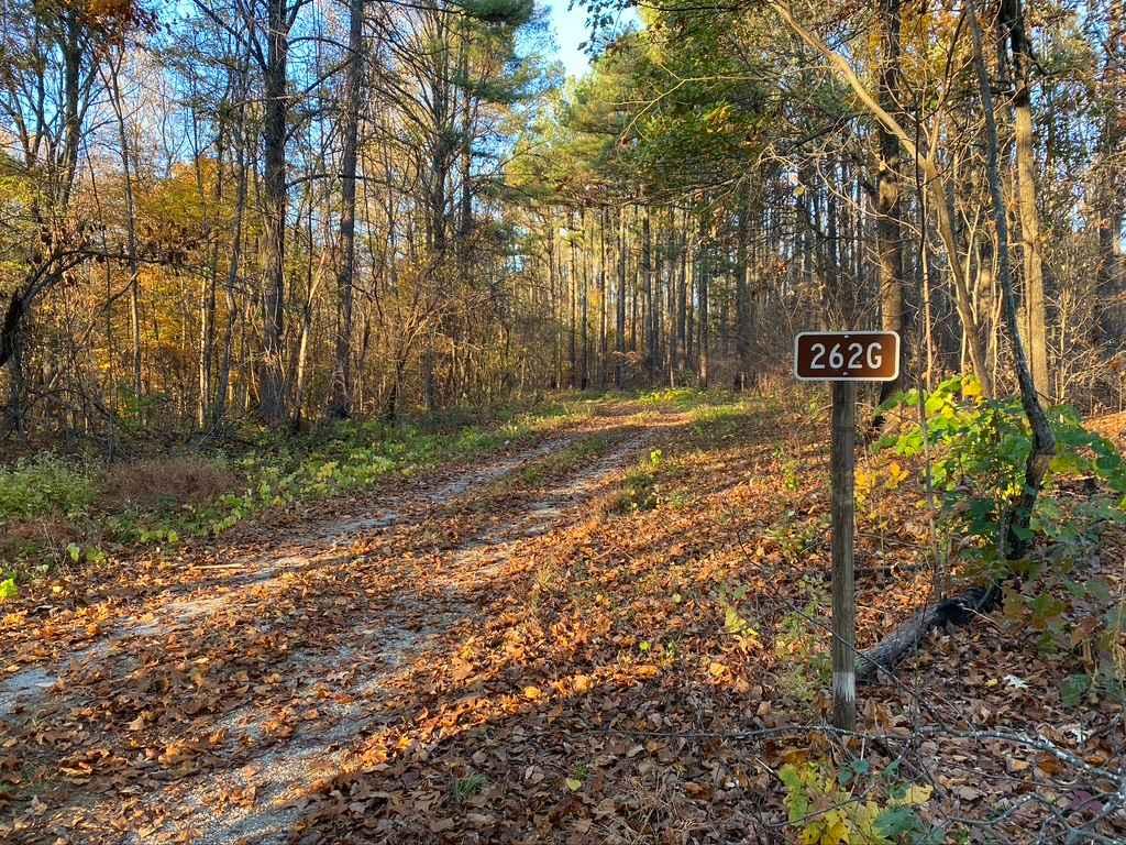
Slick Ridge FSR 262G
The onX Offroad Difference
onX Offroad combines trail photos, descriptions, difficulty ratings, width restrictions, seasonality, and more in a user-friendly interface. Available on all devices, with offline access and full compatibility with CarPlay and Android Auto. Discover what you’re missing today!