Harquahala Peak
Total Miles
10.3
Technical Rating
Best Time
Spring, Fall
Trail Type
Full-Width Road
Accessible By
Trail Overview
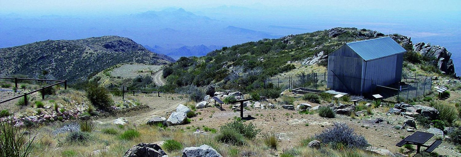
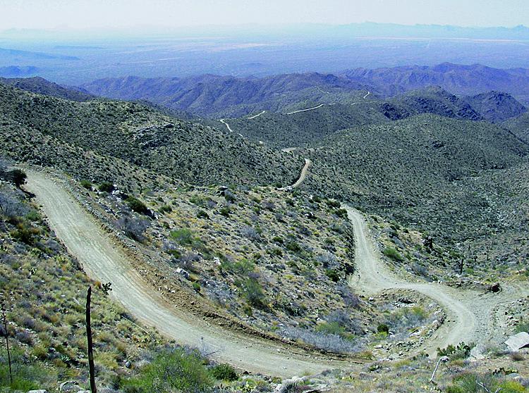
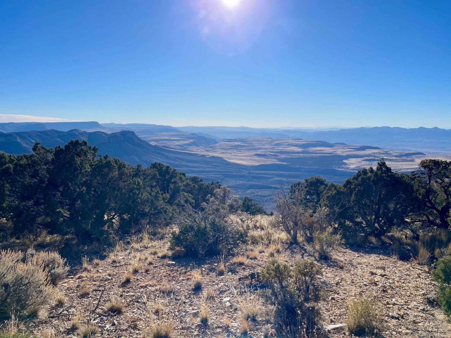
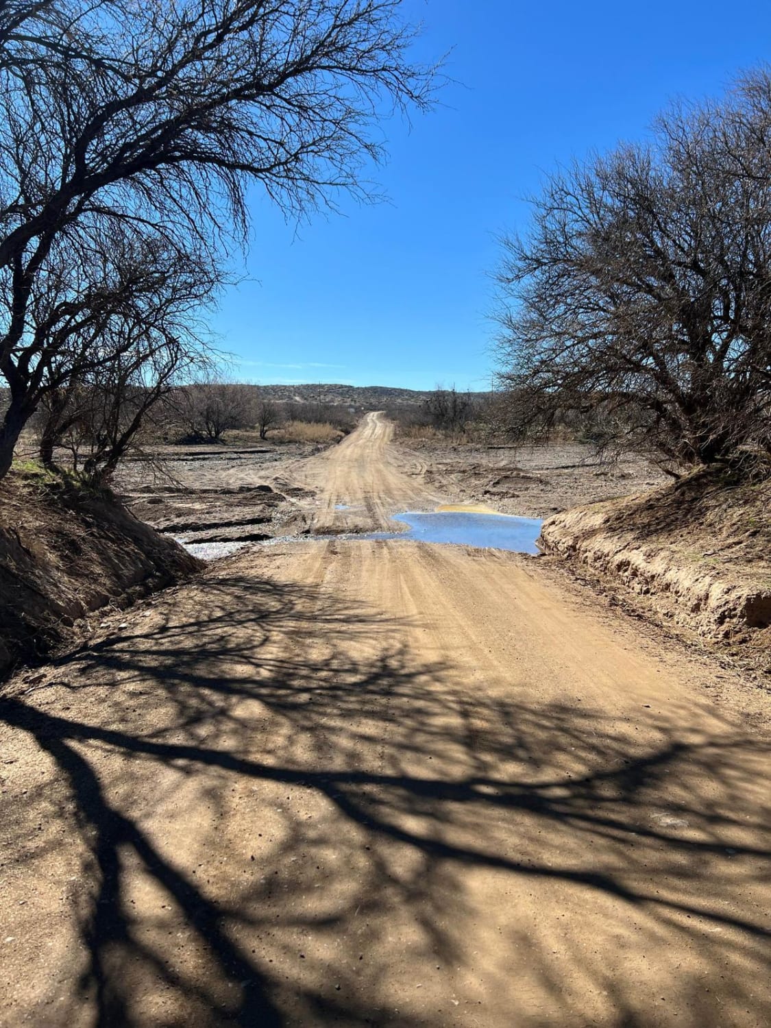
This trail is a BLM National Byway. It will take you to the top of Harquahala Peak at 5,681 feet. There is a nice parking area with picnic tables at the top, so bring a lunch. If you want to hike, you can get to an old 1920s observatory. This area is open to unlicensed vehicles with a bunch of side roads to check out. Camping is also available.
Photos of Harquahala Peak
Difficulty
Easy: It gets a bit narrow, steep and rough at the top, but any stock 4WD SUV with low range can make it.
History
At the top, find an observatory built by the Smithsonian Institution in use from 1920 to 1925. Information panels explain the history
Status Reports
Harquahala Peak can be accessed by the following ride types:
- High-Clearance 4x4
- SUV
- SxS (60")
- ATV (50")
- Dirt Bike
Harquahala Peak Map
Popular Trails
Heavenly Pass
Last Chance Knoll 1071
Old Sycamore Road
The onX Offroad Difference
onX Offroad combines trail photos, descriptions, difficulty ratings, width restrictions, seasonality, and more in a user-friendly interface. Available on all devices, with offline access and full compatibility with CarPlay and Android Auto. Discover what you’re missing today!