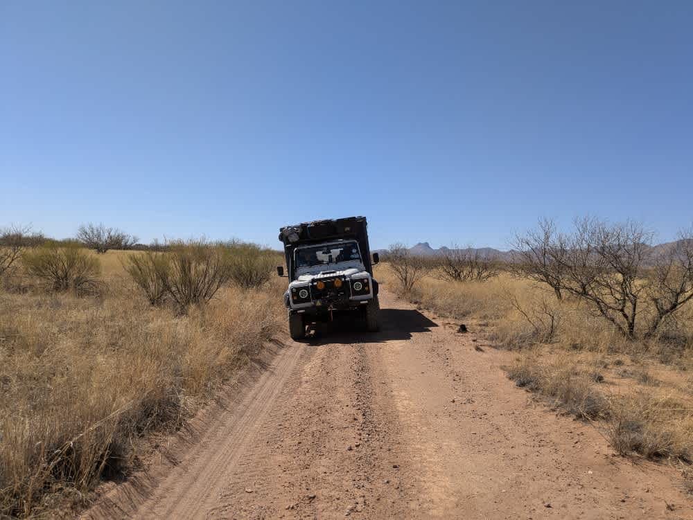
Old Sycamore Road
Total Miles
7.4
Technical Rating
Best Time
Spring, Summer, Fall, Winter
Trail Type
Full-Width Road
Accessible By
Trail Overview
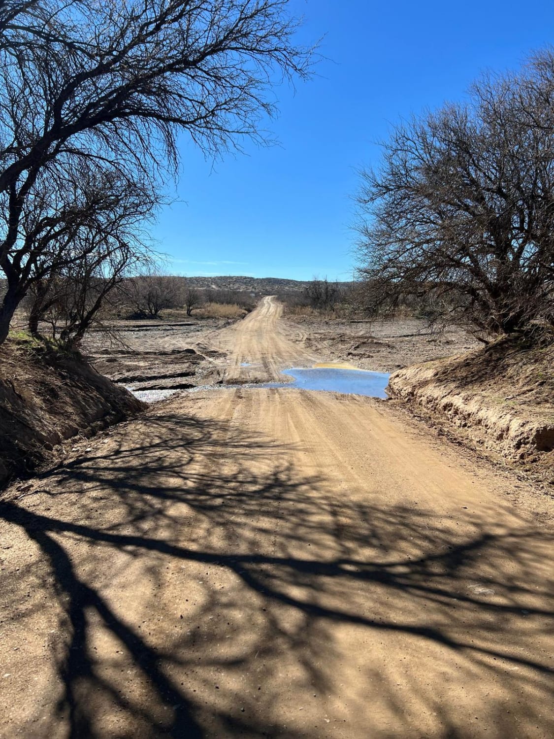
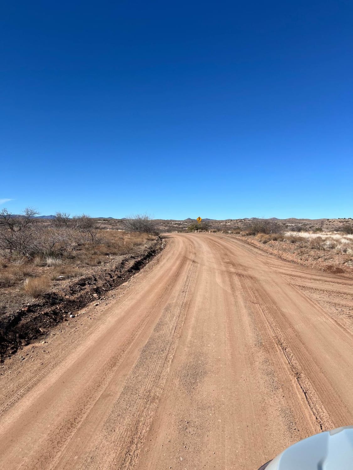
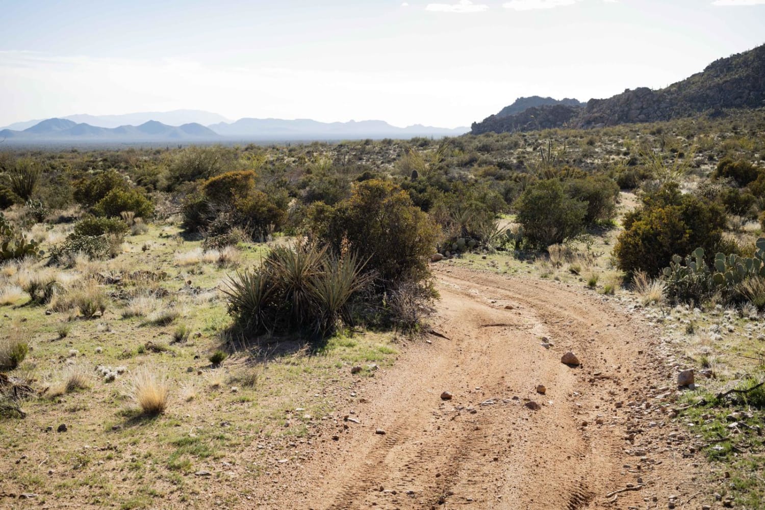
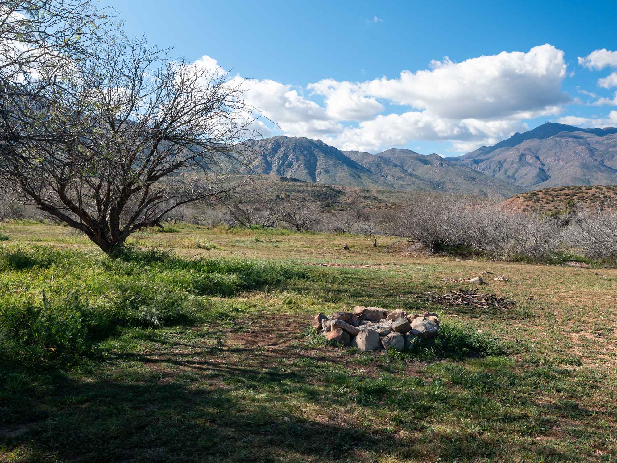
This trail is a well-maintained road that goes through the rolling hills of north-central Arizona. Most of this trail is on Arizona State Land which requires a permit for recreation like camping. The trail crosses the Aqua Fria River which is usually a dry riverbed in this area. Snowmelt and large rainstorms can cause this river to run, so use caution if the water is high and running. The last part of this trail goes through a small residential area, so be courteous and drive slowly to keep the dust down.
Photos of Old Sycamore Road
Difficulty
This trail will go up in rating if the Agua Fria River is flowing.
Status Reports
Old Sycamore Road can be accessed by the following ride types:
- High-Clearance 4x4
- SUV
- SxS (60")
- ATV (50")
- Dirt Bike
Old Sycamore Road Map
Popular Trails
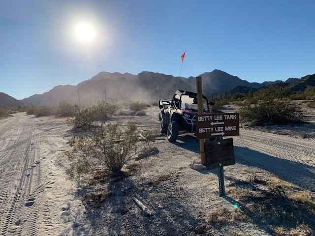
Betty Lee Mine Loop
Secundino Trail Loop
The onX Offroad Difference
onX Offroad combines trail photos, descriptions, difficulty ratings, width restrictions, seasonality, and more in a user-friendly interface. Available on all devices, with offline access and full compatibility with CarPlay and Android Auto. Discover what you’re missing today!