
Beginner Off-Road Trails
Near Lookingglass, Oregon
Explore All Beginner Trails Near Lookingglass, Oregon
Beginner Off-Road Trails Near Lookingglass, Oregon
Discover the best beginner-friendly off-road trails near you. These easier, lower-rated trails are a great place to start — browse trail maps, check difficulty ratings, and find your next adventure.
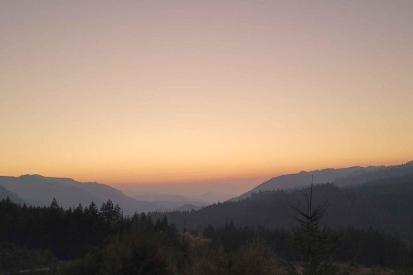
Backroads to Swiftwater to Peel Oregon
Great viewing points of the N. Umpqua River and the area of Thunder Mountain. There are lots of opportunities for mudding and enjoying a nice day on the mountain. It is a great trail for getting from Lil River Side to Rock Creek side in an SxS or 4Wheeler. Come prepared with food, drink, water, and ...
Learn more about Backroads to Swiftwater to Peel Oregon
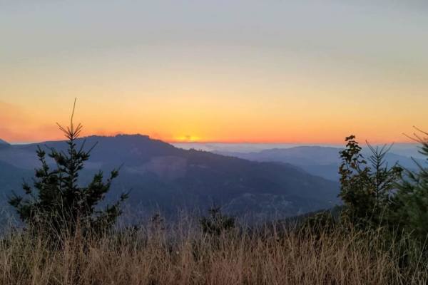
Peel to Wolf Creek Job Corps Bypass Route
This route is a bypass for local residents and employees of Job Corps to avoid fire or road hazards that may arise. It is mostly small tire-friendly. Use caution during the week as it will have moderate log truck traffic in the area and on Little River Road.
Learn more about Peel to Wolf Creek Job Corps Bypass Route
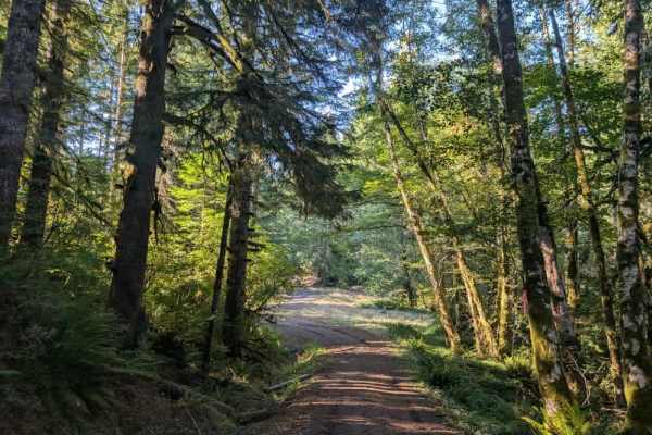
1850
This beautifully maintained trail winds through the area with a mix of climbs and descents before connecting to the main Route 3, a large gravel road that provides access to the surrounding trail network. The trail is generally in good condition, but there is a particularly steep downhill section, s...
Learn more about 1850
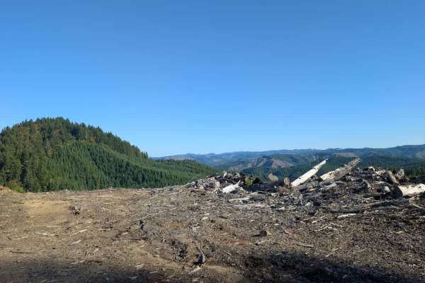
1857
This short but exciting trail features a steep descent, followed by a steep climb, then drops down again. The route eventually reaches a lower staging area with plenty of room to turn around and a large area that may suit dispersed camping. The staging area also has two targets for target shooting. ...
Learn more about 1857
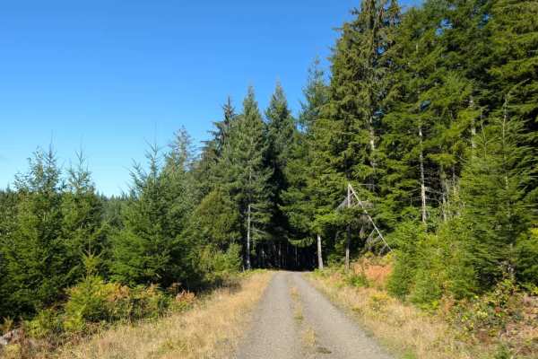
1900
The route moves between wide-open forest, deeper, darker sections, lush green vegetation, and logged areas. The road surface consists of well-maintained gray-brown dirt and gravel, making for a beautiful drive through the area. The trail ends where a sand berm blocks the road and prevents further tr...
Learn more about 1900
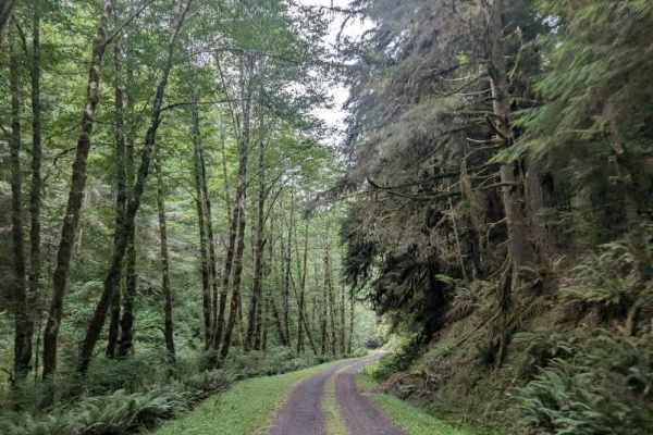
9000
This well-maintained but slippery trail follows a mountain ridgeline and descends steadily through the forest. The route drops approximately 600 feet over 1.5 miles, making for a fairly steep downhill drive. Take care on the descent, particularly where the surface becomes slippery. The trail eventua...
Learn more about 9000
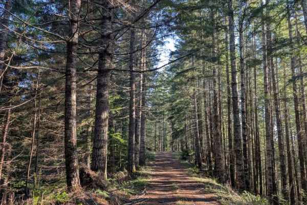
1845
This short but exciting maintained trail follows a mountain ridgeline with steep drop-offs on both sides. The route is generally in good condition, but one section just before the dispersed campsite becomes particularly narrow, with drop-offs on either side. Vegetation along the edges is beginning t...
Learn more about 1845
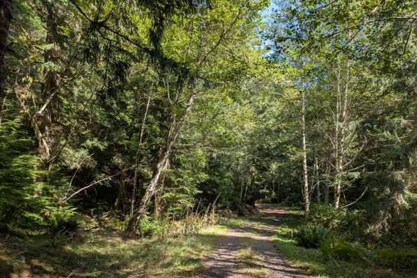
1440
This beautiful, well-maintained trail is a short, one-way-in, one-way-out route, so you must travel the same road in both directions. The trail descends all the way to the bottom, so be prepared for the climb back up on the return trip. At the bottom is the Jerry Phillips Reserve, a 58-acre grove of...
Learn more about 1440
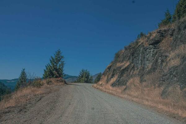
Lookout Mountain
Lookout Mountain road runs through the Umpqua National Forest, it is an easy gravel road with sections that can be gradually steep and curvy. There are some sections of this road that have really cool rock formations and pretty views. There is also a really cool spot at Emile Shelter to stop and enj...
Learn more about Lookout Mountain
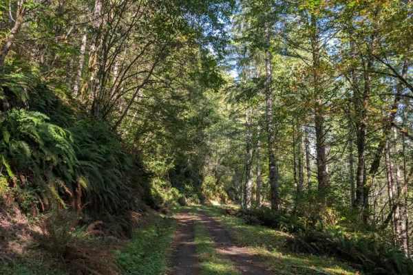
1100
This absolutely stunning trail follows a ridgeline with significant drop-offs, so use extra caution throughout. The road is quite narrow and steep in places, with a long downhill section followed by a steep climb on the return trip; take it easy on the descent and watch your brakes. A small side roa...
Learn more about 1100
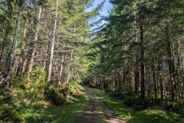
1380
This beautiful trail enters forestry land managed by Weyerhaeuser, where posted signage prohibits camping, hiking, fires, and other activities. Please follow all posted restrictions and respect the property. Shortly after the start, the road splits. Stay to the left, as the right branch leads uphill...
Learn more about 1380
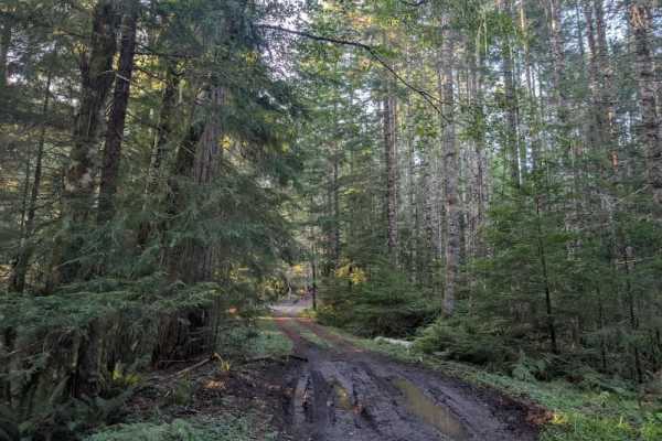
1820
This short but beautiful trail leads to two dispersed camping areas. The first branches off to the right and overlooks a scenic ledge with a great viewpoint. The second continues to an open area, where elk were heard bugling during the visit. Gunshots were also heard shortly afterward, indicating th...
Learn more about 1820
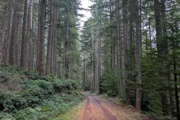
1800
This beautiful, well-maintained trail is generally single-lane throughout and offers an impressive variety of forest scenery. The route begins in a narrow, dark forest before opening into more spacious woodland and climbing toward elevations of 1,800 feet and higher. From there, it descends into a l...
Learn more about 1800
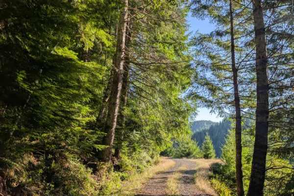
1840 West
This maintained trail winds through the forest with a mix of switchbacks, curves, and winding sections. The route moves between open areas, open forest, and deeper, darker sections of trees, creating a nice variety of scenery. Watch for oncoming traffic, particularly around the many curves and tight...
Learn more about 1840 West
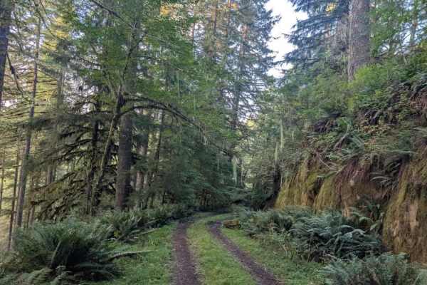
1740
This short but beautiful trail offers a majestic drive through the forest as it climbs steadily up a steep incline. The route climbs for an extended stretch before leveling out, then passes through several muddy areas that require extra caution. After the muddy sections, the trail climbs again befor...
Learn more about 1740
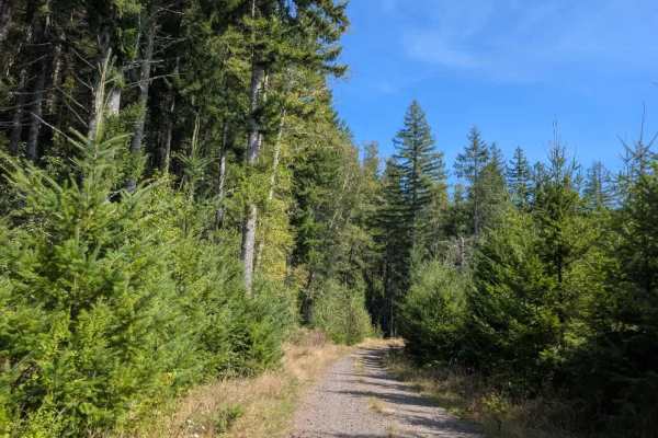
1400
This absolutely stunning trail follows a ridgeline with significant drop-offs, so use extra caution throughout. The road is quite narrow and steep in places, with a long downhill section followed by a steep climb on the return trip. Take it easy on the descent and watch your brakes, especially after...
Learn more about 1400
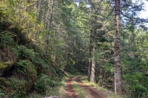
1420
This gravel trail begins with a steady descent before becoming significantly steeper farther along the route. The descent is a bit difficult, and the muddy surface can become very slippery, so low range is advisable for both the descent and the climb back up. Although the forest is generally wet, it...
Learn more about 1420
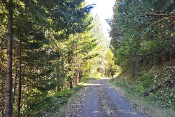
FS 3220900
This well-maintained forest road climbs steadily into the mountains, following a winding, mostly single-lane route with occasional pullouts where vehicles can move aside for passing traffic. The road includes numerous switchbacks, sharp curves, and blind corners, so drivers should stay alert for onc...
Learn more about FS 3220900
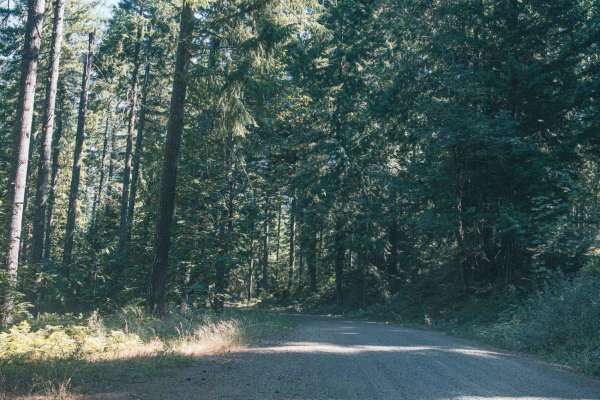
Lower Emily
Lower Emily is an easy, scenic 2.4-mile gravel route in the Umpqua National Forest that provides essential access to the popular Grotto Falls Trailhead, making it perfect for beginners, scenic drivers, and families looking for a classic Pacific Northwest outdoor adventure. Navigating through towerin...
Learn more about Lower Emily
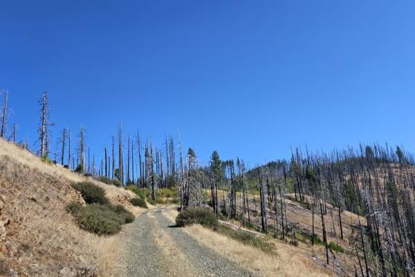
FS 3220300
This trail begins as a well-maintained gravel road and is relatively easy to follow through the first section. Conditions change at a major split, where the road to the right leads toward the 320 and includes a steep descent. Continuing on this route, the trail becomes narrower and more rugged, with...
Learn more about FS 3220300
Beginner ATV trails near Lookingglass, Oregon
Explore ATV-friendly trails near you. These trails are accessible for vehicles up to 50 inches wide, perfect for ATVs and smaller off-road machines.
Backroads to Swiftwater to Peel Oregon
Great viewing points of the N. Umpqua River and the area of Thunder Mountain. There are lots of opportunities for mudding and enjoying a nice day on the mountain. It is a great trail for getting from Lil River Side to Rock Creek side in an SxS or 4Wheeler. Come prepared with food, drink, water, and ...
Learn more about Backroads to Swiftwater to Peel Oregon
Peel to Wolf Creek Job Corps Bypass Route
This route is a bypass for local residents and employees of Job Corps to avoid fire or road hazards that may arise. It is mostly small tire-friendly. Use caution during the week as it will have moderate log truck traffic in the area and on Little River Road.
Learn more about Peel to Wolf Creek Job Corps Bypass Route
1857
This short but exciting trail features a steep descent, followed by a steep climb, then drops down again. The route eventually reaches a lower staging area with plenty of room to turn around and a large area that may suit dispersed camping. The staging area also has two targets for target shooting. ...
Learn more about 1857
1900
The route moves between wide-open forest, deeper, darker sections, lush green vegetation, and logged areas. The road surface consists of well-maintained gray-brown dirt and gravel, making for a beautiful drive through the area. The trail ends where a sand berm blocks the road and prevents further tr...
Learn more about 1900
Beginner UTV/side-by-side trails near Lookingglass, Oregon
Find UTV and side-by-side trails near you. These trails accommodate vehicles up to 60 inches wide, ideal for UTVs, side-by-sides, and wider off-road rigs.
Backroads to Swiftwater to Peel Oregon
Great viewing points of the N. Umpqua River and the area of Thunder Mountain. There are lots of opportunities for mudding and enjoying a nice day on the mountain. It is a great trail for getting from Lil River Side to Rock Creek side in an SxS or 4Wheeler. Come prepared with food, drink, water, and ...
Learn more about Backroads to Swiftwater to Peel Oregon
Peel to Wolf Creek Job Corps Bypass Route
This route is a bypass for local residents and employees of Job Corps to avoid fire or road hazards that may arise. It is mostly small tire-friendly. Use caution during the week as it will have moderate log truck traffic in the area and on Little River Road.
Learn more about Peel to Wolf Creek Job Corps Bypass Route
1857
This short but exciting trail features a steep descent, followed by a steep climb, then drops down again. The route eventually reaches a lower staging area with plenty of room to turn around and a large area that may suit dispersed camping. The staging area also has two targets for target shooting. ...
Learn more about 1857
1900
The route moves between wide-open forest, deeper, darker sections, lush green vegetation, and logged areas. The road surface consists of well-maintained gray-brown dirt and gravel, making for a beautiful drive through the area. The trail ends where a sand berm blocks the road and prevents further tr...
Learn more about 1900
The onX Offroad Difference
onX Offroad combines trail photos, descriptions, difficulty ratings, width restrictions, seasonality, and more in a user-friendly interface. Available on all devices, with offline access and full compatibility with CarPlay and Android Auto. Discover what you're missing today!
Open Trail Map