Trail Overview
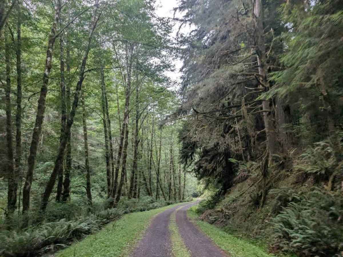
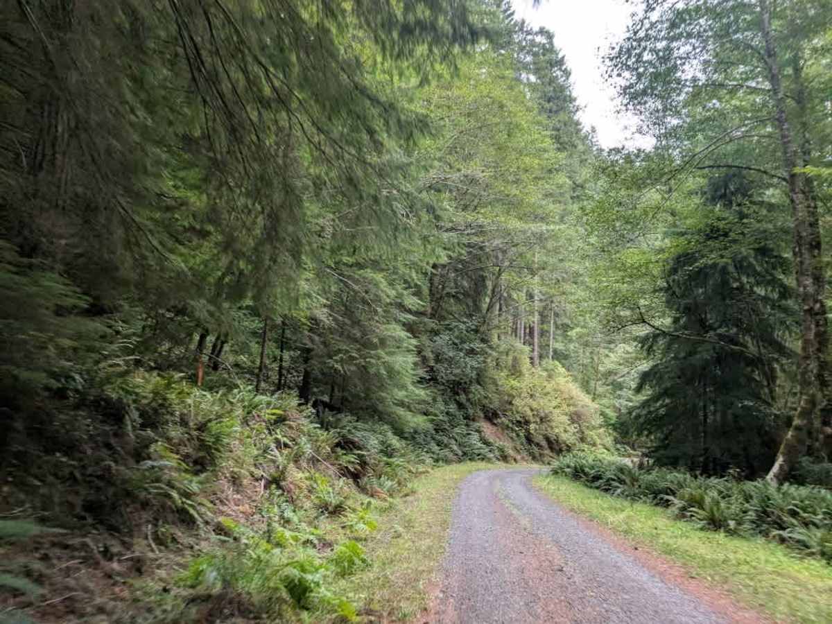
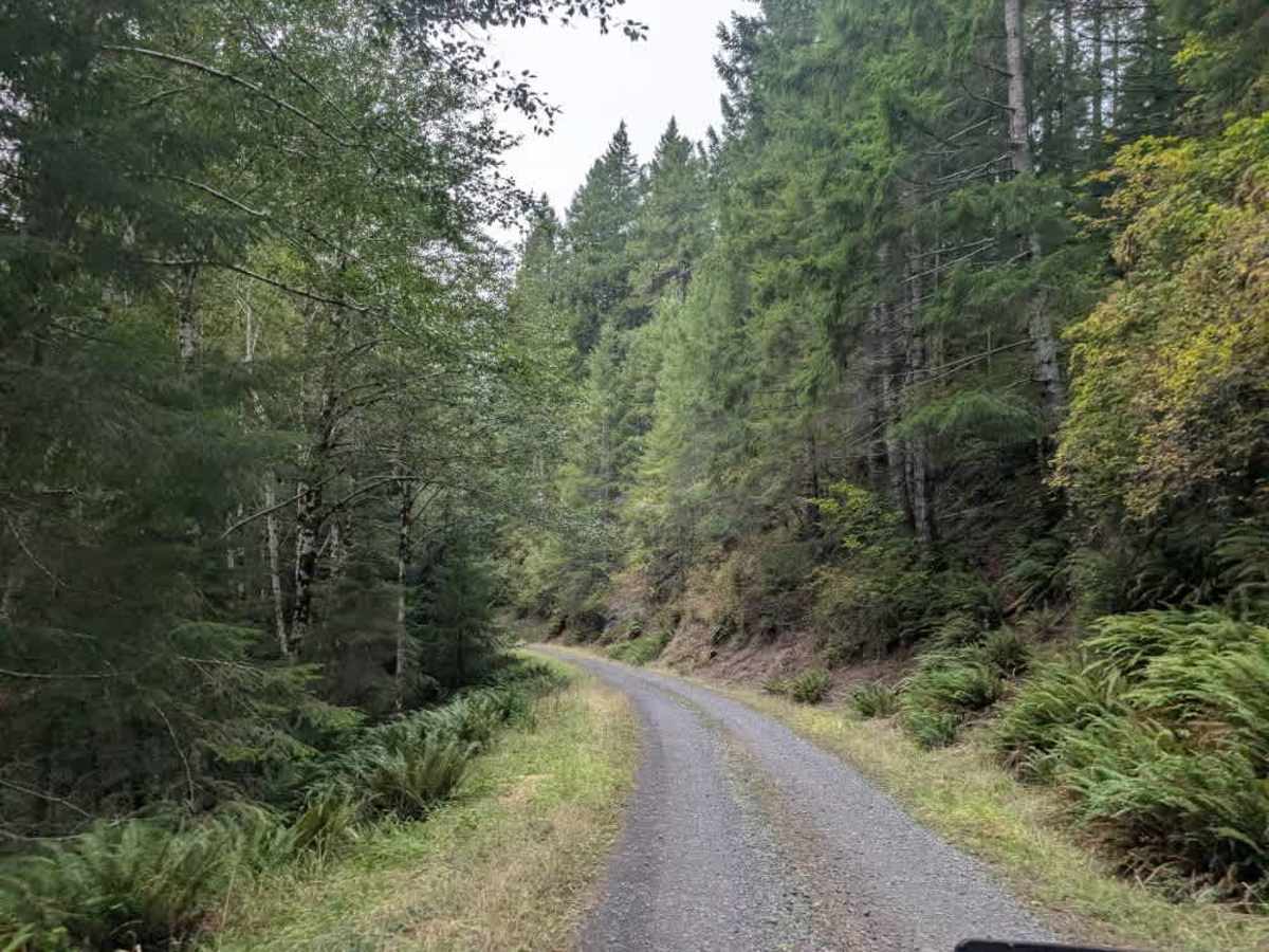
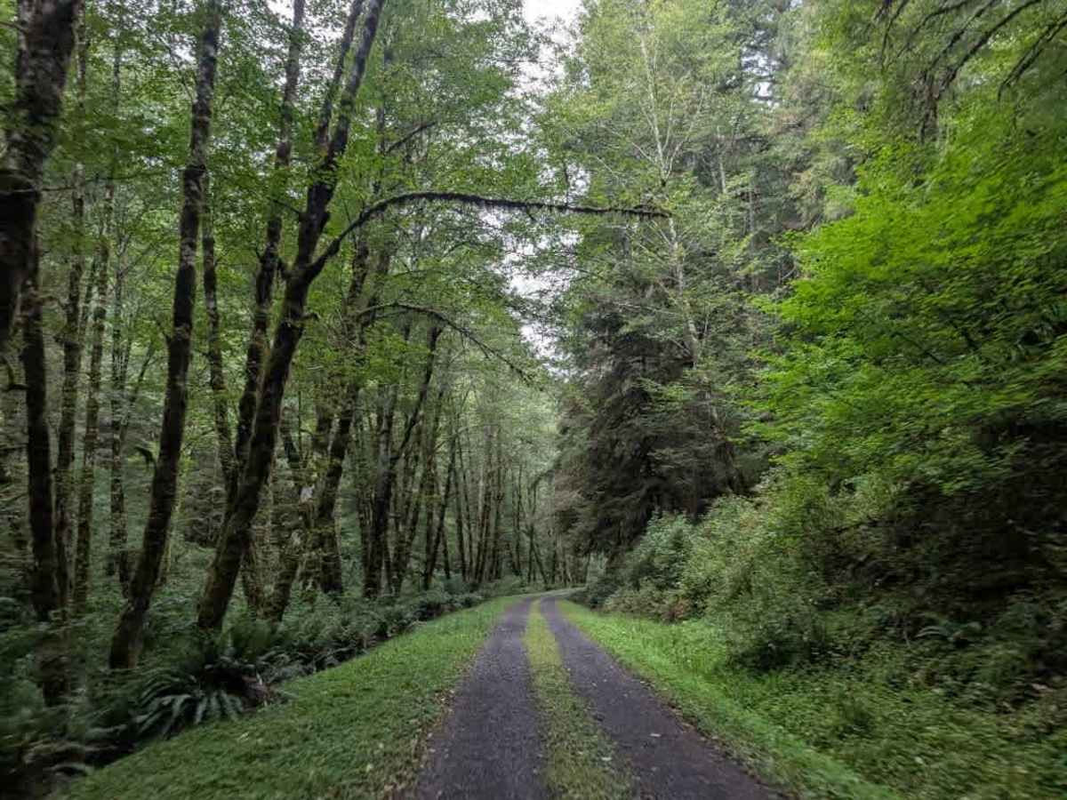
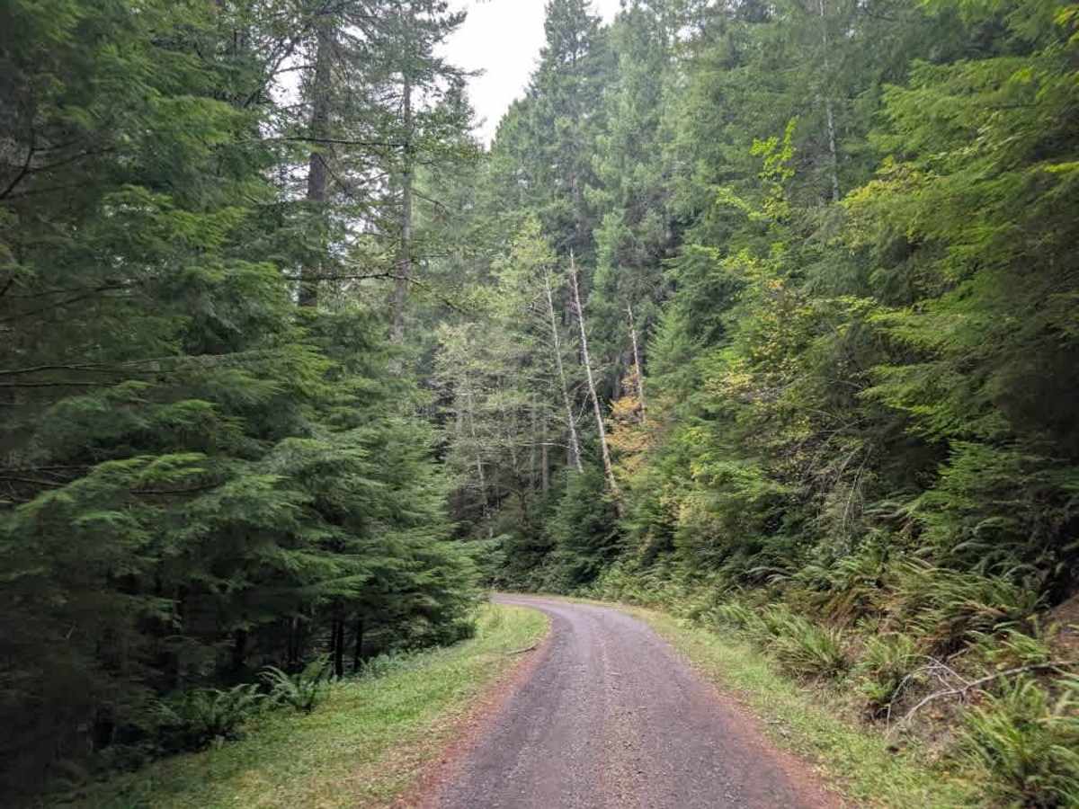
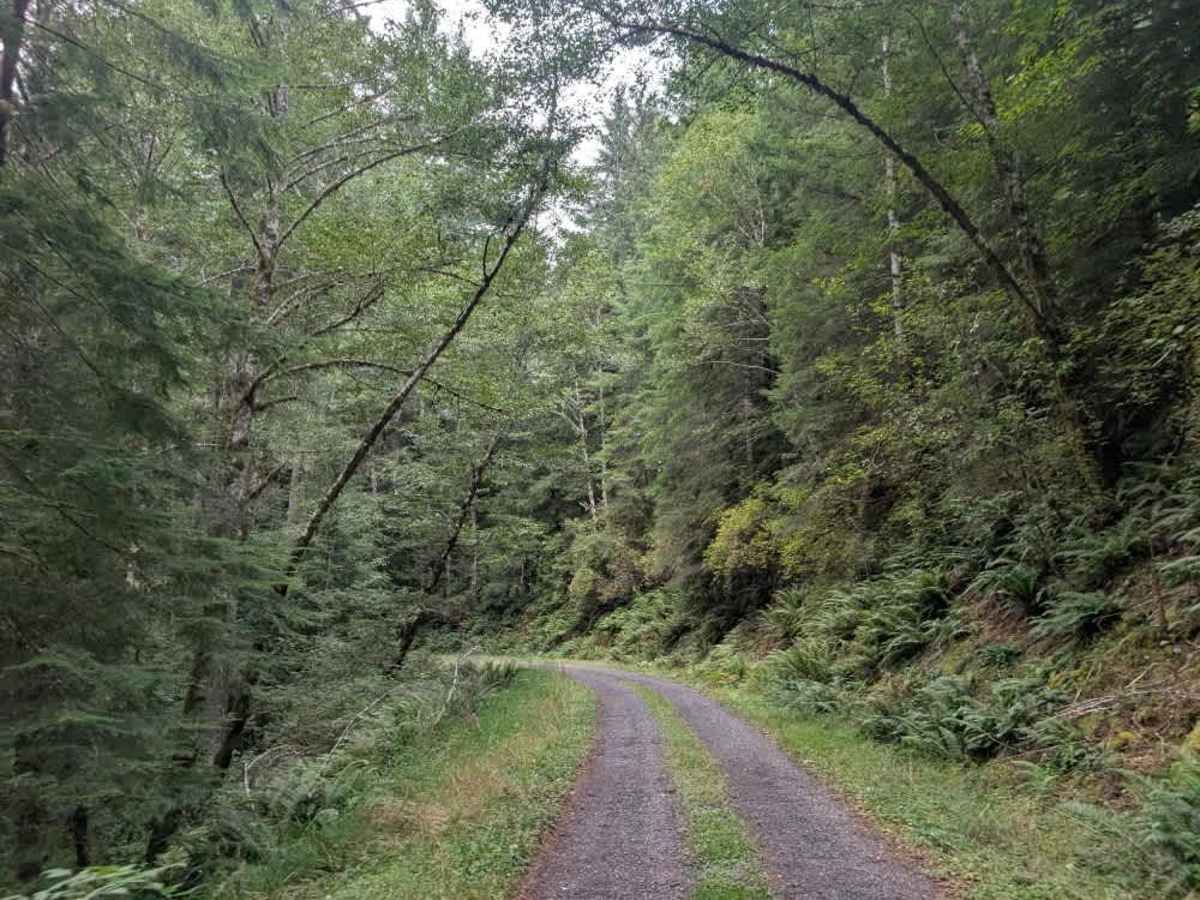
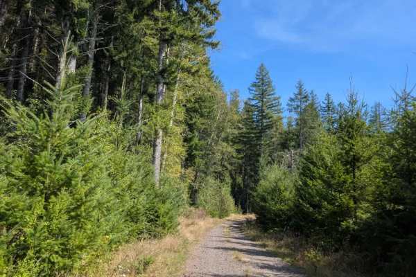
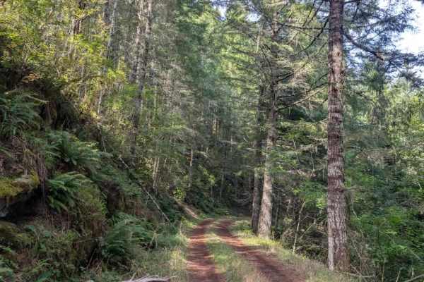
This well-maintained but slippery trail follows a mountain ridgeline and descends steadily through the forest. The route drops approximately 600 feet over 1.5 miles, making for a fairly steep downhill drive. Take care on the descent, particularly where the surface becomes slippery. The trail eventually reaches a creek or water crossing area, where two additional trails branch off from the main route. These splits offer options to explore the surrounding area before continuing along the main trail. Use caution throughout the descent, and watch for changing road conditions, especially when the trail is wet or slick. This area is open year-round on gravel roads. However, travel on dirt roads is restricted during wet conditions, which typically occur from October 1 through June 1. OHV use is prohibited where vegetation is present on the road during fire season, typically June through October. ATVs, UTVs, Side-by-Sides, and Dirt Bikes must always have a valid Oregon ATV Operating Permit sticker.