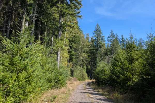
Trail Overview
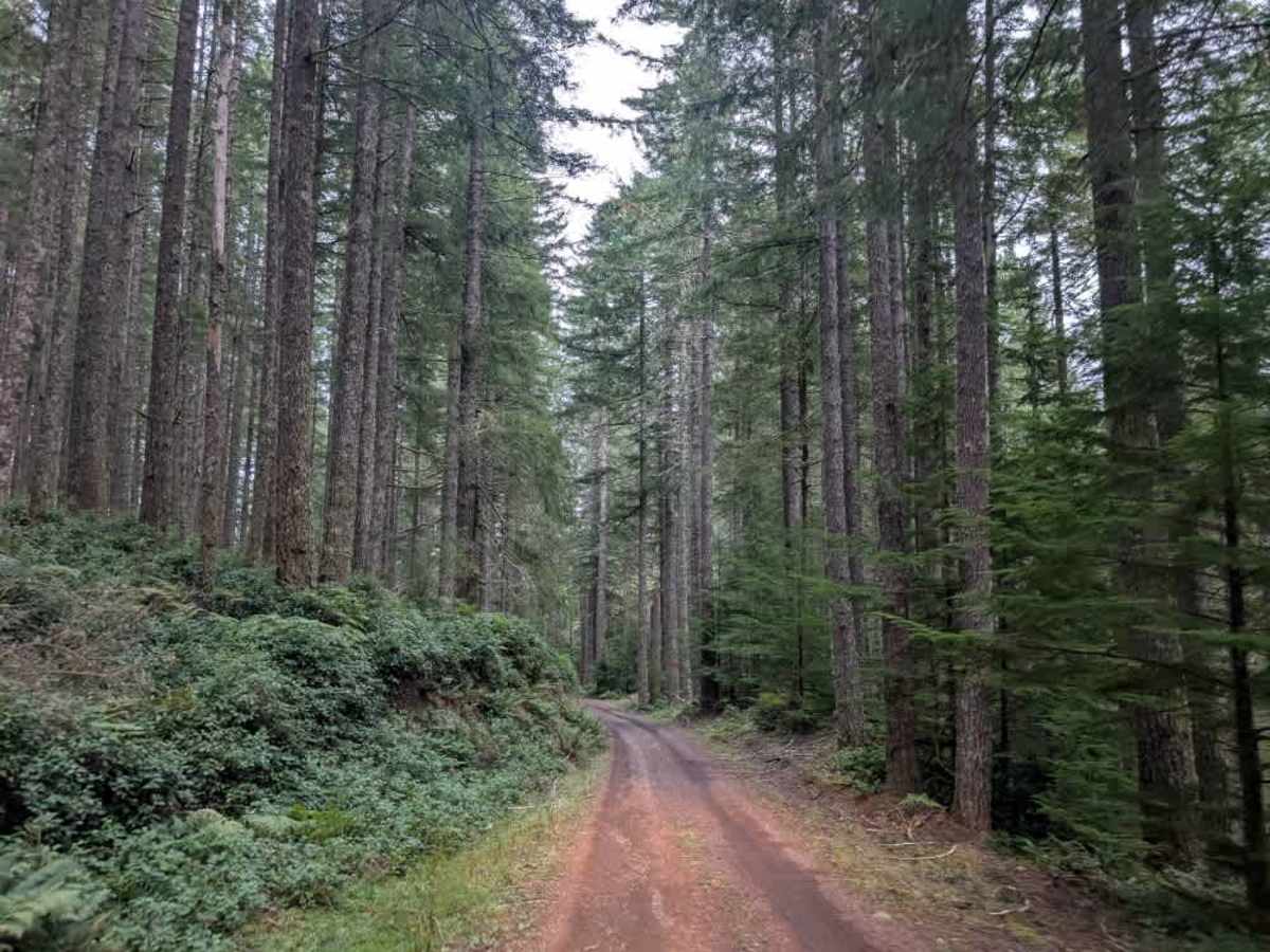
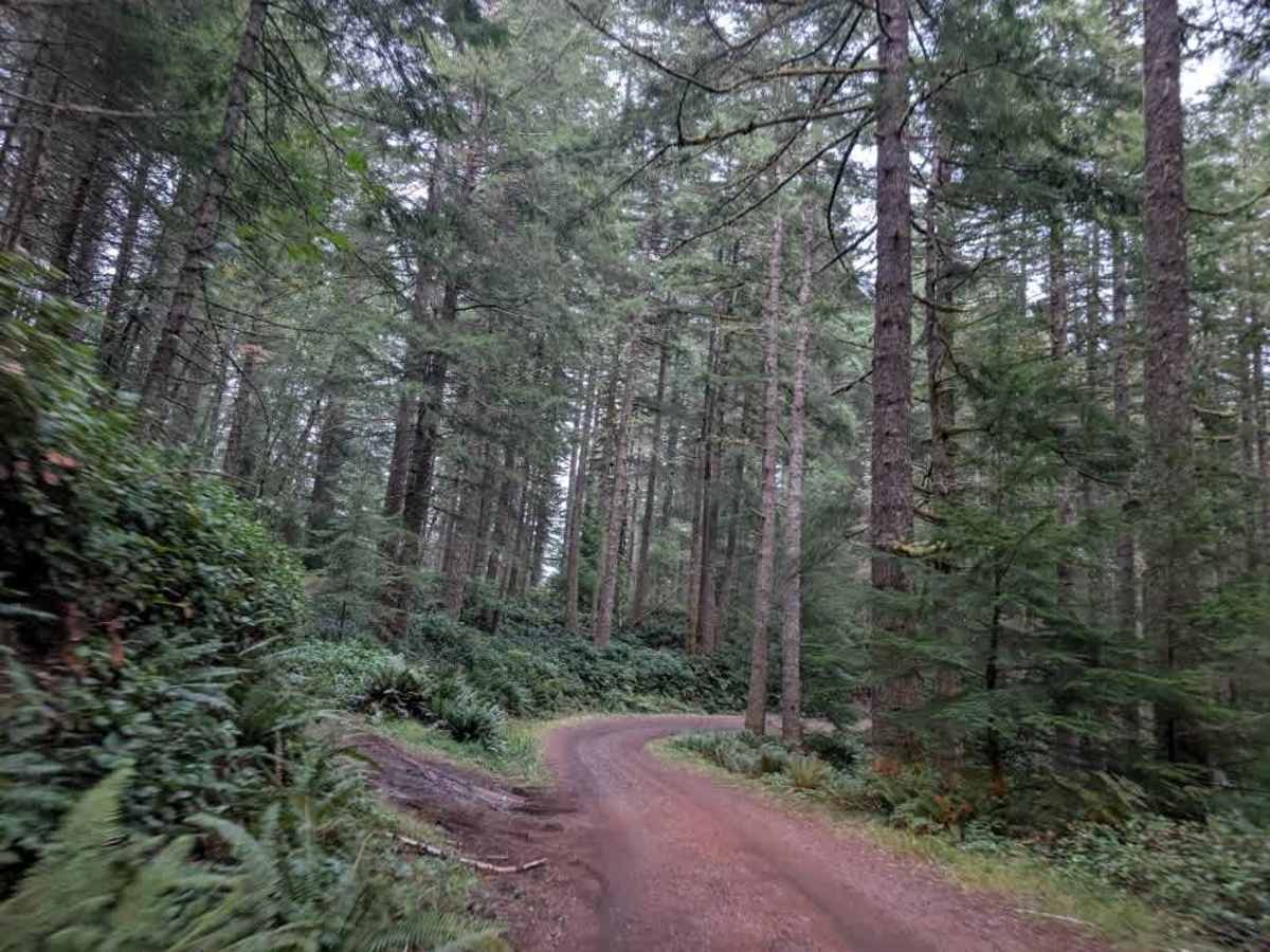
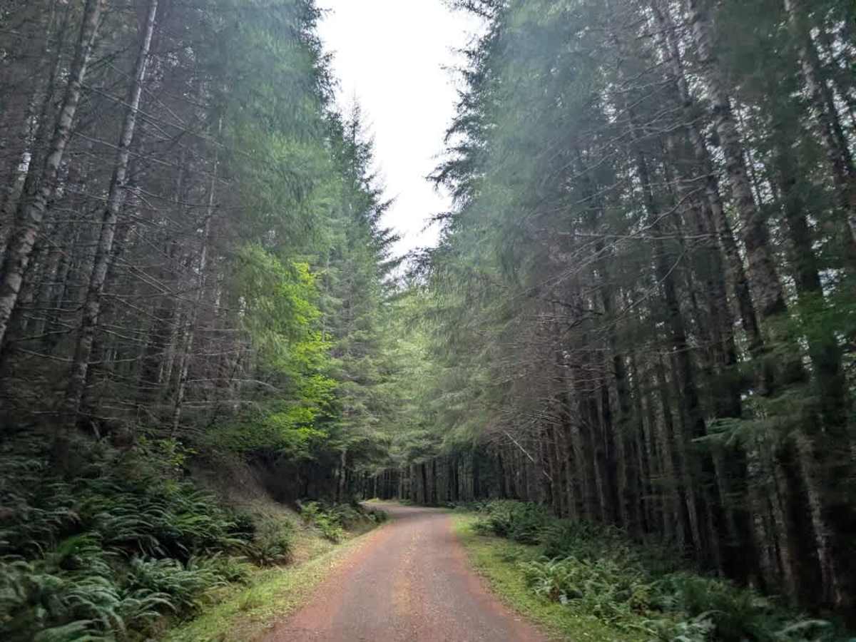
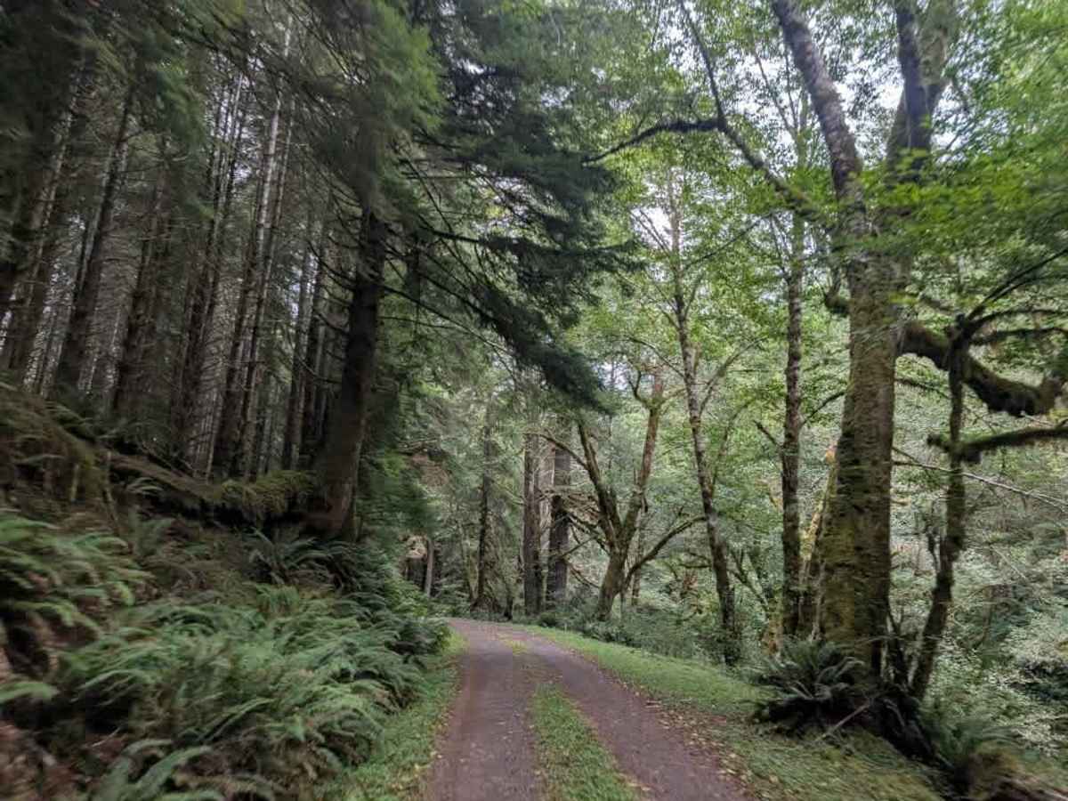
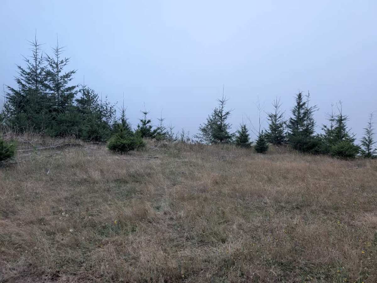
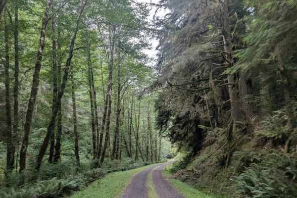
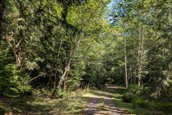
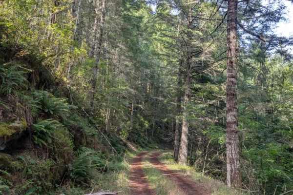
This beautiful, well-maintained trail is generally single-lane throughout and offers an impressive variety of forest scenery. The route begins in a narrow, dark forest before opening into more spacious woodland and climbing toward elevations of 1,800 feet and higher. From there, it descends into a lush, rainforest-like section before continuing through an exceptionally green area where the dense vegetation can make the trail feel much darker even during daylight hours. The route continues through a series of climbs and descents before eventually dropping farther down to meet the main arterial road. The trail is wet in many areas, so take care and avoid excessive speed, particularly around corners. Numerous blind corners, switchbacks, and curves line the route. Even when the trail appears quiet, oncoming traffic may appear around the next corner, so stay alert and be prepared to encounter other vehicles at any time. This area is open year-round on gravel roads. However, travel on dirt roads is restricted during wet conditions, which typically occur from October 1 through June 1. OHV use is prohibited where vegetation is present on the road during fire season, typically June through October. ATVs, UTVs, Side-by-Sides, and Dirt Bikes must always have a valid Oregon ATV Operating Permit sticker.