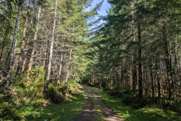
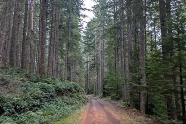
Trail Overview
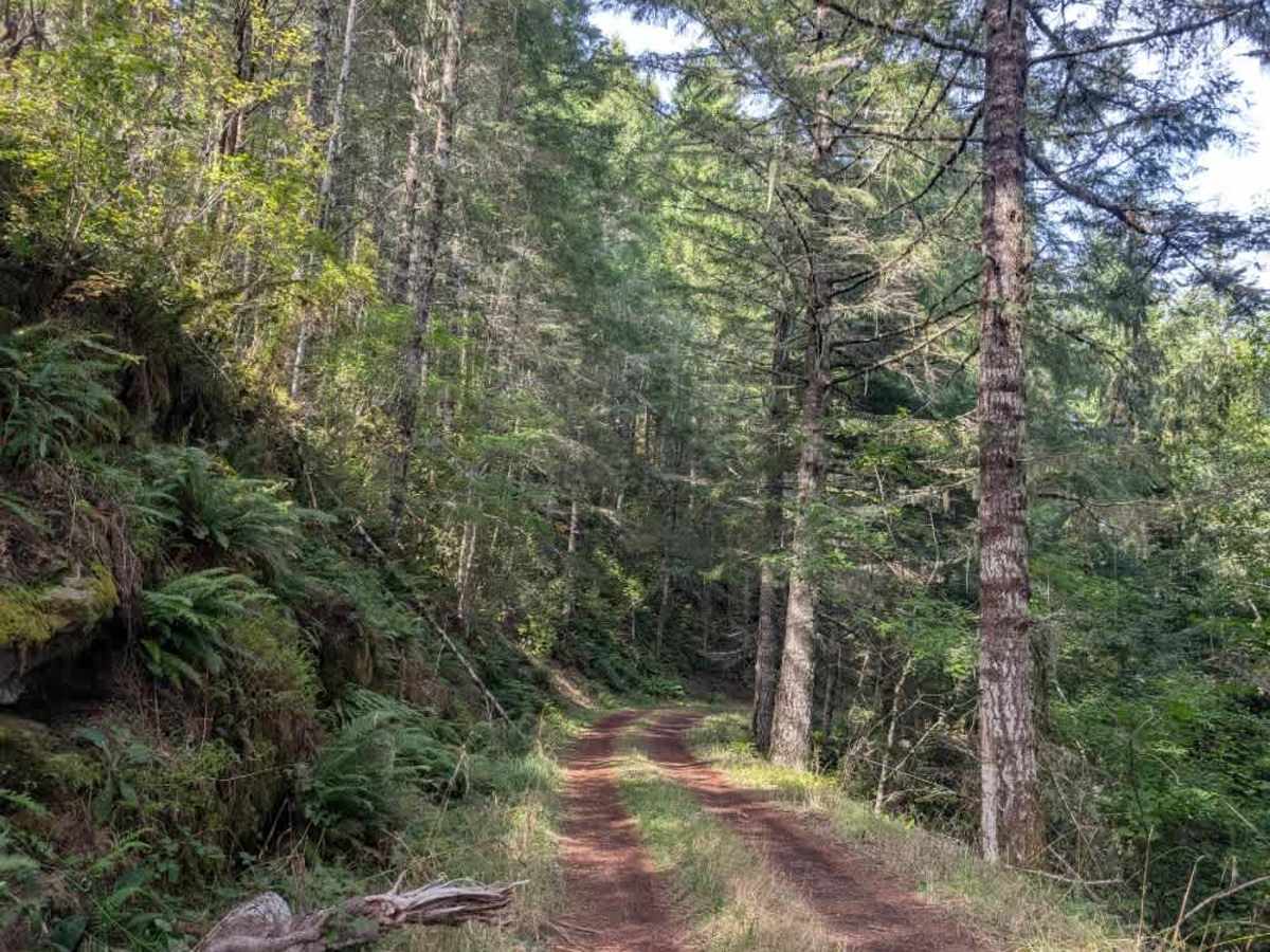
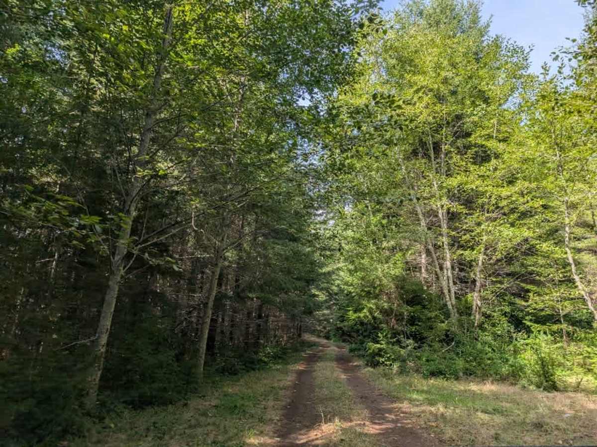
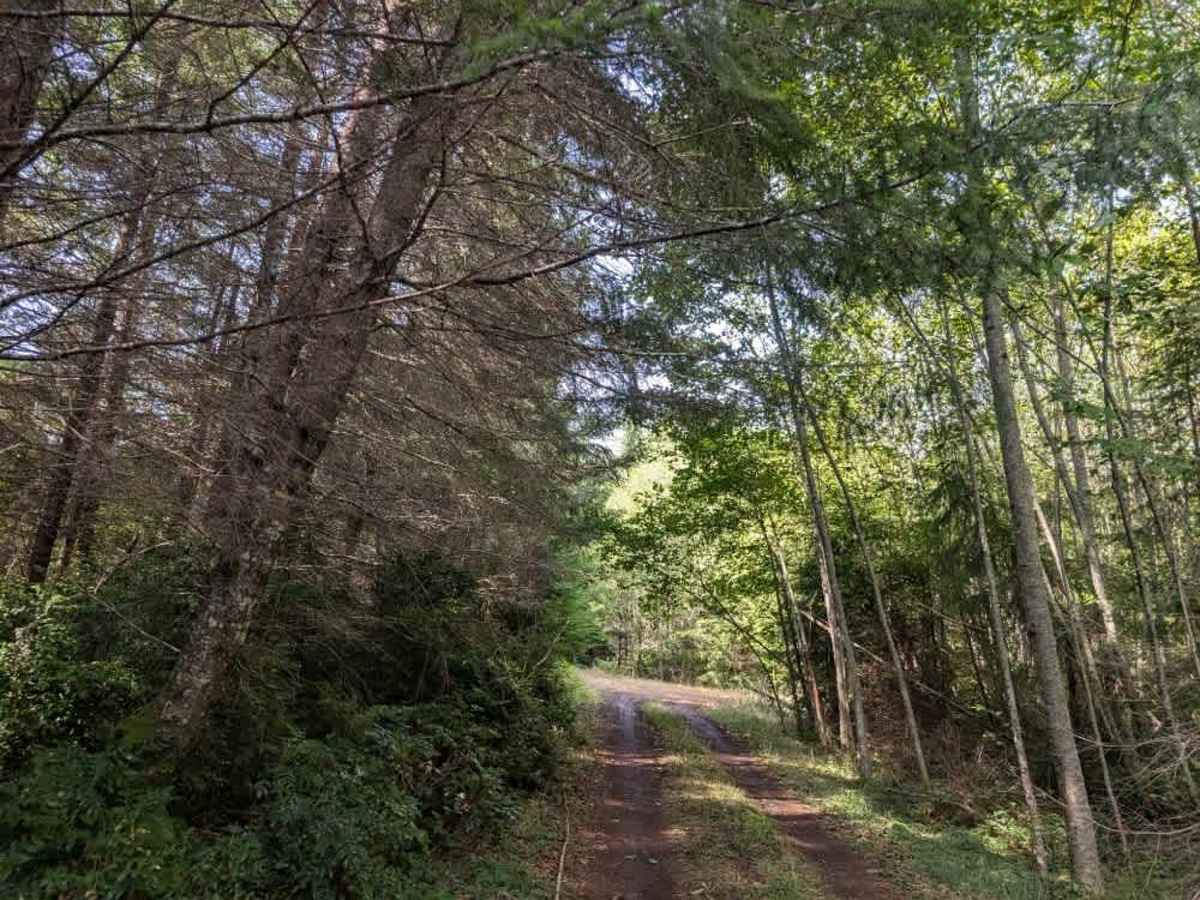
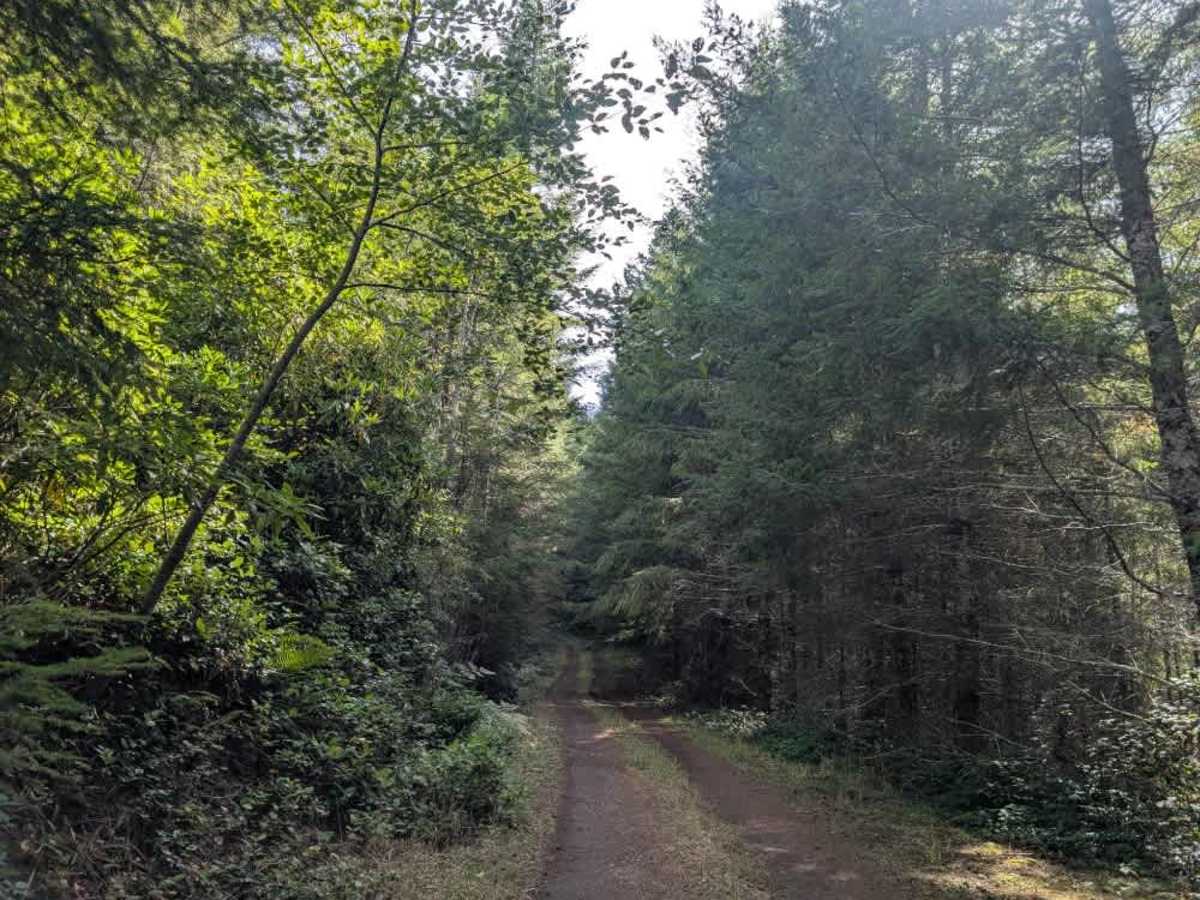
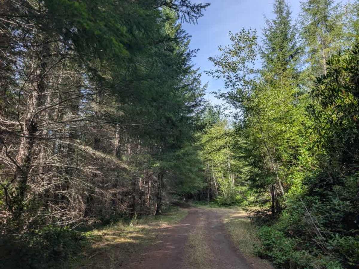
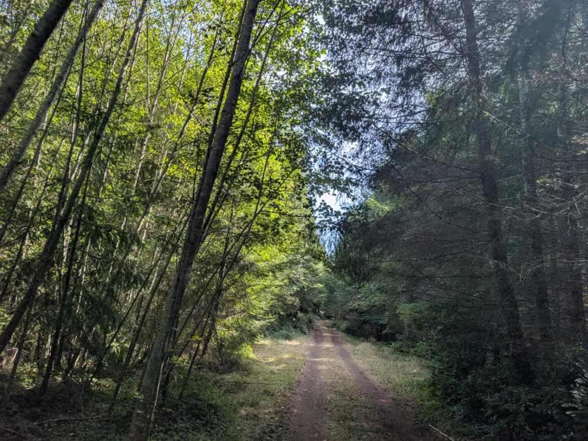
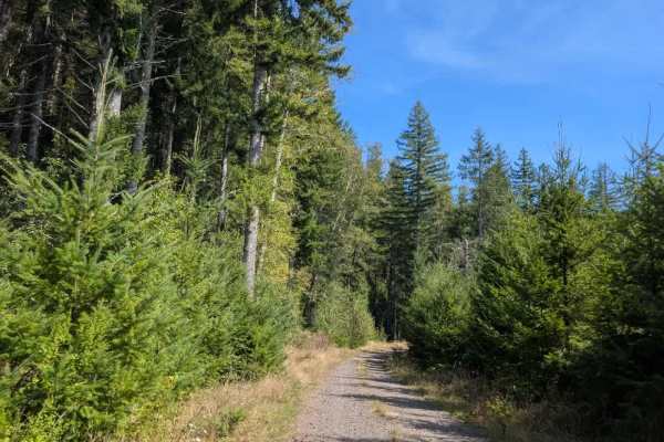
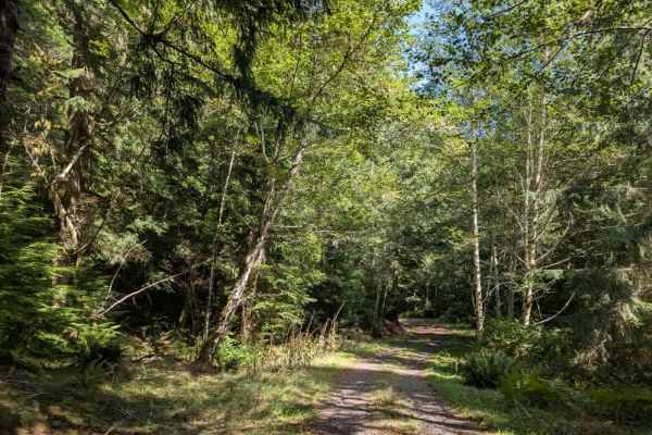
This gravel trail begins with a steady descent before becoming significantly steeper farther along the route. The descent is a bit difficult, and the muddy surface can become very slippery, so low range is advisable for both the descent and the climb back up. Although the forest is generally wet, it is not recommended to travel this trail after rain due to the increased risk of slippery conditions. At the bottom of the trail, several dispersed campsites are popular with hunters. The road then splits, with one campsite at the end of the route and another to the right. Due to the steep, muddy terrain, this trail is not suitable for sedans. High-clearance 4x4 vehicles, ATVs, and Side-by-Sides are recommended. Use extra caution on both the descent and return climb, particularly where the mud makes the road slippery. This area is open year-round on gravel roads. However, travel on dirt roads is restricted during wet conditions, which typically occur from October 1 through June 1. OHV use is prohibited where vegetation is present on the road during fire season, typically June through October. ATVs, UTVs, Side-by-Sides, and Dirt Bikes must always have a valid Oregon ATV Operating Permit sticker.