Trail Overview
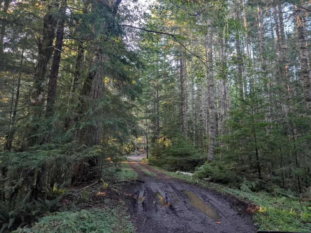
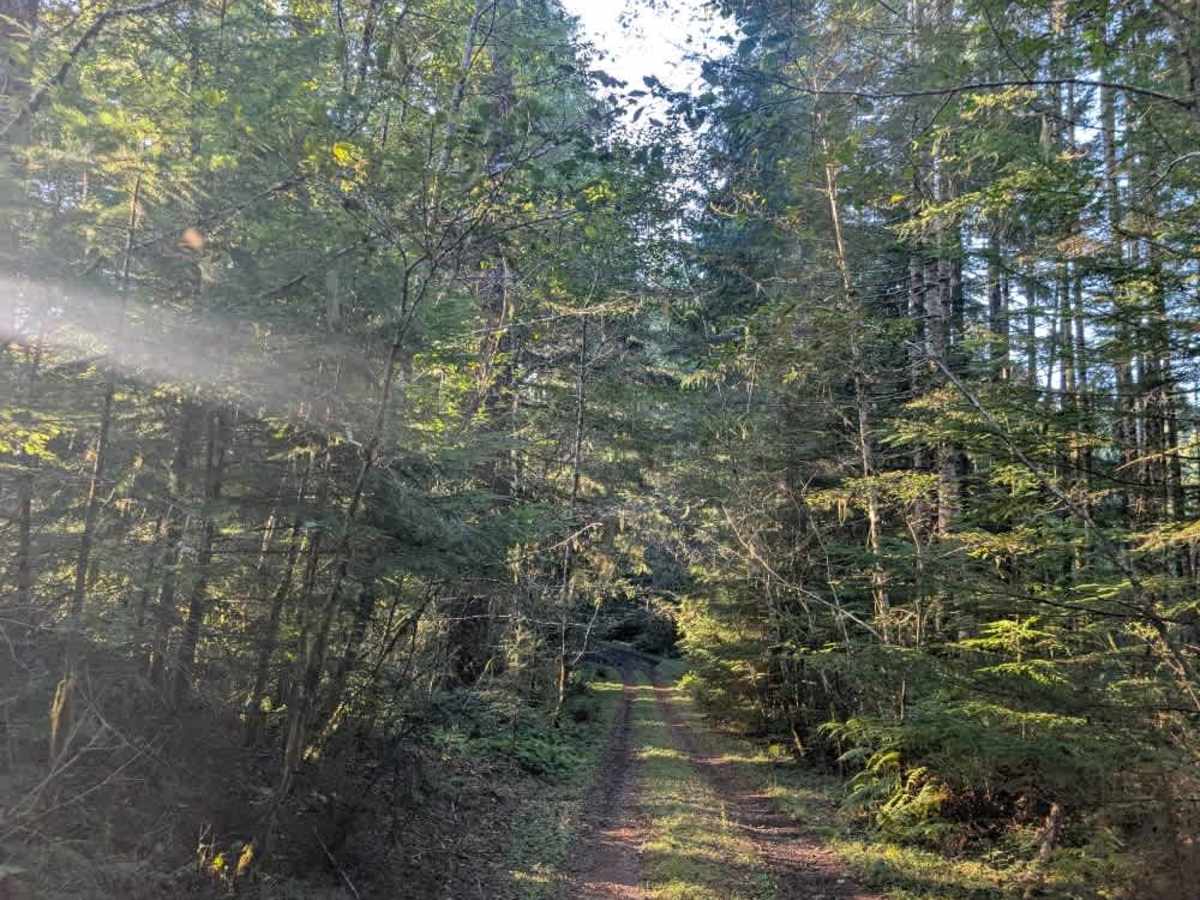
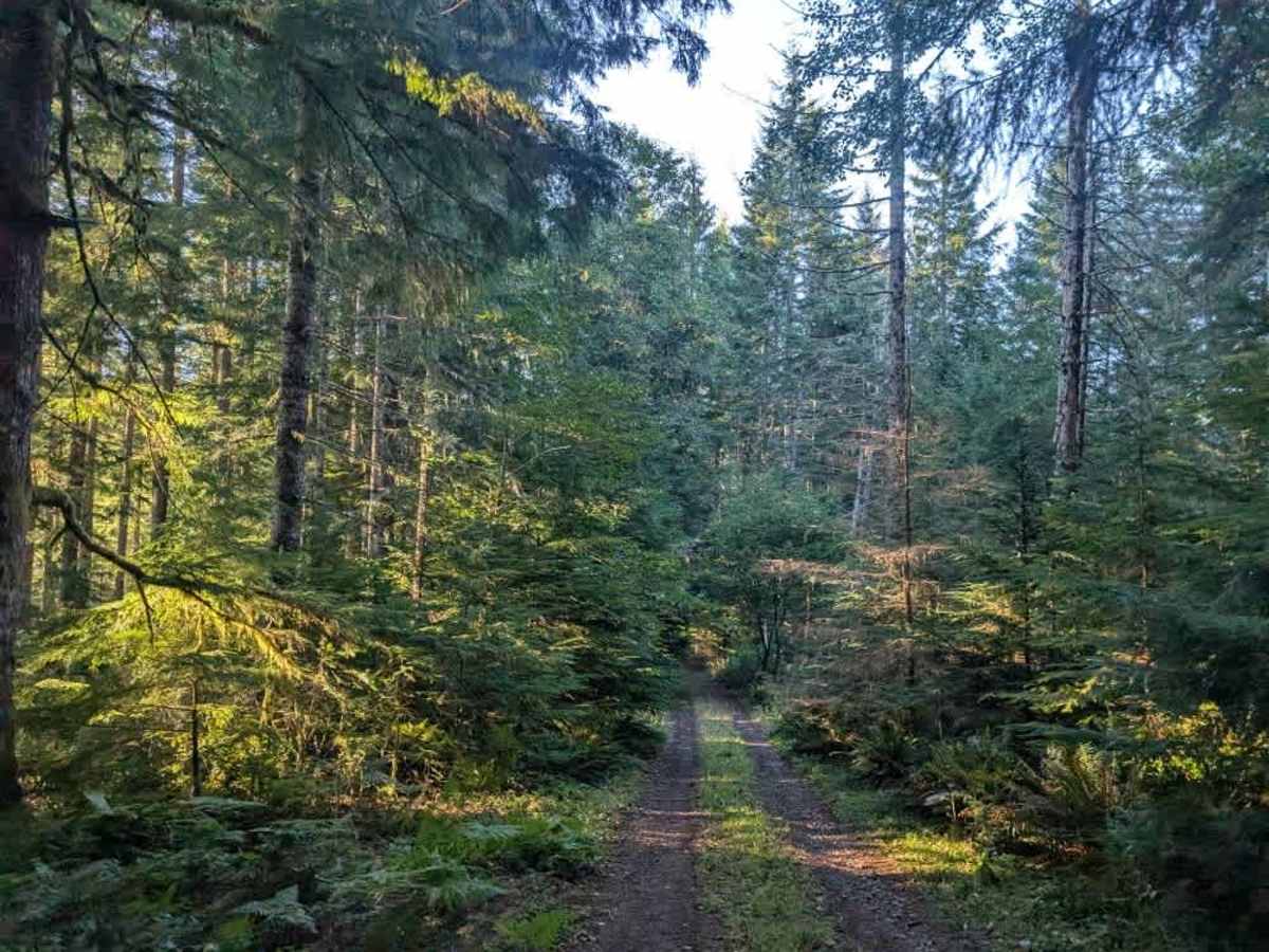
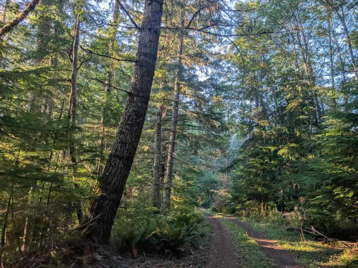
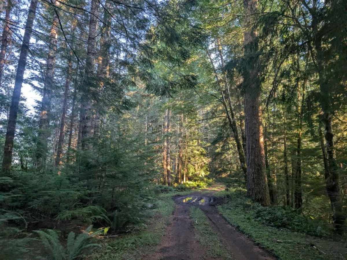
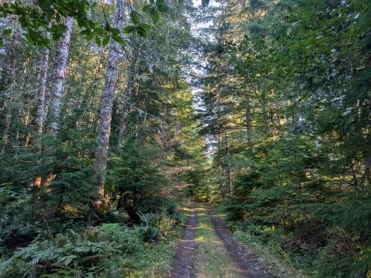
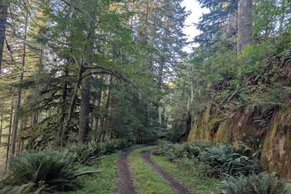
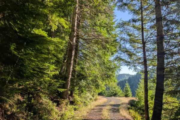
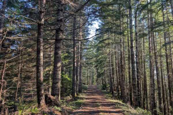
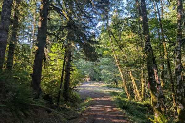
This short but beautiful trail leads to two dispersed camping areas. The first branches off to the right and overlooks a scenic ledge with a great viewpoint. The second continues to an open area, where elk were heard bugling during the visit. Gunshots were also heard shortly afterward, indicating that the area sees significant hunting activity. Although the trail is maintained, several mud pits and muddy ruts line the route. The road follows the edge of a mountain or hillside, with a steep drop-off alongside it, so use extra caution and maintain a controlled speed. Avoid this trail after excessive rainfall, when mud and slippery conditions can make the route more difficult and increase the risk near exposed edges. This area is open year-round on gravel roads. However, travel on dirt roads is restricted during wet conditions, which typically occur from October 1 through June 1. OHV use is prohibited where vegetation is present on the road during fire season, typically June through October. ATVs, UTVs, Side-by-Sides, and Dirt Bikes must always have a valid Oregon ATV Operating Permit sticker.