Trail Overview
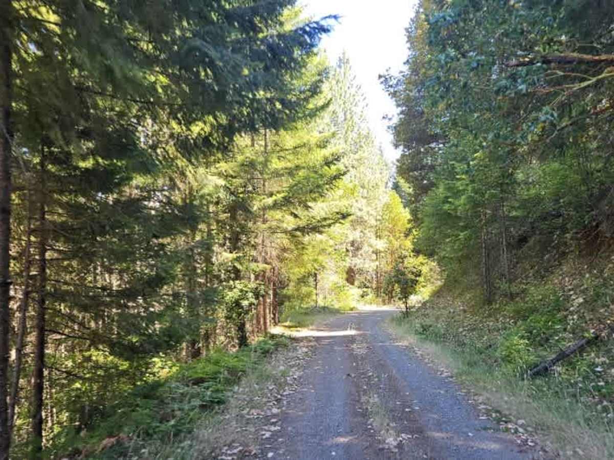
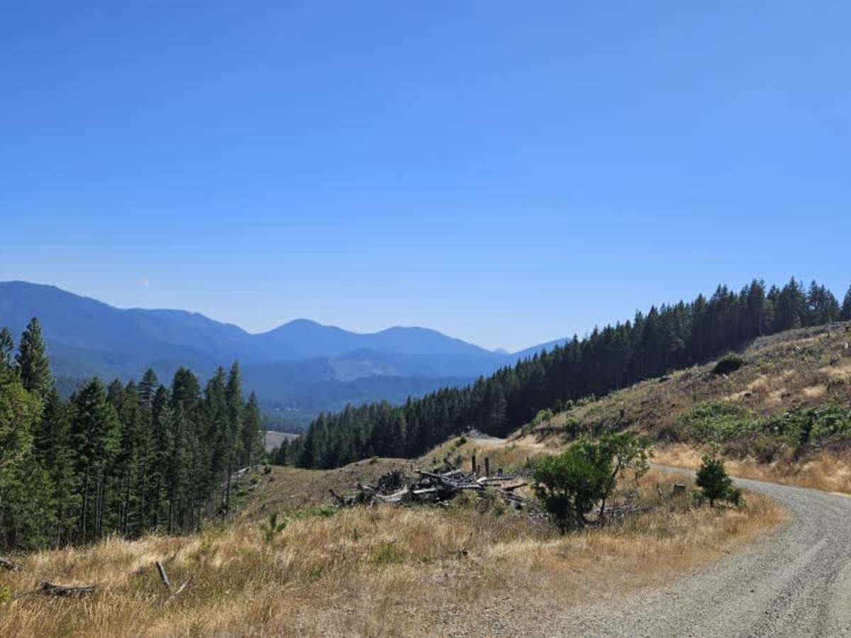
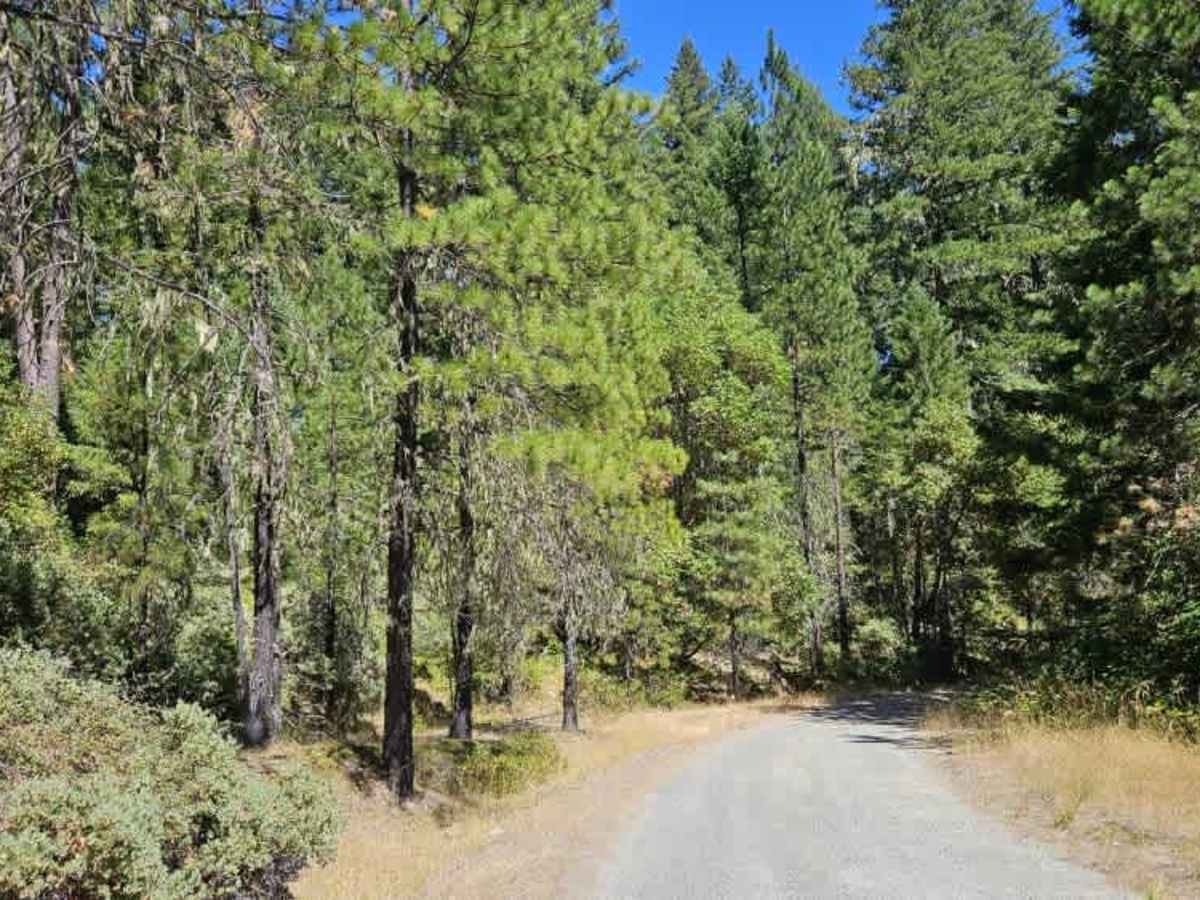
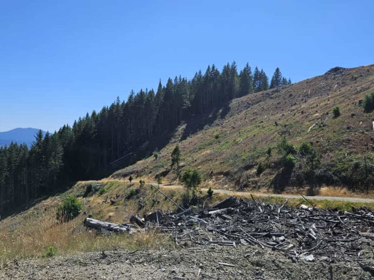
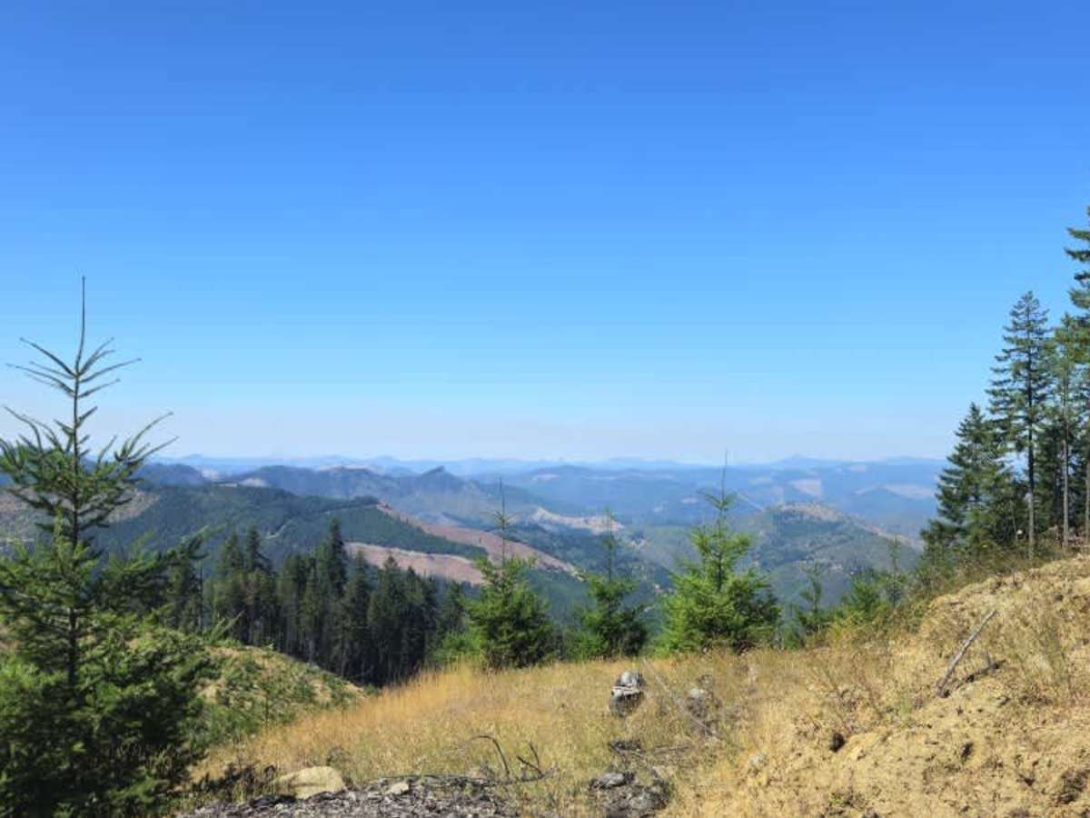
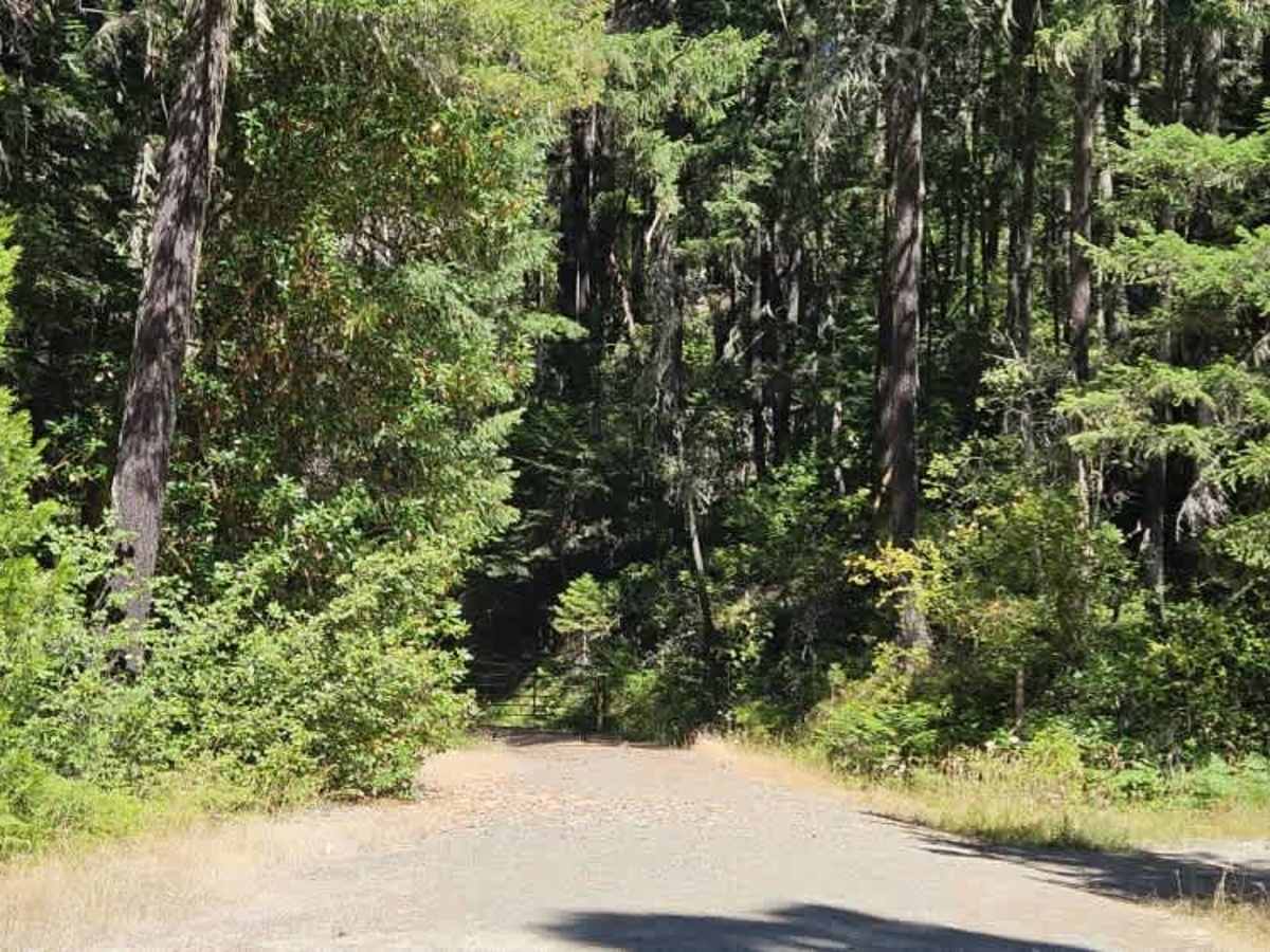
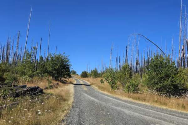
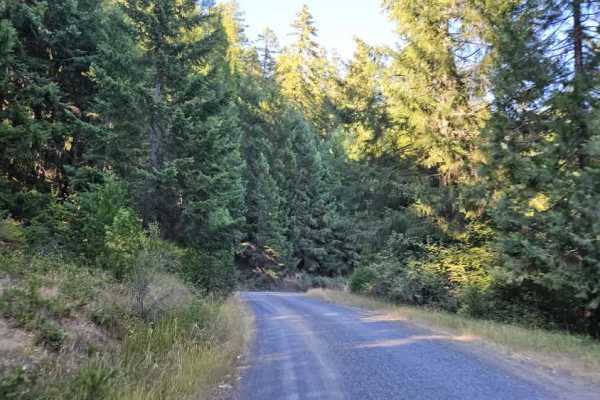
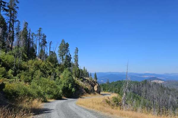
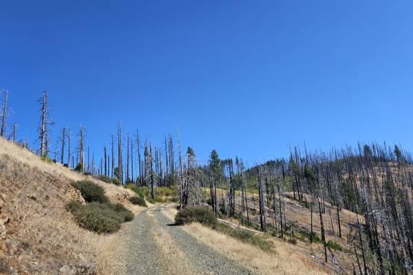
This well-maintained forest road climbs steadily into the mountains, following a winding, mostly single-lane route with occasional pullouts where vehicles can move aside for passing traffic. The road includes numerous switchbacks, sharp curves, and blind corners, so drivers should stay alert for oncoming vehicles, particularly where visibility is limited. Several potholes are present along the route, many of them in shaded areas where they can be difficult to spot until you are close to them. As the trail gains elevation, it reaches a high point along the mountain with impressive views across the surrounding valleys. The route continues toward private property and BLM land where permission is provided, but visitors should remain aware of property boundaries and access restrictions. A connecting section of the route has become heavily overgrown, and the National Forest advises against traveling through areas where tall vegetation could contact the vehicle’s undercarriage or exhaust system due to wildfire concerns. The overgrown section also appears to receive very little use. The trail ultimately reaches a locked National Forest gate and does not provide a through route beyond that point.
Difficulty
The surrounding mountain scenery makes this a beautiful drive, but the narrow road, steep terrain, blind corners, and changing access conditions require careful travel.