FS 3242051

Total Miles1.8
Technical Rating
1Easy
Best TimeSpring, Summer, Fall
Trail TypeFull-Width Road
Accessible By
Open Trail Map

Trail Overview

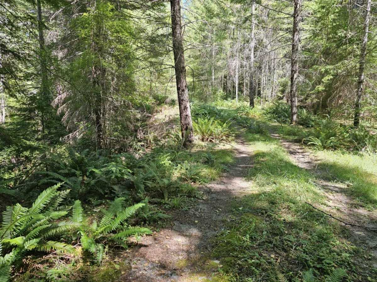
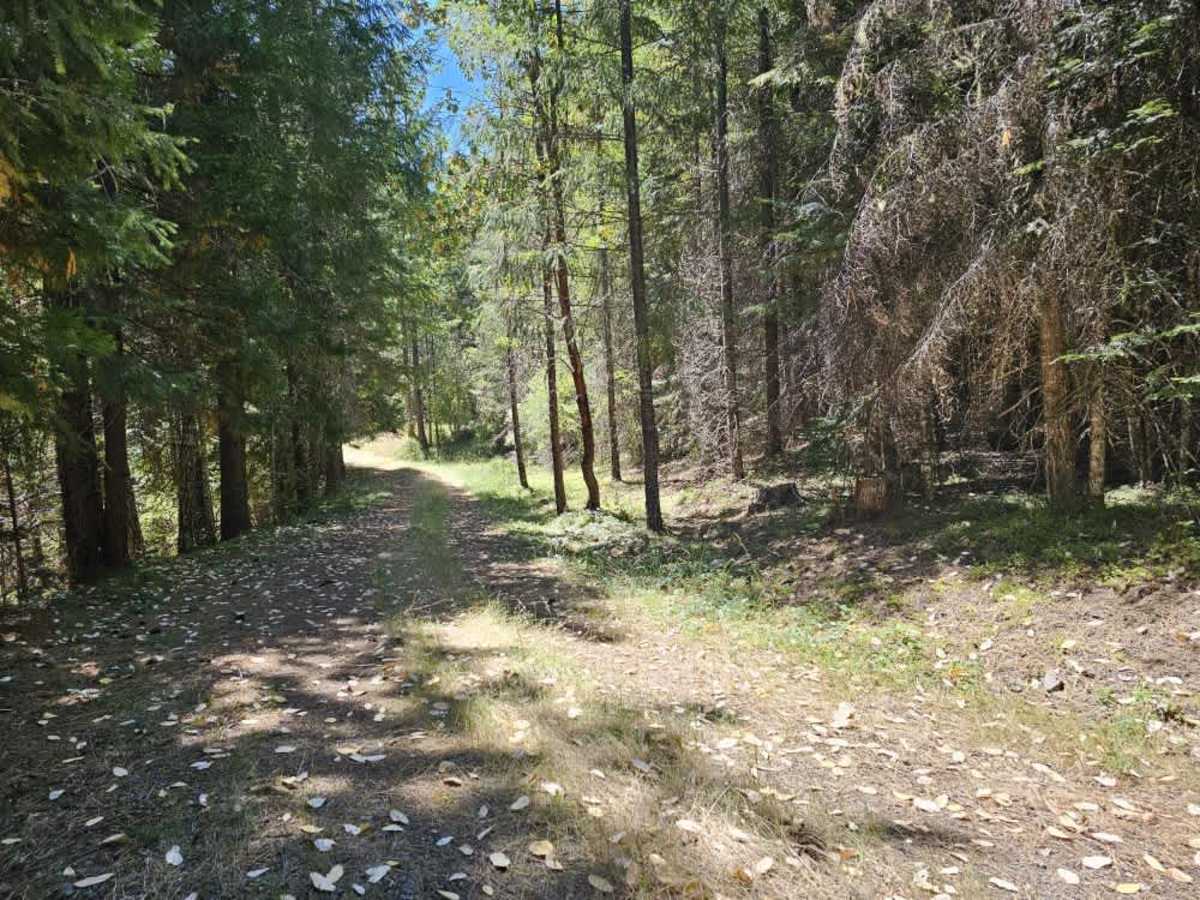
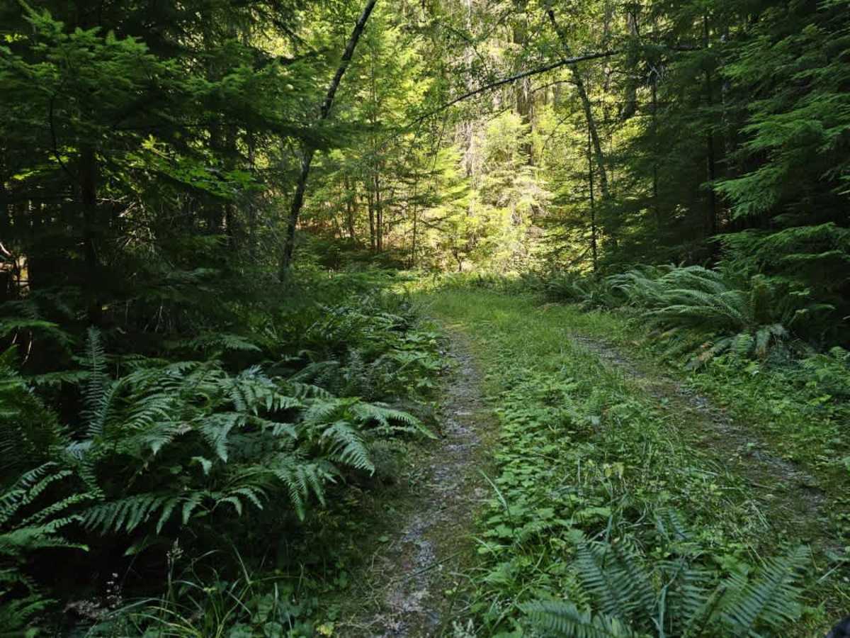
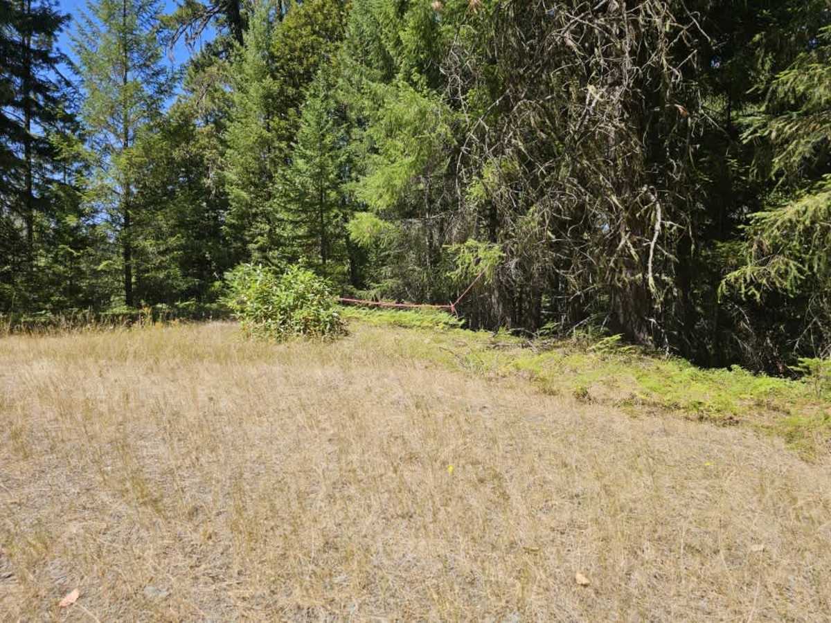
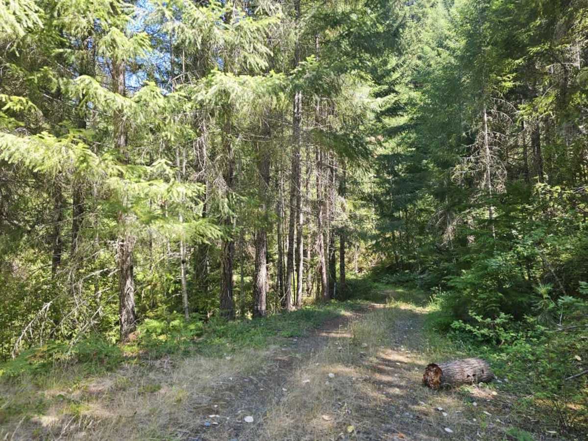
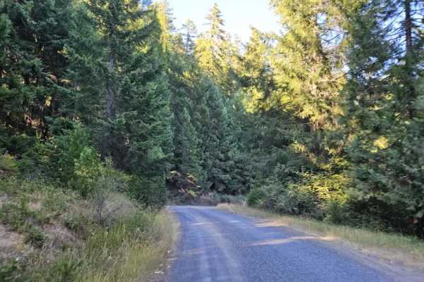
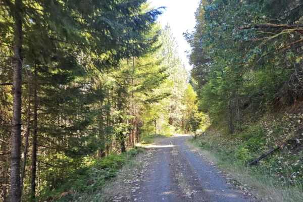
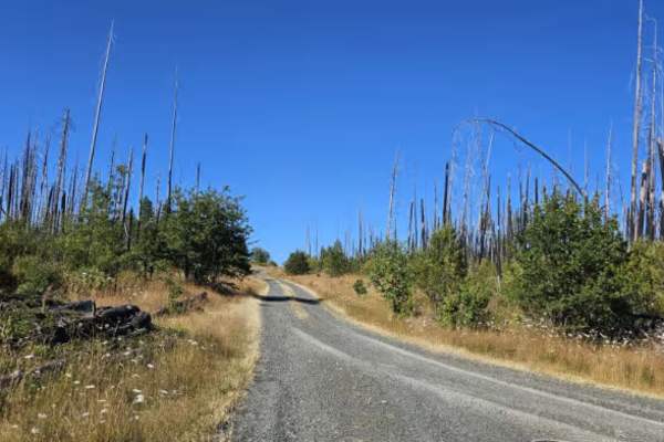
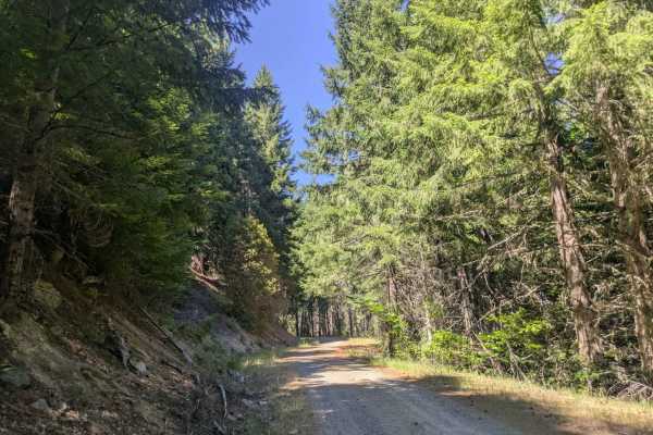
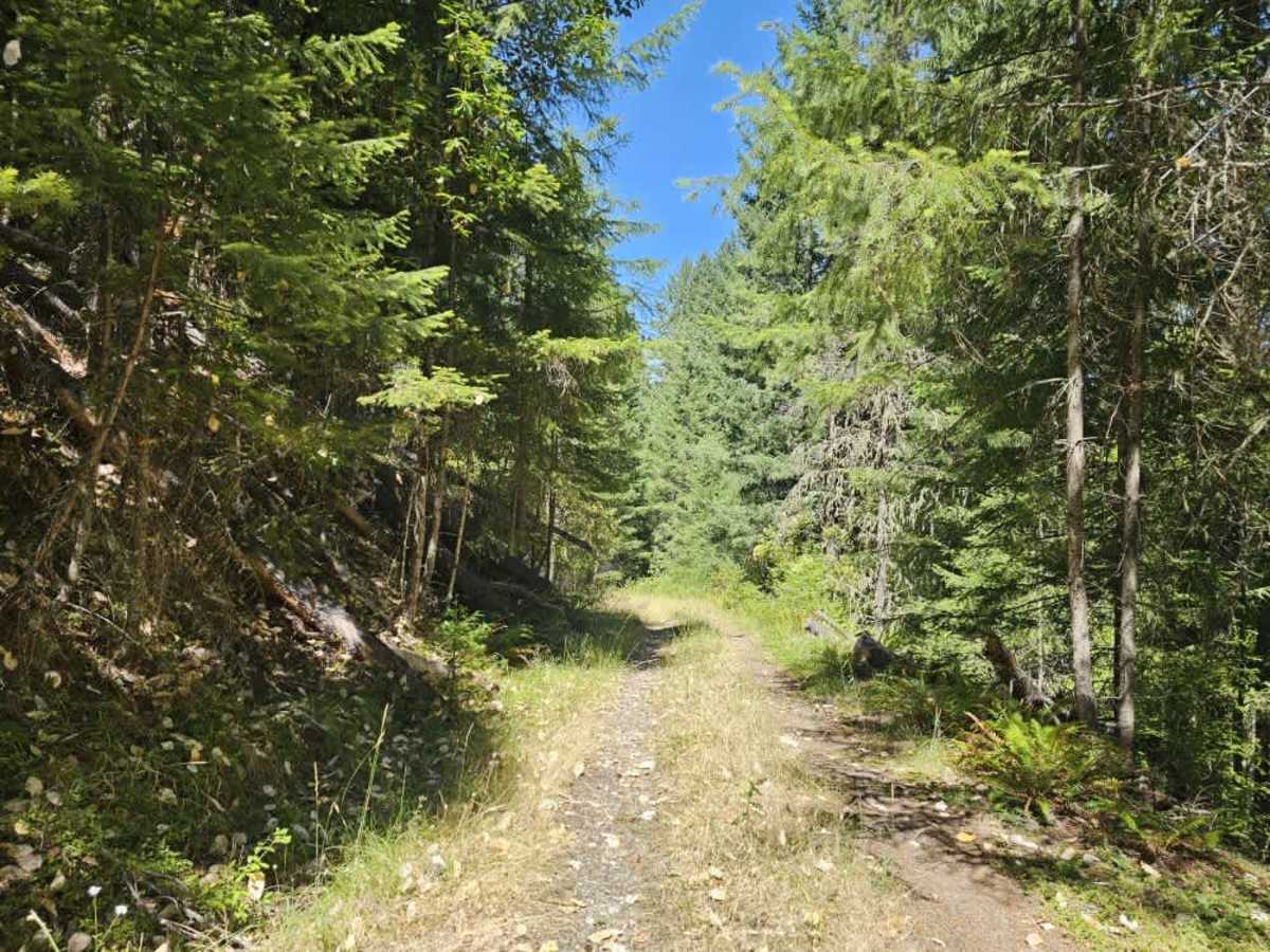
This peaceful mountain trail branches from the main route and climbs steadily through beautiful forest on a gray gravel surface covered with a soft layer of pine needles. The trail features several moderately steep ascents and descents, along with a handful of sharper corners that require reduced speeds. Although generally smooth and easy to follow, the route offers a few cleared pull-offs that provide convenient places to stop or turn around. Logging ribbons are present throughout the area, indicating that future logging activity is likely, so please watch out for any logging vehicles/traffic. The surrounding forest is quiet and scenic, making for an enjoyable drive through the mountains. There are no facilities or reliable cell service available along the route, so visitors should plan accordingly before setting out. This route is subject to Seasonal Designation. Please check local regulations and current conditions before traveling. ATVs, UTVs, Side-by-Sides, and Dirt Bikes must always have a valid Oregon ATV Operating Permit sticker.

Photos of FS 3242051

Difficulty

The trail remains easy to follow, with moderate ascents and descents providing the only notable challenges.

Technical Rating

1

FS 3242051 Trail can be accessed by the following ride types:

  • Single Track
  • 50 Inch
  • 60 Inch
  • High Clearance
  • Full Width

FS 3242051 Map

The onX Offroad Difference

onX Offroad combines trail photos, descriptions, difficulty ratings, width restrictions, seasonality, and more in a user-friendly interface. Available on all devices, with offline access and full compatibility with CarPlay and Android Auto. Discover what you're missing today!

Open Trail Map