Trail Overview
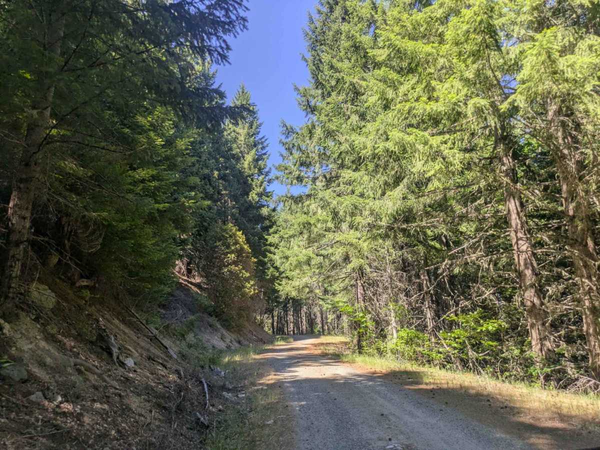
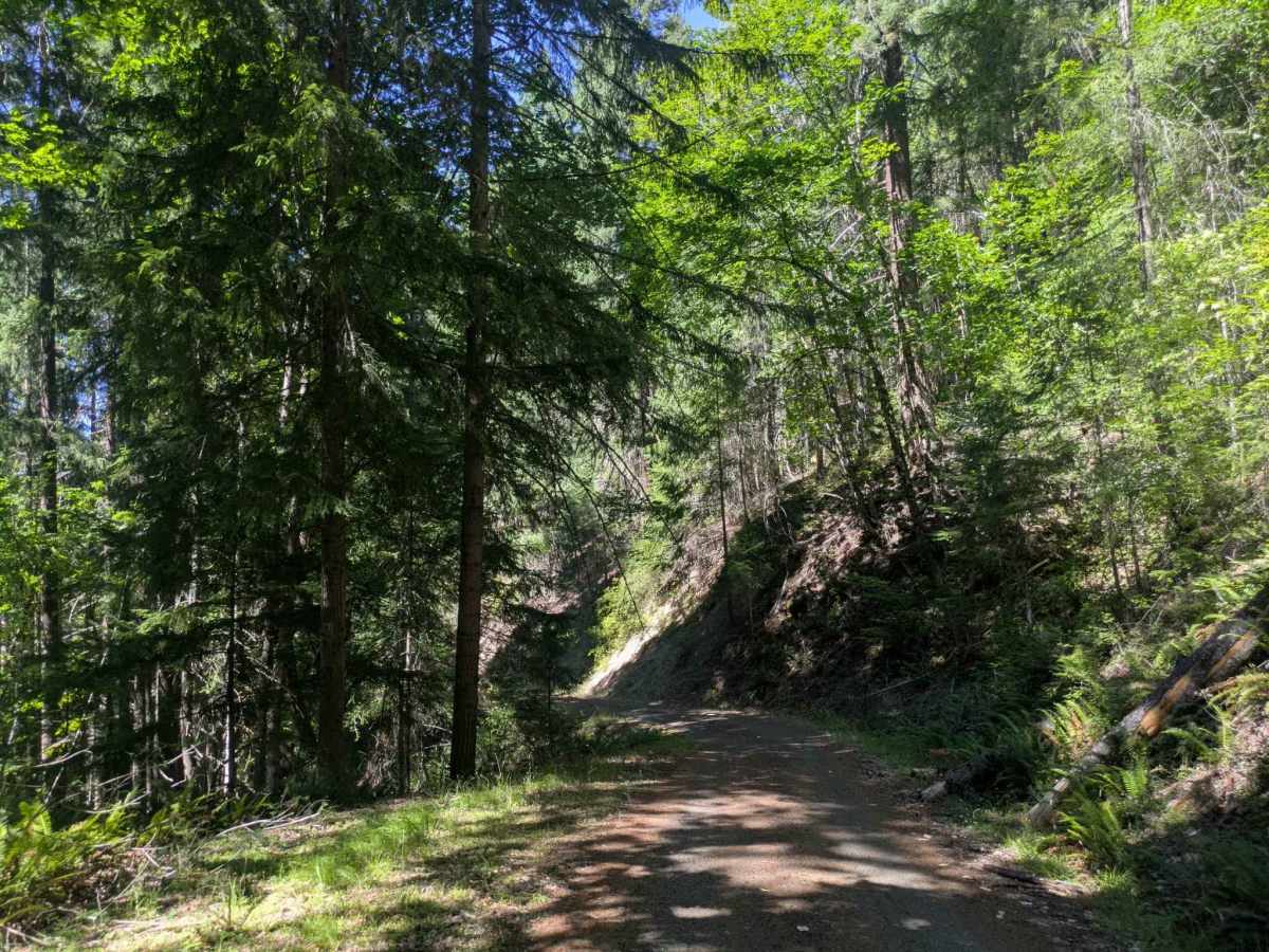
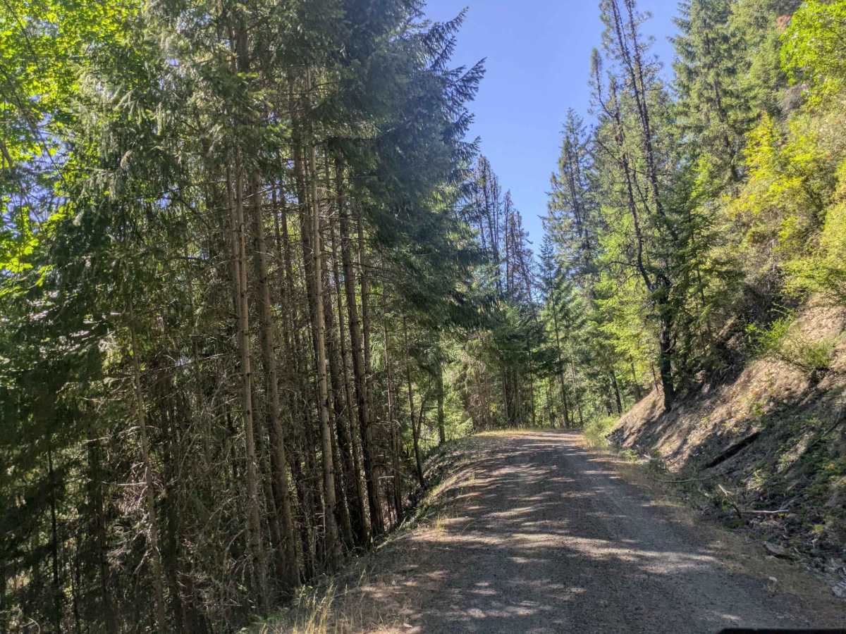
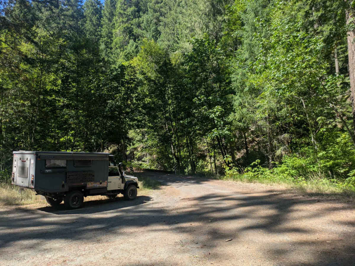
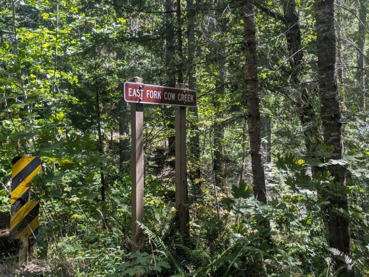
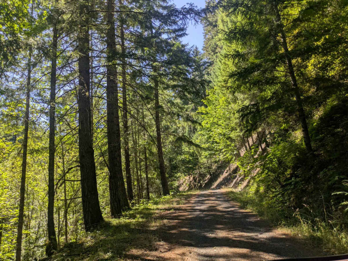
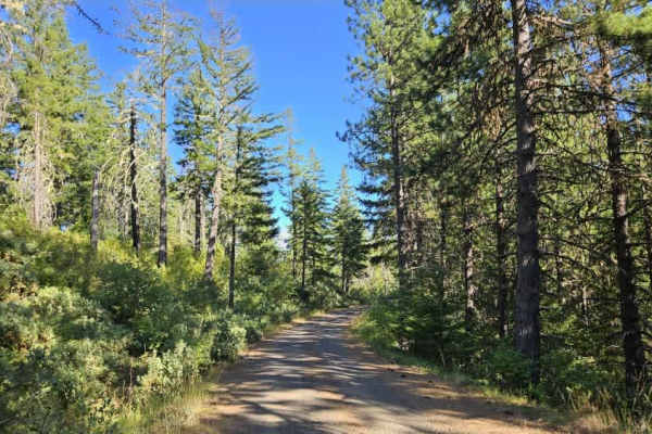
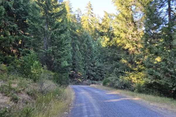
This well-maintained gravel road connects to Cow Creek Trail and is mostly a narrow, single-lane route with frequent curves and switchbacks. Large potholes are common, especially in shaded sections, and dips and corrugation also require slower speeds. From the Cow Creek side, the road begins with a steady descent before reaching a flatter section with a parking clearing, where the route splits in three directions. Beyond this point, the trail continues through beautiful forest but becomes tighter, with several sections lacking barriers along steep drop-offs. Drivers should use extra caution around blind corners and oncoming traffic, as there are limited opportunities to pass. When coming from the south, the road climbs steadily and becomes steeper and more corrugated farther up. Trailers should use low range and engine braking on the steeper descents, and do allow brakes to cool when needed. Keep an eye out for wildlife, including hares, along the route.
Difficulty
The road provides a beautiful forest drive, but the combination of narrow sections, steep drop-offs, switchbacks, and potholes makes careful driving important.