Trail Overview
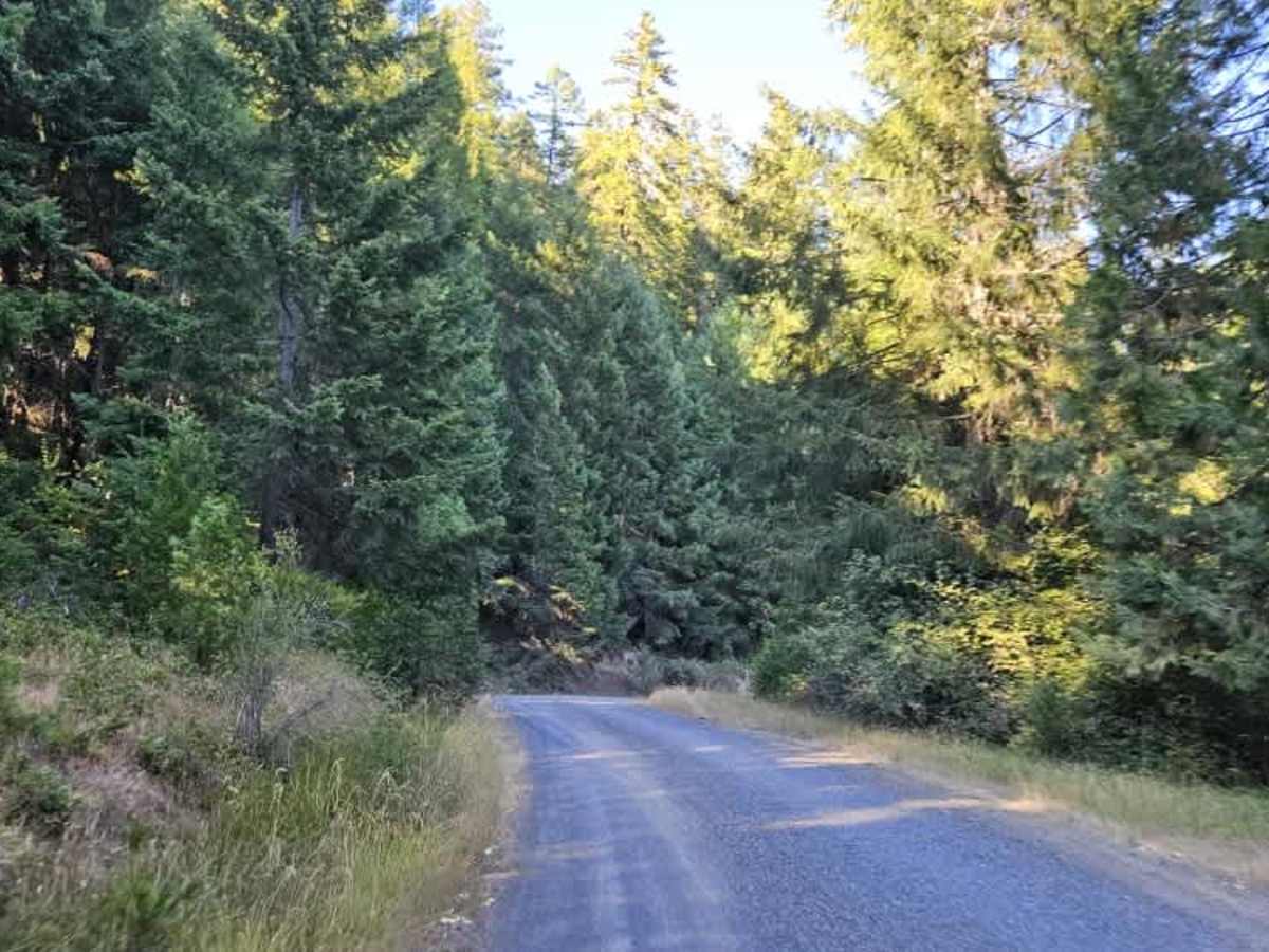
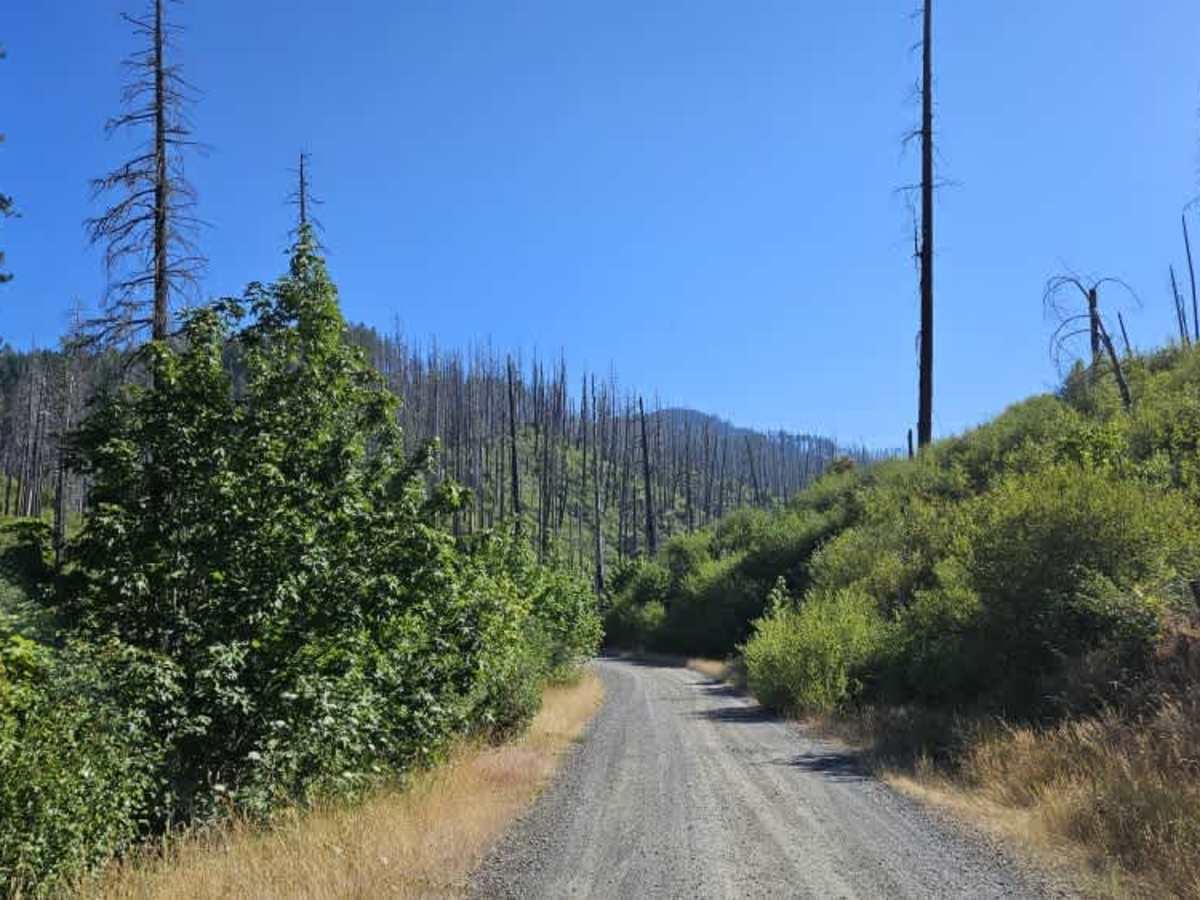
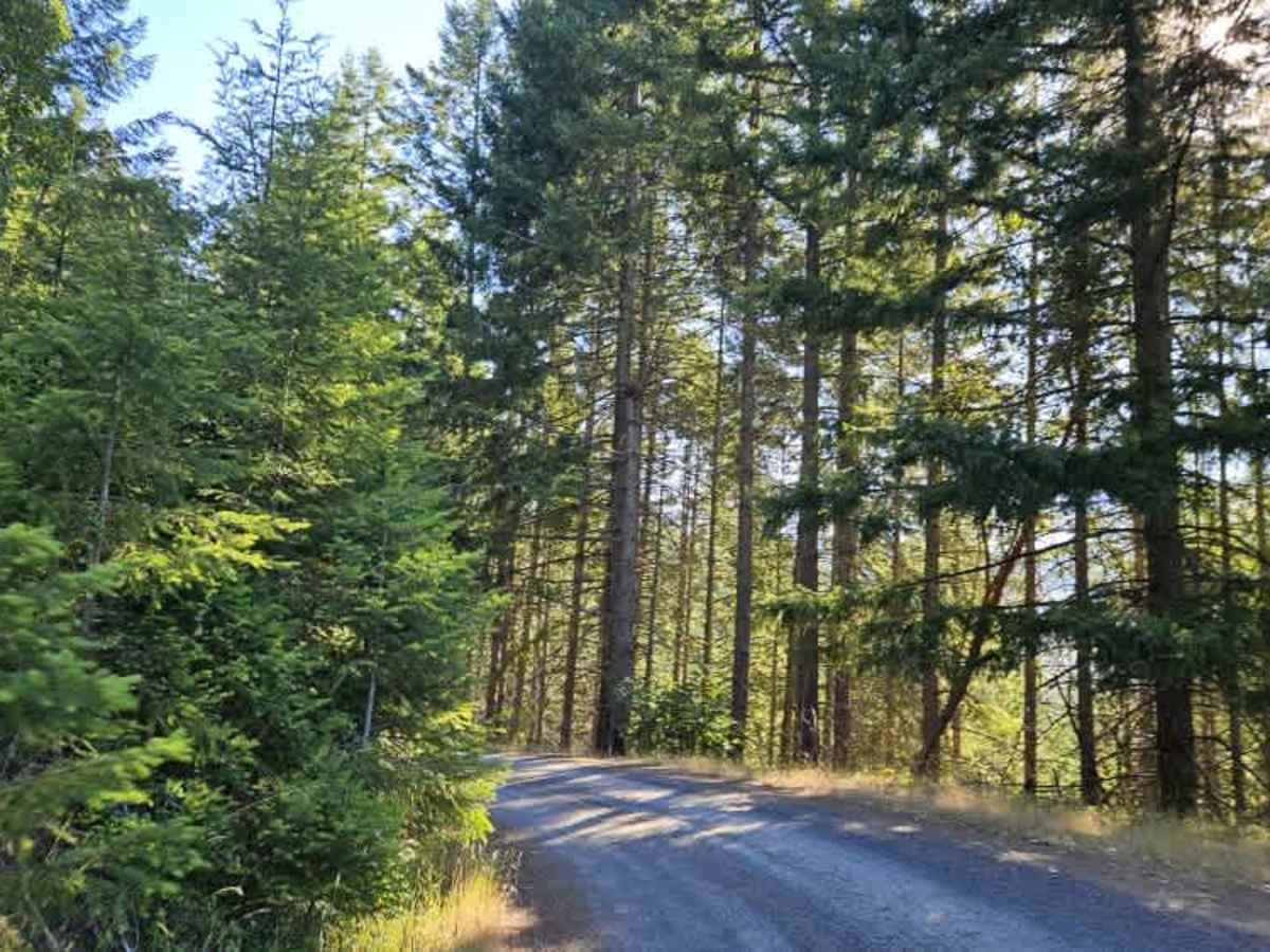
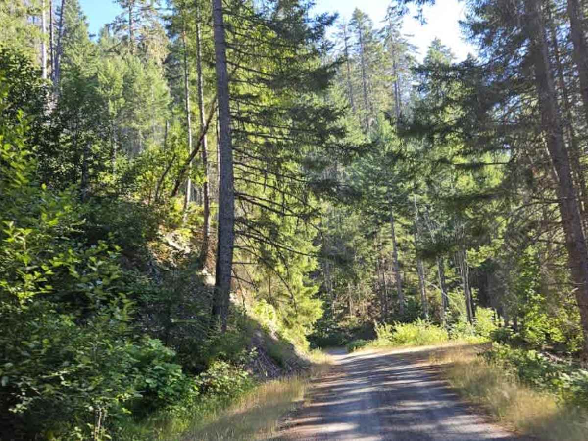
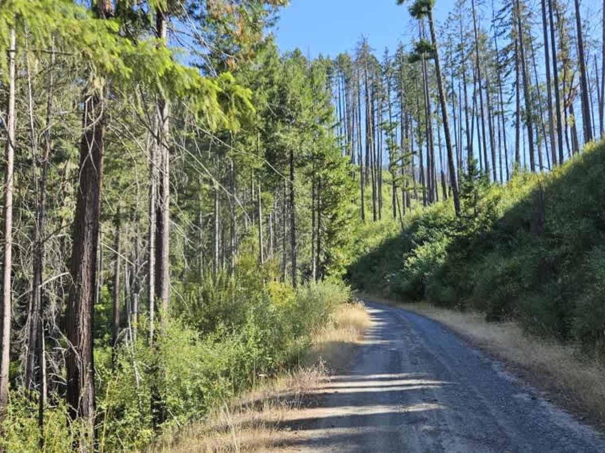
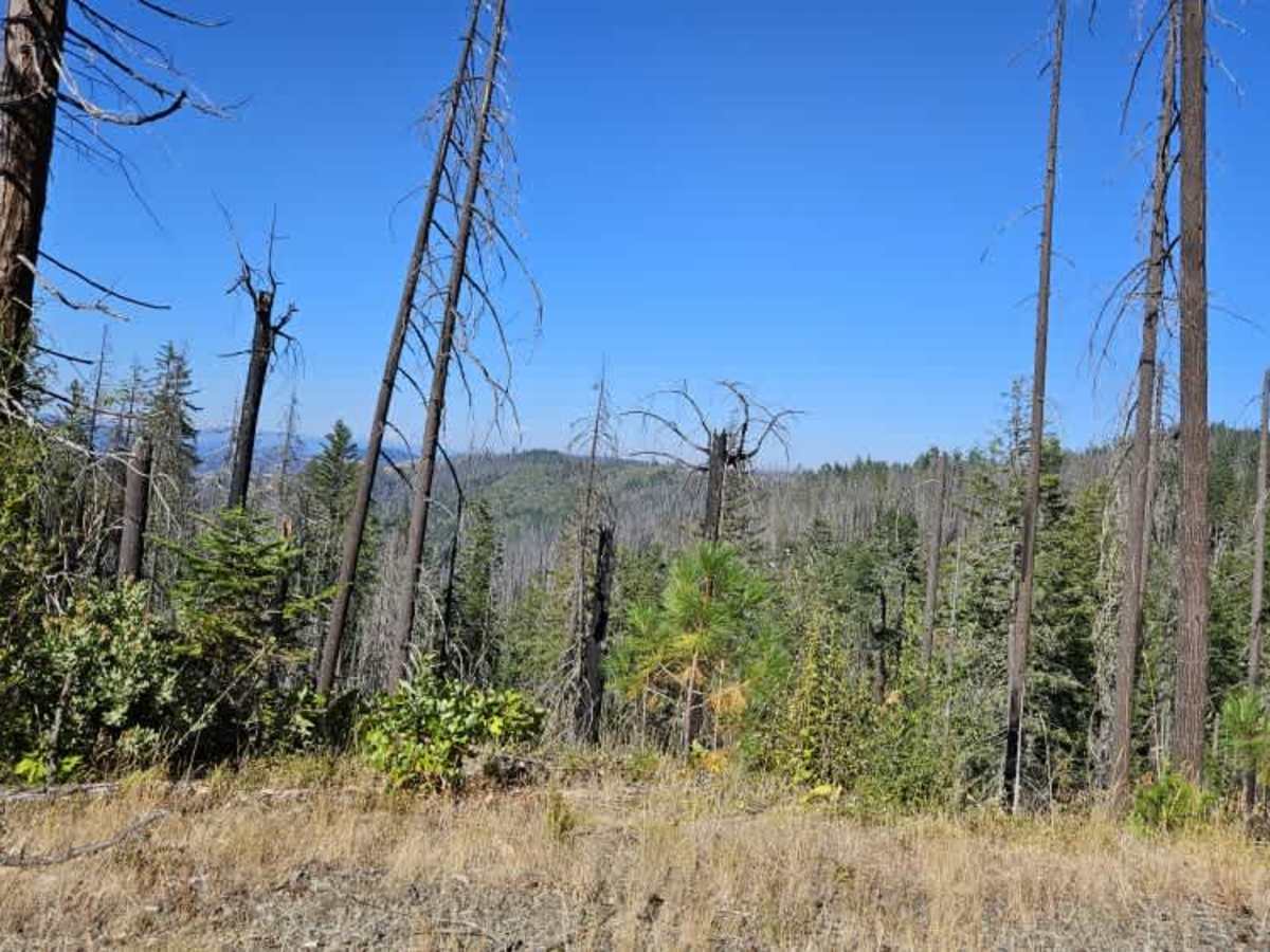
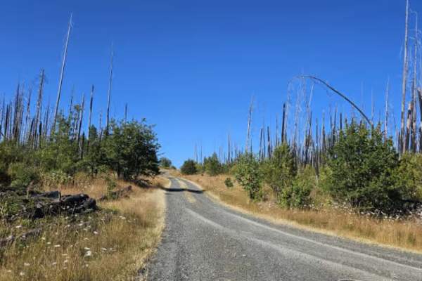
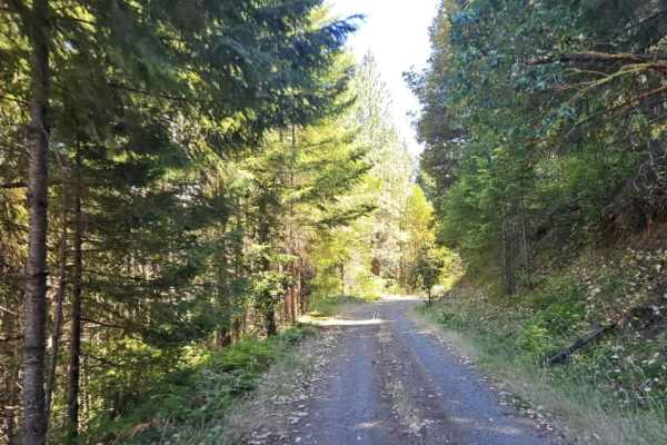
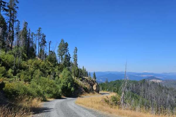
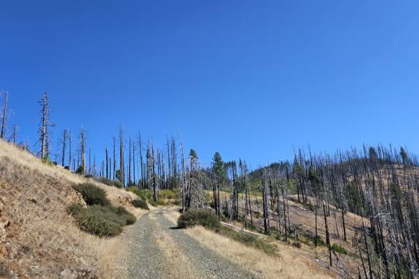
This section of Callahan Creek is a beautiful, well-maintained gravel route that winds through forest, burned areas, and mountainous terrain. The road begins in the forest and climbs before descending through a wildfire-affected area. As it continues through the burned landscape, remnants of a major storm can also be seen. The route eventually reaches a bridge that was paved following significant storm damage, providing a smoother crossing before the road climbs away from the river and returns to gravel. As the road climbs out of the burned area and back into the forest, some corrugation develops along the uphill sections. Once back among the trees, drivers should watch for potholes scattered across the road. The route continues winding through the forest and mountains, with a mix of gradual climbs and descents. Toward the eastern end of this section, the road gradually widens. It is no longer as restricted to a single lane, with enough room in most places for two vehicles to pass. The surface also becomes smoother, with the corrugation largely disappearing.