Trail Overview
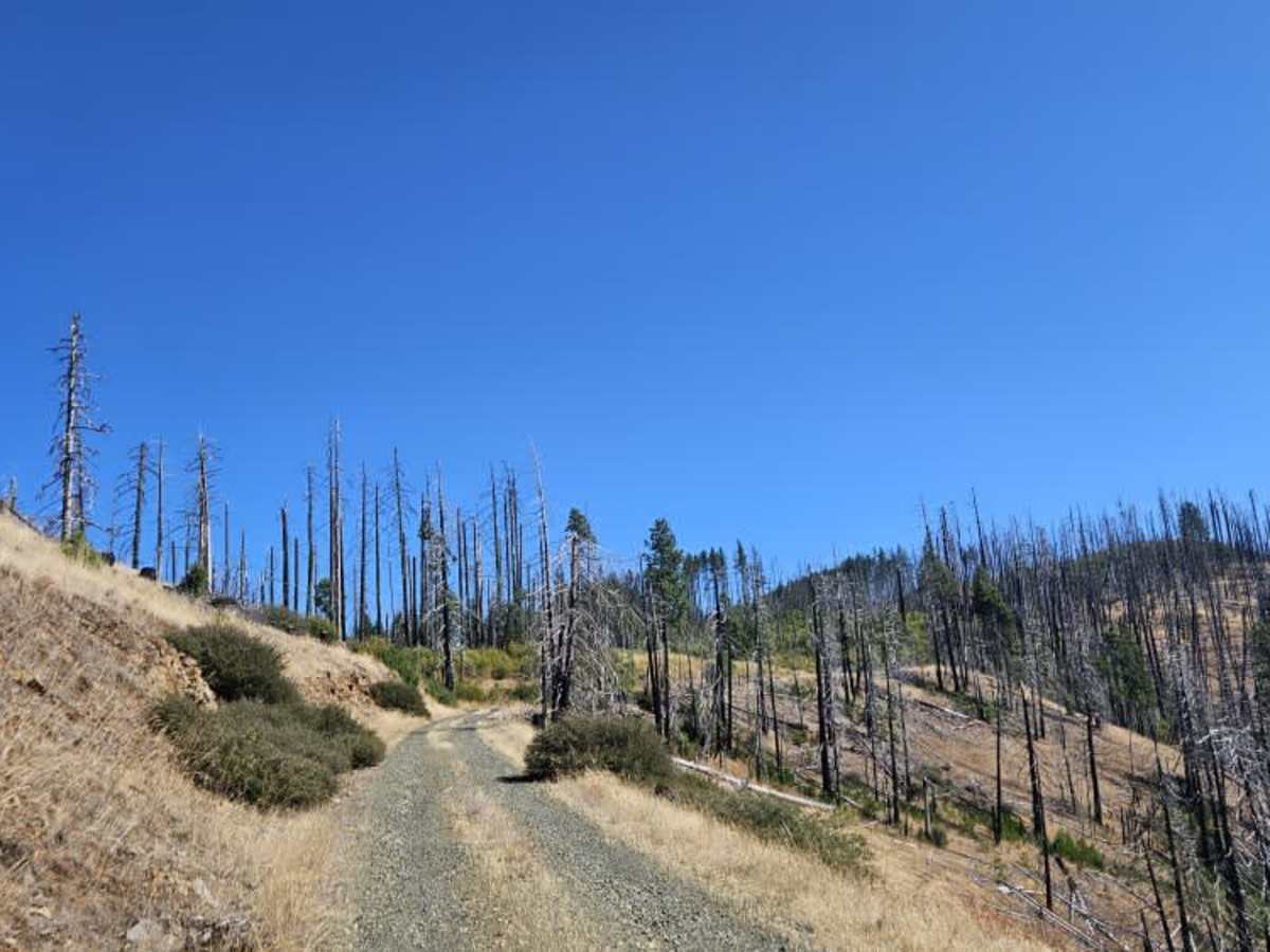
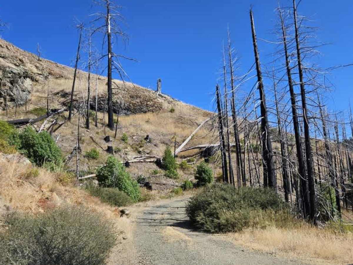
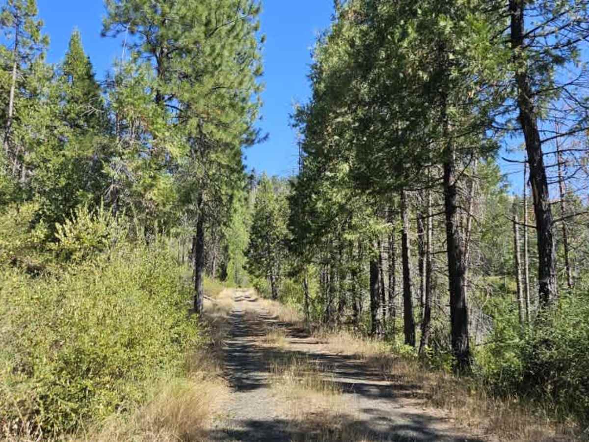
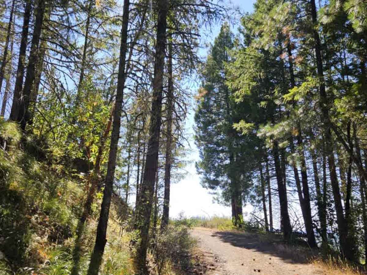
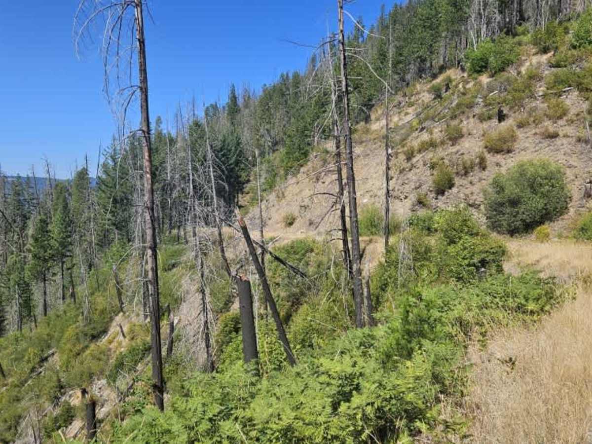
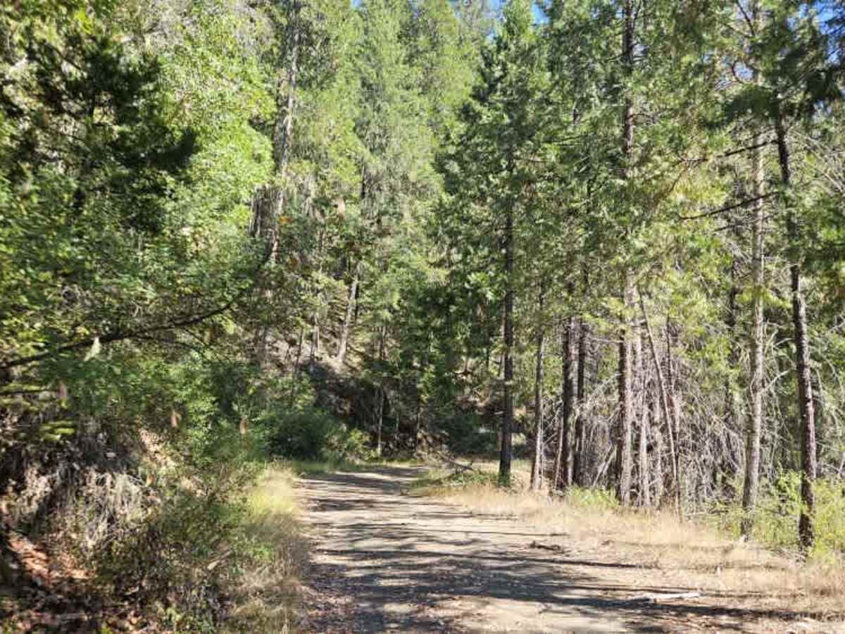
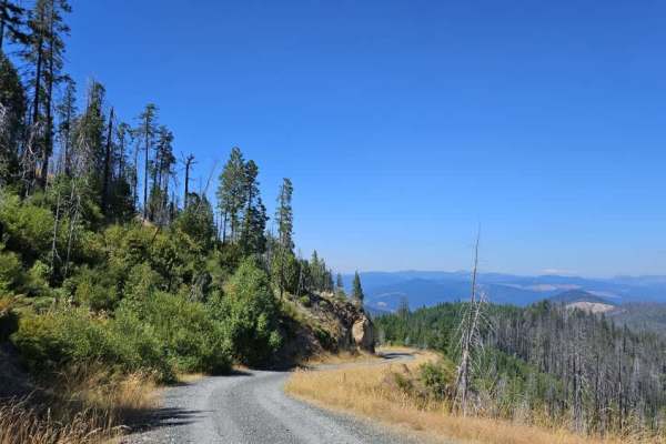
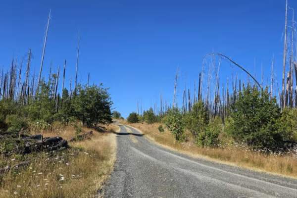
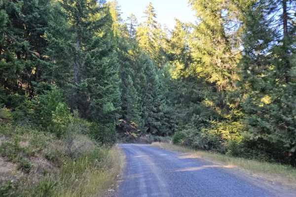
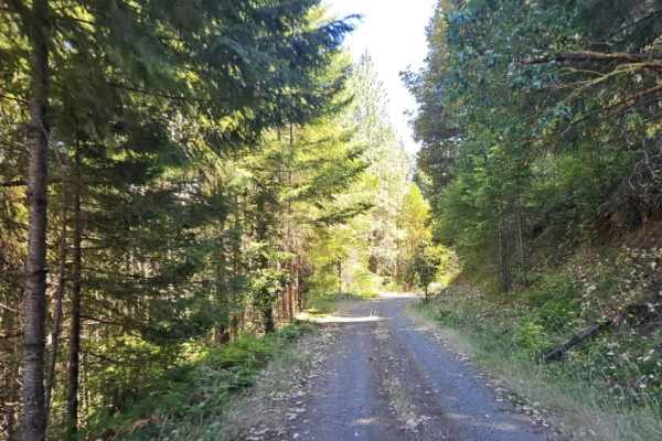
This trail begins as a well-maintained gravel road and is relatively easy to follow through the first section. Conditions change at a major split, where the road to the right leads toward the 320 and includes a steep descent. Continuing on this route, the trail becomes narrower and more rugged, with single-lane sections and noticeably less maintenance. Fallen trees may obstruct the road, so carrying a chainsaw is recommended in case additional clearing is needed. There is also a wet section where water runs down the mountain and across the trail. This could become considerably more difficult during the rainy or winter months, when the surface may be saturated or slippery. Drivers should also watch for the steep drop-off along the edge of the road, as there are sections without much room for error. Some areas require higher ground clearance, and pinstriping is likely where vegetation closes in around the trail. The route eventually reaches a beautiful primitive campsite at the end of the trail. Because this is a one-way-in, one-way-out route, be sure to check current fire restrictions and other seasonal regulations before traveling.
Difficulty
Overall, this is a scenic but increasingly rough forest trail that becomes more challenging after the main junction due to the narrow sections, steep drop-offs, fallen trees, vegetation, and wet terrain.