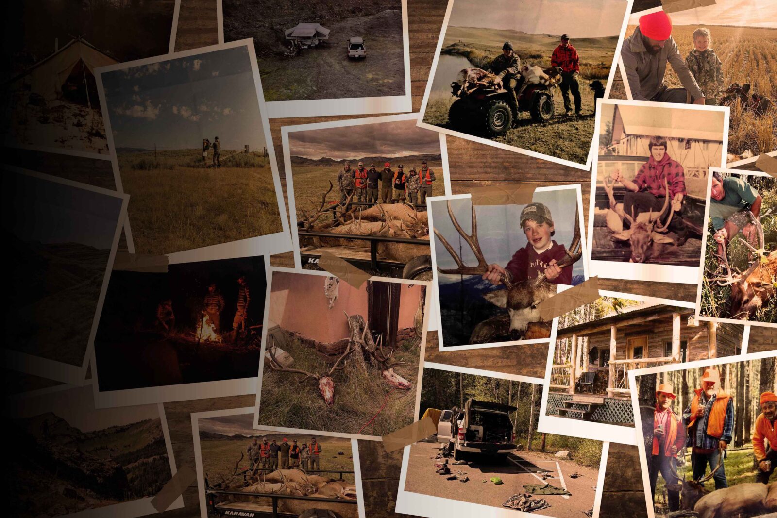
Home to bountiful public land, fewer than 600,000 residents, and productive hunting for sought-after western big game species, Wyoming is on most hunters’ bucket lists. Whether you’re after mule deer, elk, moose, bighorn sheep, mountain goat, or antelope, Wyoming is a state worth building points in as a hunter.
What’s New in Wyoming’s Draw for 2026
At the April 22, 2026, commission meeting, the Wyoming Game & Fish Department (WGFD) made the following changes to 2026-27 hunting seasons:
Antelope
- The 2022-23 winterkill is still fresh on people’s minds, but the herds are recovering, and more opportunity is being restored.
- Approved a net increase of 2,650 licenses statewide. The Laramie region saw the largest increase, with 400 any-antelope licenses and 625 doe/fawn licenses added.
- Lander Region: Area 62 goes back to the split type 1/type 2 structure from 2022, where type 2 licenses are restricted to the eastern portion of the hunt area.
Deer
Wyoming Range
- For general licenses in hunt areas 138, 139, 140, 142, 143, 144, 145, 149–156:
- Season dates are now Sept 15 – Oct 2.
- 4-point-or-better antler point restriction stays in place.
- Area 130’s general license season is Oct 1-6 with the 4-point-or-better antler point restriction in place.
- Region H non-resident licenses stay at 350.
- Region B non-resident licenses dropped from 800 to 700.
- Region 146 was dissolved, and regions F, H, and L experienced boundary changes.
Lander Region
- Created a brand new license type in area 87: A type 2 for 3-point-or-less bucks (25 licenses). It’s a novel concept designed for older low-antlered bucks in a herd with chronically high buck ratios.
Sheridan Region
- New general any-whitetail season in hunt area 21.
- New 15-day general whitetail season in hunt area 18.
- Antler point restrictions continuing in select mule deer areas for one more year.
Casper Region
- Area 65 opener shifts from October 15 to October 20, running through October 31 (to better align with neighboring areas).
- Black Hills general license now valid for any whitetail deer on private land (previously more restricted).
Cody Region
- Some whitetail license reductions due to EHD outbreaks last year, particularly area 127 type 8—cut from 100 to 50.
- Area 130 doe/fawn licenses (type 7) eliminated.
Elk
- Grand Teton hunt area 75: 40 more permits added (20 type 4, 20 type 6). Season runs November 14–December 6. Area 79 stays closed.
- Hunt areas 84 and 85 (Jackson region): Season dates remain what they were in 2025.
- Hunt areas 89–91: The full month of September for special archery seasons remains.
- Sheridan Region Area 38: Back to 400 any-bull licenses. It was cut to 100 in 2025 because of wildfire-related carryovers. That situation has been resolved, so it’s back to normal.
- Lander Region: Biggest overall license increase of any region.
- In terms of type 9 archery-only licenses, no changes were made, but the department plans to conduct a statewide archery survey before next year’s season-setting.
For more details on Wyoming’s application processes, go a layer deeper with Huntin’ Fool in the below Masterclass.
Looking for more? Huntin’ Fool’s Wyoming page is a thorough, updated resource for ongoing Wyoming draw changes. Hunters should also review the 2026 Wyoming Game and Fish Department Hunting Licence Information booklet.
![]()
Your Complete System for Securing Tags
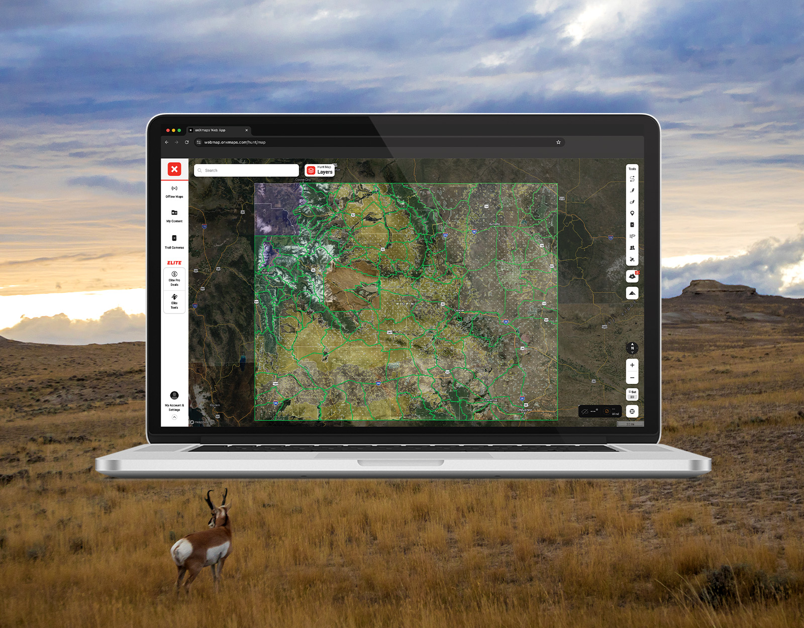
Whether you’re chasing a once-in-a-lifetime hunt or just looking to fill the freezer, your season starts with onX Hunt’s application tools—all included with an Elite Membership:
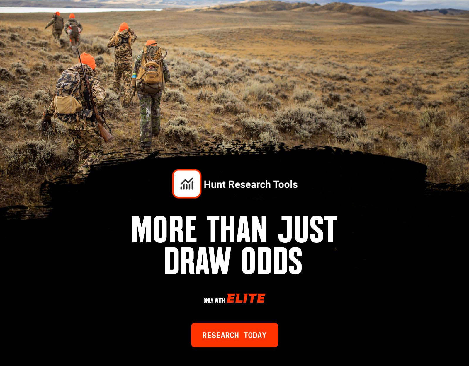
- Hunt Research Tools: Draw odds, tag trends, and harvest stats for 11 western states (Washington is not yet available) to help you decide where to apply.
- Huntin’ Fool: In-depth insights to navigate state-specific systems and build better strategies.
- HuntReminder: Text and email alerts so you never miss a deadline.
One membership, every tool you need to make 2026 the year.

Wyoming Hunt Application Deadline Overview
Application deadlines for non-resident elk close on Monday, February 2, 2026, and the remaining tags for resident elk, as well as other big game species, are drawn in April and May. Wyoming only accepts online applications.
The deadline to modify or withdraw your non-resident elk application is May 8, 2026.
WYOMING DEADLINES
Non-Resident Elk
Moose, Sheep, Bison, & Mtn. Goat
Deer, Antelope, & Resident Elk
Leftover Draw
Points Only
Wyoming Application Season Cost Overview
Wyoming charges a non-refundable application fee of $5 for residents and $15 for non-residents. There is also a non-refundable 2.5% processing fee.
From there, Wyoming hunting license fees vary depending on residency, species, sex, and license type (e.g. youth, special, landowner), and range from a couple of dollars for certain resident licenses to upwards of $6,000+ for non-resident licenses.
For any non-residents just beginning their research, to give a sense of pricing, most license fees fall in the hundreds of dollars. For example, non-resident antelope is currently $326, and non-resident elk is $692. A full list of hunting license fees is available on the WGFD website. Unlike the application fee, Wyoming’s hunting license fees are refundable if you don’t draw a tag.
If you successfully draw, in addition to the relevant hunting license, you’ll also need a $21.50 conservation stamp. And, archery hunters need an archery permit (exception: type 9 archery-only tags), which costs $72 for adult non-residents and $16 for adult residents.
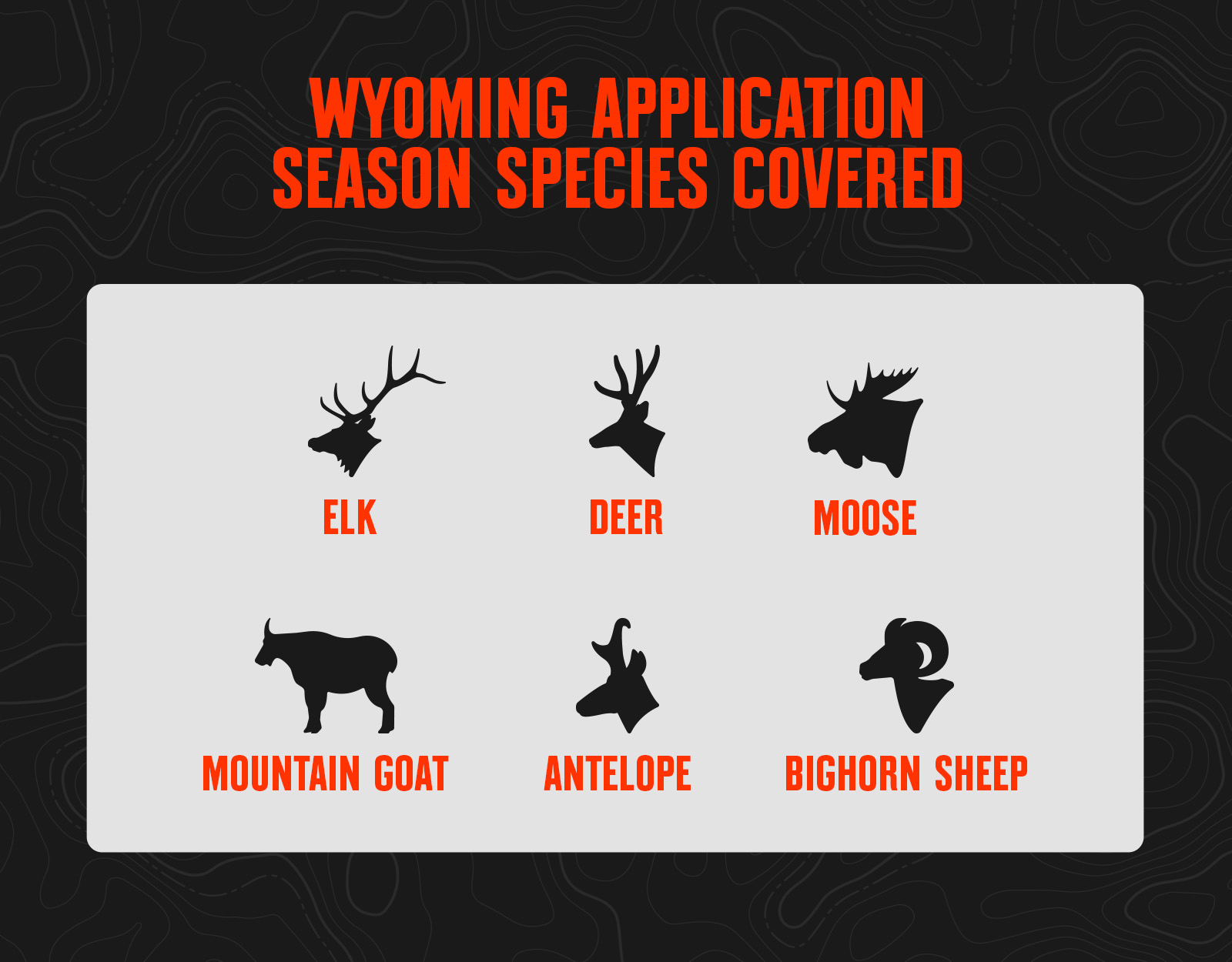
Wyoming Application Season Species
Wyoming Draw Process Basics
There is no point system for Wyoming residents applying for elk, deer, and antelope; tags are issued via a random draw.
For non-resident elk, deer, and antelope, Wyoming uses a preference point system. In Wyoming’s draw, preference point drawing accounts for 75% of available licenses in each hunt area. The remaining 25% go to a random draw, so it’s worth applying even if you haven’t been building points for years.
- Preference points are like a place in line—first in, first out. The applicants with the most preference points draw before applicants with fewer points.
- Non-residents buy species-specific preference points during an application window in the late summer; you do not buy points at the time of your tag application.
- You can’t buy preference points for a species if you successfully drew your first choice for that species in the same year.
- If you draw your first choice for your species, your preference points are purged back to zero.
- If non-residents fail to apply for or buy a preference point for a particular species for two consecutive years, they lose all accumulated preference points for that species.
Wyoming Big Game Draw Resources
- Review the Application Season Tools you get with an onX Hunt Elite Membership, including Hunt Research Tools.
Wyoming Draw FAQs
Yes. In Wyoming, any first-choice license drawn purges all of your preference points.
Yes, general elk licenses for non-residents are only allocated through a draw and will purge your points.
Yes, leftover cow/calf tags will roll to a leftover draw in June. That draw does not have any application fees.
Wyoming’s leftover tags go into a draw in June after the list is released. Almost all will be taken in the leftover draw. If there are any tags still left over after the leftover draw, those are sold on a first-come, first-served basis.
You can apply now, just make sure to only apply in the reduced-price cow/calf elk drawing.
No, only your 1st choice would purge your points.
You need to look at the special archery seasons table that’s released with the elk regulations. Not all units are the same. A general license allows you to hunt the region-specific units for any open seasons (archery requires the stamp), rifle is open.
Yes, non-residents must choose between the western, eastern, or southern region general elk license.
Yes, following the open general seasons in that region per unit. Some units are off limits to general license holders and are for limited licenses only.
No, non-residents cannot purchase an OTC cow tag in Wyoming.
Wyoming’s preference points purchase window runs from July 1 to November 2, 2026. There are no prerequisites to buying Wyoming preference points.
It just means it’s a different hunt. Could be a different portion of the unit, could be later dates, could be antler restriction, etc.
Definitely put in for two hunt choices (1st and 2nd choice) for two September archery bull elk hunts. For example, do something like 5B South archery first choice and 6A archery second choice.
Yes, there are some Wyoming bull elk hunts you can apply for that are late November. With an onX Hunt Elite Membership, you can use Hunt Research Tools to find these hunts.
No, Wyoming does not have application discounts for disabled veterans at this time.
For party applications, Wyoming averages everyone’s points, and that average is the point level assigned to your group application.