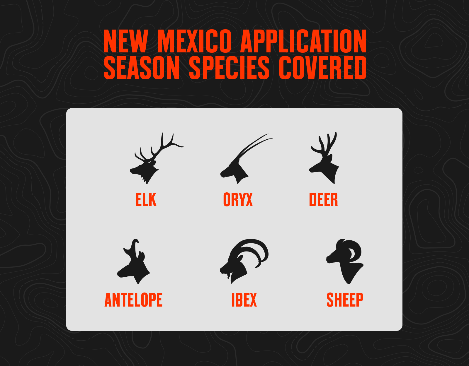
For non-resident hunters, New Mexico primarily presents as an elk and deer state. While antelope and bighorn sheep tags are available for application to non-residents, the draw odds are generally poor for these two species. The Land of Enchantment also offers public hunts for three exotic species: oryx, ibex, and Barbary sheep.
TL;DR: New Mexico’s 2026 hunting draw is a true random system with no preference points, meaning all applicants have equal odds within their pool. For non-residents, elk and deer offer the strongest opportunities, while antelope and bighorn sheep odds are generally low; the state also offers public hunts for oryx, ibex, and Barbary sheep.
Deadlines: black bear applications close Feb. 11, 2026 (results Feb. 18), and all other big game and exotics close Mar. 18, 2026 (results Apr. 22), with online applications due by 5 p.m. MT. Applicants list three hunt choices, all considered before moving to the next applicant, with tags allocated 84% to residents, up to 10% to outfitter pools, and up to 6% to non-residents. Costs include a hunting license, non-refundable application fee per species, upfront species fees (refunded if unsuccessful), and a habitat stamp, with discounts available for military and veterans.
![]()
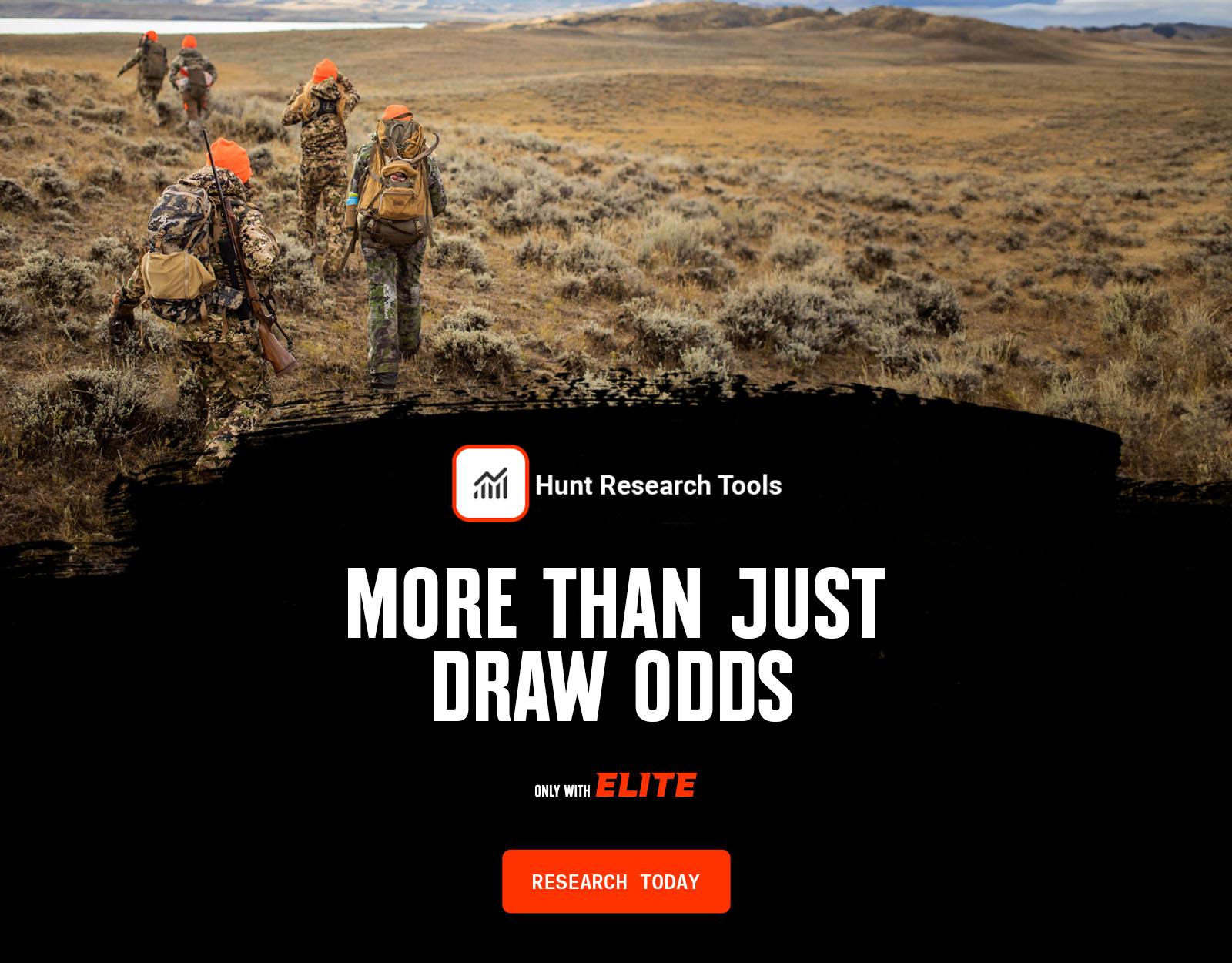
Your Complete System for Securing Tags
Whether you’re chasing a once-in-a-lifetime hunt or just looking to fill the freezer, your season starts with onX Hunt’s application tools—all included with an Elite Membership:
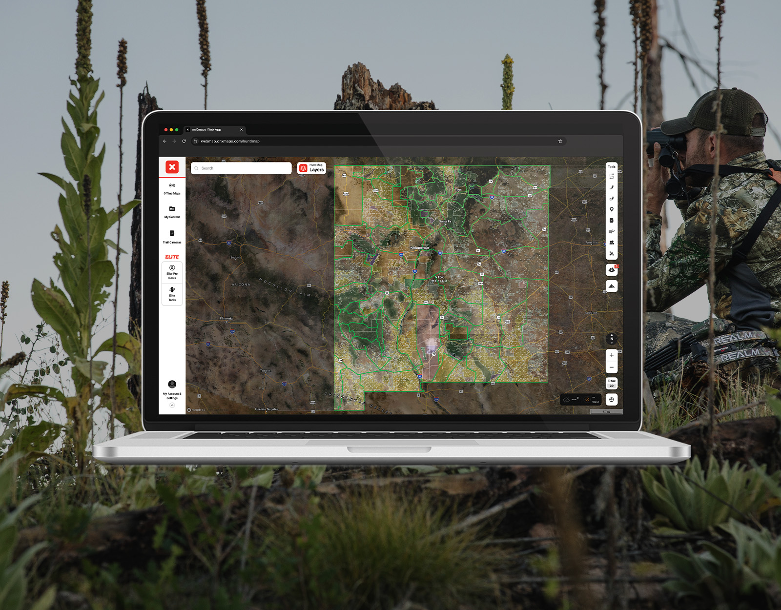
- Hunt Research Tools: Draw odds, tag trends, and harvest stats for 11 western states (Washington is not yet available) to help you decide where to apply.
- Huntin’ Fool: In-depth insights to navigate state-specific systems and build better strategies.
- HuntReminder: Text and email alerts so you never miss a deadline.
One membership, every tool you need to make 2026 the year.

New Mexico Draw Deadline Overview
New Mexico’s deadline to apply for black bear is February 11, 2026, with results available online February 18, 2026. The deadline for New Mexico Barbary sheep, bighorn sheep, deer, elk, ibex, javelina, antelope, and oryx is March 18, 2026. All applications must be submitted before 5 p.m. Mountain Time. Big game draw results will be available online on April 22, 2026.
2026 NEW MEXICO DEADLINES
Black Bear
Bighorn Sheep, Elk, Deer, Antelope, & Exotics
Looking for more draw deadlines? Huntin’ Fool lines out need-to-know dates for draws across the country. And, onX Hunt Elite Members get HuntReminder’s automated deadline alerts
New Mexico Hunting Application Costs
Hunting license and species costs for New Mexico big game tags include:
- New Mexico hunting license (resident $29/non-resident $94).
- Non-refundable application fee per species (resident $7/non-resident $13).
- Species fee (for New Mexico, you pay this upfront at the time of your application and are refunded if unsuccessful in drawing a tag.).
- Habitat stamp.
New Mexico offers active duty military members the ability to apply for several “Military Only” hunts, and there is a 50% discount for all licenses and stamps for resident, active duty military, or honorably discharged veterans.
New Mexico Big Game Draw Species
New Mexico Draw Process
Applicants are given three regular, limited-entry application choices when applying for any big game species. When an applicant is drawn, all three choices are considered before the next applicant is drawn. An additional fourth or fifth choice may be offered, but these application choices do not pertain to regular hunt choices; rather, they apply to leftover tags or population management tags.
Point System
- New Mexico does not have any type of point system; all tags are issued via a random draw.
- All applicants have the same chance to draw in their respective application type (Resident, Non-resident, Outfitter).
License Allocation
- A minimum of 84% of the total number of tags available for a given hunt are allocated to residents.
- A maximum of 10% of the total number of tags available are allocated to applicants who have contracted with a licensed New Mexico guide or outfitter (and use their outfitter’s ID number on the application).
- A maximum of 6% of the total number of tags available for a given hunt are allocated to non-residents.
Draw Odds
- For each application, New Mexico considers your first three hunt choices before moving to the next application, which makes calculating your true draw odds rather complex.
- The odds Hunt Research Tools lists are for a single applicant, Choice #1.
- Generally, the draw odds are better in the outfitter draw pool. But it is unlikely for an outfitted applicant to draw a hunt code with six or fewer available tags or for a non-resident to draw a hunt code with 12 or fewer available tags.
Resources
- Read New Mexico hunting news and updates.
- Explore Huntin’ Fool’s New Mexico insights.
- Review New Mexico unit trends with Hunt Research Tools.
New Mexico Draw Tips
- Because your first three hunt choices are evaluated on your application before moving on to the next application, the way you order your three choices can help optimize your draw chances. Order them from hardest-to-draw to easiest-to-draw to maximize your opportunity to draw choice one or two.
- Although New Mexico is not known for trophy mule deer, there are decent draw odds for hunts scattered throughout the state. If you are new to western hunting, these hunts offer a chance for a limited entry tag in areas that aren’t typically overrun with other hunters.
- New Mexico has an extensive private landowner tag system for elk and antelope, where tags can be purchased from landowners (generally expensive, but avoids the public draw). See A-PLUS, E-PLUS.
- Scopes are not allowed on muzzleloader hunts—open sights only. This diminishes the effectiveness of a muzzleloader as a long-range weapon, and may shift the demand for popular muzzleloader hunts.