From the Huntin’ Fool team: When it comes to Coues deer hunting, your options are both limited and abundant.
Coues Deer*
| Arizona | New Mexico | |
| Non-Refundable License, Application, and Point Fees | $175 | $92 |
| Permit Fee | $300 | $368 (Q/HD)$283 (S) |
| Over-the-Counter Option | Yes, archery | No |
| Point System | Yes, bonus | No |
| Landowner Vouchers | No | Yes, private land only |
| Conservation Vouchers | Yes, statewide only | Yes, statewide only |
| Statewide Raffle Permits | Yes, Arizona Big GameSuper Raffle | Yes, Statewide and Big Game Enhancement Package |
The only places that Coues deer exist are the southern desert climates of Arizona, New Mexico, and Mexico, so you are very limited on the areas where Coues deer reside. However, within those areas, permits are abundant, especially when it comes to Arizona archery and early season rifle hunts where permits can be picked up over-the-counter or as leftovers. In this article, I will explain the different options for putting a Coues deer permit in your pocket as well as advantages and disadvantages in each of these areas.
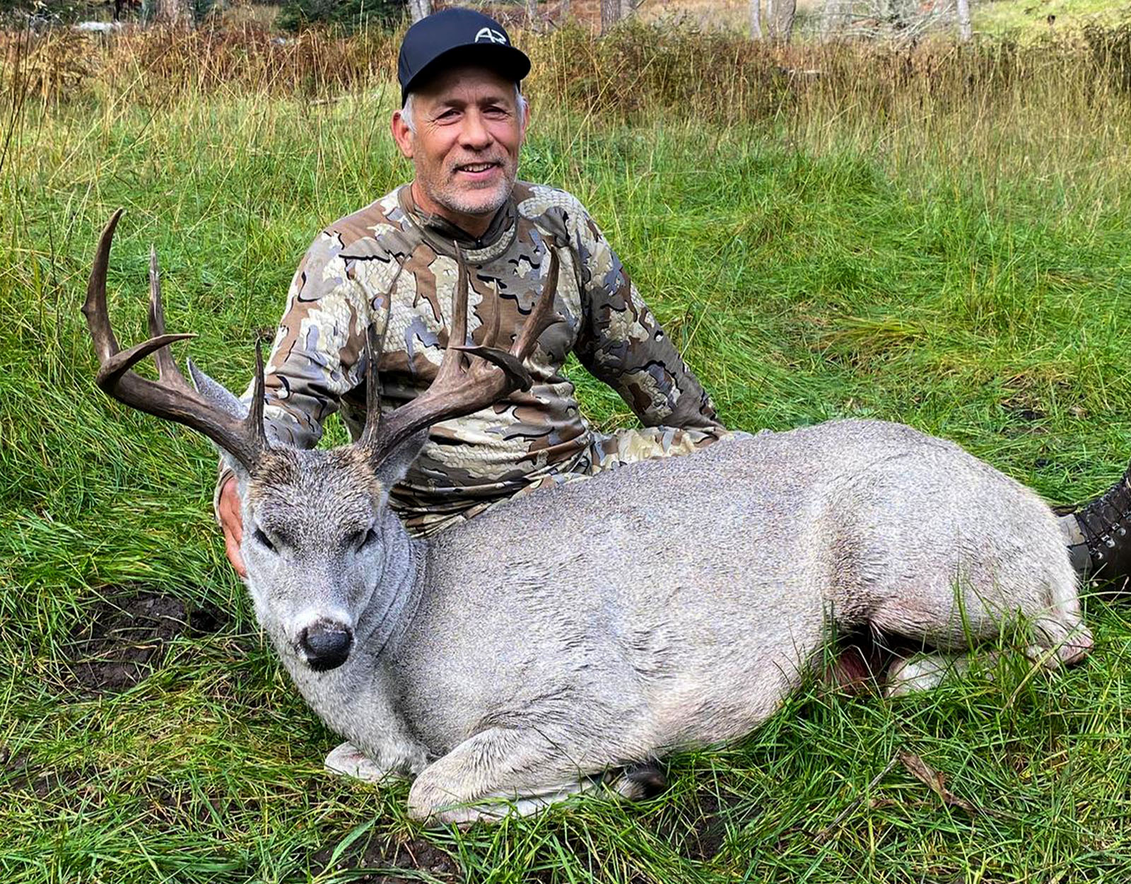
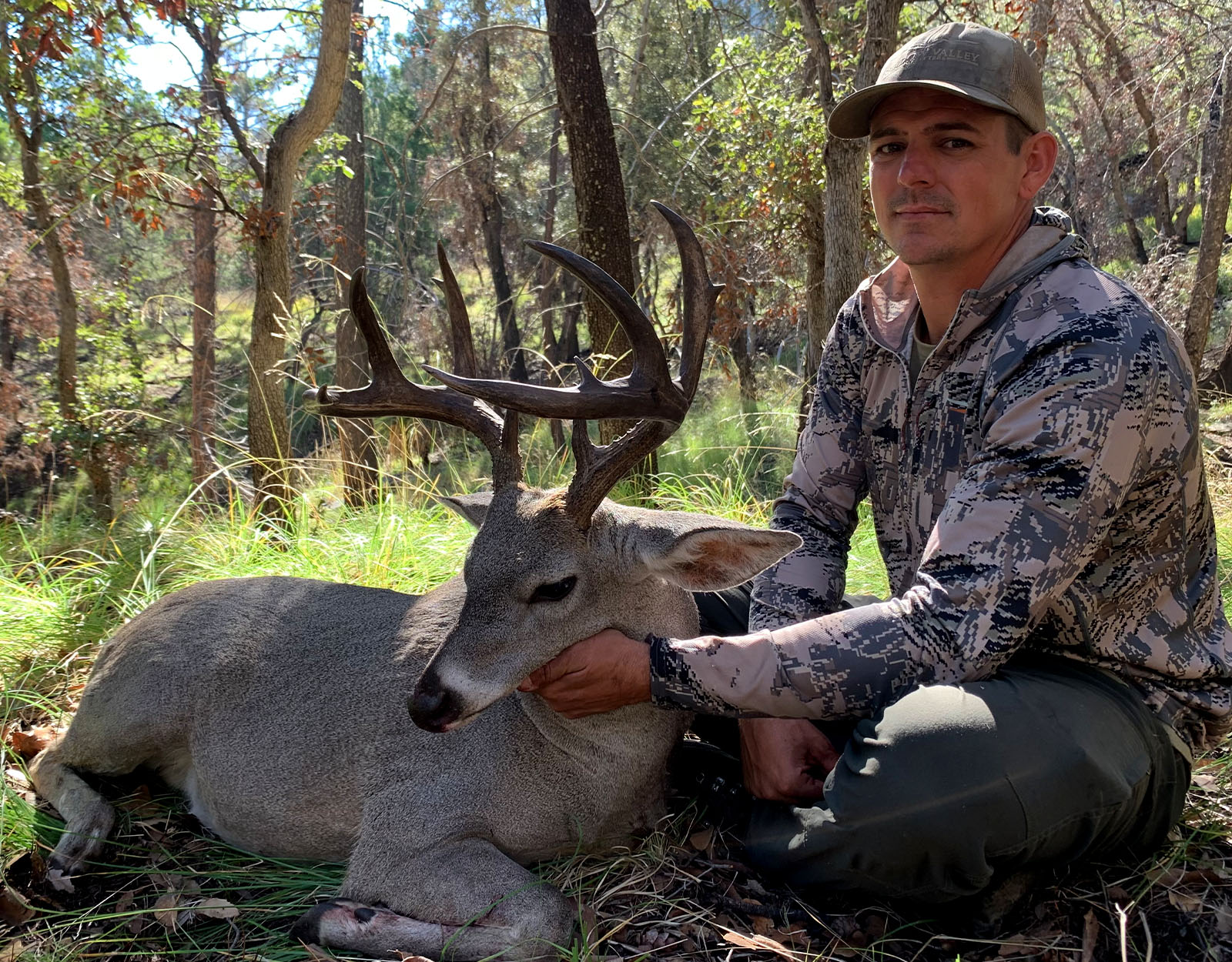
Coues deer are not just a small whitetail, so for everyone who lives in Midwest and Eastern whitetail country, they are different and require a few tweaks to your typical whitetail hunting strategies to kill one. Although Coues deer hunting is gaining popularity, I often hear the argument from hunters from the Midwest and back east that they would just as soon hunt mule deer as they have no interest in traveling that far to shoot a “little whitetail.” A mature Coues buck in the 100″ class is often regarded as one of the most sought-after trophies in the West. They are one of the toughest big game animals to glass as they can hide behind a 12″ tall yucca plant and you might never see them if they don’t move.
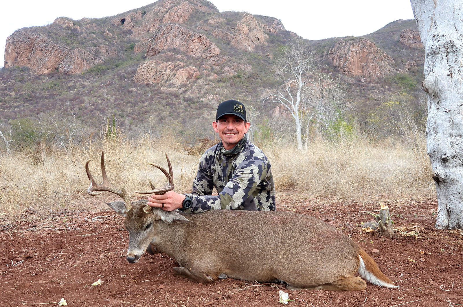
Mexico and Arizona have the highest densities of Coues deer, with most of the Coues deer in New Mexico residing in a handful of units in the southwest corner. The farther north you travel in Arizona, the fewer Coues deer you will find, but the trophy size is just as good and there are often more mature bucks in relation to overall numbers. One thing almost all mature bucks have in common is their ability to disappear into thick cover, and outside of the rut in January, they live in the thickest cover they can find.
Arizona
Boone & Crockett Entries in Most Arizona Counties
| County | # of Boone & Crockett Entries Since 2010 |
| Cochise | 31 |
| Coconino | 2 |
| Gila | 25 |
| Greenlee | 11 |
| Pima | 30 |
| Santa Cruz | 13 |
| Yavapai | 4 |
Arizona Coues deer hunting can be broken down into two different sections of the state based on population and terrain/habitat: the central/southcentral units and the southern units. Most of the units within the state have four general rifle seasons, except a few of the far north units that have two or three. All of them have an October season and a late December season, which are widely considered the two best hunts for a chance at a trophy buck, but for different reasons. The October season allows you first crack at bucks that have not had much hunting pressure early in the season, and the late December season has far fewer permits and allows hunting during the pre-rut when mature bucks can become less nocturnal.
The late December hunts take the most points to draw because of the opportunity to hunt bucks during the pre-rut and the limited number of permits. For this permit, most units take between eight and 10 points to draw with a handful of units taking 12+ points. The hunts that take 12+ points to draw have slightly better trophy potential, but bucks that are just as big will be harvested from lower point units every year by patient hunters who are willing to hike, glass, and pass on a lot of immature bucks to find the one they want.
When it comes to the October and November seasons throughout the state, most of these hunts can be drawn with two to three points. These hunts typically have hundreds of permits available and can be crowded. After the rifle seasons kick off, bucks become more nocturnal, and that is why the second and third hunts are typically the easiest hunts to draw out of all of them. The early hunt can be productive, but hunters must be willing to put more time in on the glass, more miles into the remote areas, and brave triple-digit temps to find bucks that haven’t been pressured yet.
The other option for obtaining a permit for Coues deer is the archery-only non-permit tag that residents can purchase over-the-counter (beginning in 2024, a limited number of tags are available to non-residents online on a first-come, first-served basis). In 2022, AZGFD instituted a non-resident quota for non-permit archery tags to be issued annually. This permit is good statewide for all Coues deer units during various times of the year. Almost all Coues deer units have an August/September season, a late December season, and a January season, but you will need to follow the quota for each individual unit and if that area still has an open quota.
August/September is a great time to pattern a velvet buck and hunt waterholes, so long as the monsoon rains stay at bay. The January season is the only season that allows hunting Coues deer during the rut in Arizona. It is challenging to close the distance, but at least the deer are visible, which gives you hope. Keep in mind that this permit is for the calendar year and you must purchase another permit if you plan on rolling your December hunt into January.
Trophy potential in Arizona is at an all-time high with more trophy bucks hitting the ground than ever before. This is possibly due to technology advancements that have made hunters much more effective. Arizona is the top state for Coues deer hunting possibilities, but the only way to get a rifle permit is through the draw. There are only two ways to acquire rifle permits outside of the general draw: the statewide auction and the statewide raffle. Arizona does not currently offer any type of landowner or conservation permits.
New Mexico
Boone & Crockett Entries in All New Mexico Counties
| County | # of Boone & Crockett Entries Since 2010 |
| Catron | 6 |
| Grant | 8 |
| Hidalgo | 6 |
| Sierra | 2 |
New Mexico is the third wheel when it comes to Coues deer population and trophy potential. With that being said, that is more of an indication of how phenomenal Arizona and Mexico are and not how bad New Mexico Coues deer hunting is. Most Coues deer reside in units 21, 22, 23, 24, 26, and 27, which are all located in the southwest corner of the state. Units 23, 24, and 27 all have two rifle hunts for Coues deer only. Unit 23 has two separate units, one hunt that includes the Burro Mountains and one that is everything outside of the Burro Mountains. Units 22 and 26 have smaller populations of Coues deer and only have any deer rifle seasons where hunters can choose to harvest either a mule deer or a Coues deer.
The best hunts for Coues deer in New Mexico are during the October muzzleloader or the January archery seasons. The archery hunts are basically 100% draw if you apply for them, and the muzzleloader hunts are not far behind with most of them being close to 100% draw. With the new rule in New Mexico removing scopes from muzzleloaders, it will make the muzzleloader hunt a lot tougher for harvest. The archery hunt is during prime rut time, and the muzzleloader season is held just early enough to catch mature bucks still in their summer routines and they are more predictable.
New Mexico is not known for 100″+ bucks, so for those hunters who are only looking for trophy quality, units like 27 and 23 Burro Mountains should be their target. However, the draw odds for rifle hunts are less than 6% for both early and late hunts. While unit 23 excluding the Burro Mountains and unit 24 have decent populations, they just don’t seem to produce many bucks over 90″, with unit 24 being the toughest. Part of the reason trophy bucks are harder to come by in New Mexico is because of the rifle season dates. The first rifle hunt is conducted in late November and the second rifle hunt is conducted in early December, which are both far from ideal season dates and can be difficult hunts for turning up mature bucks. The bright side is that densities are high in units 27 and 23, so you will be in an area that has trophy potential and plenty of bucks. However, you will have to be on point to find a mature buck during this time of year.
Although New Mexico is big in the landowner voucher game for elk, they currently only offer private land only permits for deer, so most of the Coues deer are off limits. They do have a statewide conservation permit and a couple of statewide raffle permits, though, that can be used for Coues deer.
New Mexico is an intriguing state to apply in as they do not have a point system, so everyone has the same odds and trophy rifle Coues deer hunts have significantly better draw odds at 2% than trophy rifle mule deer hunts at <1%. New Mexico is a great opportunity for Coues deer hunting. Don’t overlook the early muzzleloader and late archery hunts as a third choice if you want to hunt the best units in the state every year or every other year.
Mexico
Boone & Crockett Entries in Sonora and Chihuahua, Mexico
| State | # of Boone & Crockett Entries Since 2010 |
| Sonora | 67 |
| Chihuahua | 1 |
Mexico is pretty straightforward when it comes to securing a permit as “pay to play” is the name of the game. Coues deer reside in the northern portions of Sonora and Chihuahua in which both are almost entirely private land. Most of these ranches have been leased by American outfitters who run hunts on them from December to February. Ranches can vary widely, but properly managed ranches in Mexico are often thought of as the Holy Grail of Coues deer hunting because of their high population and densities of trophy size bucks exceeding 100″. Most of these hunts will run between $4,000 and $6,000 for a quality Coues deer hunt.
Mexico is a place where you will definitely want to cross all your T’s and dot all your I’s if you plan on traveling there. While most ranches down there are completely safe, the travel to and from can sometimes be uncertain. You will want an outfitter who has arranged for you to be greeted at the border or airport to mitigate any unforeseen issues that can and do arise from time to time. Transporting firearms into Mexico is often one of the biggest problems, mostly because of the paperwork having slight discrepancies on it. Most quality outfitters nowadays have long-range rifles already on their ranches for their clients to use because of constant complications of filling out all the necessary paperwork to transport your gun into Mexico.
The best advice I can give anyone who wants to travel to Mexico for a world-class Coues deer hunt is to hire a trusted, quality outfitter who has been hunting south of the border for 10+ years. The trophy quality is second to none, and with the ability to hunt mature bucks during the January rut, your chances of harvesting a 100″+ buck are sky high.
Reservation Hunting
The San Carlos Indian Reservation has some great Coues deer hunting. Permits are a little more expensive, ranging from $1,500 to $4,000 depending on the unit drawn. They have an application period in the month of December that typically runs the entire month. The cost of this application is a non-refundable $26 fee. There are a limited number of non-tribal permits available, and the more highly sought-after permits will all be drawn out. Typically, they have a few permits remaining after the draw, but the price is the same for leftover permits as permits acquired in the draw.
Certain hunts and regions require an Apache guide to accompany you on the hunt, which will increase the overall cost. The season dates are excellent with three separate hunts taking place from late December to early January and a late November hunt as well. This is a cheaper option to the Mexico Coues deer January hunts, and trophy potential can be very good for 100″ bucks for hardworking hunters who are willing to put a few miles between them and a road.
If you are interested in Coues deer hunting, there is no reason you can’t plan a trip in the near future or even on a day’s notice, depending on the hunt. Coues deer hunting opportunities are plentiful and affordable. If you want a trophy class Coues deer hunt but can’t afford to go to Mexico or the San Carlos, then you should be building points in Arizona. In about eight years or so, you should be in for a late December rifle hunt.
If you are an archery hunter, you can chase mature bucks every year in Arizona and New Mexico, and if you get crafty, you can simply hunt both sides of the border at the same time, depending on where you see a great buck. Mexico is the obvious choice if you have the budget and want a 100″+ buck, but the San Carlos Reservation can be a less expensive second option. Give us a call and we can put you in touch with the best outfitters in Mexico so you won’t have to worry about the safety factor and you can just enjoy the culture and hunting giant bucks.
Your One-Stop Application Season Stop
To maximize your time spent researching and applying—and to help you build your strategy to successfully draw—we’re providing onX Hunt Elite Members with FREE services in one comprehensive package:
- Hunt Research Tools: In-Depth Draw Odds and Application Tools
- Huntin’ Fool: Boots-on-the-Ground Research and Insight
- HuntReminder: Worry-Free Text and Email Reminder Service
- onX Hunt: Map Your Hunt With Research Layers