When you’re looking to escape the crowds and head outside, the onX Hunt App can help you plan and execute. Whether you live on the lake, are looking to lose the crowds in the mountains, or just enjoy your annual camping trip, our hunting GPS app has features to help you make the most of all your summer plans.

Campsites
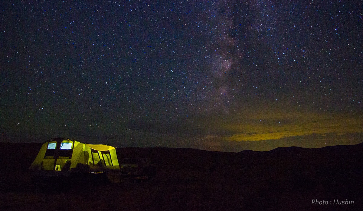
There’s nothing like camping—it’s the tried-and-true activity of summer and as American as apple pie. The Hunt App’s Recreation Site Layer displays campsites all over the country and is a dedicated tool for finding a last-minute site during your road trip or a secluded spot when you want to get away from the crowds. Each site is marked with an obvious tent icon, so you can find a spot while on the go.
Taking the great American road trip in your RV? There’s also an icon marking all major RV campsites as well.
Public Lands
If developed campsites are too civilized for you, or you’re just looking for a little more solitude, the Public Lands Layer will show you an entire world of camping opportunities. From BLM lands to National and State Forests, the layer shows you vast stretches of public land accessible for primitive camping. You can also combine the Topo Basemap with the Public Lands Layer to help find the flattest area to pitch your tent.

Water Access
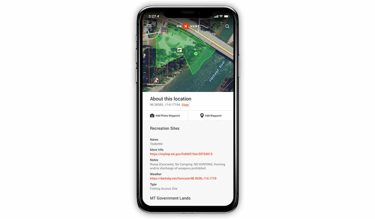
The surefire cure for sweltering summer heat is a day on the water. If you’re taking the boat out on a new lake, tap the Recreation Site Layer and watch as clearly marked and accurate boat launches appear on your screen. With fishing access points across the country, this Layer will also help anyone looking to cool off in the river or cast a line for hungry bass and trout. If fishing is your go-to activity, be sure to check out our latest post on all the different ways to use the onX Hunt App for fishing.

Mushroom Picking
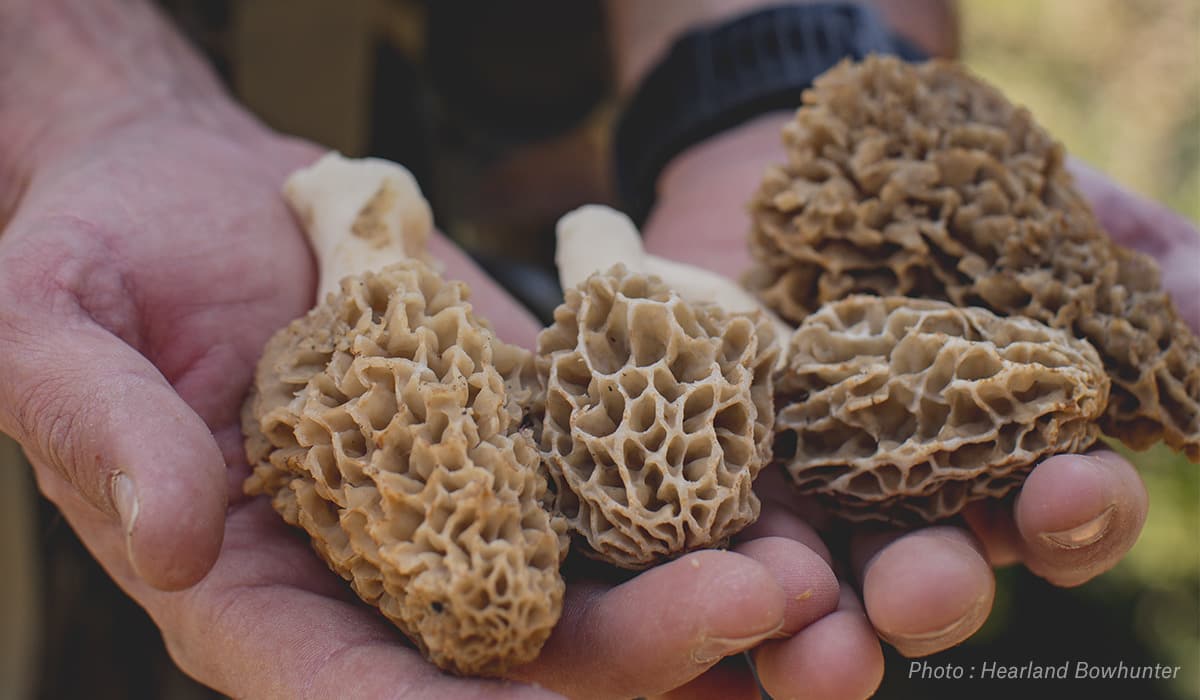
onX is a mushroom hunter’s secret weapon, as many local harvesters in our office prove year after year—so much so, that we wrote a blog about it. If you’re looking to get your hands on morels worth their weight in gold and flavor, the Historic Wildfire Layer displays the areas a wildfire swept through, as well as the year it burned. Plan your next picking trip in one of these burned areas to increase your chance of filling a bucket. For our extensive guide on morel mushroom hunting, click the blog link above to learn where to find morel mushrooms and how to build your own morel mushroom hunting maps.

Hiking and Trail Running
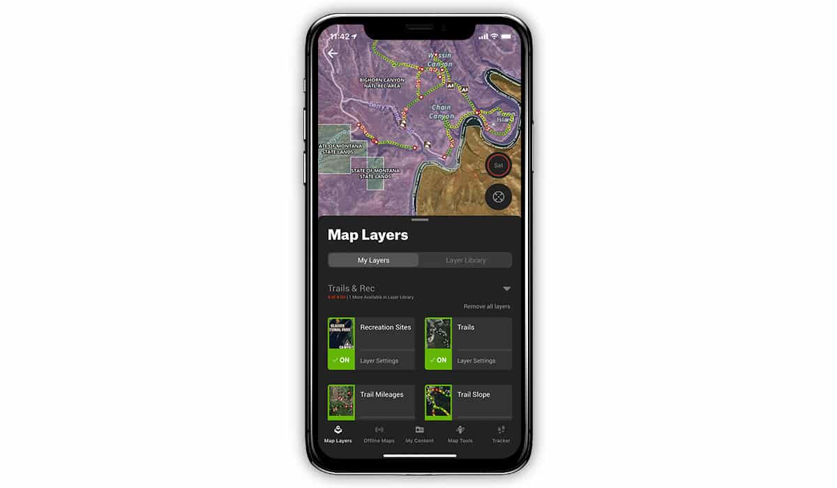
It’s not just the massive amount of trail maps that makes the Hunt App so useful, but the Mileage and Slope Layers that make this the most useful hiking app. You can plan your day hikes and backpacking trips by knowing exactly how many miles are left to your destination or the next trail junction, while the Slope Layer prepares you for the trail grade you’ll face. You can also combine the Trail Layer with the Aerial Imagery Basemap to get a view of the mountain lakes that act as a fitting reward at the end of the hike.
Trail runners can also use the vast amount of trail data to plan out the perfect distances and difficulties for training and competition. Running a new area or race and worried about trail markers? Bring the Hunt App in your hydration pack as a backup plan to get over the finish line and onto the podium.
Predicting the Perfect River Flow
If you’re venturing to cast a line for feeding trout or barrel through breaking whitewater on a raft, knowing the river levels is key. The River Stage Forecast Layer creates small dots along major rivers. Tapping each dot will open a new screen with USGS river data for the selected river along the selected stretch of water, letting you know if you should pick flies to match the hatch or strap on your life jacket for an adrenaline rush of waves.
Whatever your summer recreation plans, take some time to plan ahead from the comfort of your home with onX Hunt Web Map. Once you log into your onX account online, you’ll have full access to all your maps and mark-ups on the larger screen of your home computer. So pull up a chair, grab a big cup of coffee (or your preferred adult beverage), and get to planning. Long summer days will be here soon.