Satellite imagery is one of the most important tools a hunter can use. It provides crucial insight when scouting for quality habitat, timber cover, glassing opportunities, and more. Combine that satellite imagery with topography in the form of the Hybrid Basemap, though, and hunters have an exceptional tool for understanding terrain and how to move through it.
Topographic maps give this hunting GPS app a three-dimensional view of a landscape. By illustrating elevation changes, hunters are able to locate peaks, valleys, saddles, and slopes—all critical terrain features for locating game. While reading a topo map may not be quite as easy as looking at satellite imagery, we’ve put together a tutorial to help bring you up to speed. By combining your newfound knowledge with unique features like hill-shading that make our Topo Basemap even more useful, you’ll be prepared when you hit the woods.
How To Use Contour Lines
The cornerstone for all topo maps is the contour line. The vicinity of contour lines to one another indicates the elevation lost or gained on any slope aspect. Contour lines close together represent a steep increase or decrease in elevation, while lines further apart represent a gentle slope. Spaces with no lines indicate flat ground.
The lines work by connecting points on your map that represent the same elevation. Every fifth line in the sequence is a thicker line referred to as an index line, and somewhere along that line is the exact elevation. To determine the elevation change in each contour line simply take the difference in elevation between two index lines, then divide by the number of intervals between the index lines.
Find Shapes for More Info
Contour lines will form shapes that define terrain features. Knowing these features and how they are typically depicted by contour lines is the key to extracting the most information from a topo map.
Some of the major features and their shapes are:
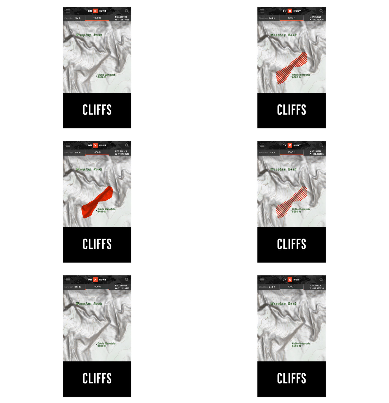
Cliffs
Extremely close contour lines indicate a sudden drop or rise in elevation—cliffs.
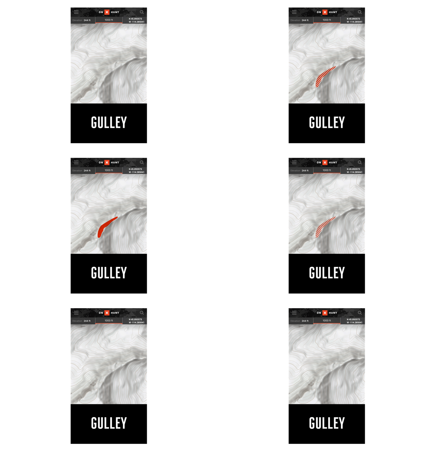
Valleys, Ravines, and Gullies
Contour lines in a U-shaped pattern indicate rounded gullies, and V-shaped lines indicate sharp valleys and gullies. Both the U and V shapes will point uphill toward higher elevations.
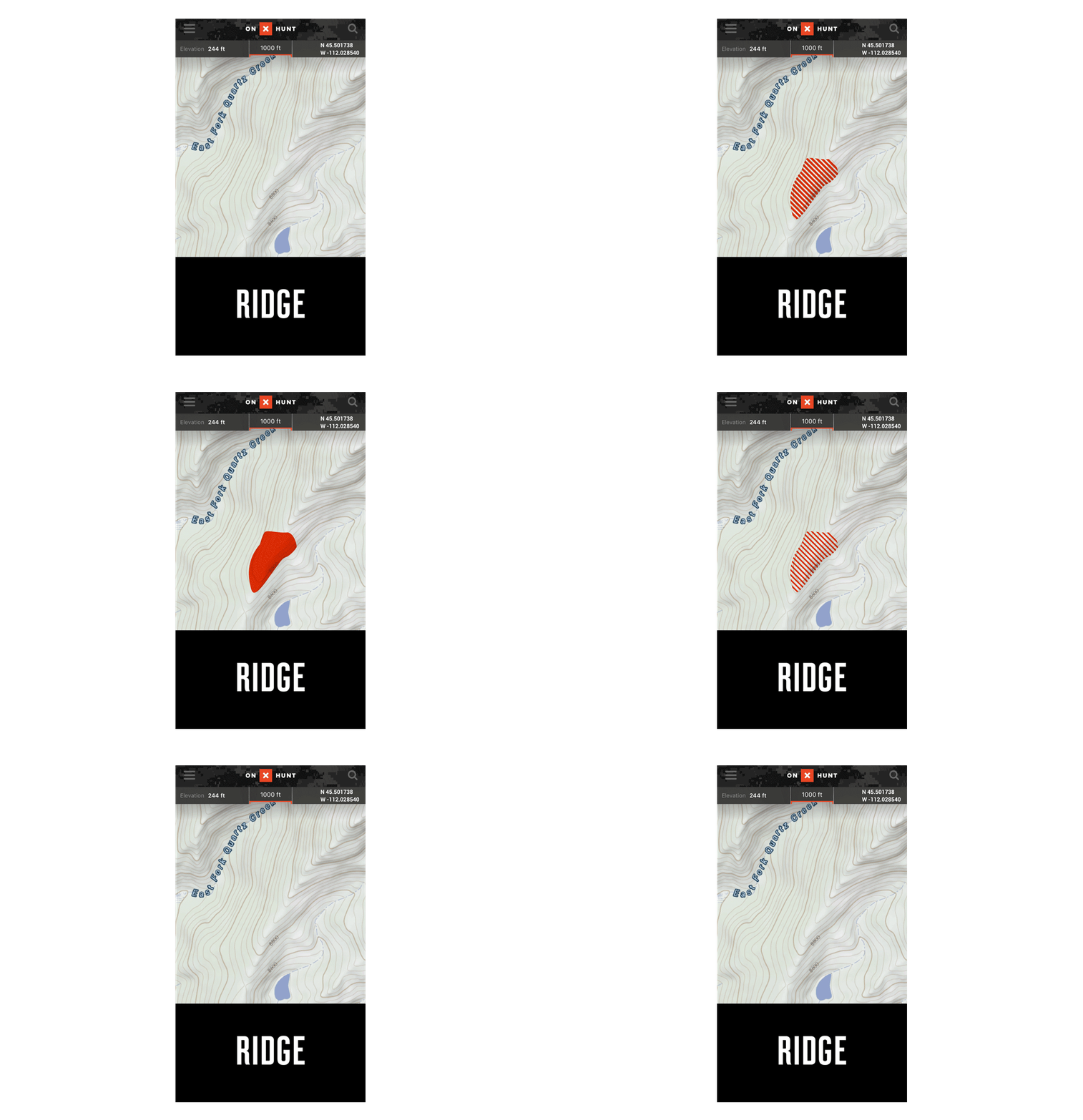
Ridges and Spurs
Contour lines in a pattern of Vs and Us pointing downhill indicate ridges and spurs.
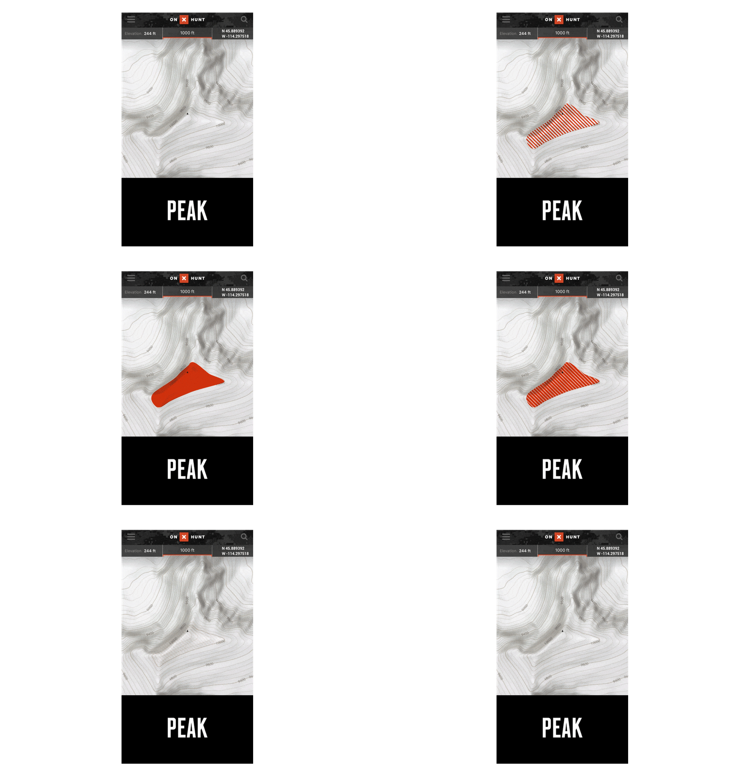
Peaks and Summits
Large circles with smaller and smaller circles within them indicate peaks. The smallest inner ring or circle represents the highest point, the summit.
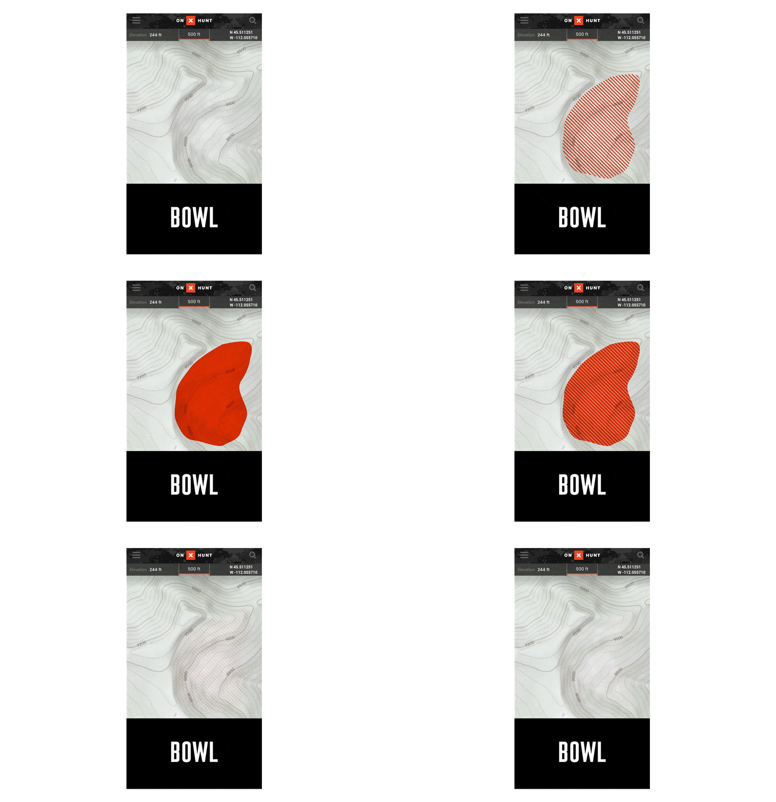
Bowls
Contour lines forming a semicircle that rises from a low point indicate a bowl.
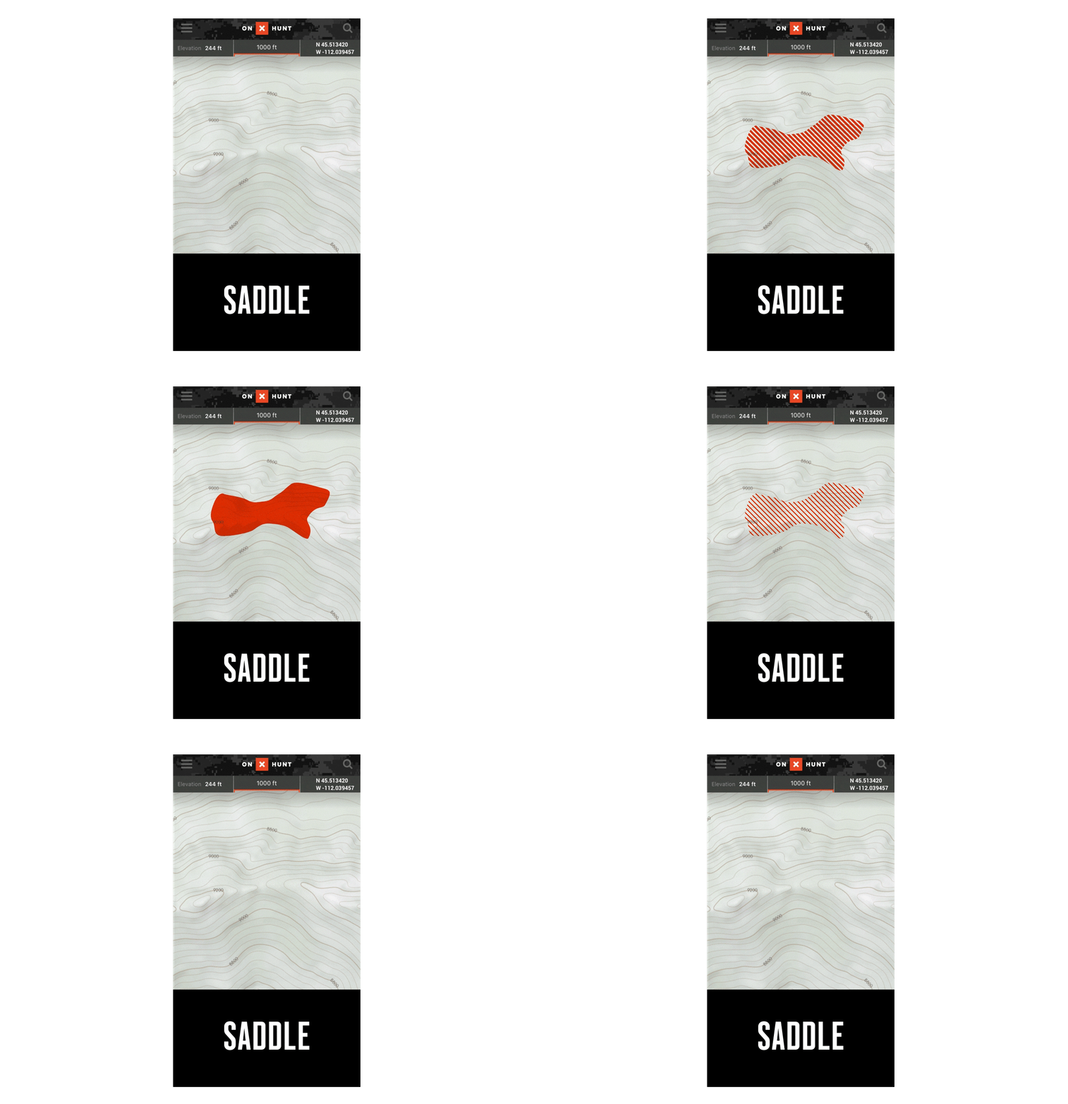
Saddles
Contour lines that form an hourglass shape with rising contour lines on each side indicate a saddle.