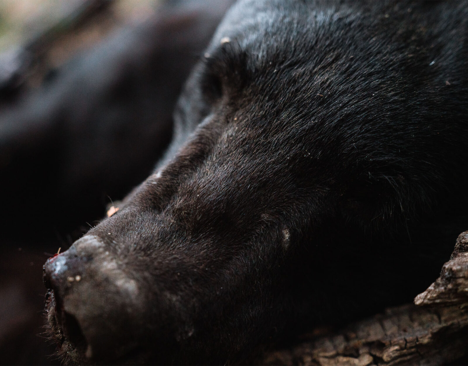
It’s been cold, dark, and gloomy. Winter has been making its rounds for a while now and I think it’s safe to say we’re all craving a little bit—sorry, a lot bit—of spring. Soon, the flowers will begin to wake up, and with them, black bears.
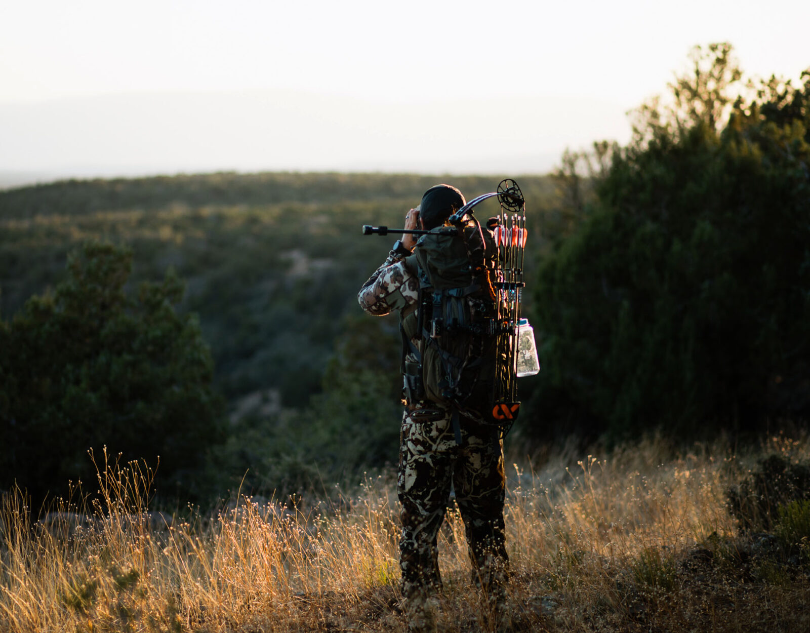
I’ve been pursuing black bears in the western U.S. now for about 10 years, and they’re without a doubt my favorite critter to chase. They are also some of the most difficult. Through the years, I’ve compiled a system of e-scouting tactics that have been proven time and time again. I’m going to run through the process of how I go about e-scouting for spring black bears, as well as things to consider throughout the process. Of note, this article is catered toward spot-and-stalk hunting.
Hit play for a deep dive into Josh’s full black bear e-scouting process.
Feed Is Everything
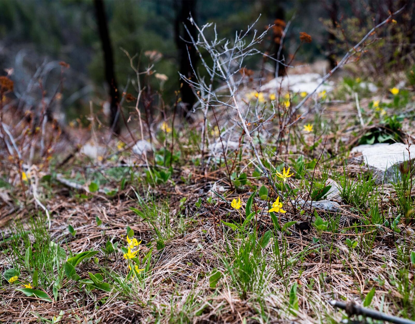
During the springtime, it’s all about the greens. Bears will be focused on mowing down green grass, leaves, flowers, and more greenery. They’ll also be flipping rocks in search of bugs to snack on. Out of the two, focus your efforts on the vegetarian menu. Without a food source, you’re shooting in the dark blindfolded and tipsy.
In short, if you don’t have a food source you don’t have anything. As a bear hunter, remember that and live by it. Find the food and you’ll find the bears.
Picking a State
Oregon, Idaho, Arizona, Montana, and Wyoming all offer over-the-counter spring bear hunting opportunities. The formula for success in each of these states is fairly similar. The variable, however, is the season length. Arizona, for instance, only has a season that runs into the first few days of May, while Idaho has units with seasons that last until June 30 and even some through July 31. Do your research ahead of time on tag prices, sow quota limits, and general logistics to find out what state fits your needs the best.
Picking a Unit
To get the ball rolling, make sure your Hunt Unit Layer is on in the onX Hunt App. There’s no shame in doing a quick google search on “best bear hunting units in Montana” as the next step. You’ll find forum threads, articles, and more. Pick the unit that caters to the kind of experience you’re looking for. For instance, a backpack hunt is going to require wilderness areas or large pieces of roadless public land. Using your Wilderness Area Layer and Motorized Roads and Trails Layer in your maps will help bring these things to light.
Where To Start?
Elevation
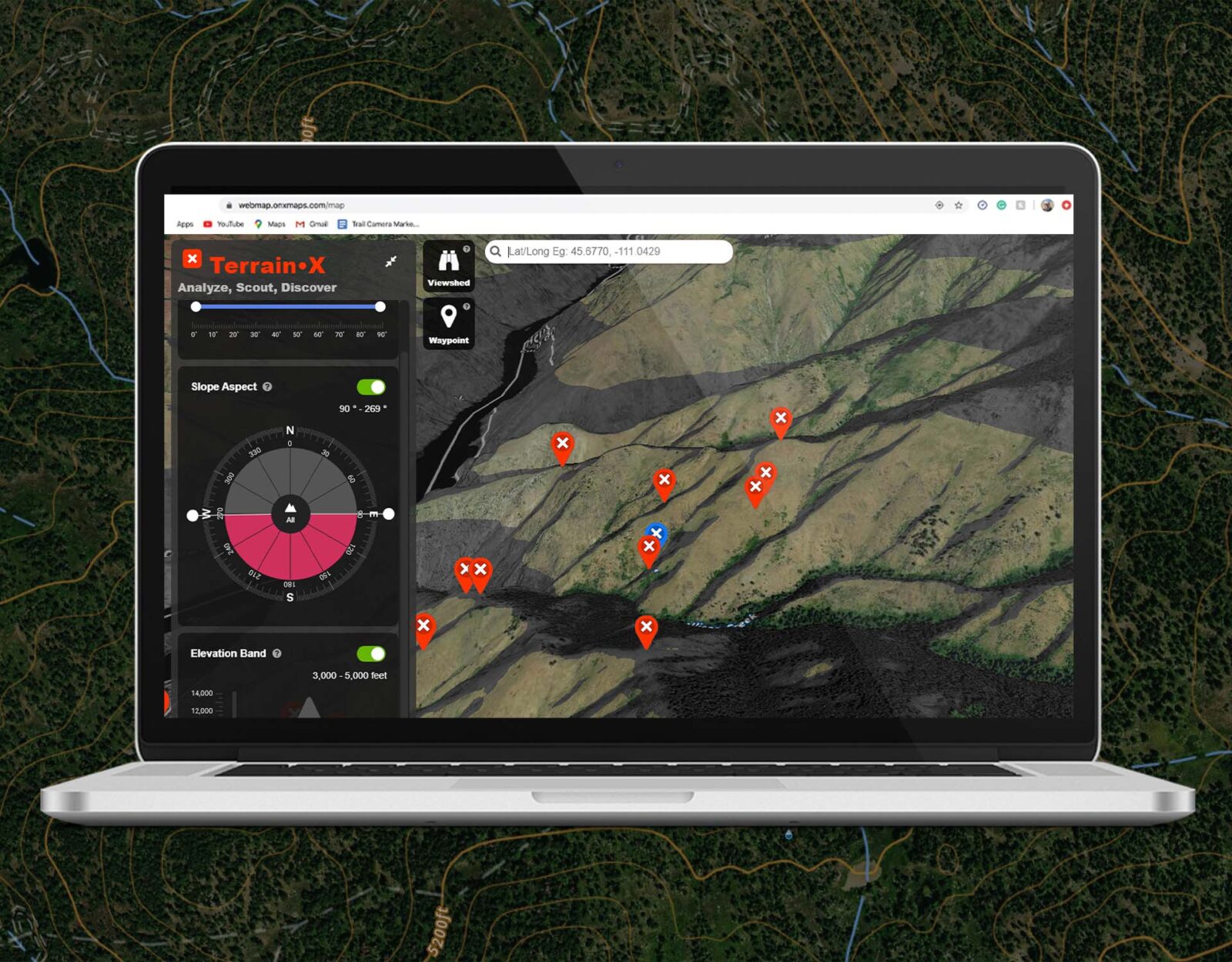
The elevation is highly influential in where you’ll find bears, especially earlier in the season. So, be sure you’re using either Hybrid or Topo Basemap mode so you can see the elevation numbers as well as contour lines. TerrainX is also going to be next-level handy because it allows you to block off certain elevation bands.
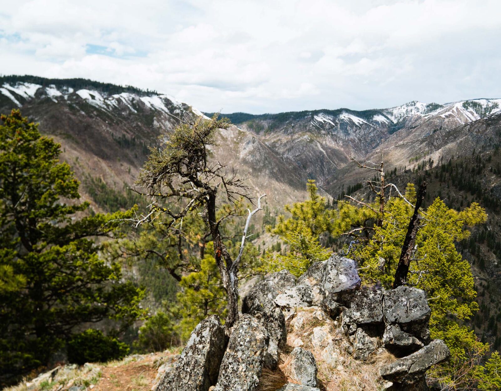
In the early springtime, there will be a snow line in most of these states. This means that high elevation, say above 6,000 feet, shouldn’t even be on your radar. Arizona is an exception due to the lack of snow in most areas. We’ve seen bears at up to 7,000 feet in early April there. With that in mind, you can block off quite a bit of country.
The bears are going to be below these snow lines where the fresh green-up is. And they’ll follow the grass right up the mountain as the snow melts throughout the season. At the beginning of spring (early April), I’d focus between 3,000 to 5,000 feet. Later in spring (June/July), I’d look at 6,000 to 9,000 feet. You can use the TerrainX feature to block these off and only show areas that cater to what you’re looking for.
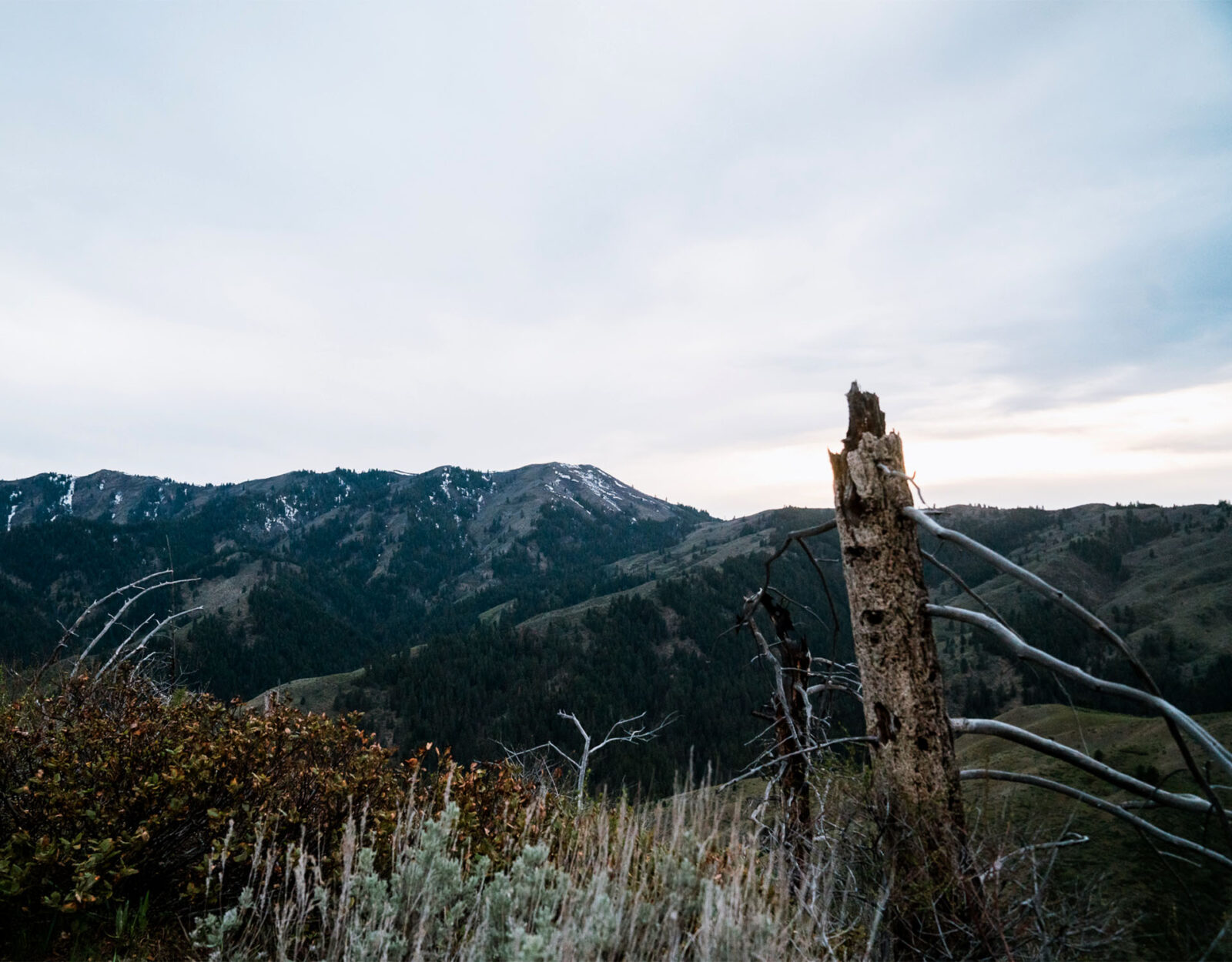
Steep Main Drainages
Next, I’m also looking for steep main drainages. Bears absolutely love canyons, as they usually offer solitude, feed, and water in the bottoms. And the bigger the swing in elevation, the better. Long steep grades will offer one the ability to really watch bears move up from the bottom toward the top as the season progresses.
To get more particular here, I’m looking for either main east/west running canyons or north/south canyons with a basin at the head. An east/west running canyon offers a south face and a north face on either side of the bottom. South faces are going to green up quicker than the dark dreary north faces will. This means bears will be feeding here at the start of spring. North faces offer ample bedding areas, and bears can also be found there. They will likely be at the bottom of those north faces in early spring.
North/south canyons with a basin at the head offer an east face and a west face along with an easy travel route, being the basin at the head, which is a south face. This setup allows a bear to go from feeding to bedding quite easily.
TerrainX can be used to set all of these specifications. You can set both the slope angle and the slope aspect (face) you’re looking for, and it will be highlighted on your map. This will allow you to see areas pop up much more quickly on the map, which will make this whole process much smoother and more efficient. After narrowing some of this down, use the Line Shape Tool to draw areas out and mark them for future reference.
Focus on Broken Country
As you’re perusing satellite imagery, focus on “broken country”—terrain that has both timbered areas as well as openings. The timbered areas are ideal for bears to lay down, but they also need feed, which is where the open areas come into play because that’s where the grasses will be.
Old burns are great places to look for bears because they offer a little of everything. You can use the Historic Wildfire Layer in your maps to see where these old burns are. Doing this will highlight old burns, tell you the year, and amount of acres burned.
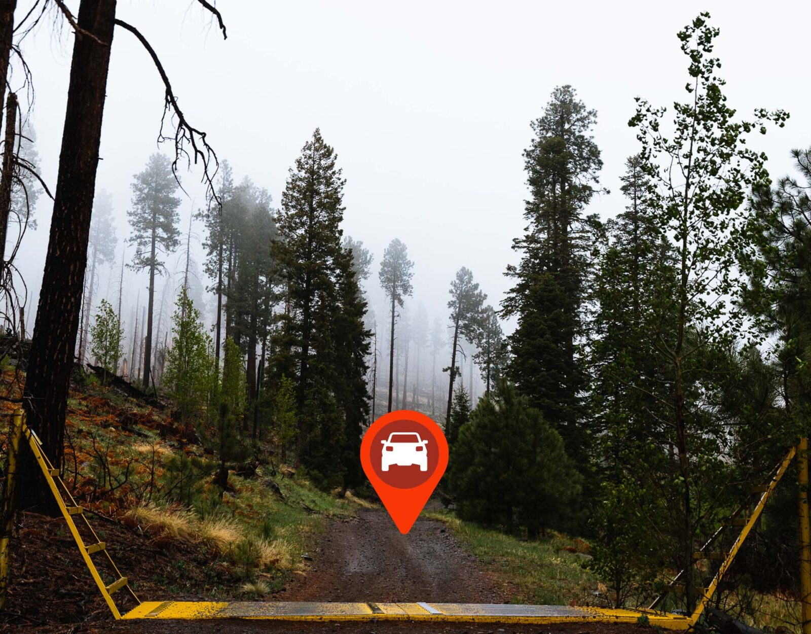
Logging Roads
Old logging roads are tried-and-true bear magnets. Not only do they offer a bear an easy path of travel, but grasses sprout here as well. Bears can often be observed feeding along these logging roads, and they’re also great spots to look for scat. These roads can be seen via satellite imagery and your onX Roads and Trails Layer will tell you if and when the road is open for travel. Closed roads are the best.
Identify Glassing Areas
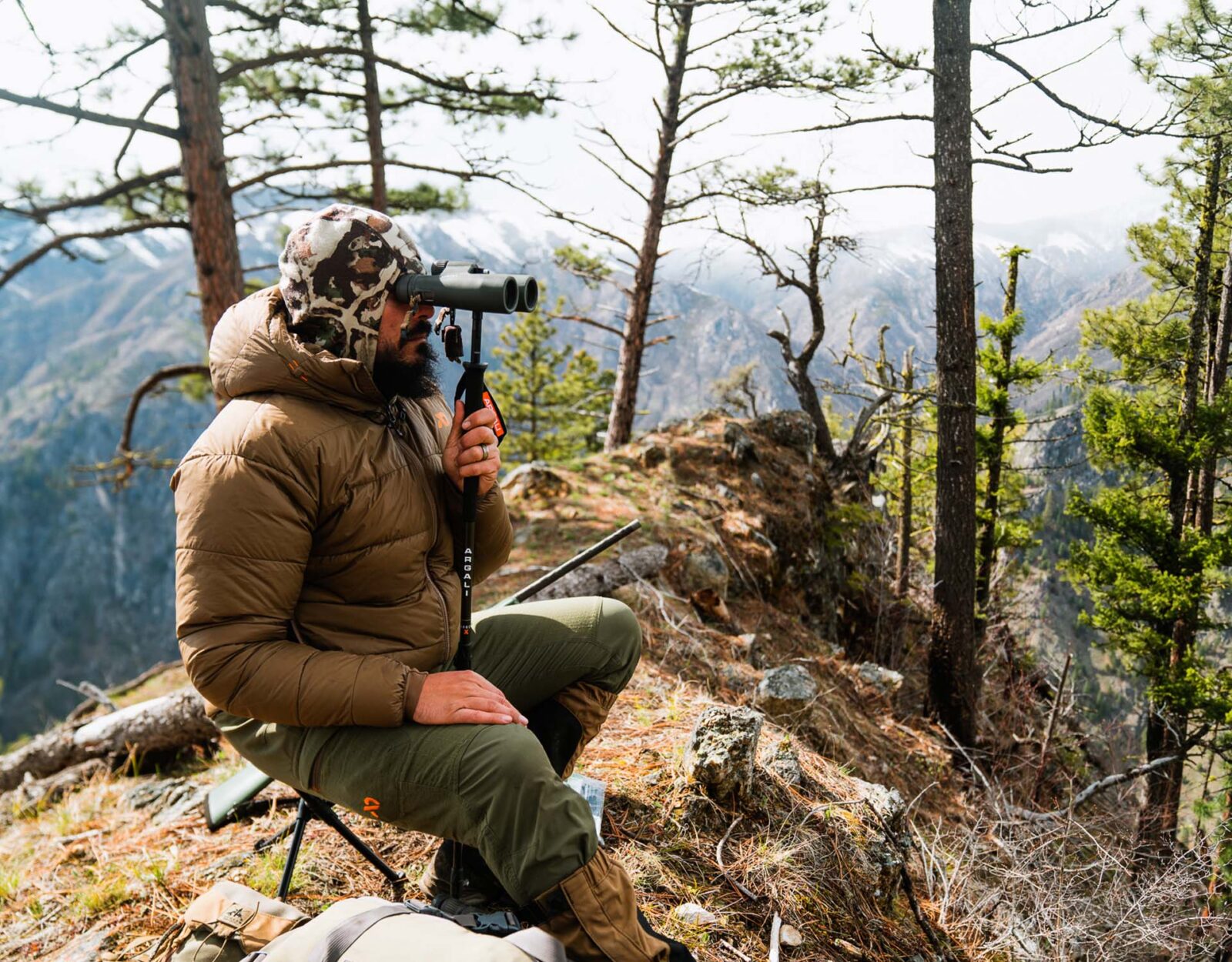
As I’m cataloging these potential feeding areas to focus on, I’m also notating potential glassing points. Areas that are high up offer a commanding view of the country I need to look at. I really like points or peninsula-like features that shoot out from a ridge. These allow for basically a 270-degree view. Cone peaks are also great, as a person can just keep rotating around the peak changing their view of glassing country.
When I’m researching a glassing point, I love to pop my map into 3D Mode once I’ve got some Waypoints marked. The 3D Mode will really shed light on how the terrain is laid out from the perspective of your glassing knob. And to take it a step further, using the Viewshed feature in TerrainX will show me what is visible from any waypoint I have marked. So, there is no guessing before hitting a glassing point. You know what you’re going to be able to see.
Access Points
At this point, we’ve gathered quite a bit of data on where potential hunting areas are located. The next step for me is figuring out how to access these places. In early spring, this is vitally important in the mountain states as snow can impede access to certain areas early on. During that time of year, lower elevation access points—be it a trailhead or just a parking spot off the side of the road—are going to be more reliable. If you’re driving across the country, this is something huge to pay attention to. You don’t want to put all of your stock into an area, not knowing if you’ll be able to access it. On that note, have backup plans in place.
A great way to find out about the potentiality of accessing certain areas is by giving the U.S. Forest Service a call and asking. Nobody can predict what Mother Nature is going to throw at us from year to year, but these folks will have a good idea of what to expect.
Stay In It
Data and a plan are one thing. Pure grit is another. The fact of the matter is, bear hunting can be extremely difficult. From their wary nature to the unrelenting terrain they call home, it’s not for the faint of heart. Because of this, solid e-scouting goes a long way in increasing your chances of having a shot at a bear. It makes for a more efficient, better-prepared hunter, and that, paired with the tenacity to “stay in it,” will lead to success.

Hunting Regs Without the Hassle
Compliance shouldn’t be the hard part. FieldRegs is a free app from the team behind onX Hunt that helps you quickly find hunting regulations, seasons, and legal requirements without digging through agency websites and PDFs. No credit card required.