
Wilderness Areas Map App
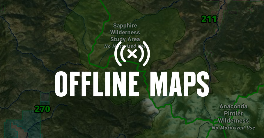
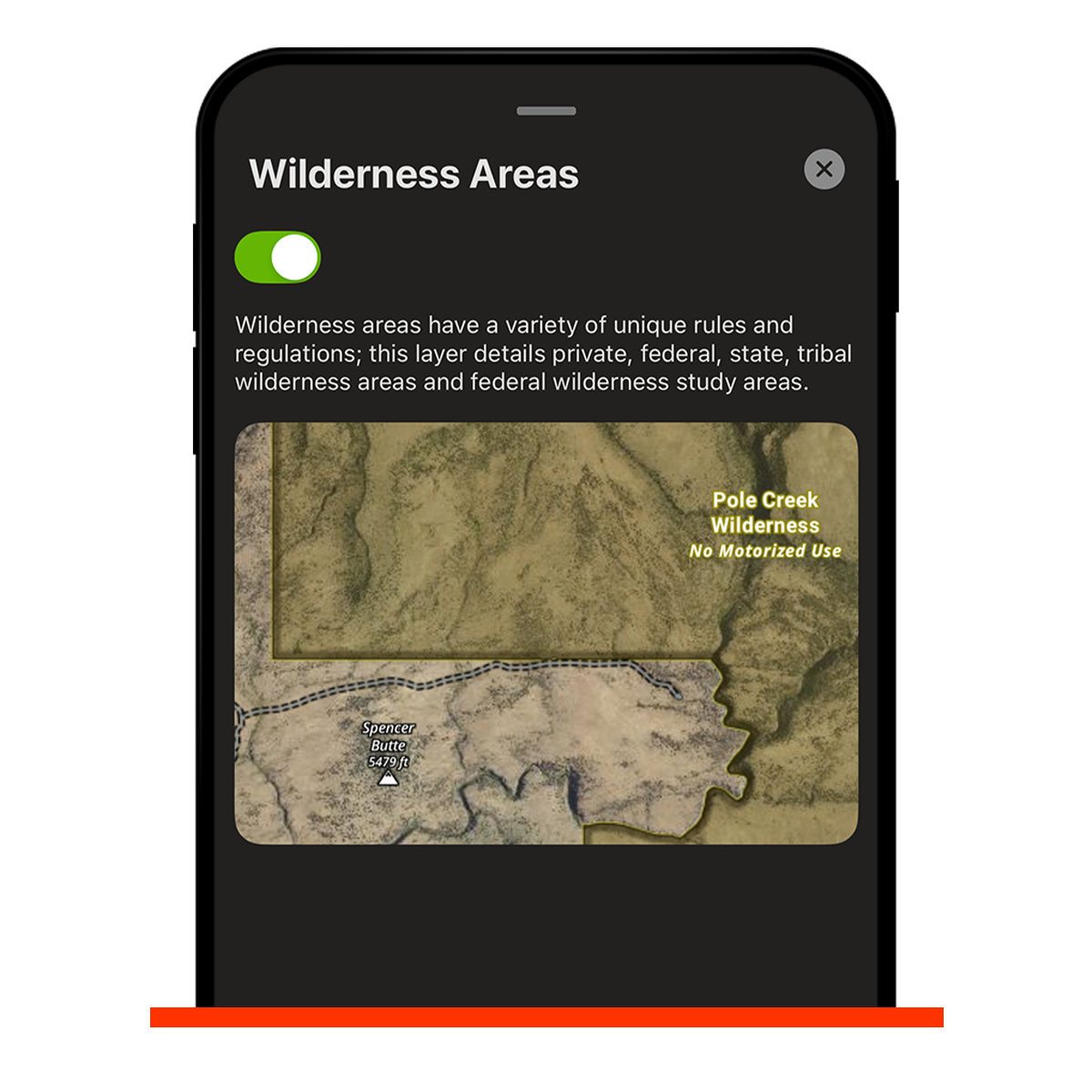
Use onX Hunt’s Wilderness Areas Map Layer to scout and hunt 111+ million acres of designated wilderness areas throughout the U.S.
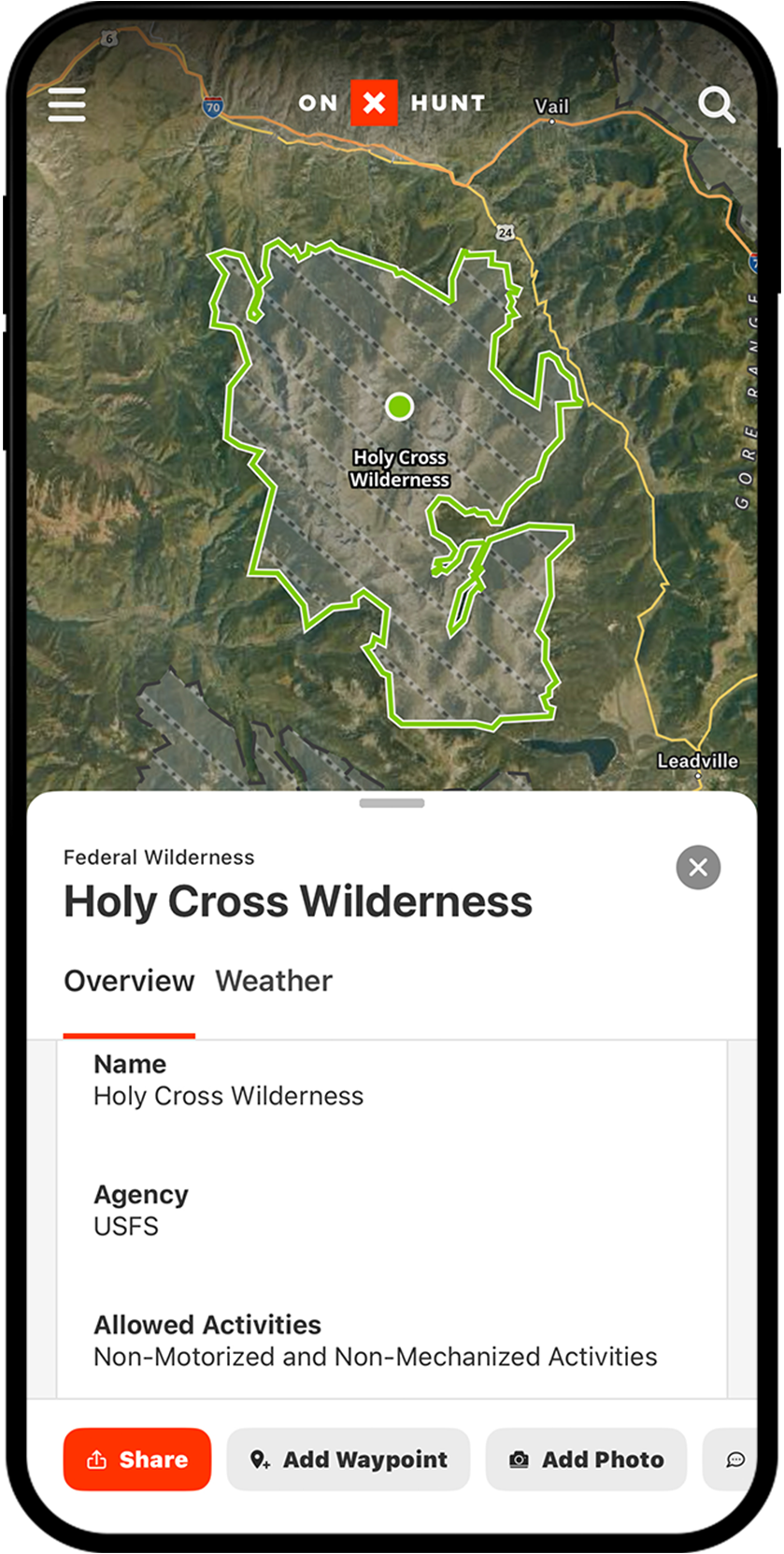

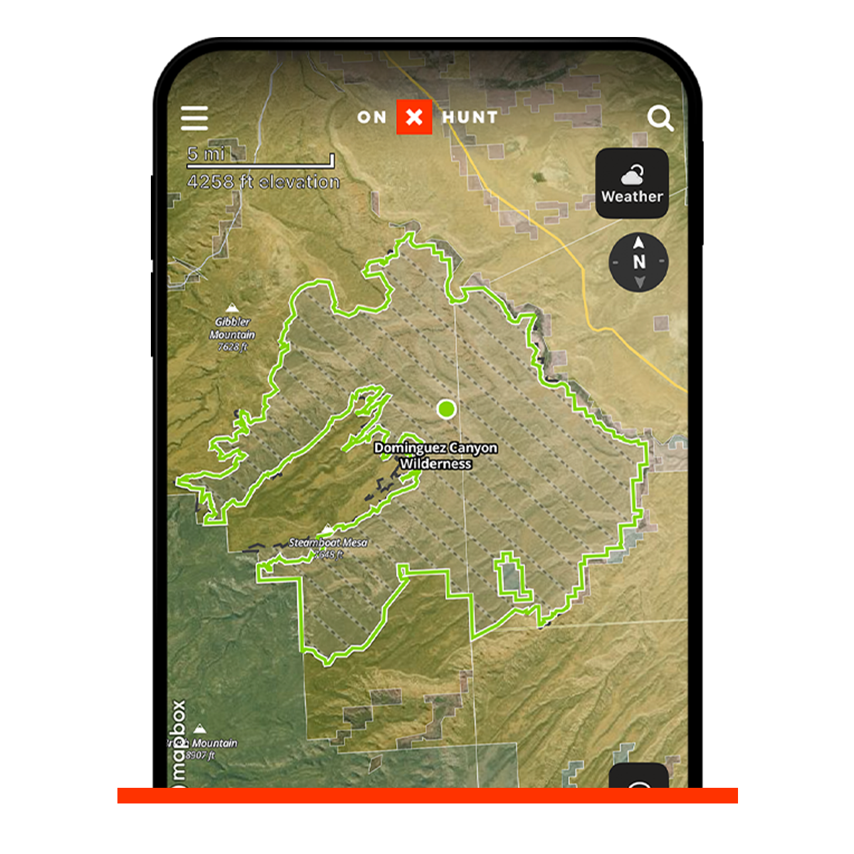
Where the Road Ends: Map Wilderness Areas
Wilderness areas offer a primitive and challenging backcountry hunt due to restrictions on motor vehicles, limited access points, and steep and rugged terrain. onX Hunt’s Wilderness Areas Map Layer helps you get away from the crowd and into game.
Find Reduced Hunting Pressure
Get away from the crowds and find more animals when you break away into wilderness areas. When easily accessible public lands are too busy for your liking and hunting pressure is too high, it’s time to leave the roads behind and head into the wild for solitude. onX’s Wilderness Areas Map Layer can help you find those places.
Avoiding Motorized Access Violations
If you’re near wilderness areas or hunting in and out of a wilderness area boundary, the onX Hunt App helps you clearly understand where you cannot go with a car, side-by-side, e-bike, or bike. These clear boundaries differentiate wilderness areas from private land with clearly marked boundaries.
Even when you’re deep in the wilderness and not having to worry about land ownership boundaries or trespassing, it is imperative to know where you are.
– Brandon Mason, Eastmans’
The Hunt Starts Where the Road Ends
E-scout more than 111 million acres of wilderness.
Frequently Asked Questions
Wilderness areas are federally protected, roadless areas that make up about 4.5% of the United States’ land and can be found in 44 out of 50 states. The Wilderness Act of 1964 created the legal definition of wilderness and paved the path for preservation for generations to come.
Yes, but there are policies you should research before venturing out on your hunt. Wilderness areas prohibit the use of motor vehicles, bikes, game carts, trail cameras, and drones, and it is your responsibility to follow all applicable federal and state restrictions.
Wilderness areas are jointly managed by the Bureau of Land Management, National Park Service, U.S. Forest Service, and the U.S. Fish and Wildlife Service.
Wilderness areas are off limits to all development such as roads or structures, whereas national parks are protected from development but allow construction of roads and structures to facilitate the park.
The Wilderness Areas Map Layer helps you identify wilderness boundaries so you can avoid motorized access violations and find areas with reduced hunting pressure. You can e-scout more than 111 million acres of wilderness directly within the onX Hunt app.
The onX Hunt app clearly marks wilderness area boundaries so you can see exactly where you cannot go with a car, side-by-side, e-bike, or bike, even when navigating in and out of wilderness boundaries.