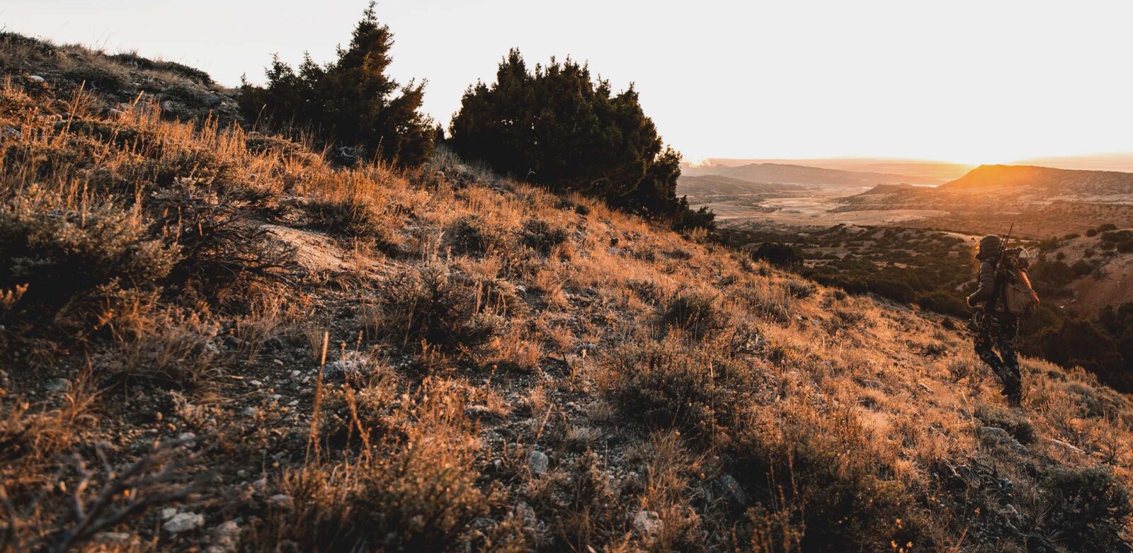

Maps for Hunting BLM Land
Scout more than 245 million acres of public land with onX Hunt’s Bureau of Land Management maps.

Maximize Your Access With BLM Maps
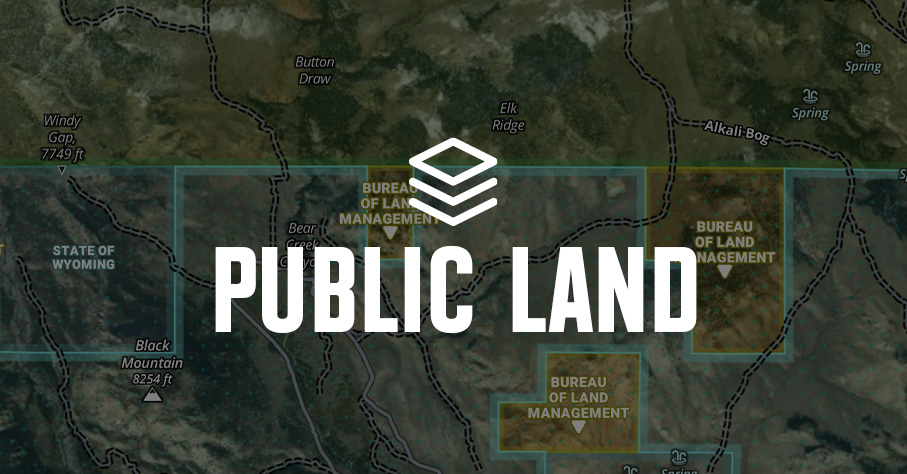
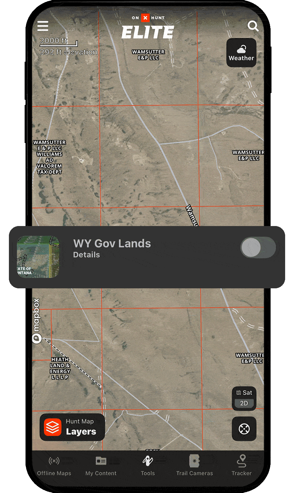
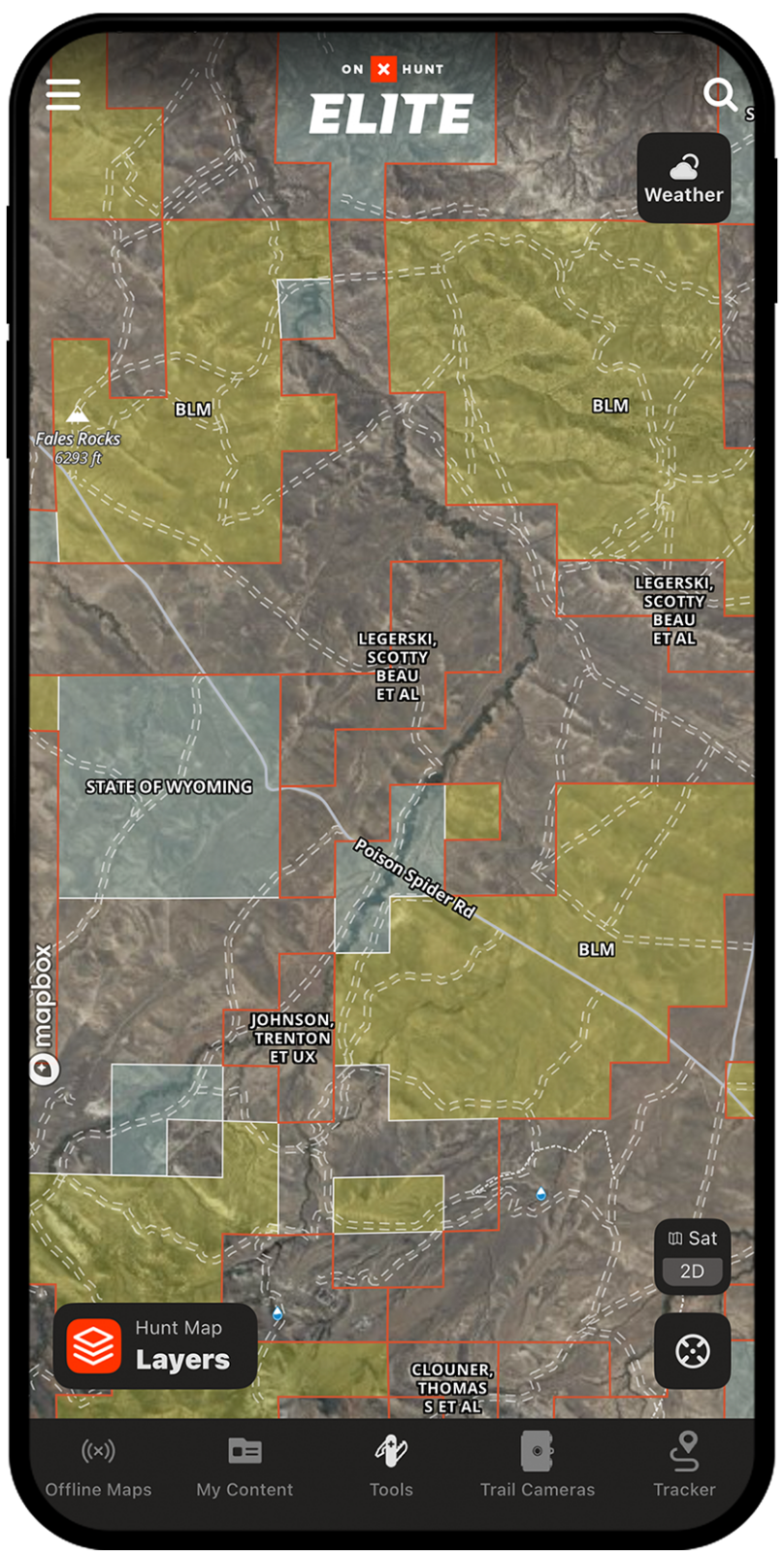
When you turn on the Hunt App’s Government Lands Map Layers, you’ll see Bureau of Land Management (BLM) land shaded in yellow with clearly marked public land boundaries. Whether e-scouting or in the field, onX Hunt’s BLM maps help you make the most of your public lands.
BLM Map Breakdown
Expand Your Hunting Opportunities
onX Hunt’s BLM maps help you uncover new, legal hunting ground you might not know exists. Open up your e-scouting possibilities with millions of acres of easily visible, color-coded BLM land.
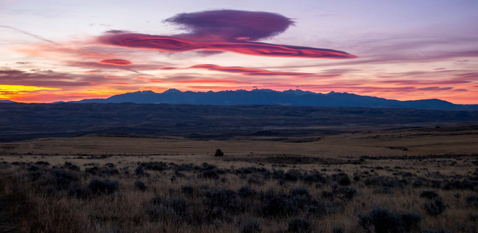
Hunt With Confidence
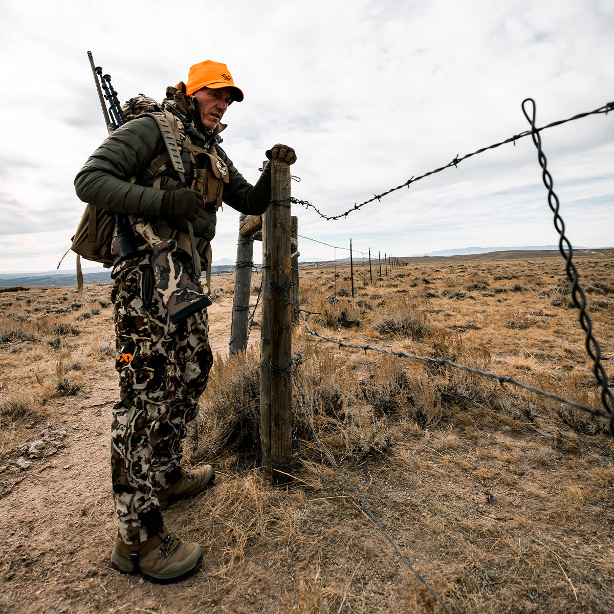
Staying legal in the field is key. The Hunt App’s BLM maps display property boundaries so you can stay on public land, avoid trespassing on private land, and ensure that your hunts are focused on your target, not your footsteps.
Find BLM Land for Hunting Near You
Use the search bar in the upper-right corner to explore nearby BLM land. If you don’t immediately see BLM lands, zoom out until you see yellow shading as indicated in the lower-right legend.
Looking for more details like coordinates and number of acres in the BLM boundary? Create an account and explore deeper details free for seven days.
“We spend a ton of time every year hunting and hiking on our public lands, and the government lands layers in the Hunt App help us quickly identify which type we’re on. Whether it’s BLM, state, forest service, WMAs, etc, there’s different regulations for each, so it’s critical to know exactly where you stand.”
– Jana Waller Bair, Skull Bound TV
GPS Maps for Hunting on BLM Land
Unlock more hunting opportunities with onX Hunt.
Frequently Asked Questions
BLM land is managed by the Department of the Interior and encompasses 245 million acres of public land across the U.S., from Alaska to Florida. It supports recreational activities like hunting, hiking, fishing, and backpacking, and represents 12% of the total U.S. landmass.
BLM land is open to hunting unless otherwise specified, but legal access is required since access through private lands is not guaranteed. Check with your local BLM office each year for rule changes, fire restrictions, and road closures before your hunt.
In the onX Hunt App, BLM land is shaded in yellow when you turn on the Government Lands Map Layers, making it easy to identify during e-scouting. You can also use the search bar to explore nearby BLM land and zoom out if yellow shading is not immediately visible.
Yes, BLM lands are generally open for camping, including RV and primitive camping experiences. After locating a parcel in the onX Hunt App, contact the relevant BLM field office to confirm details before your trip.
The onX Hunt App displays property boundaries so you can clearly see where public land ends and private land begins, helping you avoid trespassing. Different land types like BLM, Forest Service, and state lands each carry different regulations, so knowing exactly where you stand is critical.
Yes, onX Hunt allows you to download maps for offline use, so you can navigate BLM land even in areas without cell service.
In addition to BLM land, the onX Hunt App’s Government Lands Map Layers display National Park Service land, Forest Service land, state lands, and Wildlife Management Areas, each color-coded for easy identification.