
North America’s Most Iconic Trails
Explore legendary backcountry routes with the maps, trail details, and planning tools you need before you go.
Explore legendary backcountry routes with the maps, trail details, and planning tools you need before you go.
The Most Iconic Trails in the US
The routes on this list see over 500,000 visitor days a year — not because we say they’re iconic, but because adventurers keep showing up to attempt them. onX Backcountry maps each one with guidebook-quality descriptions, curated photos, access and permit info, current trail reports, and LiDAR terrain detail that no standard map can match. This is where your trip planning starts.
Explore some of the most iconic trails in the U.S., from rugged mountain routes to remote backcountry classics. Each trail includes the details you need to start planning, including route highlights, terrain insights, access information, and key considerations before you go.
Top Colorado 14ers
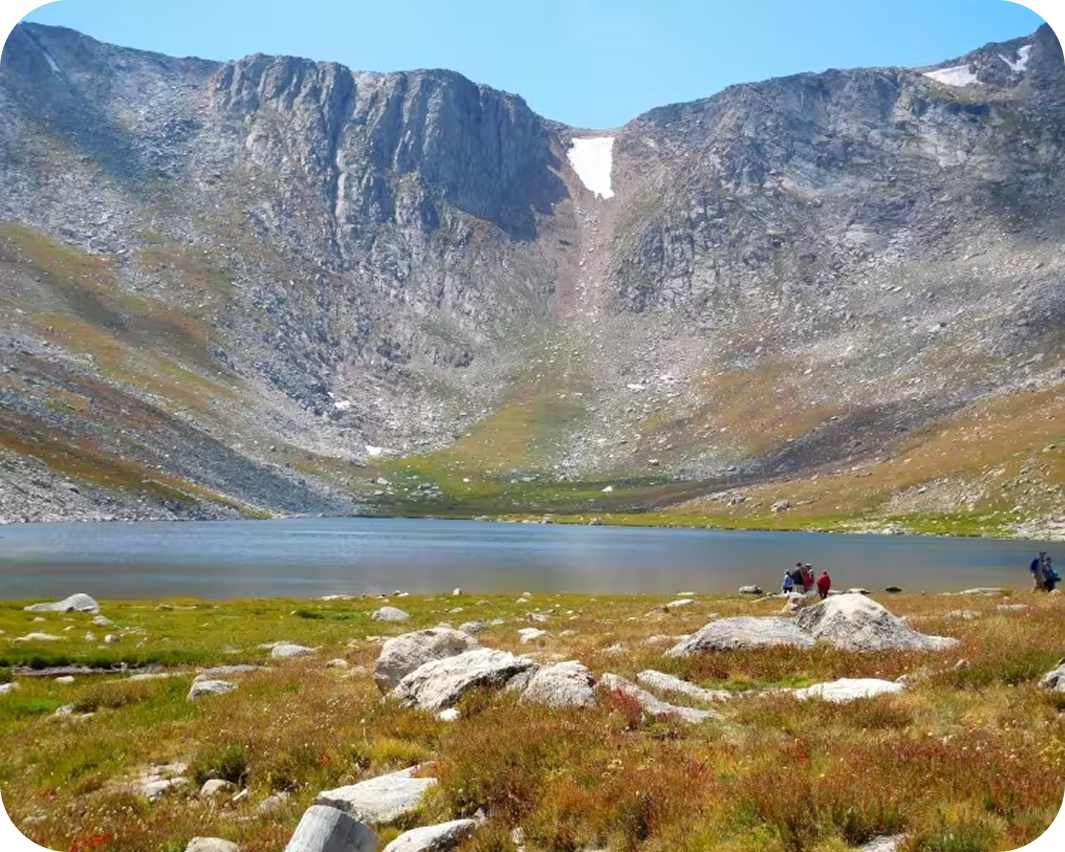

Mount Blue Sky
This trail offers a steep high-alpine climb in just 3.8 miles, gaining 1,691 feet before topping out at 14,182 feet. Learn more about Mount Blue Sky
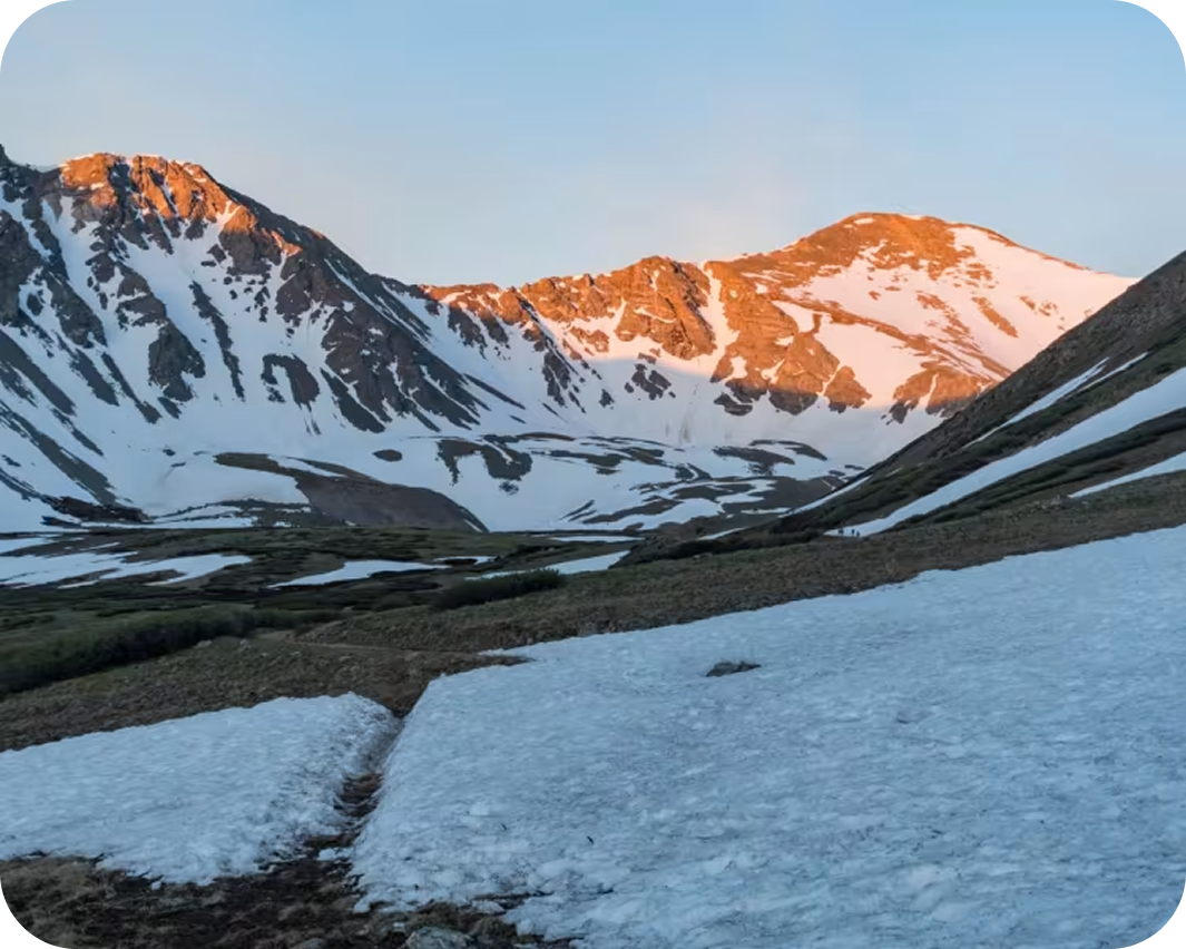
Grays and Torreys Peaks
This route links two iconic Colorado 14ers on an 8-mile route with 3,600 feet of elevation gain and a high point of 14,275 feet. Learn more about Grays and Torreys Peaks.
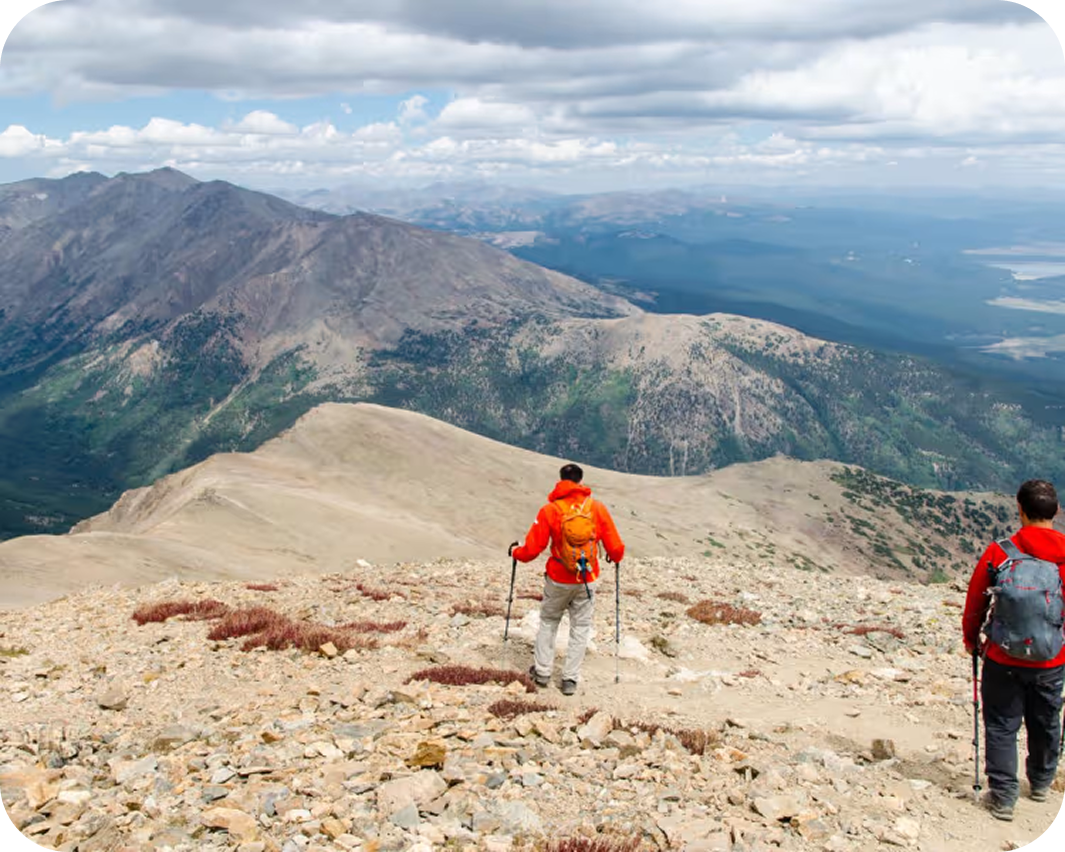

Mount Elbert: Northeast Ridge
Colorado’s highest peak is reached via a 9.8-mile out-and-back hike with 4,447 feet of elevation gain, topping out at 14,436 feet. Learn more about Mount Elbert: Northeast Ridge.
Best National Park Trails
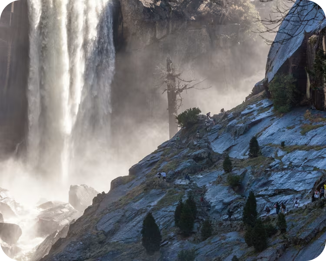

Half Dome via Cables
One of Yosemite’s most iconic summit adventures, climbing 5,338 feet over a 14.2-mile out-and-back route to a high point of 8,836 feet. Learn more about Half Done via Cables.
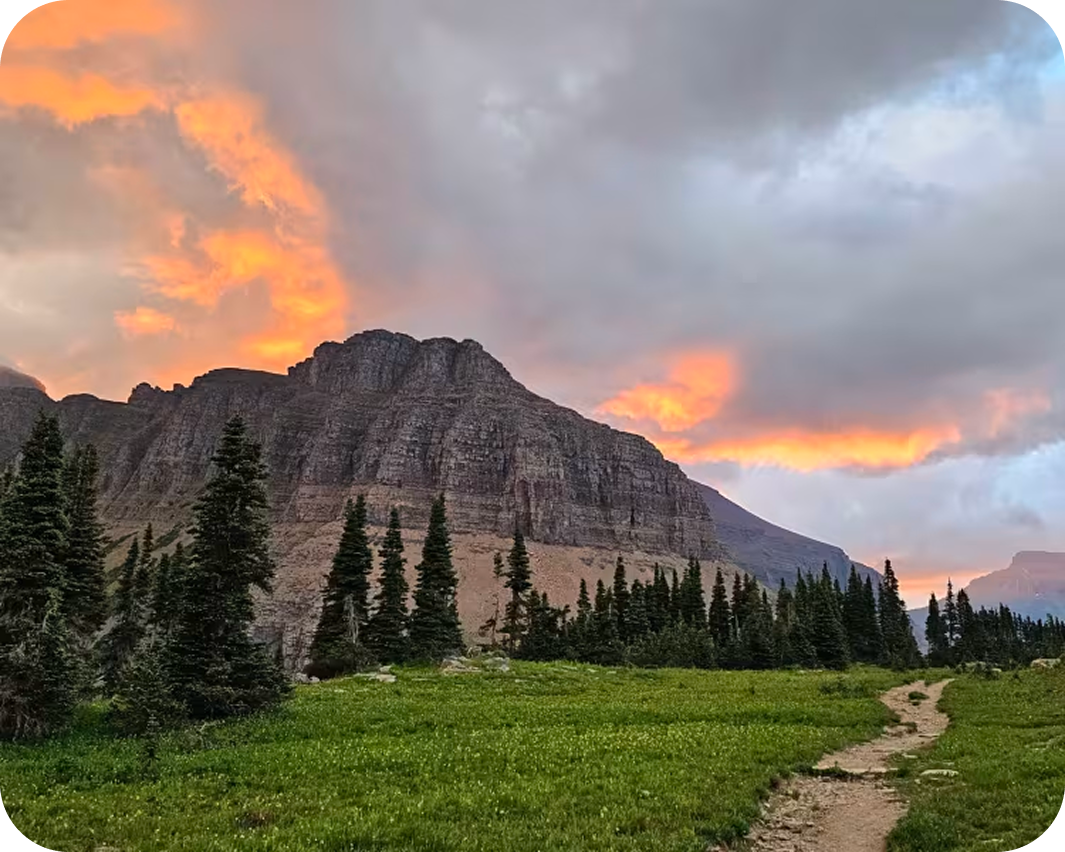


Highline to The Loop
This loop traverses Glacier National Park’s dramatic Garden Wall across 11.4 miles, gaining 1,336 feet and reaching a high point of 7,283 feet. Learn more about Highline to The Loop.
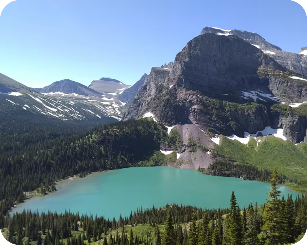
Grinnell Glacier
This short but steep 0.8-mile spur gains 959 feet to a 7,539-foot overlook with sweeping views of Grinnell Glacier and Upper Grinnell Lake. Learn more about Grinnell Glacier.
Ready For Your Next Adventure?
We are building the best all-in-one mapping tool for the outdoor community, and we want you to be part of helping us make it everyone’s go-to map. 60% off for a limited time.

Iconic State High Point Routes
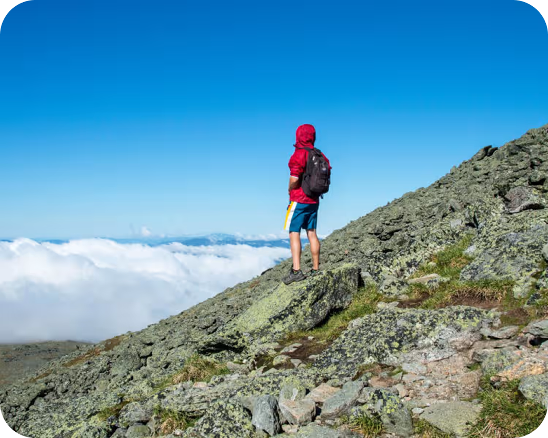

Mount Washington via Tuckerman Ravine Trail
The shortest route to the Northeast’s highest summit climbs 4,243 feet over 7.7 miles, topping out at 6,269 feet on Mount Washington. Learn more about Mount Washington via Tuckerman Ravine Trail.
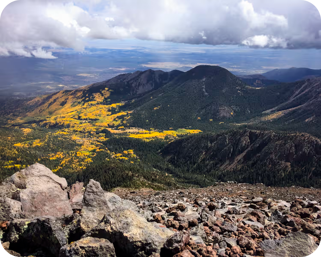

Humphreys Peak
This peak climbs through alpine forest and across an exposed rocky ridge, gaining 3,360 feet over 9.7 miles to Arizona’s 12,634-foot high point. Learn more about Humphreys Peak.
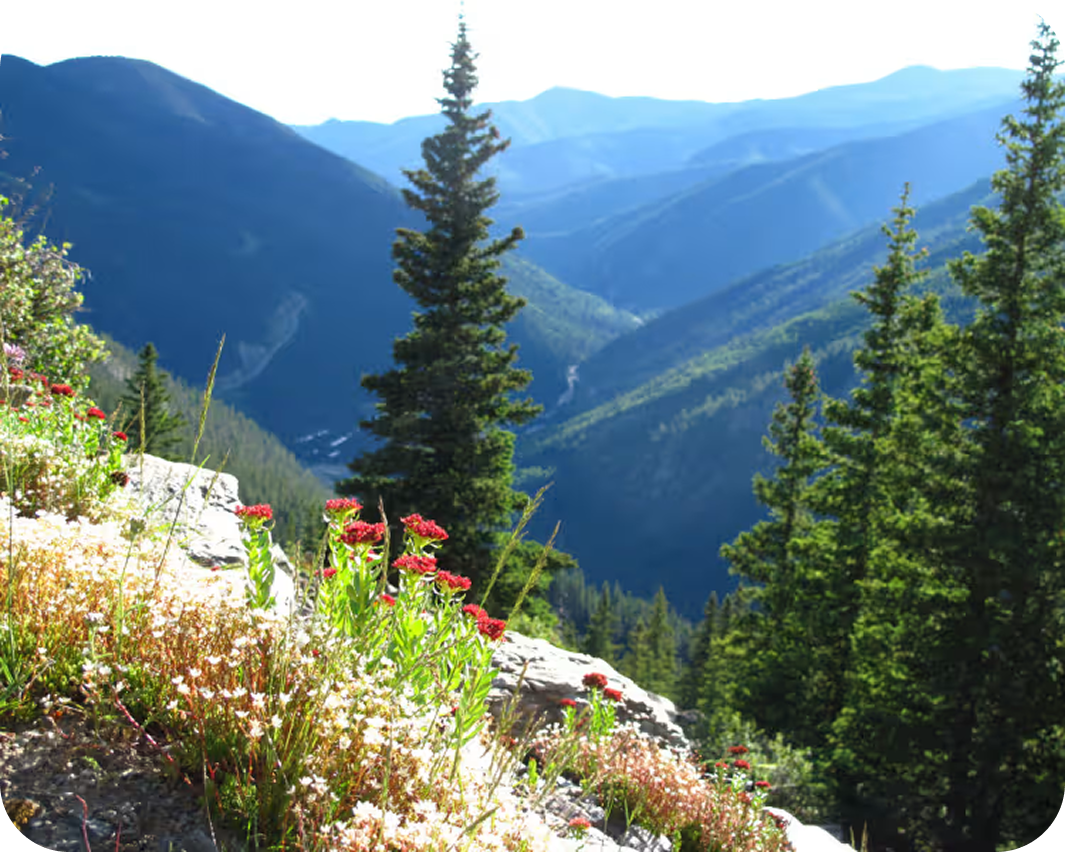

Wheeler Peak via Williams Lake
This rewarding 8.6-mile climb gains 2,994 feet on its way past Williams Lake to New Mexico’s highest summit at 13,156 feet. Learn more about Wheeler Peak via Williams Lake.
Explore More Iconic Trails
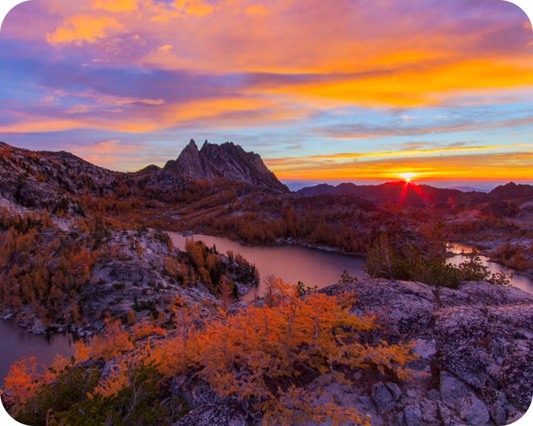
The Enchantments Traverse
One of the most permit-restricted and celebrated alpine routes in the Pacific Northwest, the Enchantments Traverse crosses 18 miles of glacially carved granite above timberline in the Alpine Lakes Wilderness — ascending Aasgard Pass above Colchuck Lake into a sprawling basin of polished slabs, mountain goats, western larches, and a chain of turquoise alpine lakes named for fairy-tale characters. The permits are nearly as famous as the landscape. Plan at least a year out.
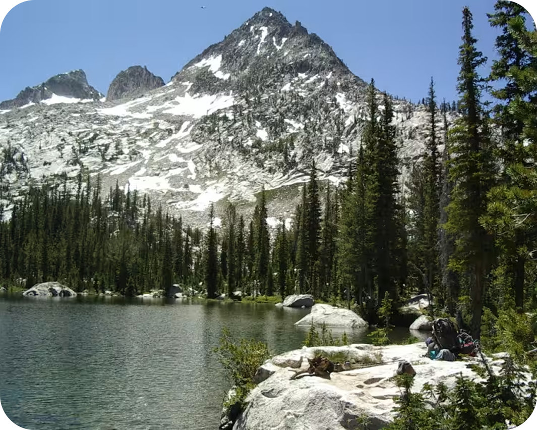
Alice-Toxoway Loop
A multi-day route through the heart of the Sawtooth Wilderness, the Alice-Toxaway Loop strings together alpine lakes, high passes, and creek crossings that define what makes Idaho’s backcountry worth the drive. Beginning and ending at Pettit Lake, the 17-mile circuit moves through terrain that shifts from dense lodgepole forest to open granite basins, with the White Cloud peaks visible across the valley for much of the upper miles. Three days is the natural pace: one night at a lake, one night at another, and a traverse in between that earns every view.
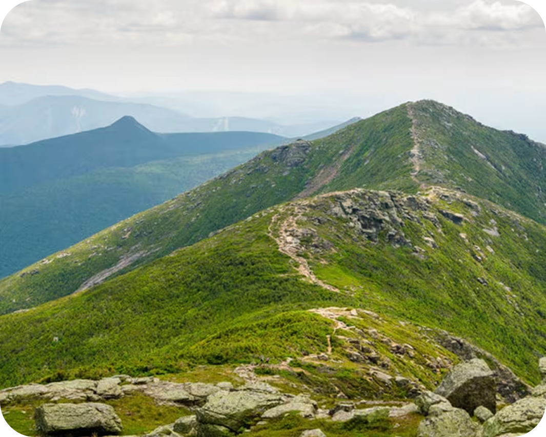
Franconia Ridge Loop
The Franconia Ridge Loop delivers the premier above-treeline ridgeline experience in the White Mountains. A traverse connecting multiple summits along an exposed spine with views east to the Presidential Range and west across the Pemigewasset Wilderness. The loop pairs a steep, waterfall-laced ascent on the Falling Waters Trail with a long, airy ridge walk over Mounts Lincoln and Lafayette before dropping back via the Old Bridle Path. In the White Mountains, this is the route most hikers mean when they talk about what the range can deliver at its best.
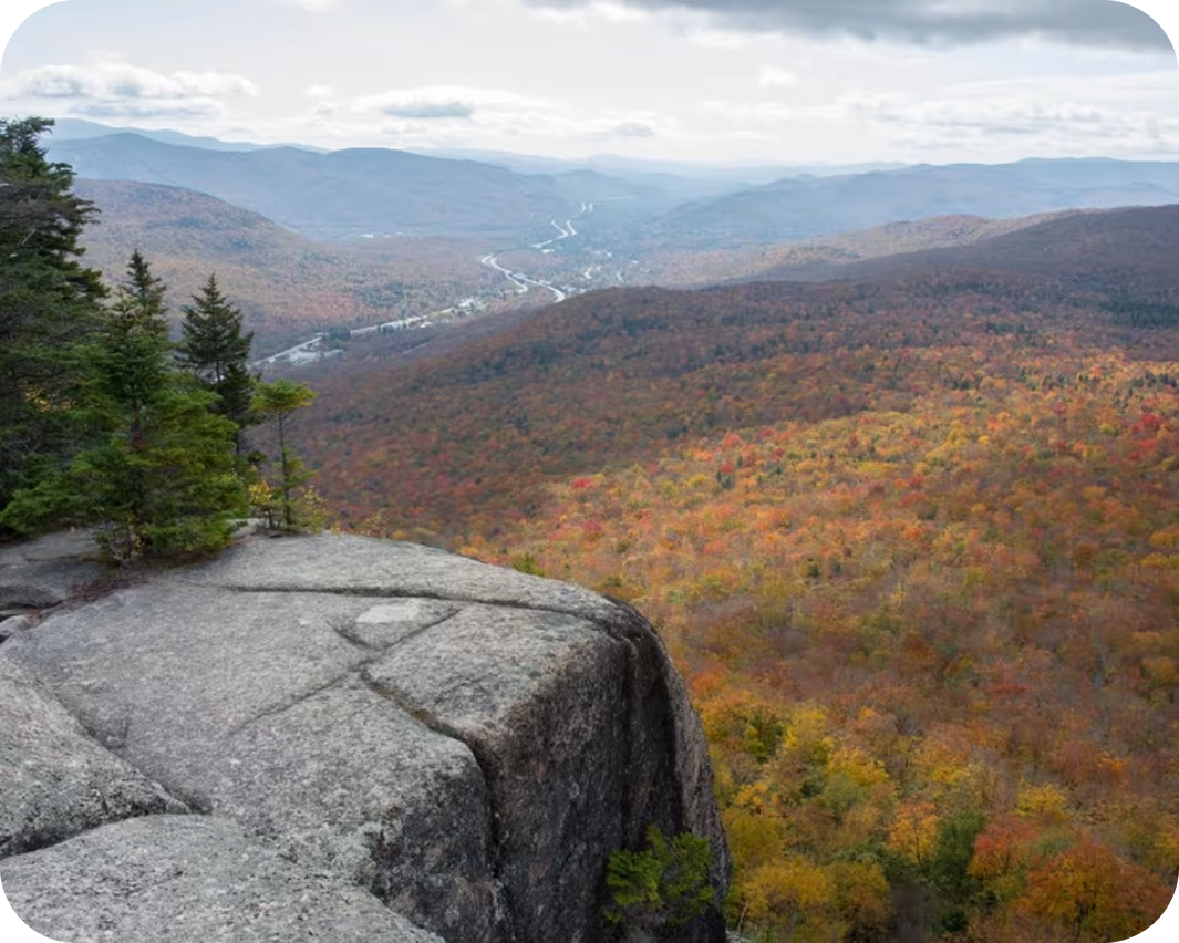
Pemigewasset Loop (AKA Pemi Loop)
The Pemi Loop is one of the great alpine circuits in the northeastern United States — 28.6 miles through the heart of the Pemigewasset Wilderness, connecting 10 summits along two of the most exposed ridgelines in New Hampshire’s White Mountains before returning through a wild river valley on an old railroad grade. The Franconia Ridge alone would justify the drive; the Bond Traverse on the back half earns it twice over.
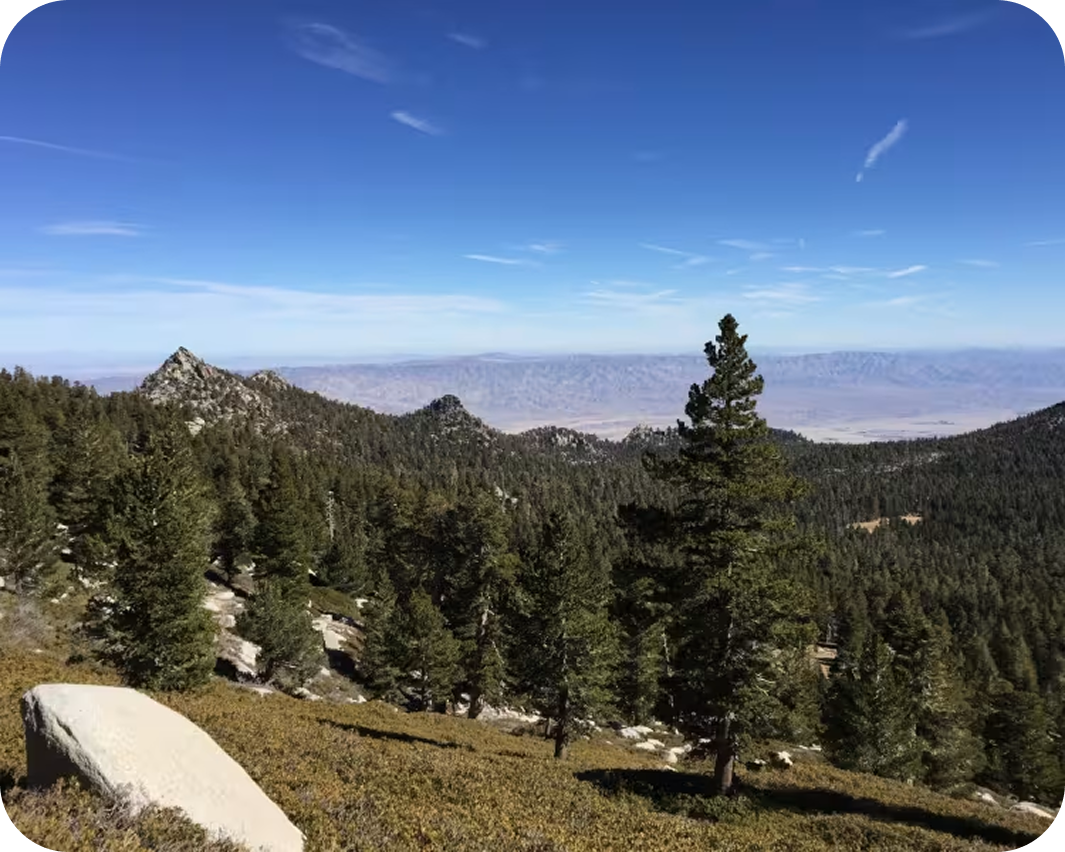
San Jacinto Peak via Tram
The fastest way into the San Jacinto Wilderness — a tram ride to start, followed by a sustained climb through alpine forest to one of the most prominent summits in the contiguous United States.
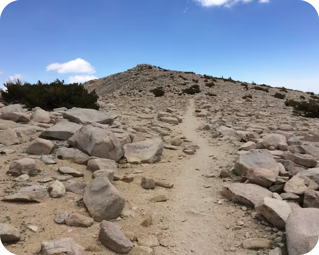
San Gorgonio Peak
The shortest and steepest route to the summit of San Gorgonio Mountain, climbing through pine forests and alpine switchbacks to the highest peak in Southern California.
Iconic Trails Demand Better Maps
onX Backcountry is built for the way the backcountry actually works—where success isn’t a single moment, it’s the sum of a hundred good decisions. Find new terrain, understand what you’re getting into, plan your route with the most detailed maps available, and trust them to be there when you’re deep in and your signal isn’t.

Custom Routes and Waypoints
Mark campsites, water crossings, bail-out points, mushroom patches, or bigfoot sightings with custom icons, colors, and your own images to make sense of your map.

High-Definition 3D Maps Offline
Visualize your route in 3D before you step foot on the trail—and bring that view with you, offline, so you’re never guessing at what’s around the bend.

Rich Recpoint Information
Tap on trailheads, campgrounds, peaks, and waterfalls adjacent to your route to learn more about them.

Slope Angle Shading
Color-coded slope angles show you whether you’re heading for a stroll or a scramble and let you see the steepness of the terrain.

Weather & Conditions
Real-time weather gives you the environmental awareness to know when to push on and when to turn back.

Land Ownership & Access
Understand exactly where you can go, camp, or cross with comprehensive public/private land boundary data—built on the same industry-leading ownership database behind onX Hunt.
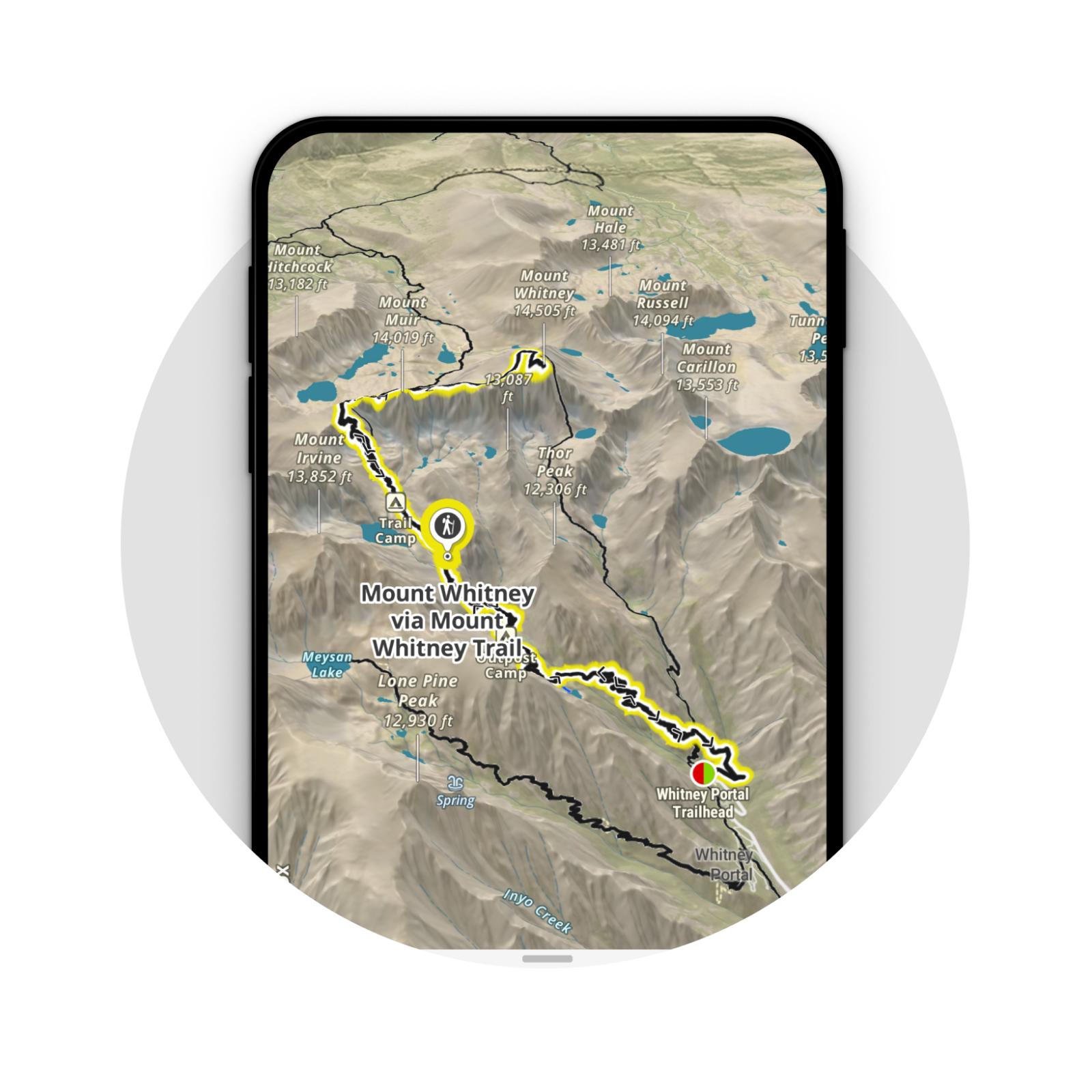
Plan
Guidebook-quality route descriptions, curated photos, elevation profiles, and distance and difficulty stats — paired with 3D terrain visualization so you can walk the route before you ever leave home.
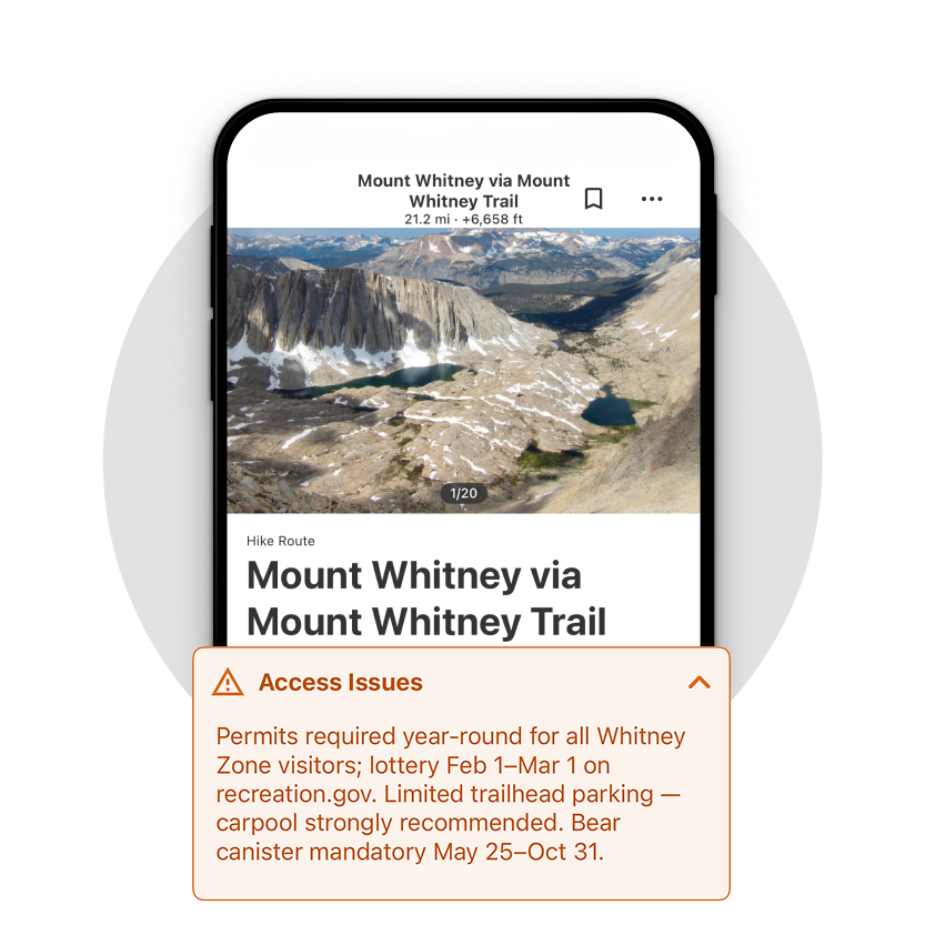
Know Before You Go
Current trail reports, trailhead access conditions, permit requirements, and 7-day weather forecasts pulled directly into the app — so you know exactly what you’re traveling into.
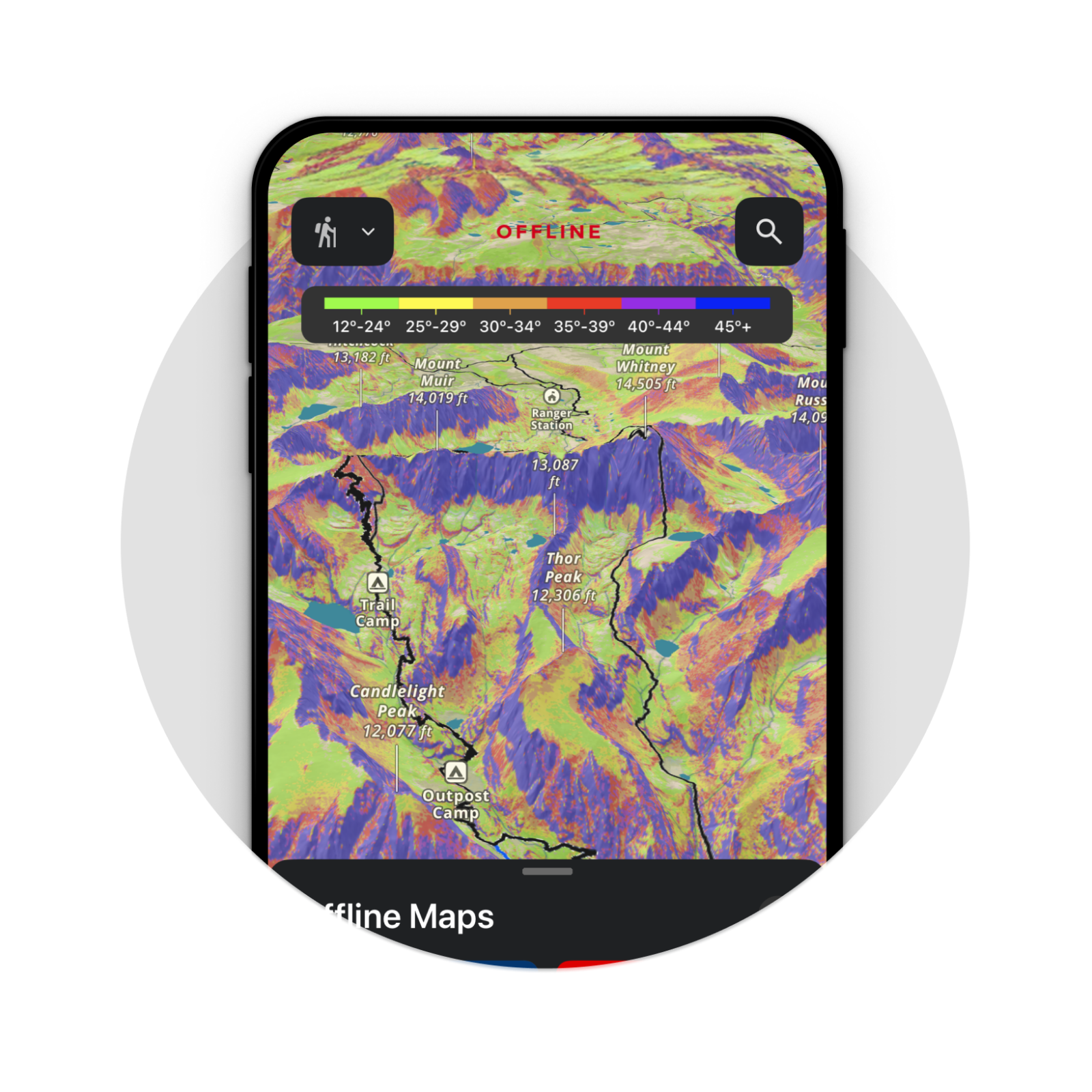
Navigate
Your route loaded onto 3D LiDAR topo maps with slope angle shading and land ownership data. Download offline before you head out — no cell signal required.