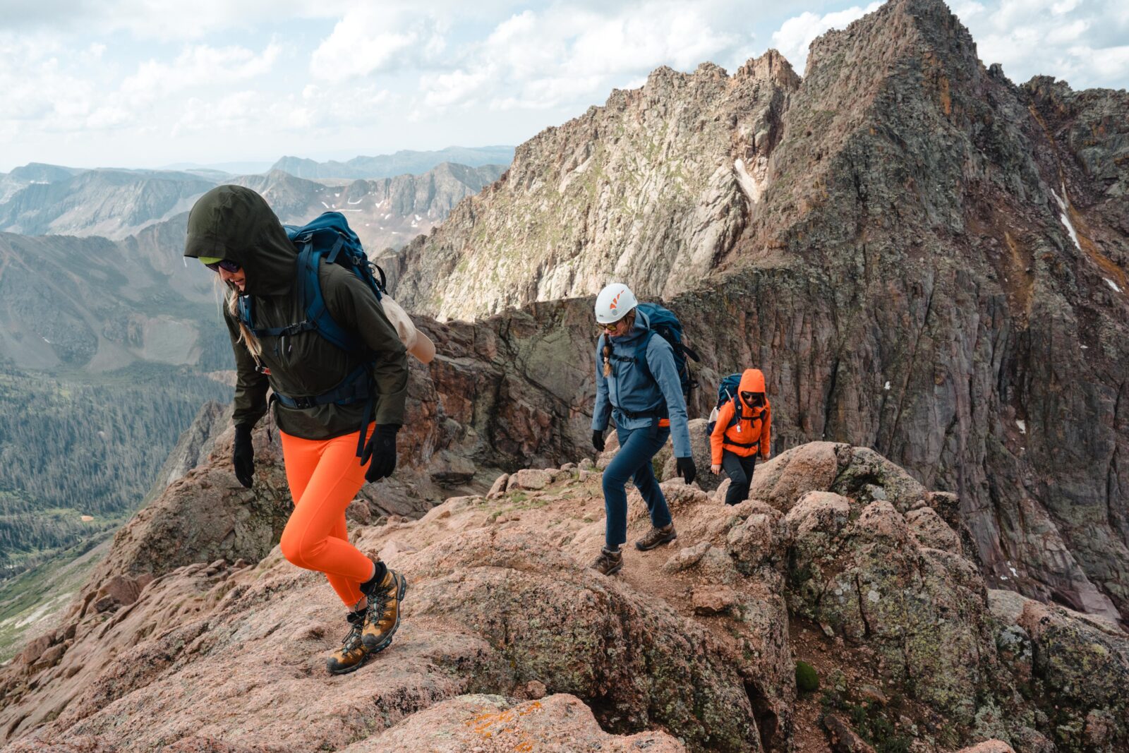

Iconic Hiking Trails: Colorado 14ers
Explore legendary Colorado 14ers with the maps, trail details, and planning tools you need before you go.
Explore legendary Colorado 14ers with the maps, trail details, and planning tools you need before you go.

Top Colorado 14ers
Explore Colorado’s most iconic 14ers, from approachable summit hikes to challenging alpine routes that demand experience and preparation. Compare trail distances, elevation gain, difficulty, access details, and route highlights to find the right peak and start planning your climb with onX Backcountry. Explore more iconic hiking trails, including popular routes in national parks.
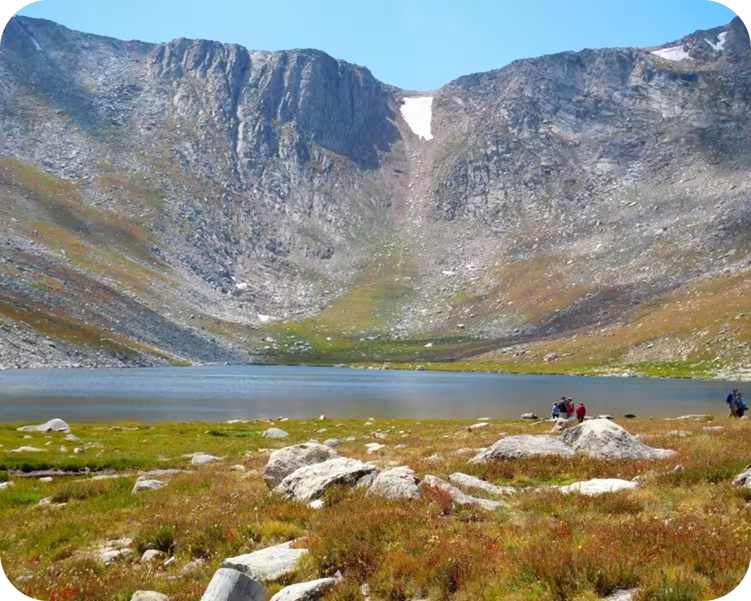

Mount Blue Sky
The Mount Blue Sky Loop starts where most hikes end — at 12,827′, above timberline, with a fourteener summit already in view. The route links Mount Spalding and Mount Blue Sky in a compact 3.8-mile circuit that returns via the northeast face rather than retracing the ridge, giving both peaks without the re-climb. Learn more about Mount Blue Sky.
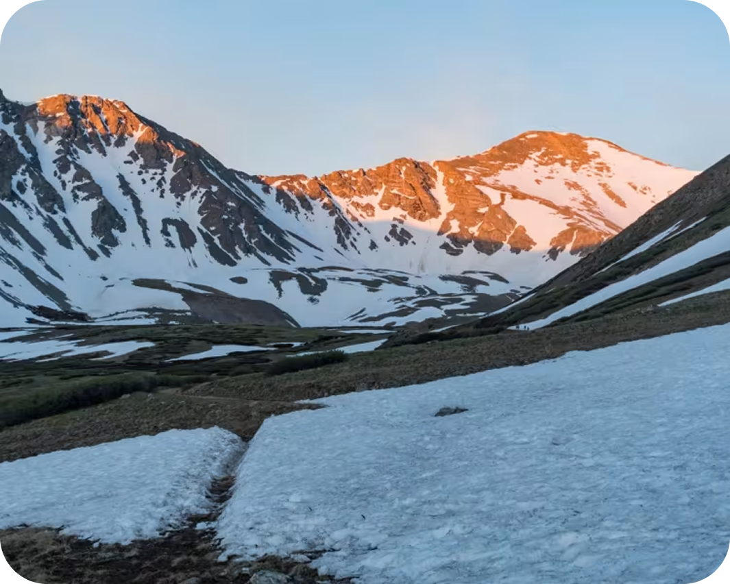
Grays and Torreys Peaks
Two fourteeners on the Continental Divide, side by side and close enough in elevation to summit both in a single day. Grays at 14,270′ and Torreys at 14,275′ are separated by a short saddle-to-summit push that makes bagging the pair a natural objective from the Stevens Gulch trailhead. The well-maintained trail and relatively forgiving terrain make this one of the most approachable high-summit routes in Colorado, though the altitude, distance, and exposure still demand respect. Learn more about Grays and Torreys Peaks.
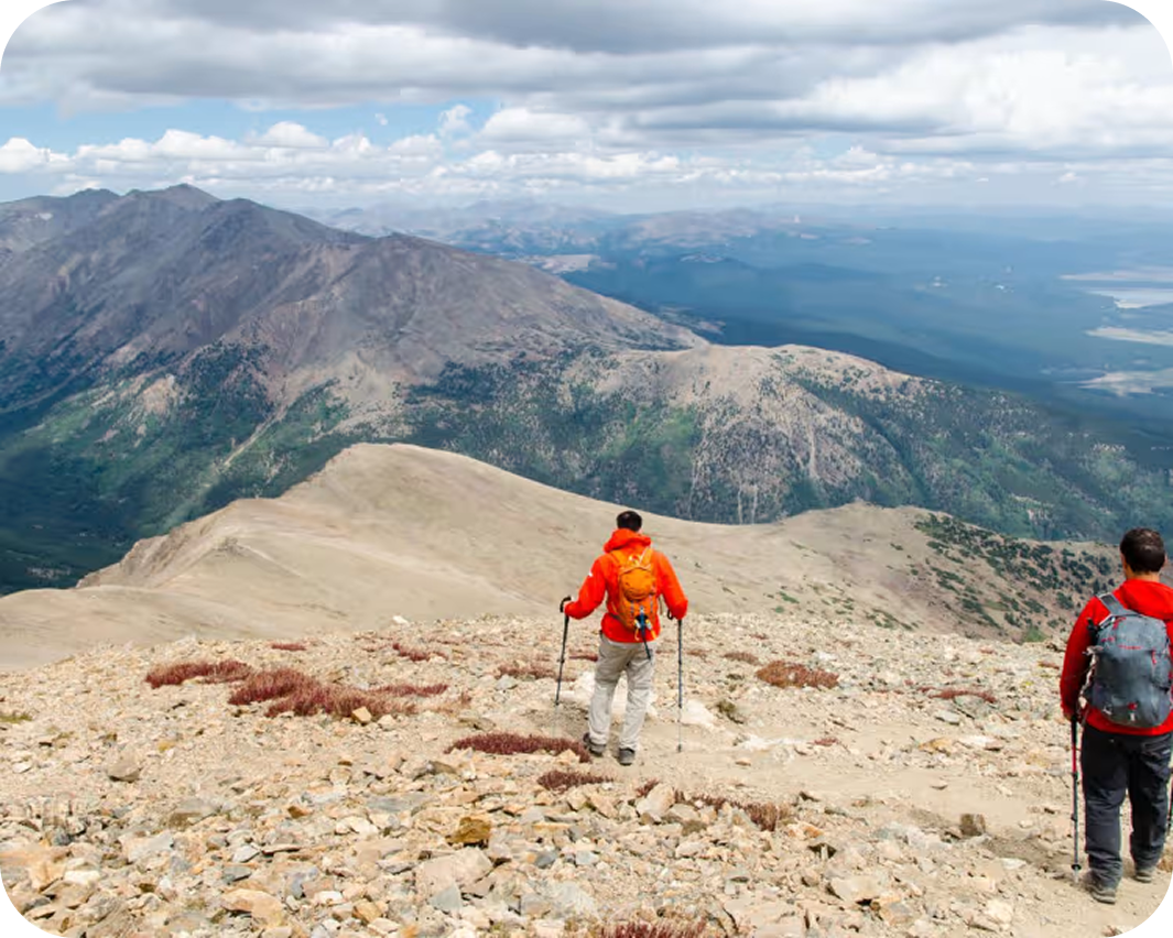

Mount Elbert: Northeast Ridge
Mount Elbert is the highest peak in Colorado and the second highest in the lower 48 It is not technical, not remote, and not mysterious. What it is: a well-built trail that climbs steadily through spruce forest and then along a broad open ridge to a summit that puts the entire Sawatch Range beneath your feet. If you are going to climb one 14er, climb this one. Learn more about Mount Elbert: Northeast Ridge.
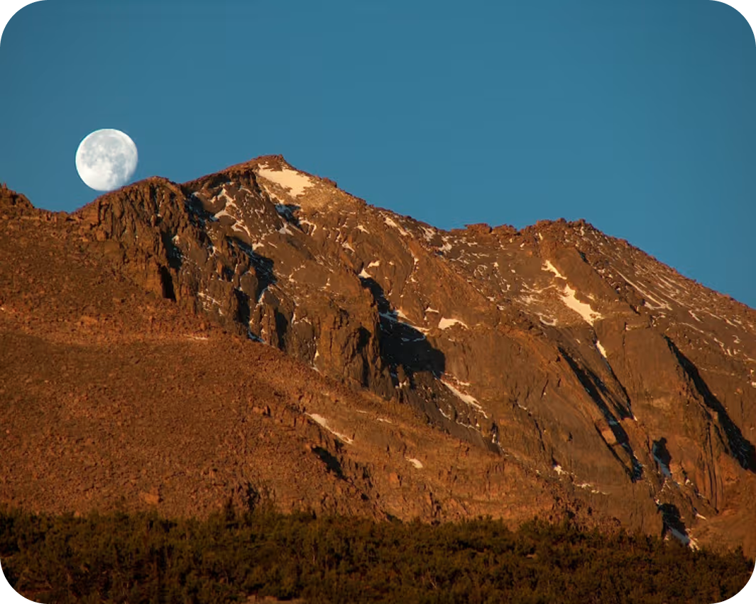
Longs Peak– Keyhole Route
The Keyhole Route on Longs Peak earns its reputation not through trail miles alone but through the abrupt shift in character that occurs at 13,000′ where the maintained path ends, the Keyhole opens onto exposed terrain, and the upper mountain demands full attention. Colorado’s northernmost fourteener, Longs rises above the high plains with a flat-topped profile recognizable across the entire Front Range. Expect an early-morning start, Class 3 scrambling on the Ledges, Narrows, and Homestretch, and a full day committed to one of Colorado’s most sought-after summits. Learn more about Longs Peak-Keyhole Route.
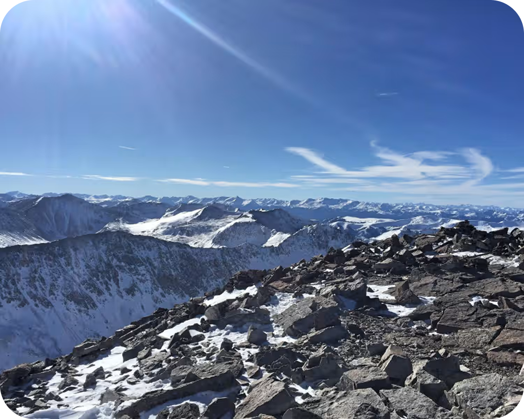
Quandary Peak -East Ridge
Quandary Peak’s East Ridge is one of the most-climbed fourteener routes in Colorado. A long, above-timberline grind up a broad, well-defined ridge that puts a 14,268′ summit within reach of any hiker who can manage 3,450 vertical feet. The Tenmile Range dominates in every direction on the upper ridge, and the mountain’s demand is honest: fitness and weather awareness are required. Learn more about Quandary Peak.
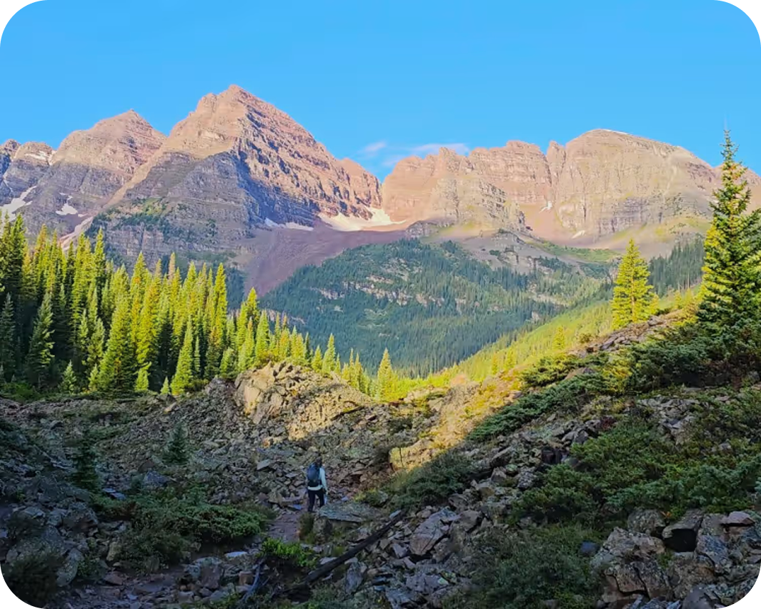
Maroon Bells Four Pass Loop
The Four Pass Loop is one of the defining wilderness circuits in the American West — a 26.3-mile route in the Maroon Bells-Snowmass Wilderness that crosses four alpine passes above 12,000′, circumnavigates the Maroon Bells massif through four distinct drainages, and puts you under the flanks of five fourteeners without requiring you to summit any of them. It is Colorado’s most celebrated backpacking loop and a legitimate single-day running objective in the same breath. Permits sell out months in advance, the scenery justifies every bureaucratic hurdle. Learn more about Maroon Bells Four Pass Loop.
Iconic Trails Demand Better Maps
onX Backcountry is built for the way the backcountry actually works—where success isn’t a single moment, it’s the sum of a hundred good decisions. Find new terrain, understand what you’re getting into, plan your route with the most detailed maps available, and trust them to be there when you’re deep in and your signal isn’t.

Custom Routes and Waypoints
Mark campsites, water crossings, bail-out points, mushroom patches, or bigfoot sightings with custom icons, colors, and your own images to make sense of your map.

High-Definition 3D Maps Offline
Visualize your route in 3D before you step foot on the trail—and bring that view with you, offline, so you’re never guessing at what’s around the bend.

Rich Recpoint Information
Tap on trailheads, campgrounds, peaks, and waterfalls adjacent to your route to learn more about them.

Slope Angle Shading
Color-coded slope angles show you whether you’re heading for a stroll or a scramble and let you see the steepness of the terrain.

Weather & Conditions
Real-time weather gives you the environmental awareness to know when to push on and when to turn back.

Land Ownership & Access
Understand exactly where you can go, camp, or cross with comprehensive public/private land boundary data—built on the same industry-leading ownership database behind onX Hunt.