Iconic Hiking Trails: State High Points
Explore legendary state high point routes with the maps, trail details, and planning tools you need before you go.
Explore legendary state high point routes with the maps, trail details, and planning tools you need before you go.
Iconic State High Point Routes


Mount Washington via Tuckerman Ravine Trail
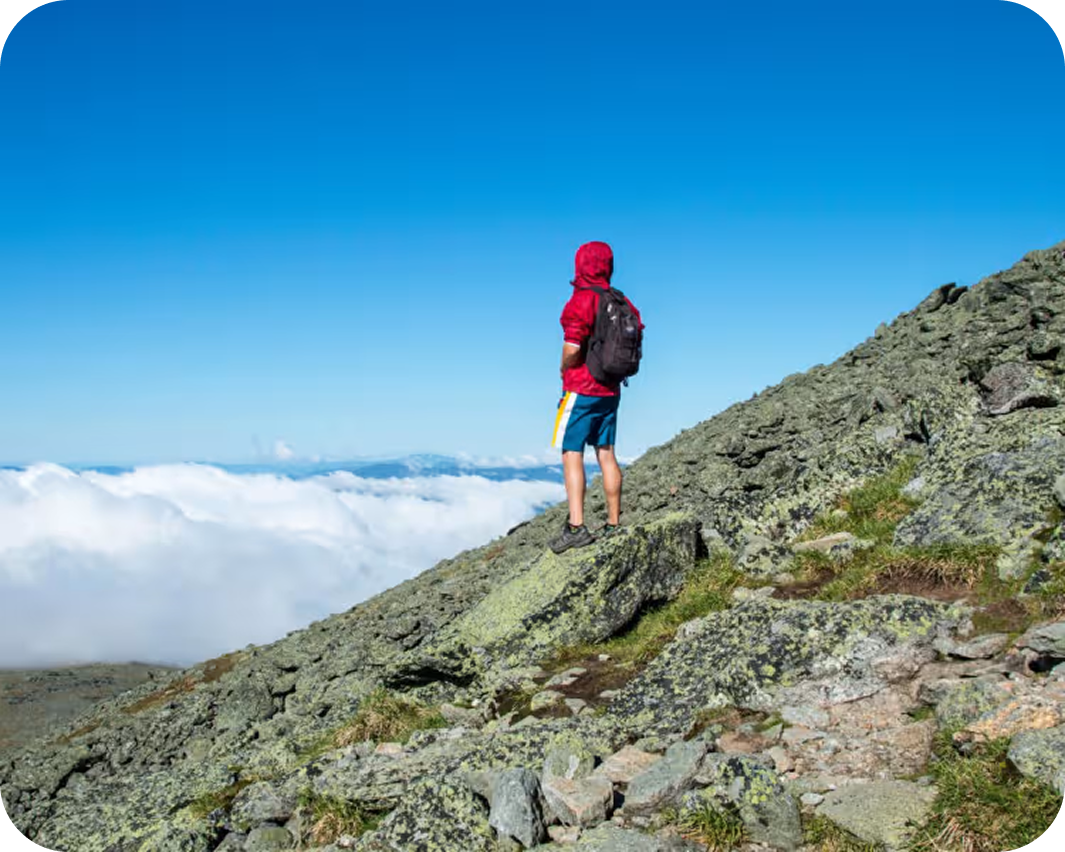
This is the shortest route to the highest summit in the northeastern United States — climbing from Pinkham Notch through old-growth forest, past Hermit Lake, and up the exposed boulder headwall of Tuckerman Ravine to the top of Mount Washington. Learn more about Mount Washington via Tuckerman Ravine Trail.
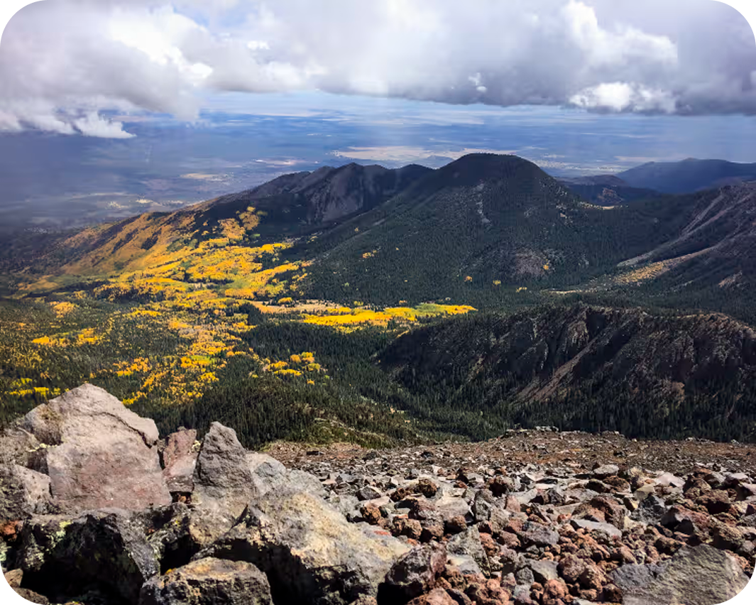

Humphreys Peak
At 12,633′, Humphreys Peak is the highest point in Arizona and the only place in the state where the landscape climbs above timberline into a true alpine zone. The summit ridge of the San Francisco Peaks delivers views that stretch from the rim of the Grand Canyon to the Painted Desert, a panorama that reflects how singularly this volcanic massif rises above the surrounding plateau. Afternoon monsoon thunderstorms through the summer months demand an early start and a committed turnaround time. Learn more about Humphreys Peak.
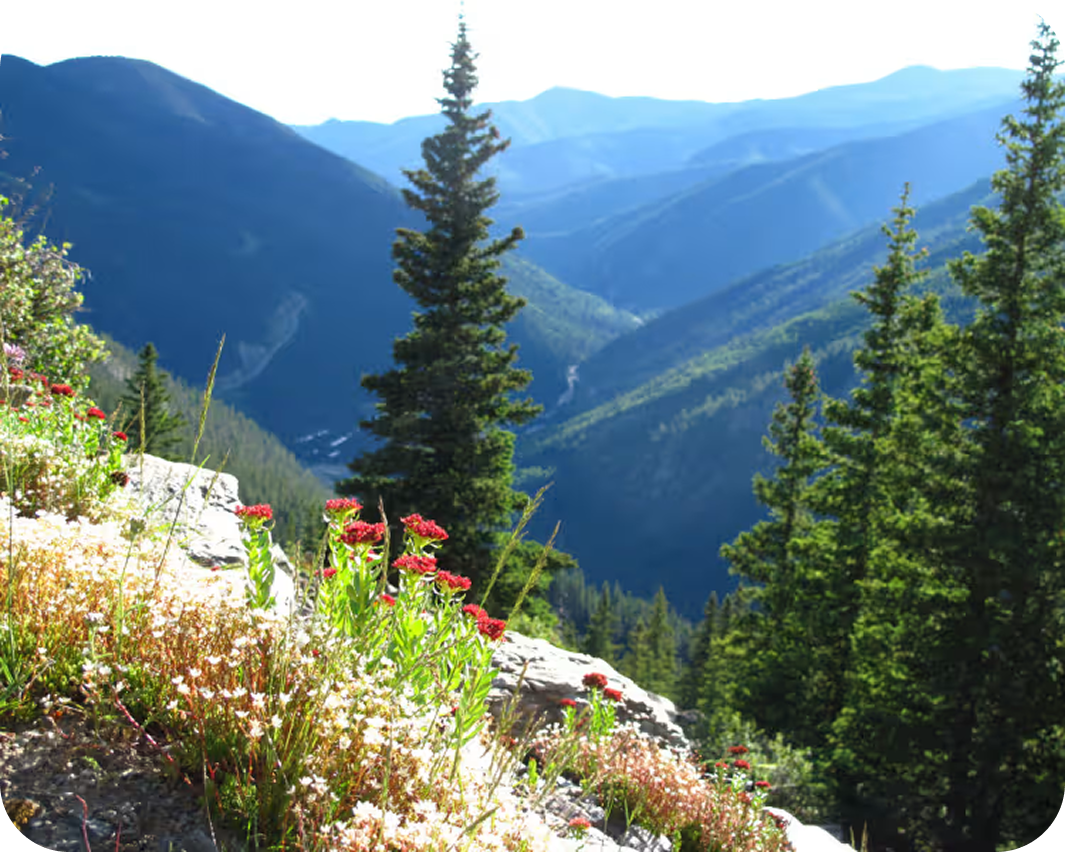

Wheeler Peak via Williams Lake
This route is a challenging and rewarding high-altitude climb to the highest summit in New Mexico, featuring a pristine alpine basin, a glacial lake, and expansive 360-degree views of the Sangre de Cristo Mountains. Learn more about Wheeler Peak via Williams Lake.


Mount Whitney via Whitney Trail
The standard non-technical route to the highest summit in the contiguous United States, the Mount Whitney Trail climbs more than 6,100 vertical feet over 10.7 miles of well-maintained trail from Whitney Portal to the 14,505′ top. It demands serious fitness, careful pacing, and respect for altitude, rewarding hikers with a summit that sits at the southern end of the John Muir Trail, with the full spine of the Sierra Nevada stretching north. Permits are among the most competitive in the country, and earning one is the first obstacle on the way up. Learn more about Mount Whitney via Whitney Trail.
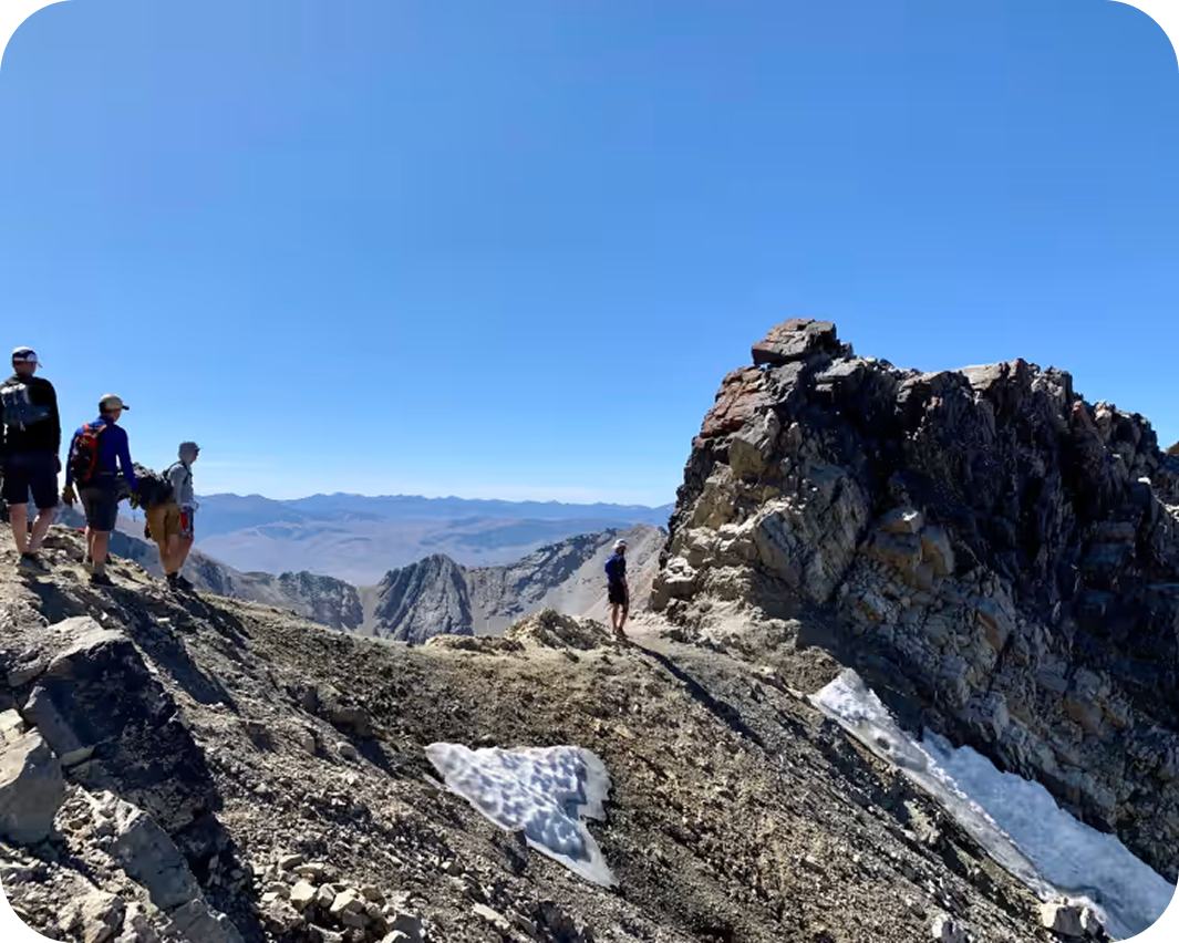

Borah Peak
Borah Peak earns Idaho’s highpoint designation through a direct, unrelenting ascent that climbs nearly a vertical mile in four miles and then asks for more on Chicken-Out Ridge, an exposed Class 3 scramble that separates those who reach the 12,662′ summit from those who turn around short of it. The Lost River Range is isolated country, and Borah has the character of a peak that hasn’t been made easy for anyone who comes to climb it. Learn more about Borah Peak.
Iconic Trails Demand Better Maps
onX Backcountry is built for the way the backcountry actually works—where success isn’t a single moment, it’s the sum of a hundred good decisions. Find new terrain, understand what you’re getting into, plan your route with the most detailed maps available, and trust them to be there when you’re deep in and your signal isn’t.

Custom Routes and Waypoints
Mark campsites, water crossings, bail-out points, mushroom patches, or bigfoot sightings with custom icons, colors, and your own images to make sense of your map.

High-Definition 3D Maps Offline
Visualize your route in 3D before you set foot on the trail—and bring that view with you, offline, so you’re never guessing at what’s around the bend.

Rich Recpoint Information
Tap on trailheads, campgrounds, peaks, and waterfalls adjacent to your route to learn more about them.

Slope Angle Shading
Color-coded slope angles show you whether you’re heading for a stroll or a scramble and let you see the steepness of the terrain.

Weather & Conditions
Real-time weather gives you the environmental awareness to know when to push on and when to turn back.

Land Ownership & Access
Understand exactly where you can go, camp, or cross with comprehensive public/private land boundary data—built on the same industry-leading ownership database behind onX Hunt.