South Fork Ridge (MT13)
Total Miles
5.3
Technical Rating
Best Time
Fall, Summer
Trail Type
50" Trail
Accessible By
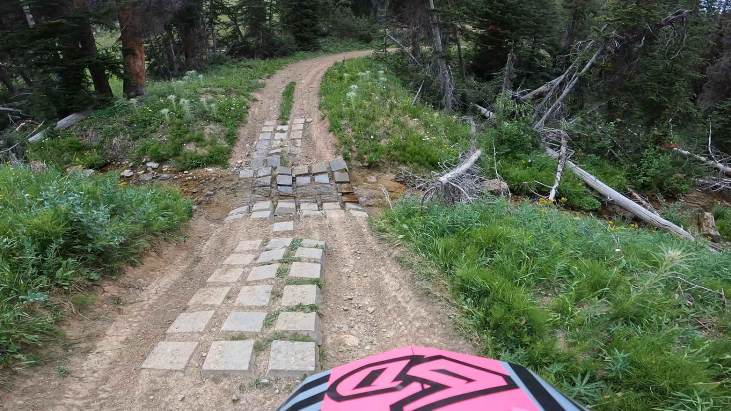
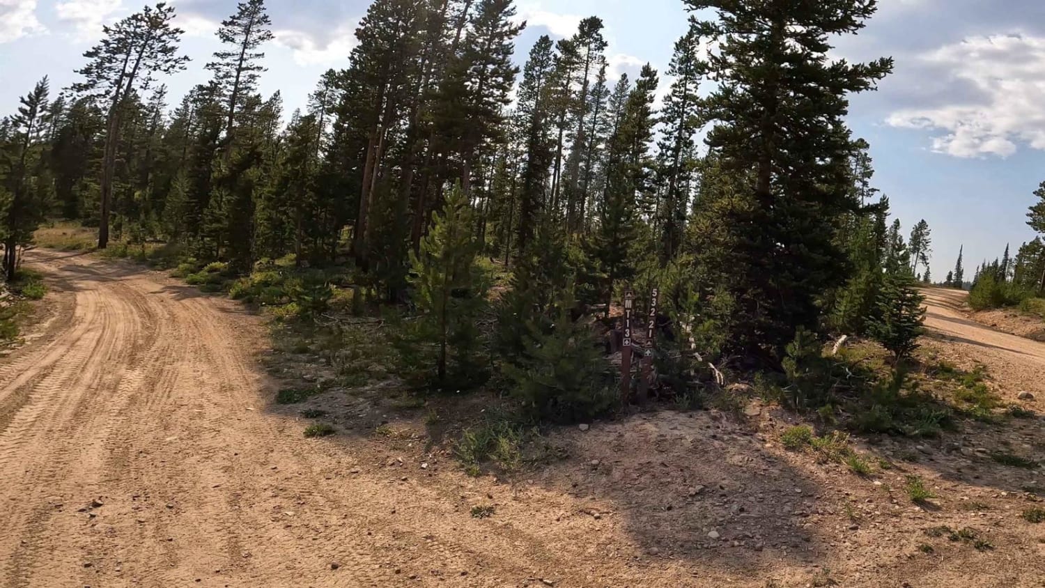
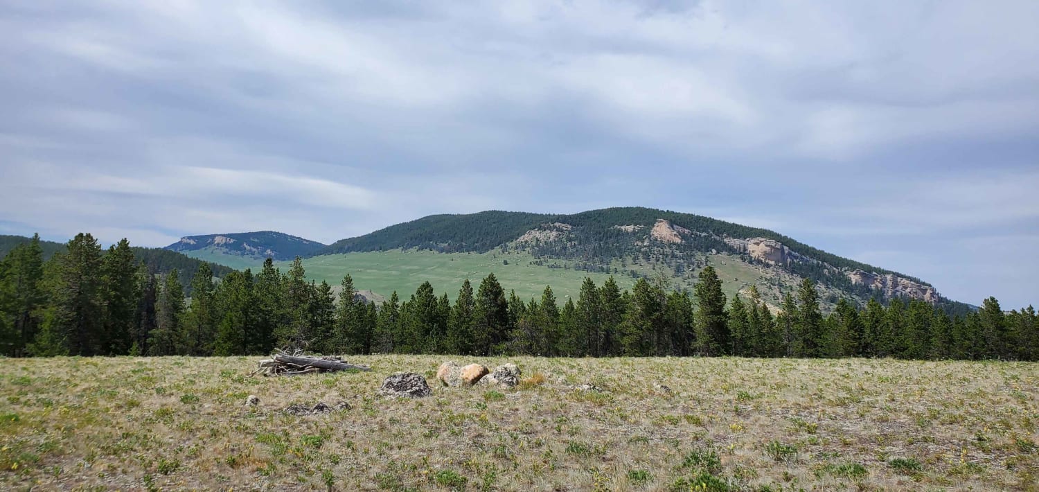
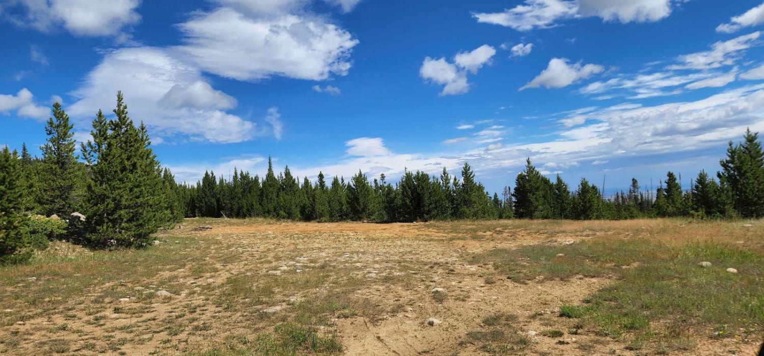
Trail Overview
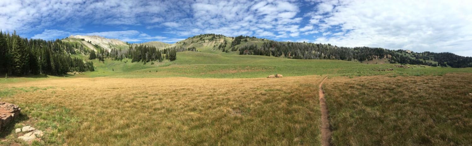
This is an easy-going ATV/dirt bike trail. There are a few water crossings, with man-made cinder blocks and potential large mudholes in spring. This trail has fun, small, little kickers and swooping turns, it almost feels like riding a mini dirt bike track. Small cc bikes and quad friendly. Since this trail is bi-direction, be extra careful when picking up speed through the turns. We traveled north to south and didn't see anyone, until mid-July.
Photos of South Fork Ridge (MT13)
Difficulty
In spring, I would say this trail could be rated 4-6 due to mudholes and winter runoff, or maybe not even passable depending on winter snow accumulation till summer. During the drier months rating level 2-3.
Status Reports
South Fork Ridge (MT13) can be accessed by the following ride types:
- ATV (50")
- Dirt Bike
South Fork Ridge (MT13) Map
Popular Trails
Big Goose/Game Creek

Palisades Indian Creek
The onX Offroad Difference
onX Offroad combines trail photos, descriptions, difficulty ratings, width restrictions, seasonality, and more in a user-friendly interface. Available on all devices, with offline access and full compatibility with CarPlay and Android Auto. Discover what you’re missing today!