Little Rock (FS 368)
Total Miles
8.1
Technical Rating
Best Time
Summer, Fall, Spring
Trail Type
60" Trail
Accessible By
Trail Overview
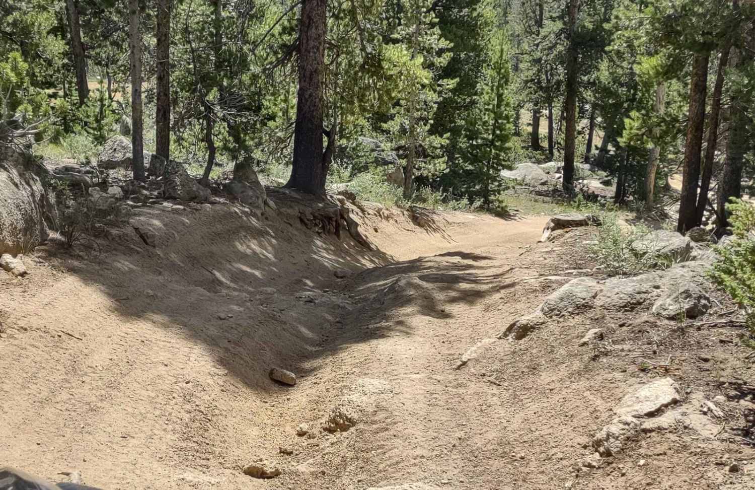
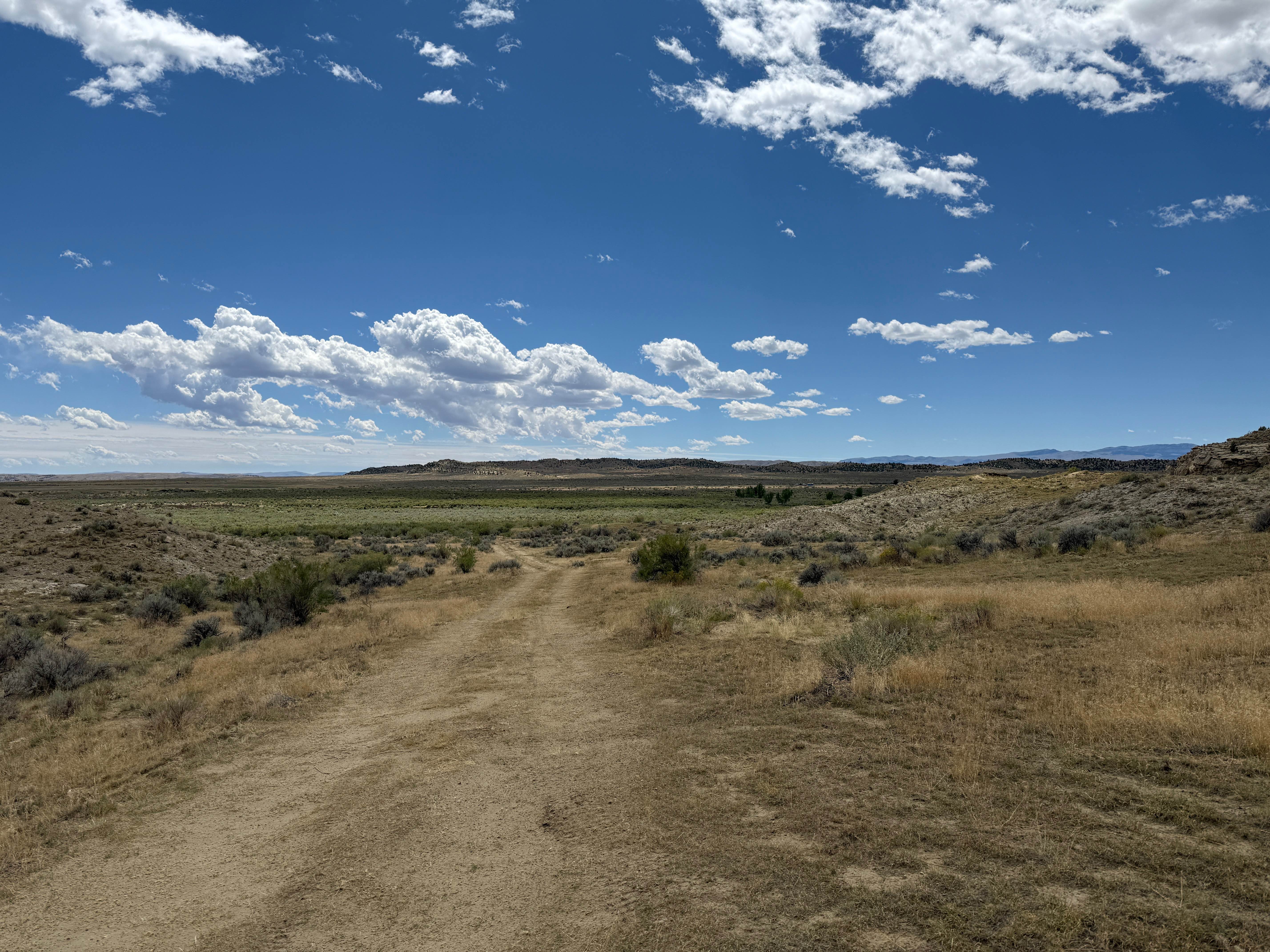
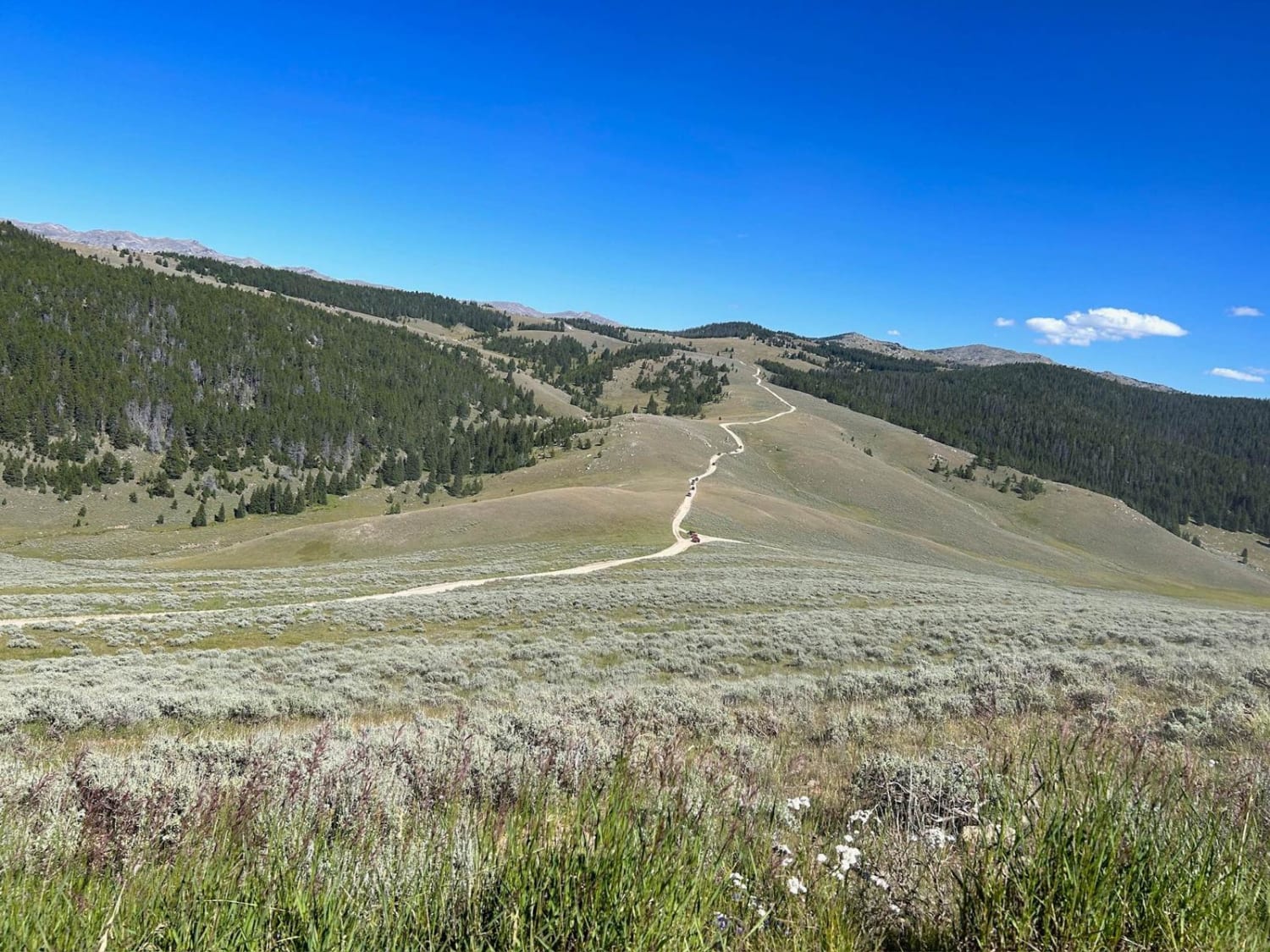
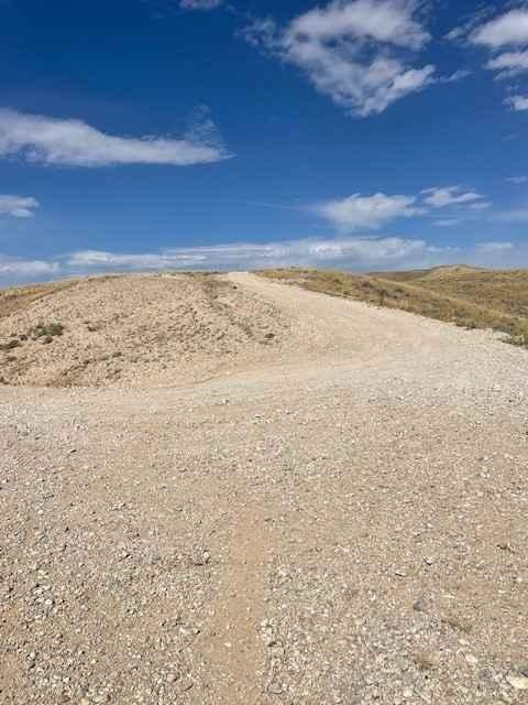
Little Rock is a two-track trail on the west end with the name "Little Rock" and number 368 on the Forest Service map. It begins at Louise Lake Road, and from there, the trail crosses the Shoshone National Forest in an easterly direction, and then it crosses some private property where access is granted, goes up a steep hill, and connects to Limestone Mountain Road. It's just over 8 miles of scenic splendor. There is one portion of the trail that has a sign, No Jeeps, and our 75" SXS fit easily. They've cut down some trees in the area, and there may be tire damage on full-size 4x4s wider than 75" from the stumps left above ground. The hill to Limestone Mtn Rd is steep with loose rocks, but it's easy. In late August, we had one shallow water crossing, although earlier in the year, I'm sure it was deeper.
Photos of Little Rock (FS 368)

Difficulty
The steep incline on the east end of the trail qualifies as a 3, but the remainder of the trail is easy.
Little Rock (FS 368) can be accessed by the following ride types:
- SxS (60")
- ATV (50")
- Dirt Bike
Little Rock (FS 368) Map
Popular Trails

Monument Hill Access - FS 401
SR 17 Ranger/Battle Creek Road
McCullough Peaks Road
The onX Offroad Difference
onX Offroad combines trail photos, descriptions, difficulty ratings, width restrictions, seasonality, and more in a user-friendly interface. Available on all devices, with offline access and full compatibility with CarPlay and Android Auto. Discover what you’re missing today!