South Big Horn/Red Wall Scenic Backway
Total Miles
99.6
Technical Rating
Best Time
Summer, Fall
Trail Type
Full-Width Road
Accessible By
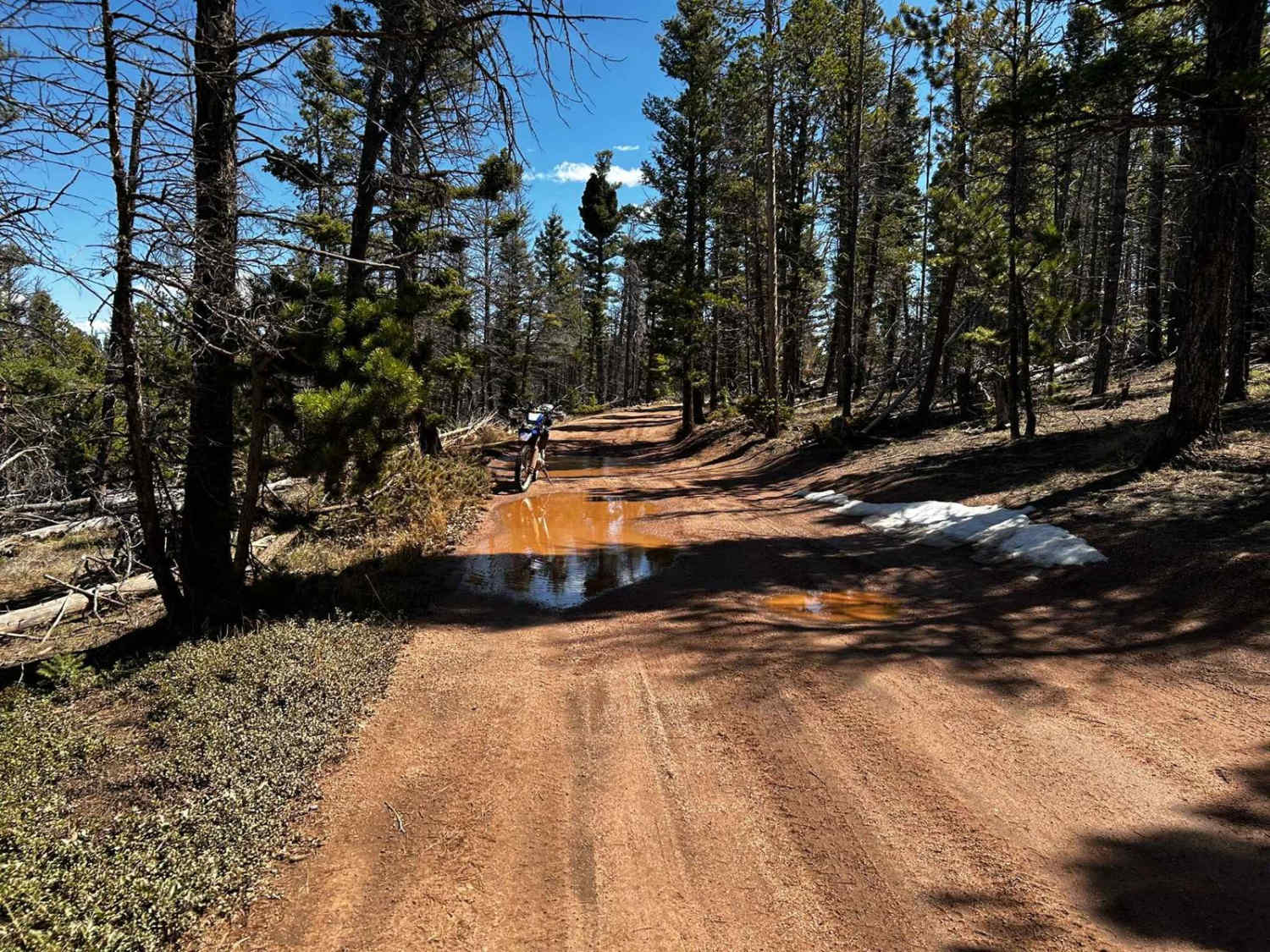
Trail Overview
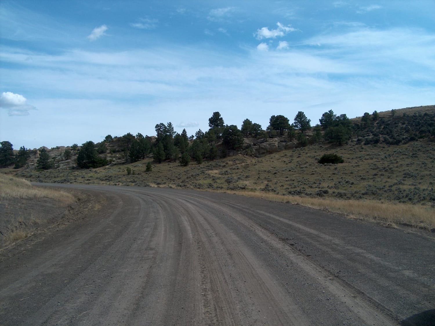
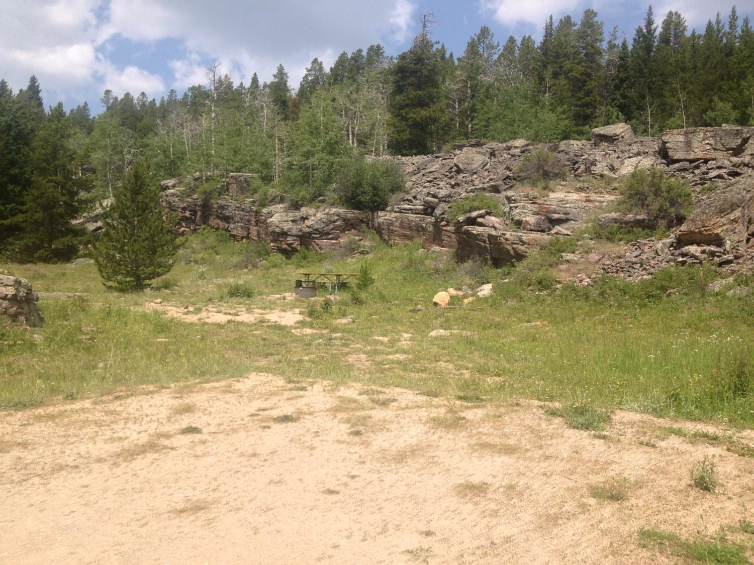
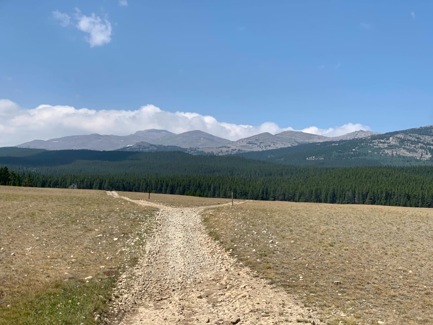
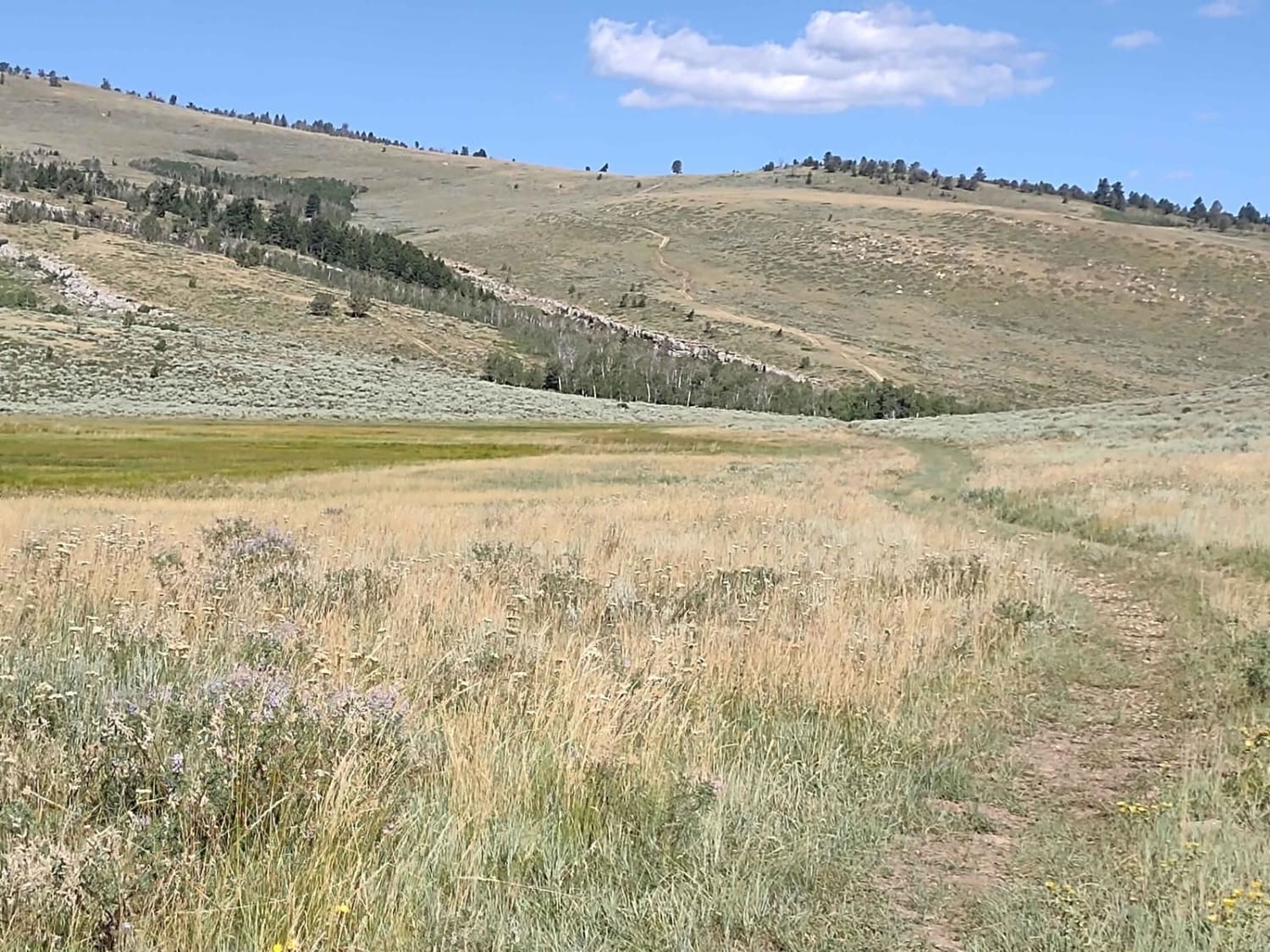
This designated Wyoming Scenic Backway makes a large semi-loop through the vastness of north-central Wyoming. It's a remarkable drive that crosses more than a hundred miles while catching the southern tail of the Bighorn Mountains. The lower elevations pass through oil patches before climbing higher beside massive red scarps and buttes. Higher still, the road reaches intermittent forests and sweeping open uplands near a couple of lightly-visited campgrounds. On the northern side of the loop, watch for a sign marking Roughlock Hill; this is where pioneers would lock their wheels and slide their wagons down the steep slope. Be sure to fill your tank before tackling this drive and don't hesitate to turn back if road conditions are not favorable.
Photos of South Big Horn/Red Wall Scenic Backway
Difficulty
Nearly a third of this drive is paved and the remaining unpaved portion is in relatively good condition. The rougher and more primitive upper portion, which follows the Big Horn Mountain Road (CR 109/ CR 110), can be bypassed if needed. This higher road includes steeper grades, a rocky road surface, and a few shallow fords. Snowdrifts, even into late spring, and wet summertime weather can also make travel difficult. This road is not recommended in the off season.
History
Aside from the wagon trains that passed through this area generations ago, a number of historical stock driveways also crisscross this rough country. Today, the land is mostly used for recreation, sheepherding, ranching, and oil production.
Status Reports
South Big Horn/Red Wall Scenic Backway can be accessed by the following ride types:
- High-Clearance 4x4
- SUV
- SxS (60")
- ATV (50")
- Dirt Bike
South Big Horn/Red Wall Scenic Backway Map
Popular Trails
Stairway to Heaven
Boulder Ridge Road

Buffalo Creek/ Hot Springs County 5
The onX Offroad Difference
onX Offroad combines trail photos, descriptions, difficulty ratings, width restrictions, seasonality, and more in a user-friendly interface. Available on all devices, with offline access and full compatibility with CarPlay and Android Auto. Discover what you’re missing today!