West Saddle Mountains Ridge
Total Miles
5.3
Technical Rating
Best Time
Spring, Summer, Fall, Winter
Trail Type
Full-Width Road
Accessible By
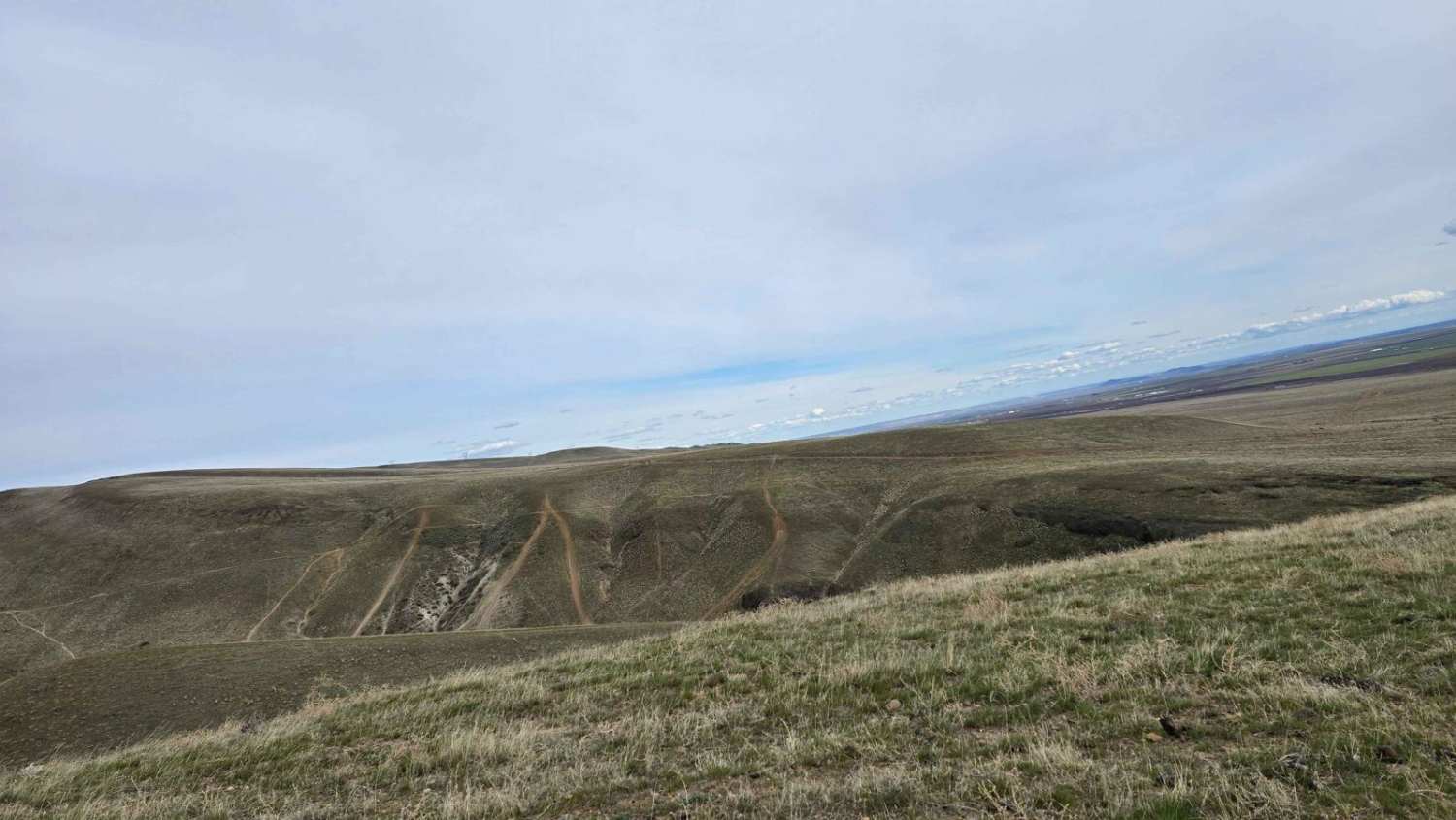
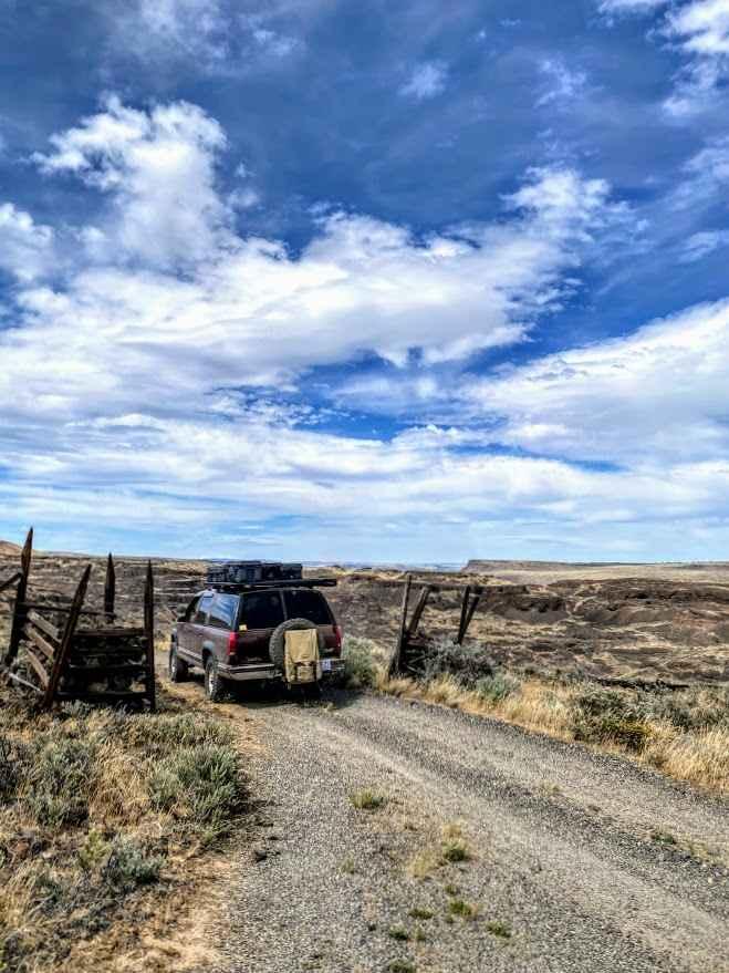
Trail Overview
The trail features hard-packed dirt combined with fractured basalt gravel and runs along the ridge of the Saddle Mountains. It offers 360-degree views of the Columbia River to the west and the Hanford site to the east. The route consists of easy gravel roads with occasional whooped-out sections. There are many opportunities to test your bravery with steep hill climbs featuring basalt gravel and sand.
Photos of West Saddle Mountains Ridge

Difficulty
Hard-packed gravel allows for easy driving, with many places to pull over and let others pass.
History
The Saddle Mountains were formed 15 million years ago by a volcanic eruption that covered hundreds of square miles in Eastern Washington. The depth of the basalt flow varies between 390 and 790 feet. The Saddle Mountains are part of a large geological formation known as an anticline, which is an elongated upward fold in the Earth's crust. This anticline slopes steeply on the north side, toward the Crab Creek drainage, and gently to the south.
Status Reports
West Saddle Mountains Ridge can be accessed by the following ride types:
- High-Clearance 4x4
- SUV
- SxS (60")
- ATV (50")
- Dirt Bike
West Saddle Mountains Ridge Map
Popular Trails

North to South Trail
The Ferns on French Creek
Jackknife Ridge Road

Goon - FS 8122161
The onX Offroad Difference
onX Offroad combines trail photos, descriptions, difficulty ratings, width restrictions, seasonality, and more in a user-friendly interface. Available on all devices, with offline access and full compatibility with CarPlay and Android Auto. Discover what you’re missing today!