Razor Hone
Total Miles
2.5
Technical Rating
Best Time
Summer, Fall
Trail Type
Full-Width Road
Accessible By
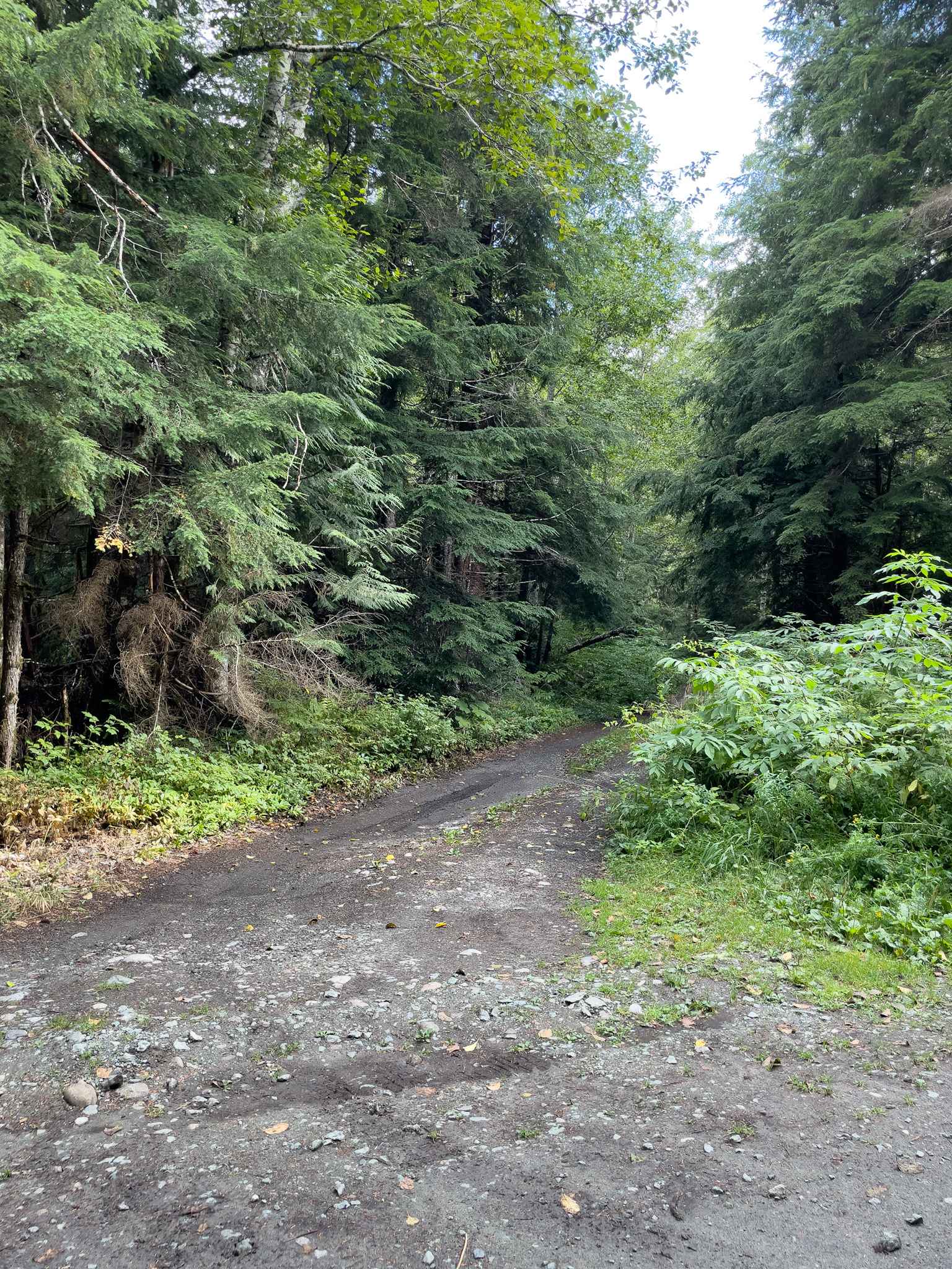
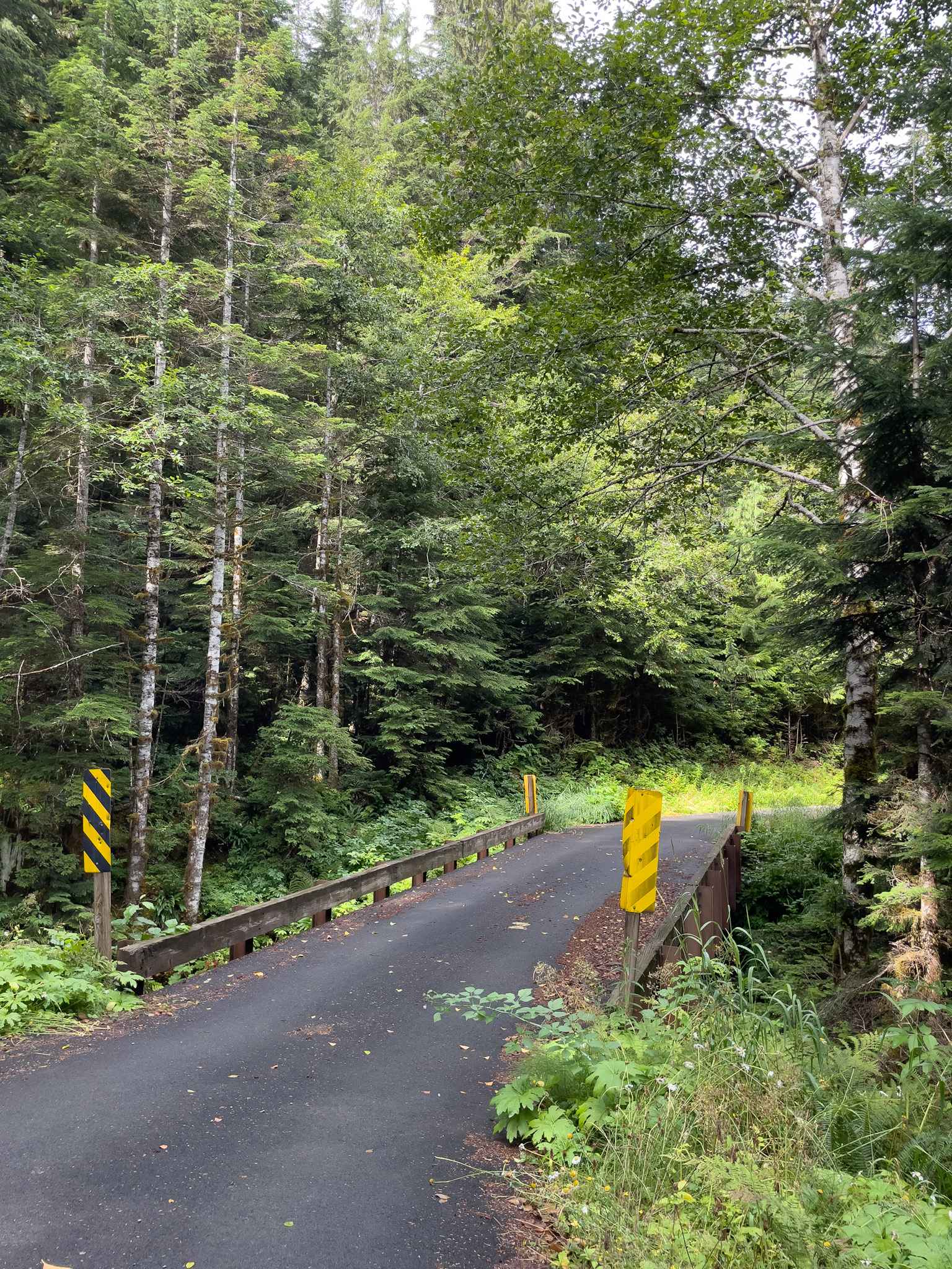
Trail Overview
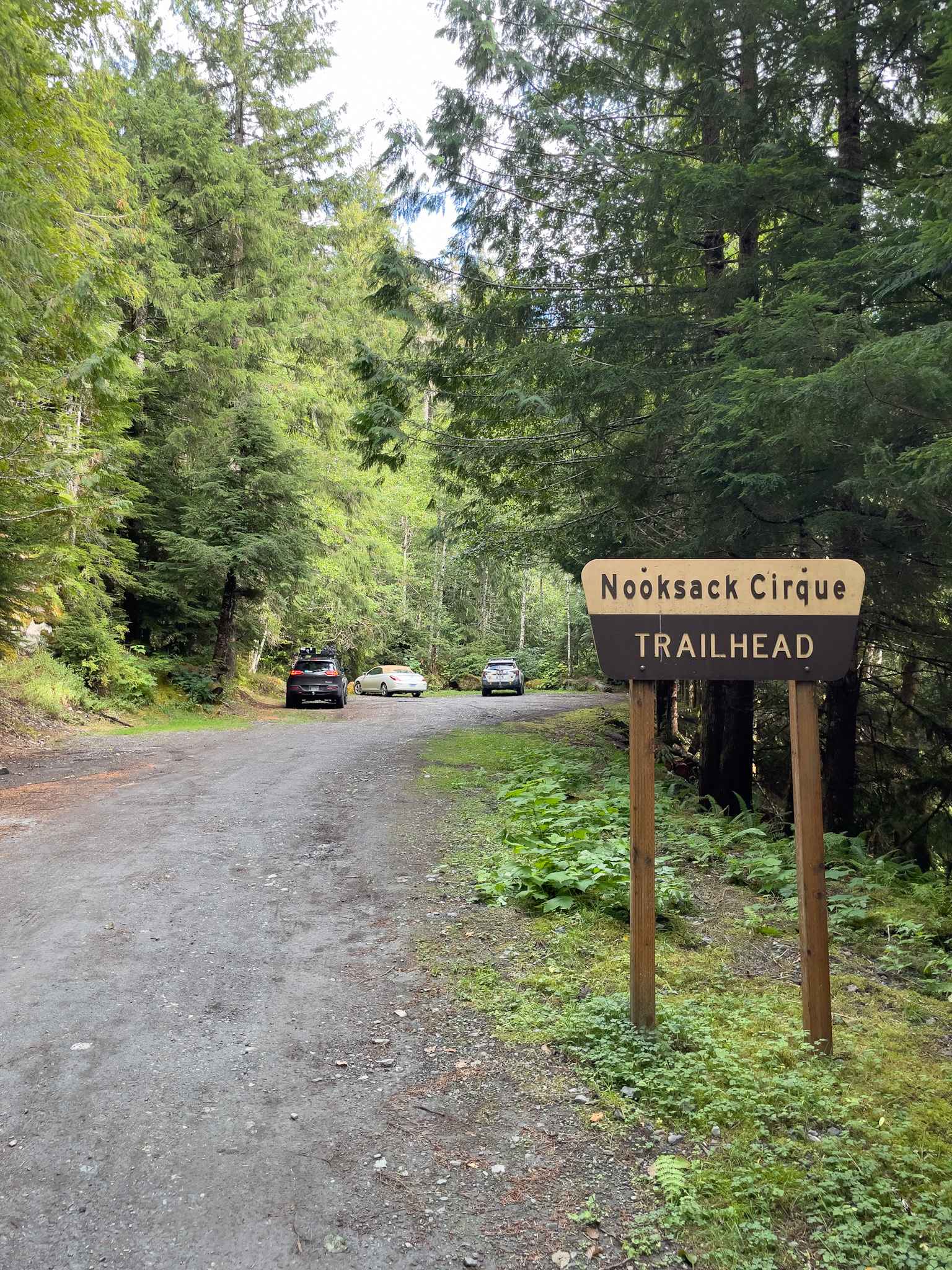
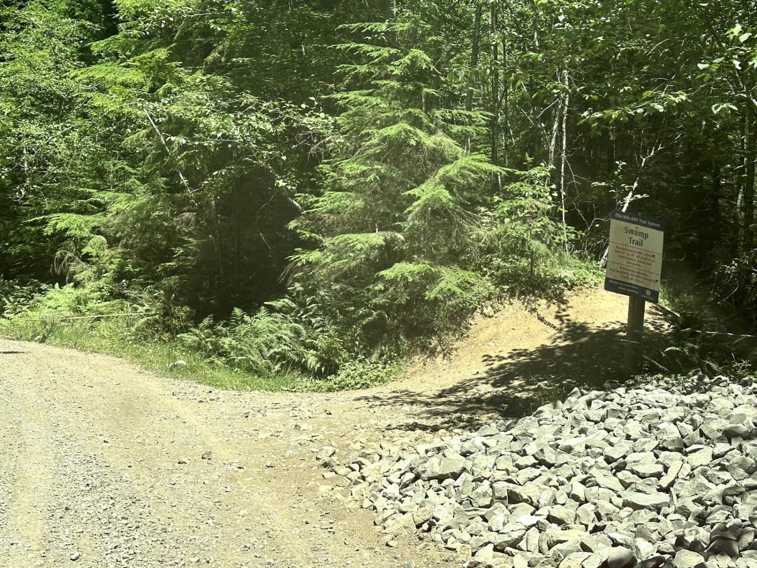
Razor Hone offers approximately 10 dispersed camping spots along the way, often well-cleared and close to the Nooksack River. This 5.2-mile round-trip trail is easily accessible by any vehicle. It ends just short due to a washout that now marks the last dispersed camping spot. This trail provides one of many camping locations before or during your trip around the Mount Baker area. Along the route, expect two bridges crossing beautiful streams, waterfalls, and the Nooksack River.
Photos of Razor Hone
Difficulty
This is a very easy, well-maintained trail. Although narrow, numerous pullouts allow safe passing of oncoming traffic.
Status Reports
Razor Hone can be accessed by the following ride types:
- High-Clearance 4x4
- SUV
Razor Hone Map
Popular Trails
Big Meadow Creek Road
Skull and Crossbones Road
The onX Offroad Difference
onX Offroad combines trail photos, descriptions, difficulty ratings, width restrictions, seasonality, and more in a user-friendly interface. Available on all devices, with offline access and full compatibility with CarPlay and Android Auto. Discover what you’re missing today!