Upper Boulder
Total Miles
4.5
Technical Rating
Best Time
Spring, Summer, Fall
Trail Type
Full-Width Road
Accessible By
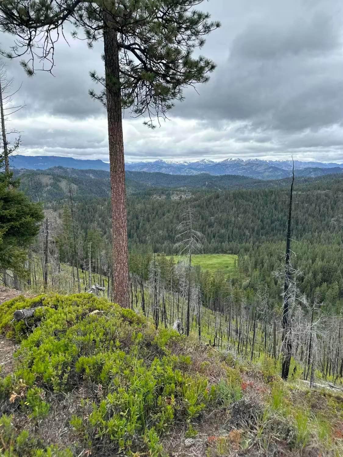
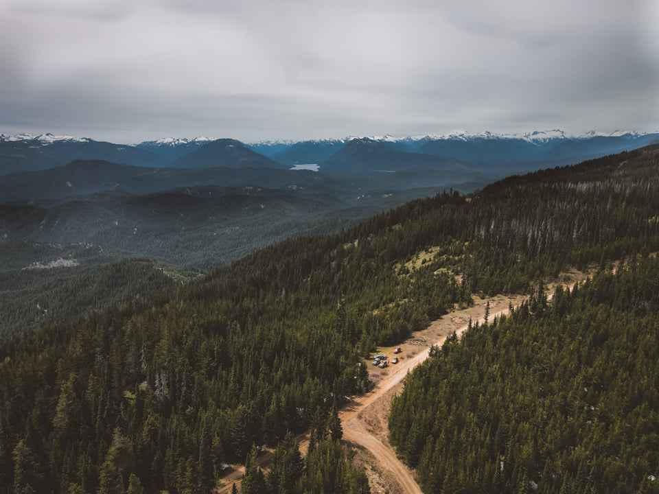
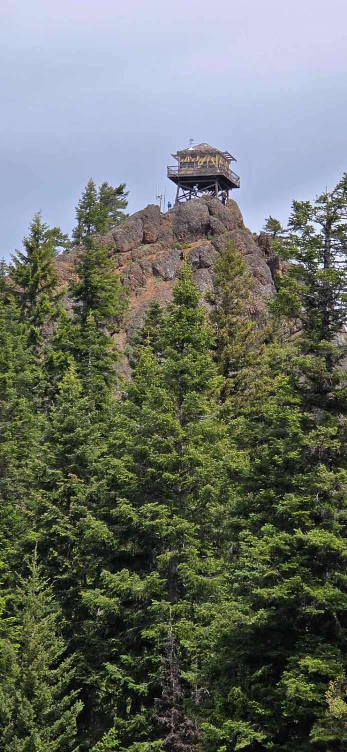
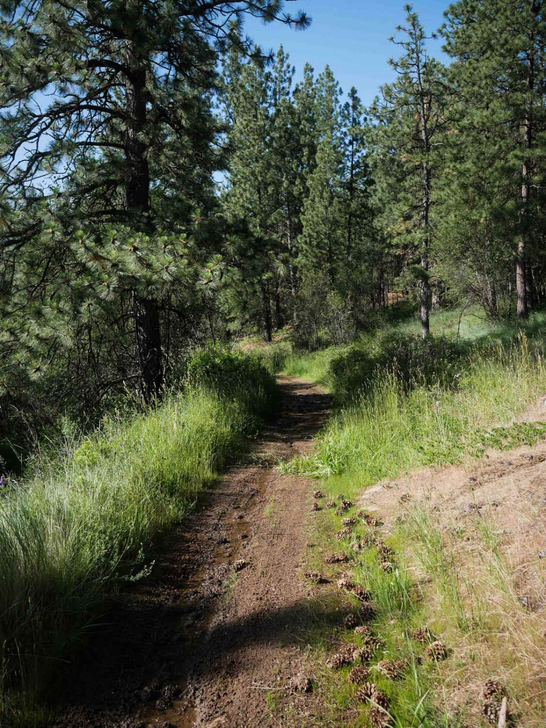
Trail Overview
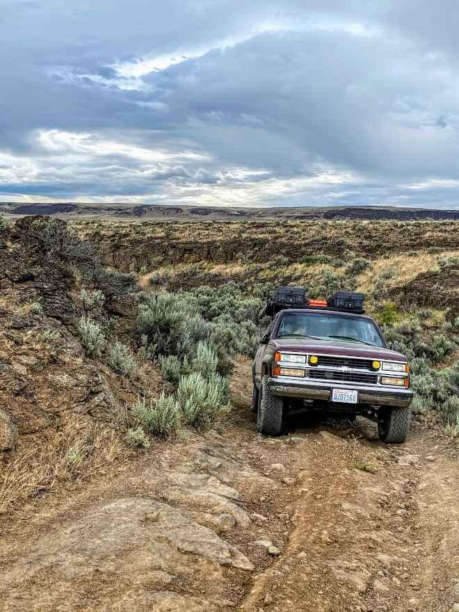
The trail commences with a spacious entrance capable of accommodating two full-width SUVs. As you journey further, the path gradually narrows into a single lane, winding through rocky terrain, occasional potholes, and a network of shorter trails ideal for camping adventures. Revel in the tranquility of sparse traffic, encounter remnants of historical mining cabins, and indulge in breathtaking scenic vistas along the way. Additionally, be mindful of signs indicating registered mining claims along the route.
Photos of Upper Boulder

Difficulty
While generally considered an easy trail, there are sections where the road narrows and becomes rocky, requiring cautious navigation.
Status Reports
Upper Boulder can be accessed by the following ride types:
- High-Clearance 4x4
- SUV
- SxS (60")
- ATV (50")
- Dirt Bike
Upper Boulder Map
Popular Trails
Naneum Ridge State Forest Day Trip
Cayuse Creek Cruise
The onX Offroad Difference
onX Offroad combines trail photos, descriptions, difficulty ratings, width restrictions, seasonality, and more in a user-friendly interface. Available on all devices, with offline access and full compatibility with CarPlay and Android Auto. Discover what you’re missing today!