NF 9702
Total Miles
2.4
Technical Rating
Best Time
Spring, Summer, Fall
Trail Type
High-Clearance 4x4 Trail
Accessible By
Trail Overview
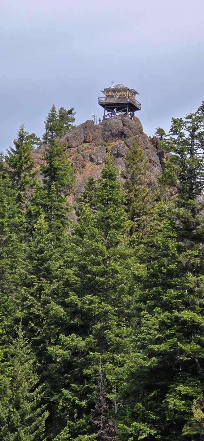
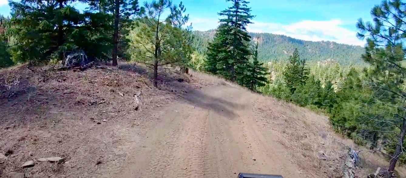
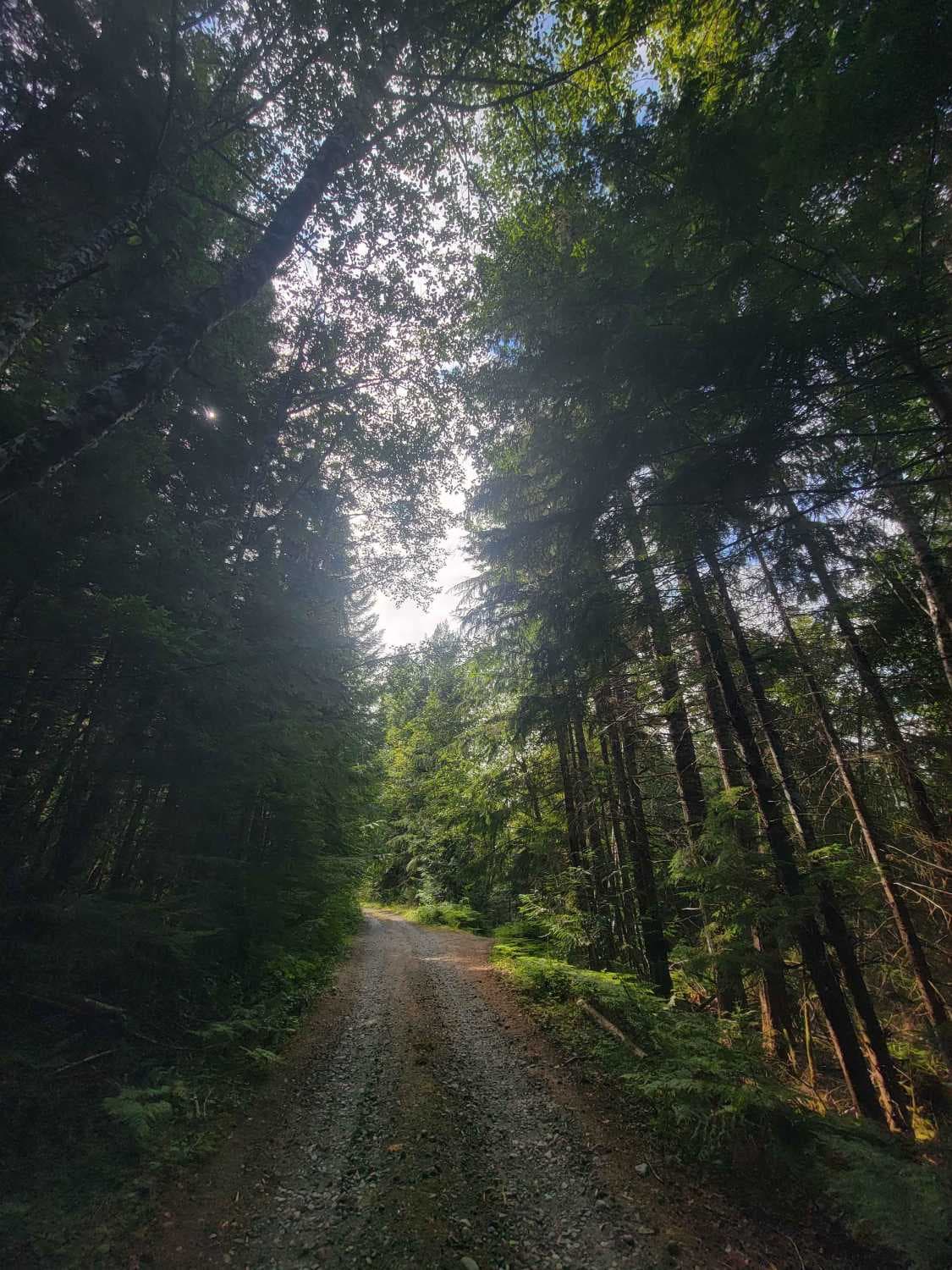
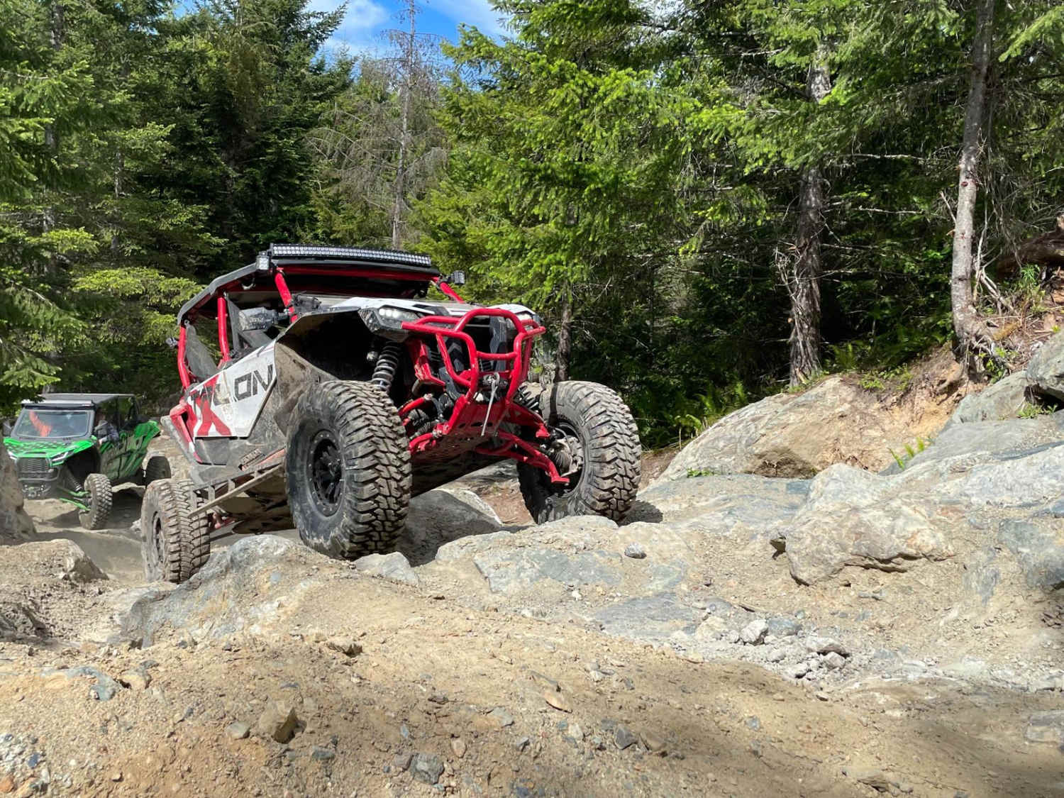
This challenging trail system is situated west of US-97 and is well-known for its difficulty. The trail includes narrow paths winding through dense forests, with steep hill climbs, severe off-camber angles, and large rock obstacles, making it a demanding ride. Only experienced riders should tackle this trail. Completing the trail leads to the rewarding Red Top Lookout. You'll need to put on your hiking shoes for the short but steep hike to reach the lookout.
Photos of NF 9702
Difficulty
This trail has steep hill climbs, off-camber trails, and large rock obstacles. Please use caution when riding this trail.
History
The town of Liberty was originally located around a spot where two gold-bearing creeks converged. When a local miner named Thomas Meagher built a cabin and established a store a couple of miles east of that convergence, most of the residential activity was relocated to be closer to the store. The resulting town became known as Meaghersville. In 1890, the miners built a wagon road to improve access to the town, and in 1892 a post office was established. The citizens initially wanted to name the town Swauk after nearby Swauk Creek, but the US Postal Service denied the name, fearing that it would be confused with the already established Sauk Post Office. Eventually, at a town meeting, the miners settled on calling their new town Liberty.
Status Reports
NF 9702 can be accessed by the following ride types:
- High-Clearance 4x4
- SxS (60")
- ATV (50")
- Dirt Bike
NF 9702 Map
Popular Trails
No Newbies and 4x4 Skills Area

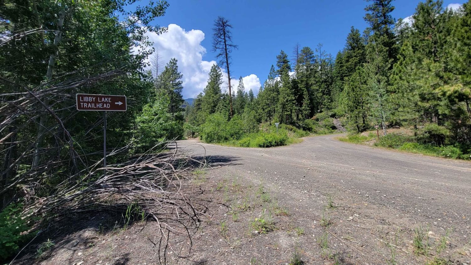
NF 700 - Libby Lake Trailhead
The onX Offroad Difference
onX Offroad combines trail photos, descriptions, difficulty ratings, width restrictions, seasonality, and more in a user-friendly interface. Available on all devices, with offline access and full compatibility with CarPlay and Android Auto. Discover what you’re missing today!