Tarpiscan Road Spur
Total Miles
1.9
Technical Rating
Best Time
Spring, Summer, Fall, Winter
Trail Type
Full-Width Road
Accessible By
Trail Overview
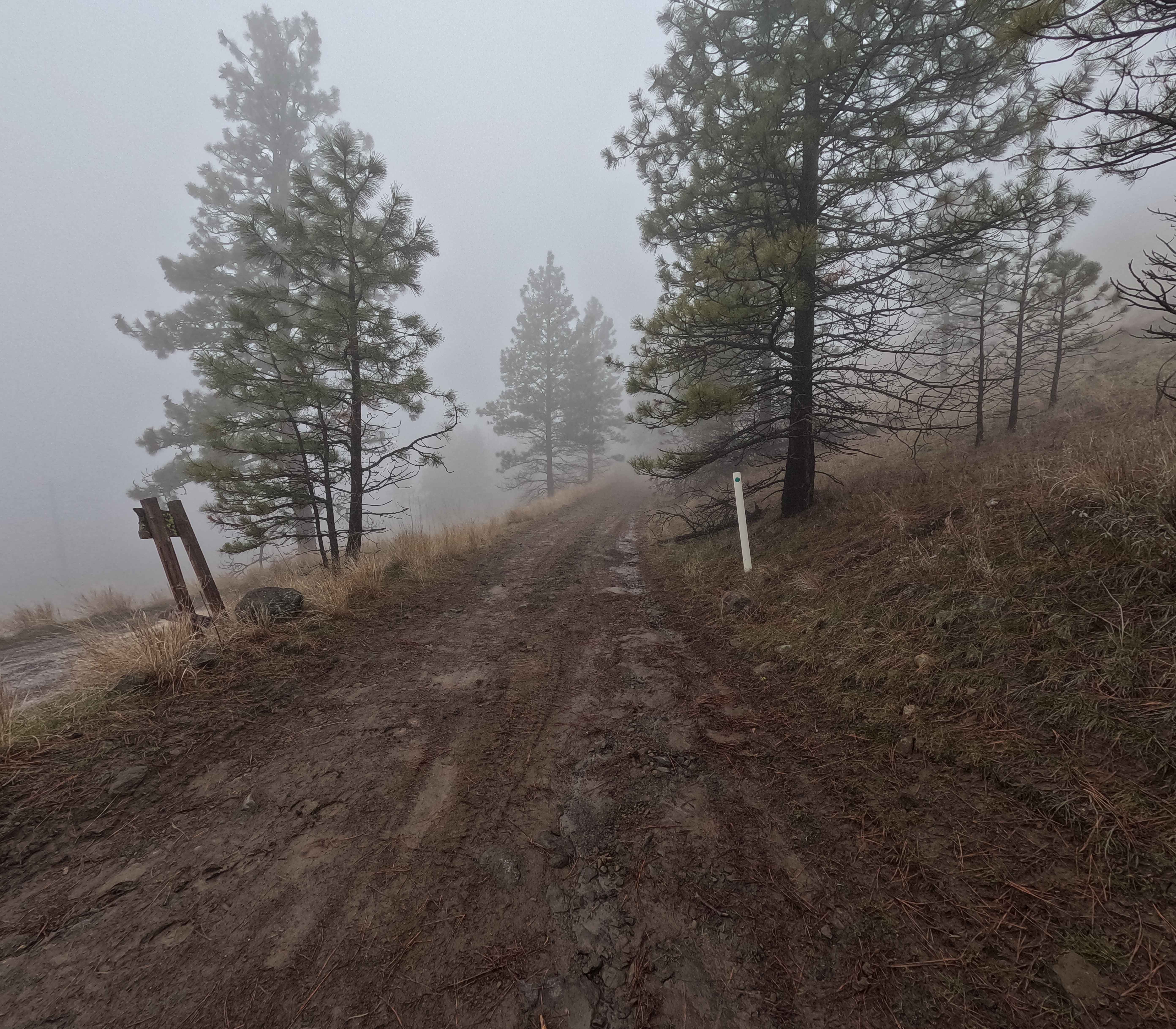
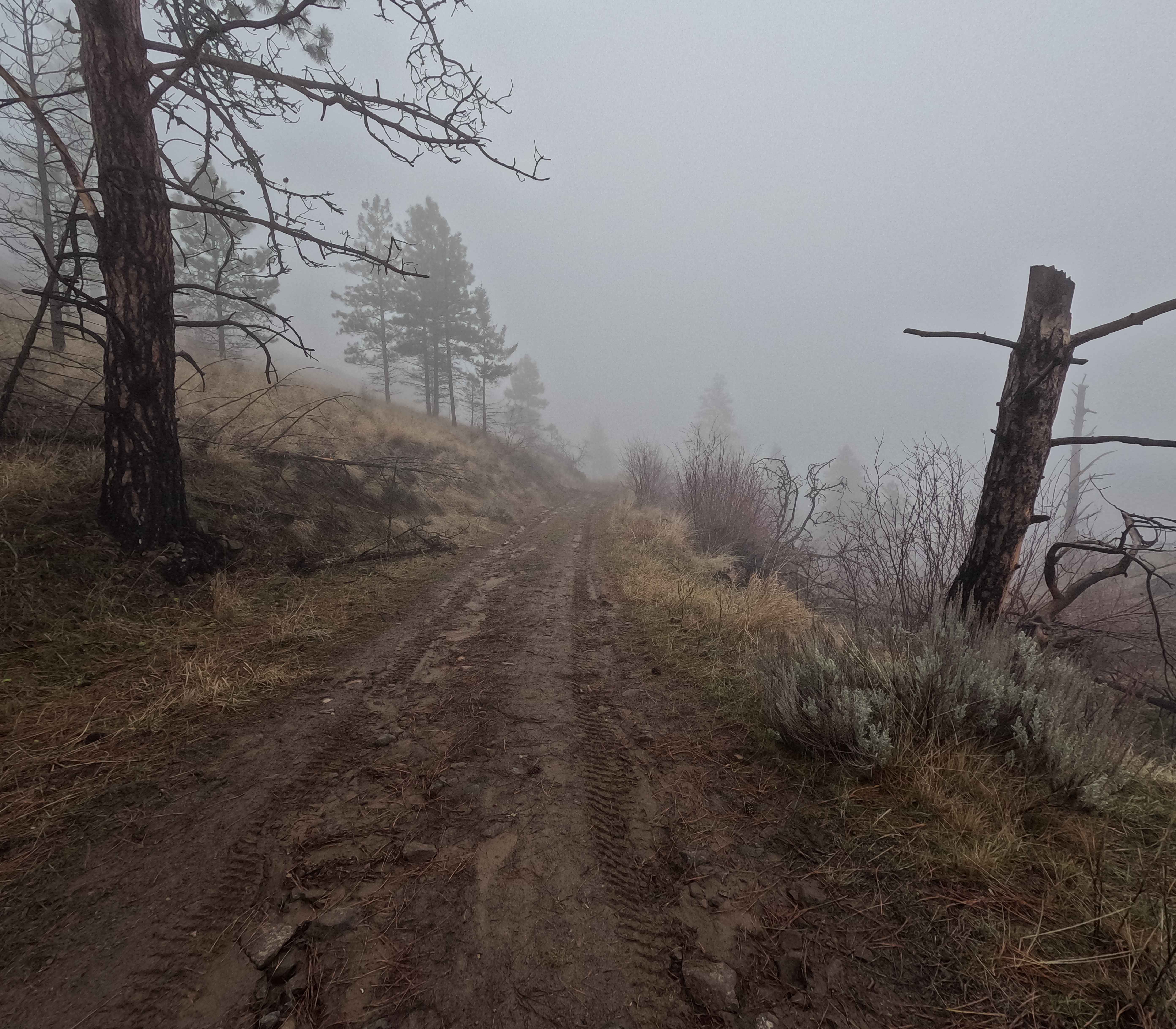
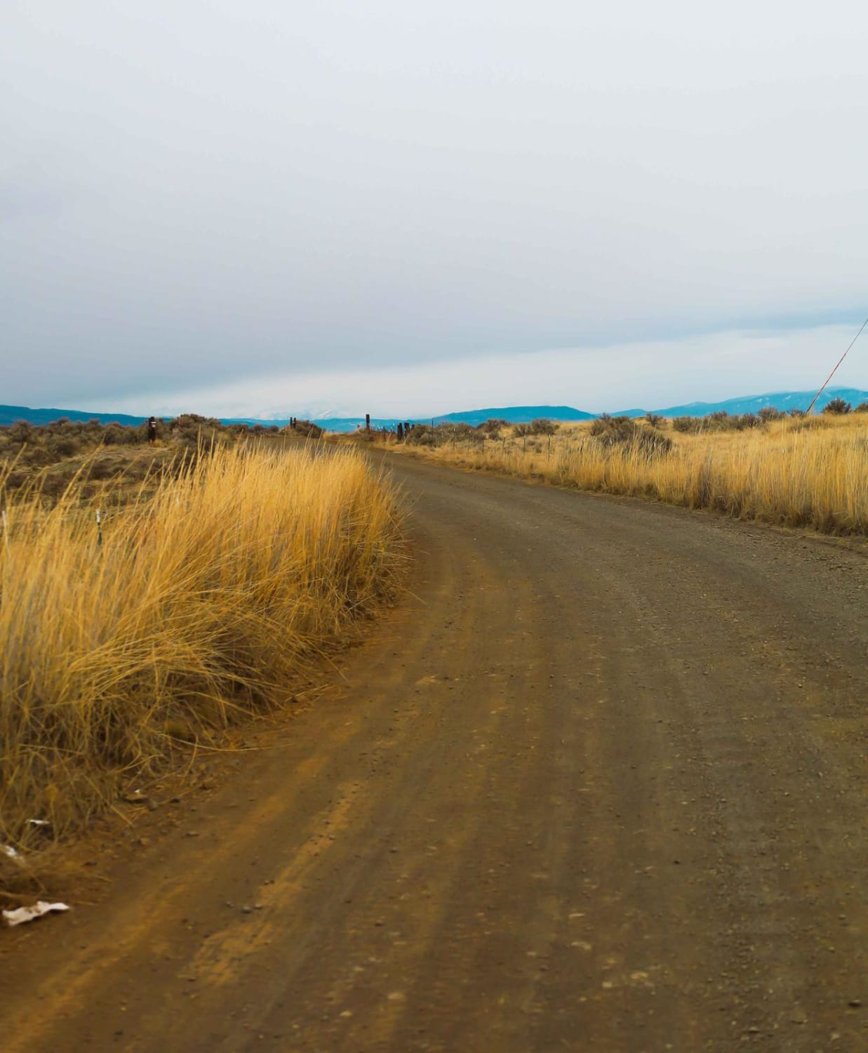
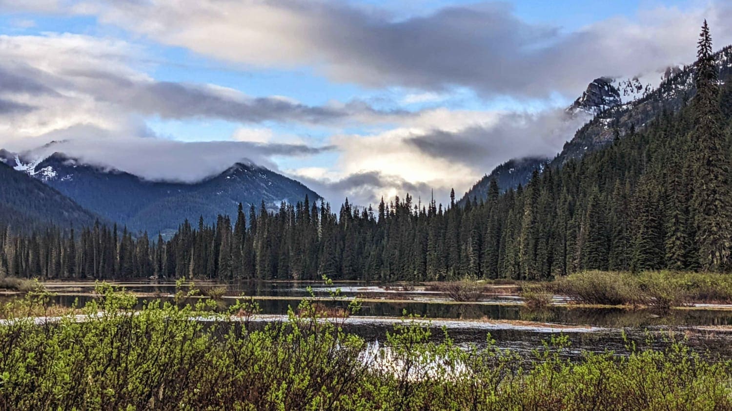
Tarpiscan Road Spur is a 1.2-mile out-and-back trail branching off Tarpiscan Road and following the south fork of Tarpiscan Creek up a valley. Numerous dispersed campsites are available along the route. The trail is a single-lane dirt road with sections of deep rutting and road damage, terminating at a road closure blocked by large rocks. This trail is managed by the Washington Department of Natural Resources and the Department of Fish and Wildlife. A Washington State Discover Pass is required for access. Motorized vehicle use is restricted to roads marked with green dots only, as per management regulations. Tarpiscan Road Spur is accessible year-round.
Photos of Tarpiscan Road Spur
Difficulty
With deep rutting and loose rock, 4WD and good tires are highly recommended. Weather conditions, such as rain and snow, can significantly affect the difficulty. A chainsaw or other equipment for clearing windfall is highly recommended.
Status Reports
Tarpiscan Road Spur can be accessed by the following ride types:
- High-Clearance 4x4
- SUV
- SxS (60")
- ATV (50")
- Dirt Bike
Tarpiscan Road Spur Map
Popular Trails
Durr Road to Umtanum Creek Camp

S. Skagit Hwy to Gee Point
Cle Elum Valley Road
The onX Offroad Difference
onX Offroad combines trail photos, descriptions, difficulty ratings, width restrictions, seasonality, and more in a user-friendly interface. Available on all devices, with offline access and full compatibility with CarPlay and Android Auto. Discover what you’re missing today!