Tamarack Ridge Road
Total Miles
6.9
Technical Rating
Best Time
Spring, Summer
Trail Type
Full-Width Road
Accessible By
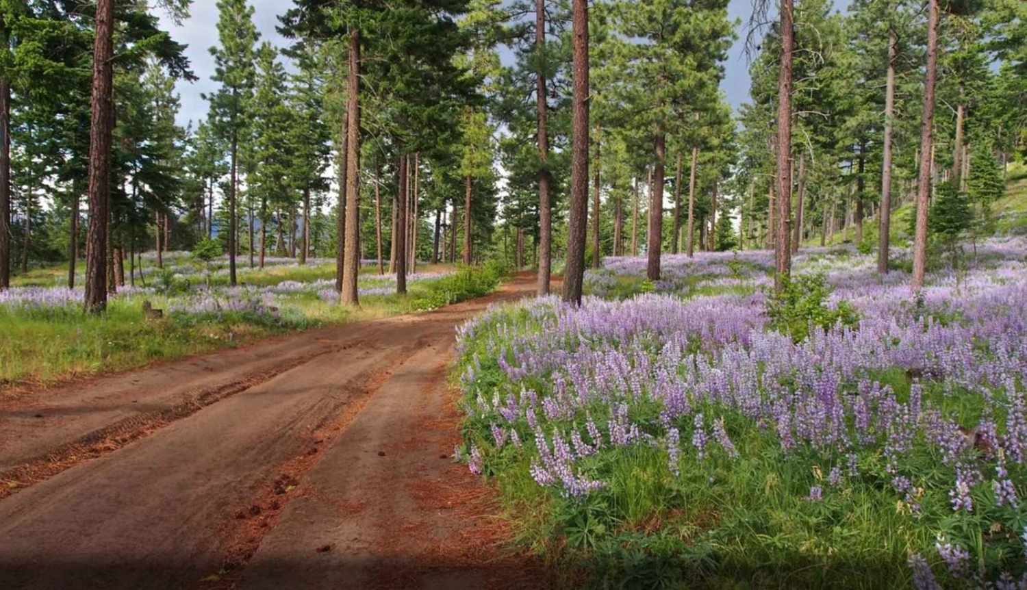
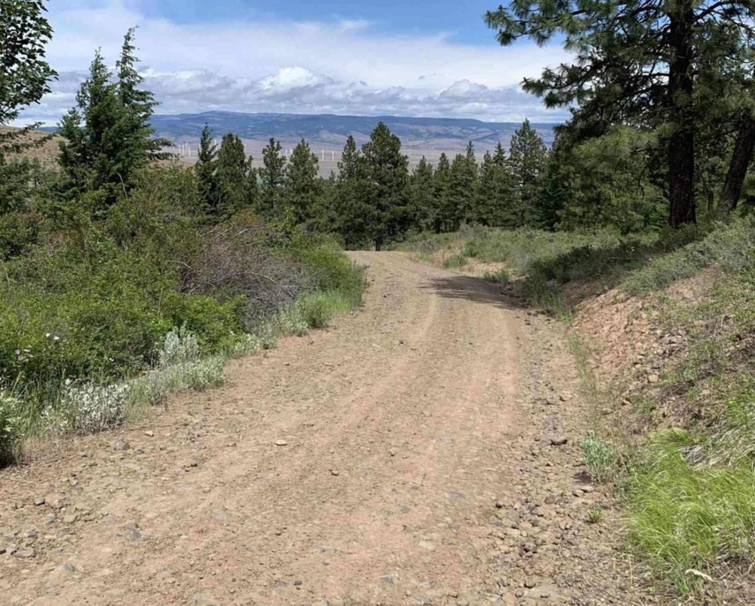
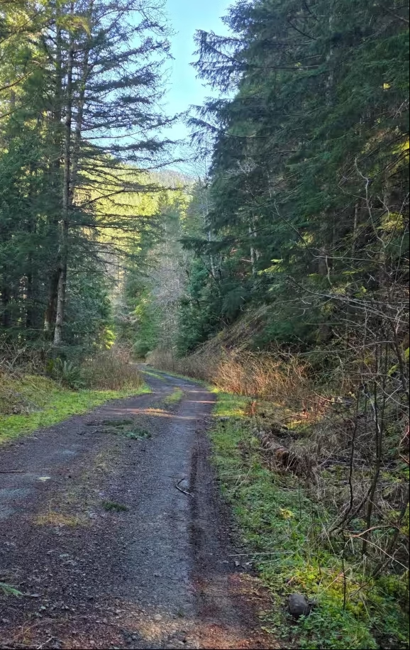
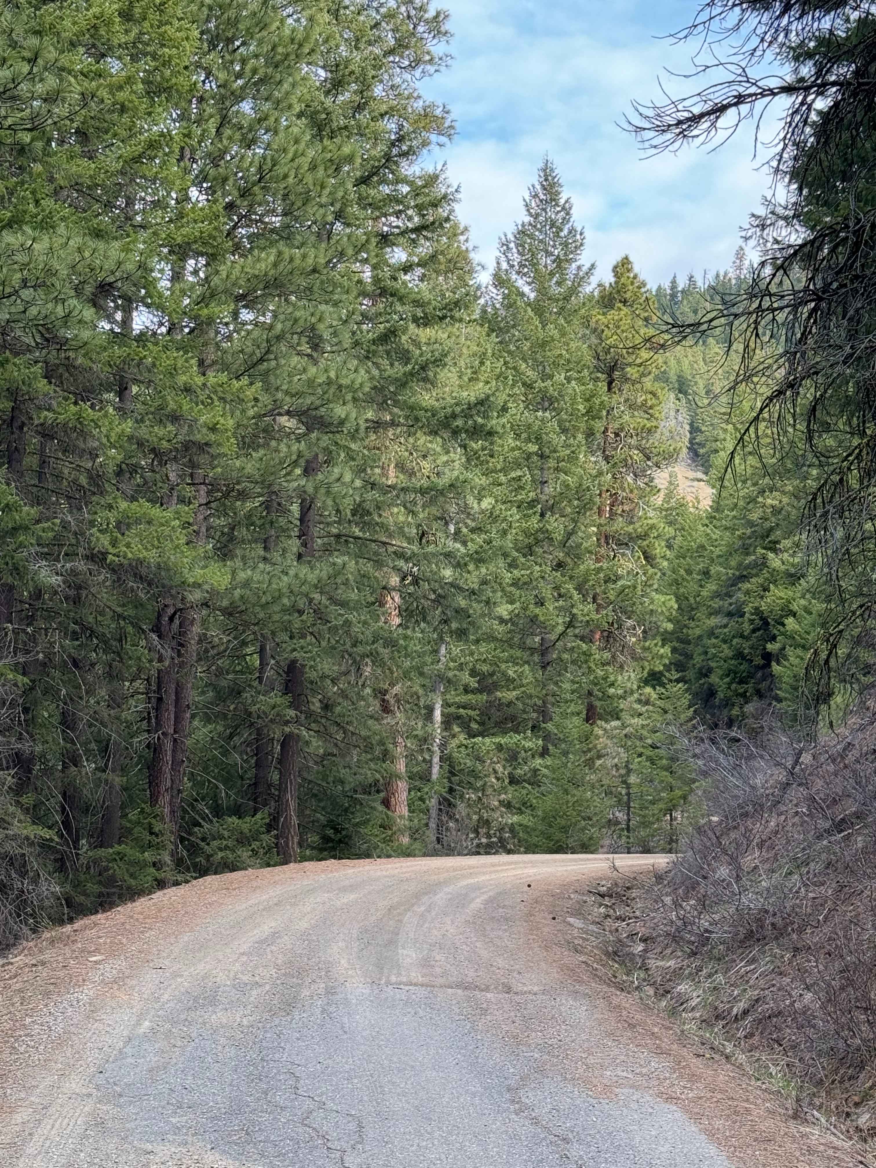
Trail Overview
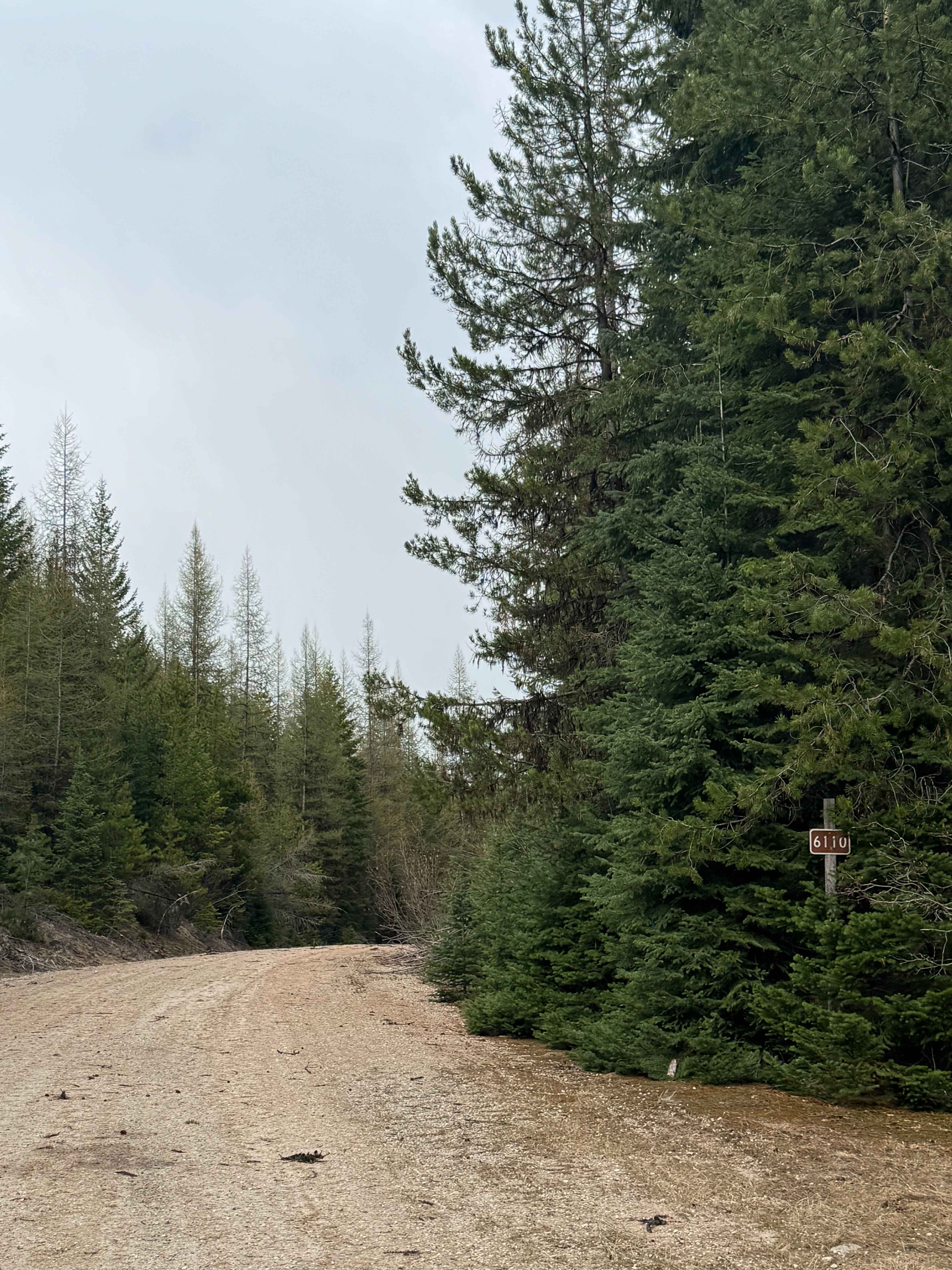
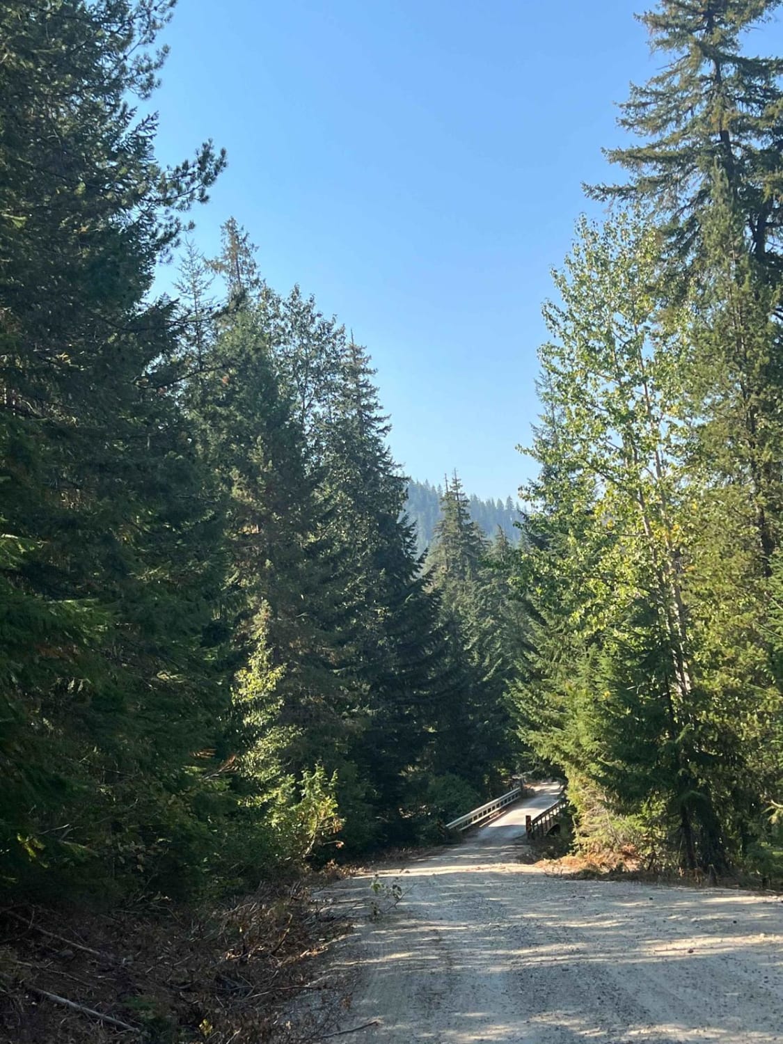
This riding area does not open until May 1st. The trail is on a mostly well-groomed forest service road, but you might come across some loose rocks and a few potholes. This 7-mile stretch connects the Manastash and Gnat Flat Trails, and there are lots of fun turns off the main trail that make for awesome camping spots. Plus, some cool single tracks are great for a more private riding experience, even though they are a bit too narrow for full-sized vehicles. Enjoy checking it out!
Photos of Tamarack Ridge Road
Difficulty
The terrain is composed of well-compacted dirt blended with basalt gravel, with wide areas for pull-offs to allow vehicles to pass.
History
Joe Watt Canyon is named after Joe Watt, a local rancher and stockman from the Ellensburg area. He was known for his extensive land holdings and his significant contributions to the local agricultural economy. Joe Watt's name is often linked to the region's landscape, particularly the L.T. Murray Wildlife Area, where the canyon is situated.
Status Reports
Tamarack Ridge Road can be accessed by the following ride types:
- High-Clearance 4x4
- SUV
- SxS (60")
- ATV (50")
- Dirt Bike
Tamarack Ridge Road Map
Popular Trails
Russell Ridge - FS 1306
South Boulder - FS 6110
Labyrinth Mountain
The onX Offroad Difference
onX Offroad combines trail photos, descriptions, difficulty ratings, width restrictions, seasonality, and more in a user-friendly interface. Available on all devices, with offline access and full compatibility with CarPlay and Android Auto. Discover what you’re missing today!