Manastash Ridge
Total Miles
6.9
Technical Rating
Best Time
Summer, Fall
Trail Type
High-Clearance 4x4 Trail
Accessible By
Trail Overview
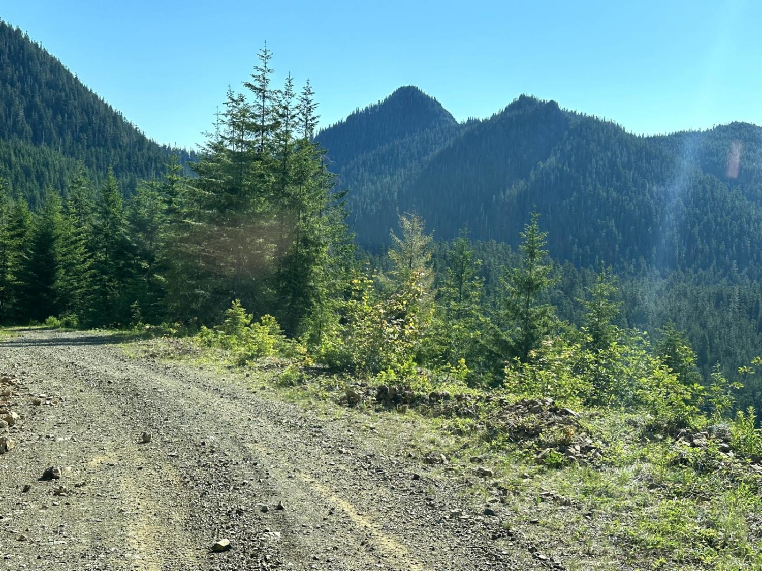
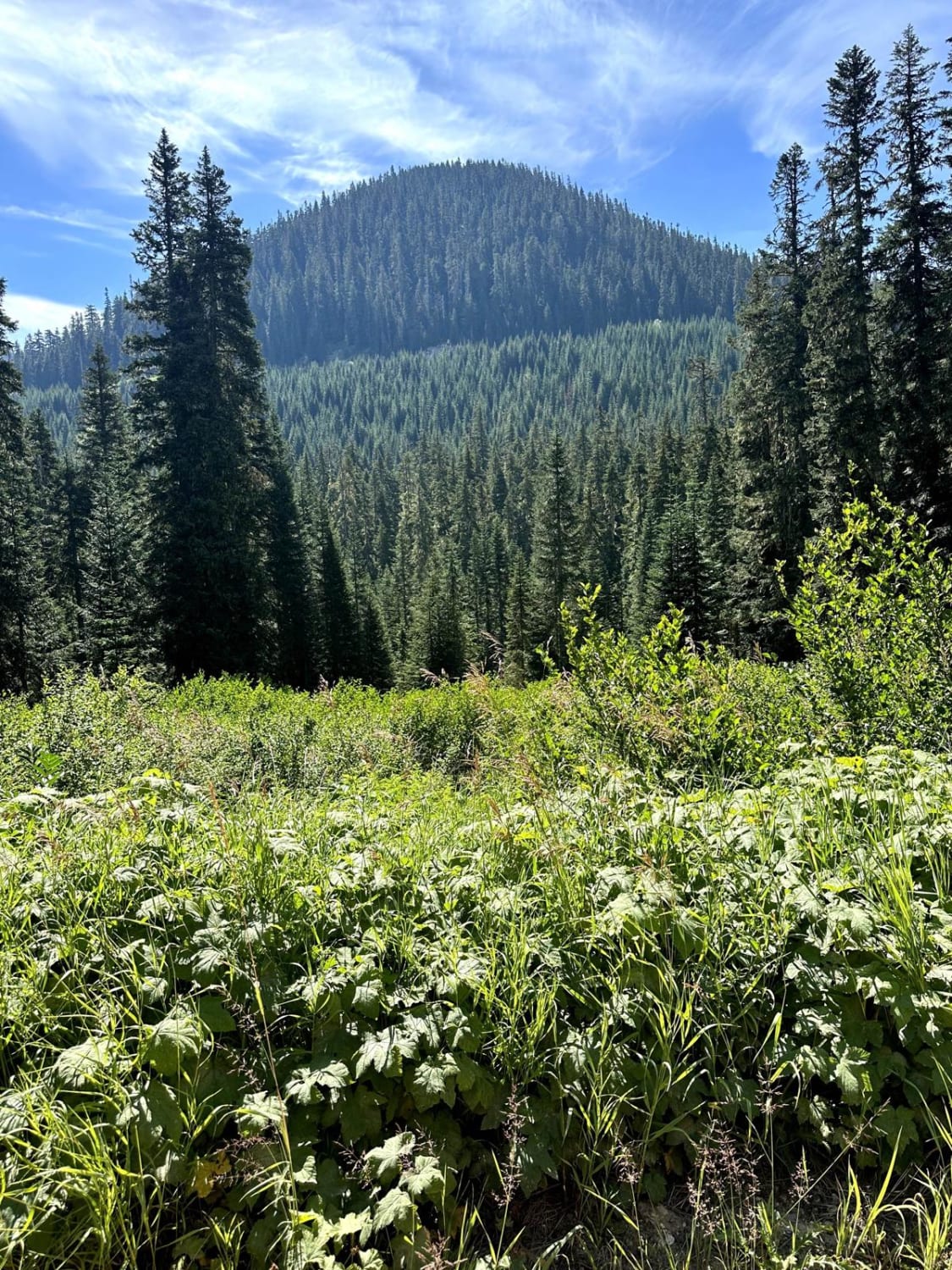
The trail opens June 15th each year. Manastash Ridge Trail is within the Manastash Ridge ORV area in the Okanogan-Wenatchee National Forest. It runs along Manastash Ridge, offering great views of Mount Rainier and Mount Adams and the lush valleys below. This trail includes steep and challenging hill climbs and has a small section for moderate rock crawling. It is one of the longest trails in the area and ends at Quartz Mountain, where you can enjoy stunning views. You can see Mount Rainier and Mount Adams to the south, and the Cascade Mountains extend to the north. Many other trails connect with Manastash Ridge, allowing you to create routes for a long day of fun or an entire weekend off-roading.
Photos of Manastash Ridge


Difficulty
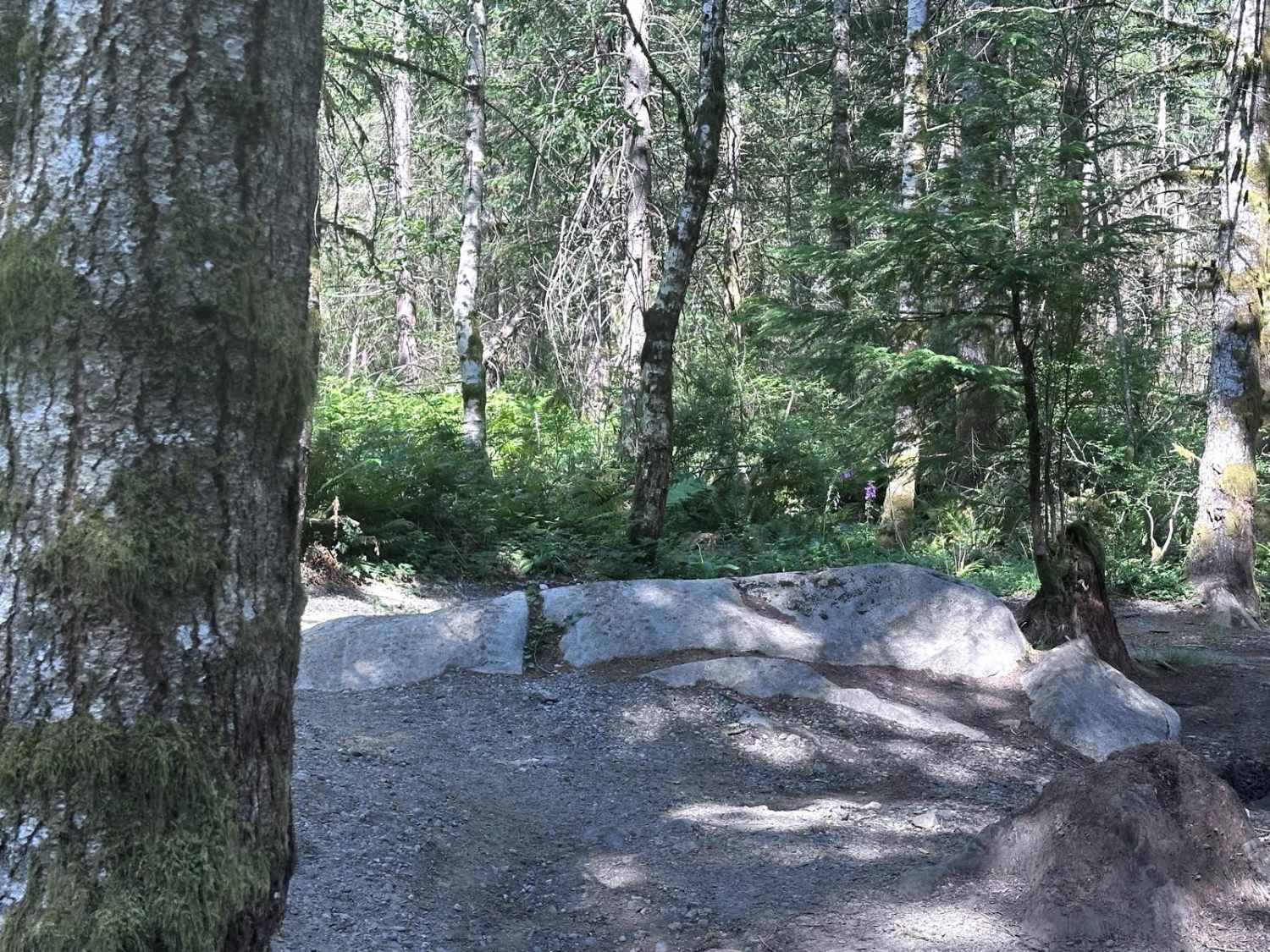
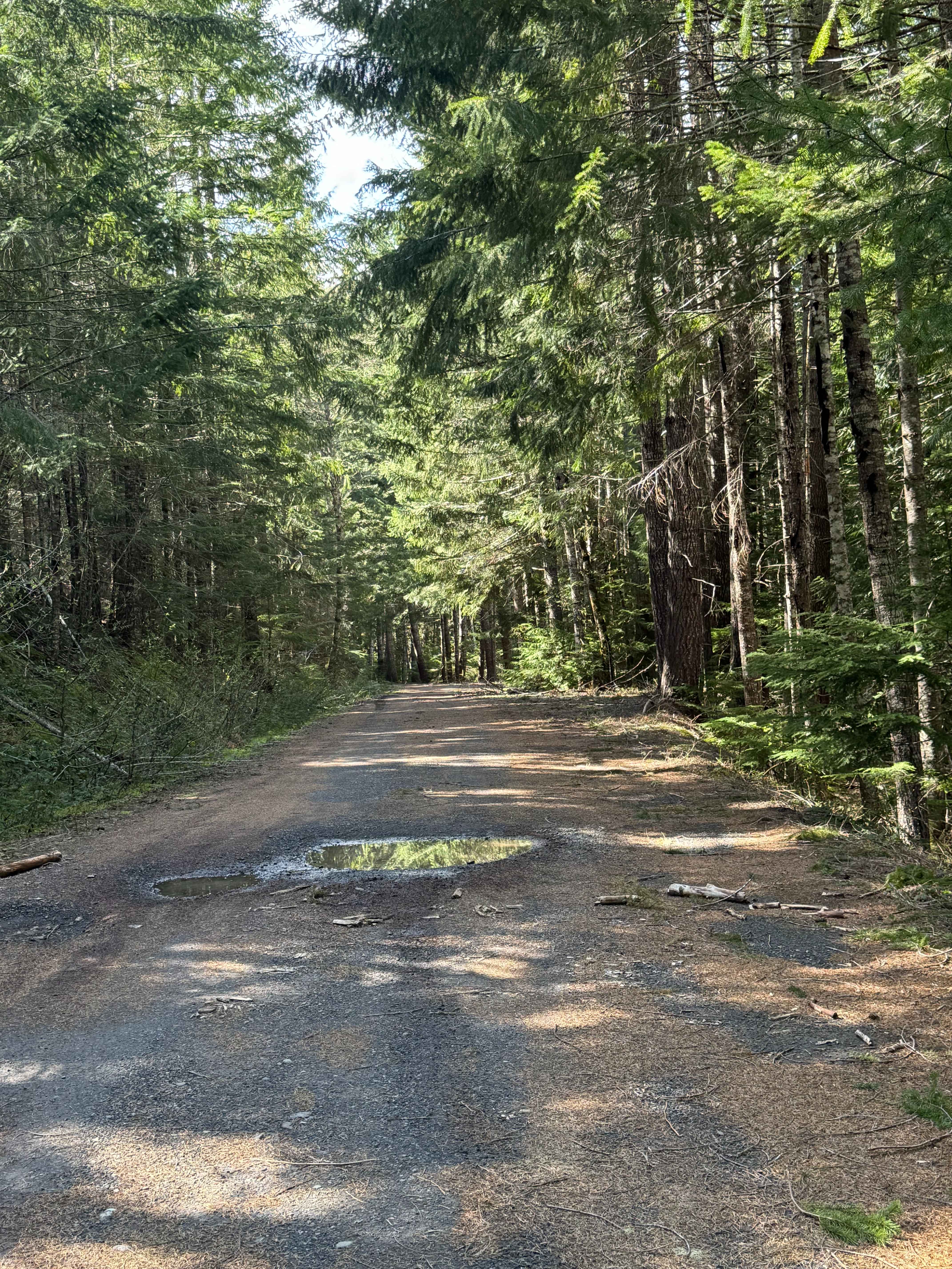
The terrain consists of well-compacted dirt mixed with basalt rock gravel. There are areas for pull-off spots for vehicles to pass, although some areas may present narrower passages where there is a potential for side panel contact. The route is characterized by steep climbs and descents, in addition to sections suitable for small boulder crawling. Long flat stretches of hardpan and basalt rock make for a nice place to pull over and stretch your legs.
Status Reports
Manastash Ridge can be accessed by the following ride types:
- High-Clearance 4x4
- SxS (60")
- ATV (50")
- Dirt Bike
Manastash Ridge Map
Popular Trails
Church Creek Area Trail
Rainy Creek Trail
Carlton Creek Road- FS 4400
The onX Offroad Difference
onX Offroad combines trail photos, descriptions, difficulty ratings, width restrictions, seasonality, and more in a user-friendly interface. Available on all devices, with offline access and full compatibility with CarPlay and Android Auto. Discover what you’re missing today!