Johnson Ridge Trail
Total Miles
6.8
Technical Rating
Best Time
Spring, Summer
Trail Type
Full-Width Road
Accessible By
Trail Overview
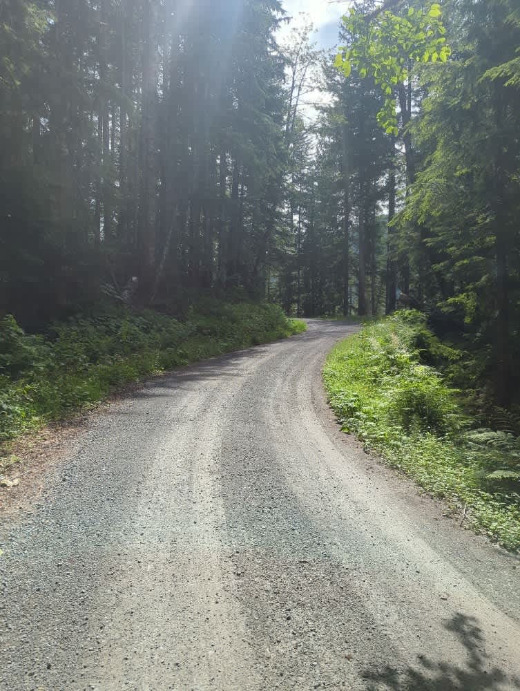
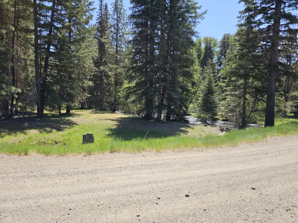
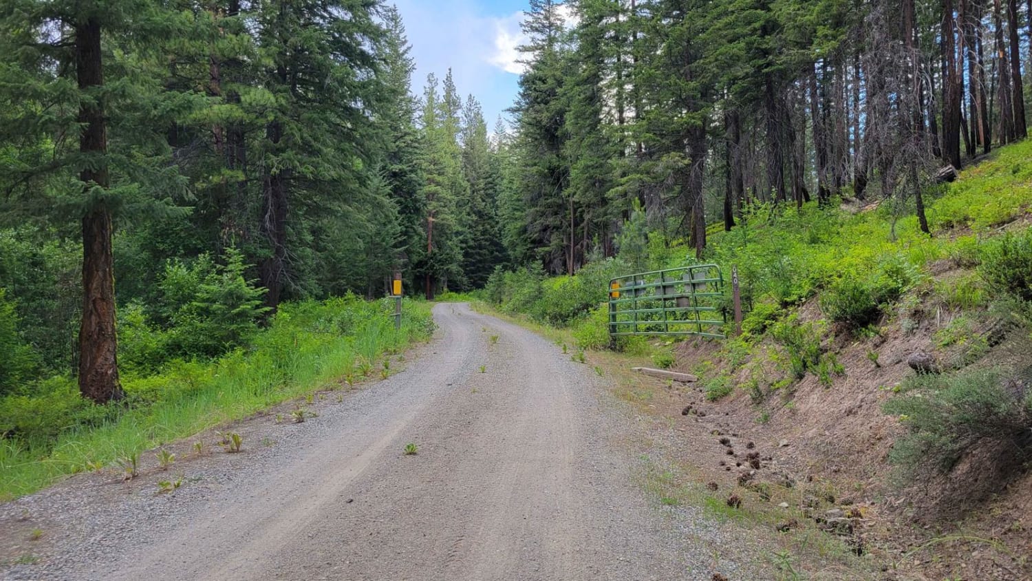
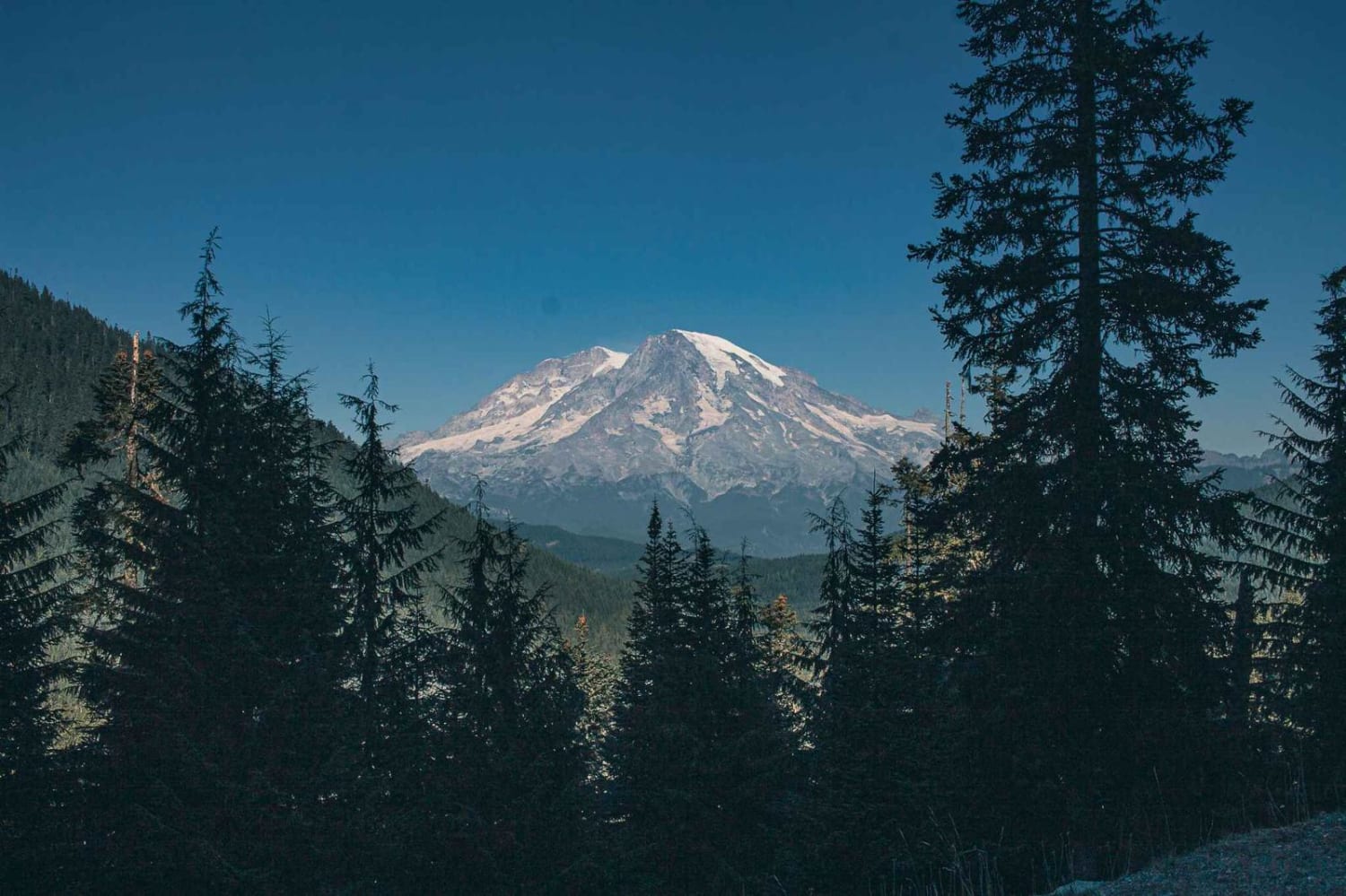
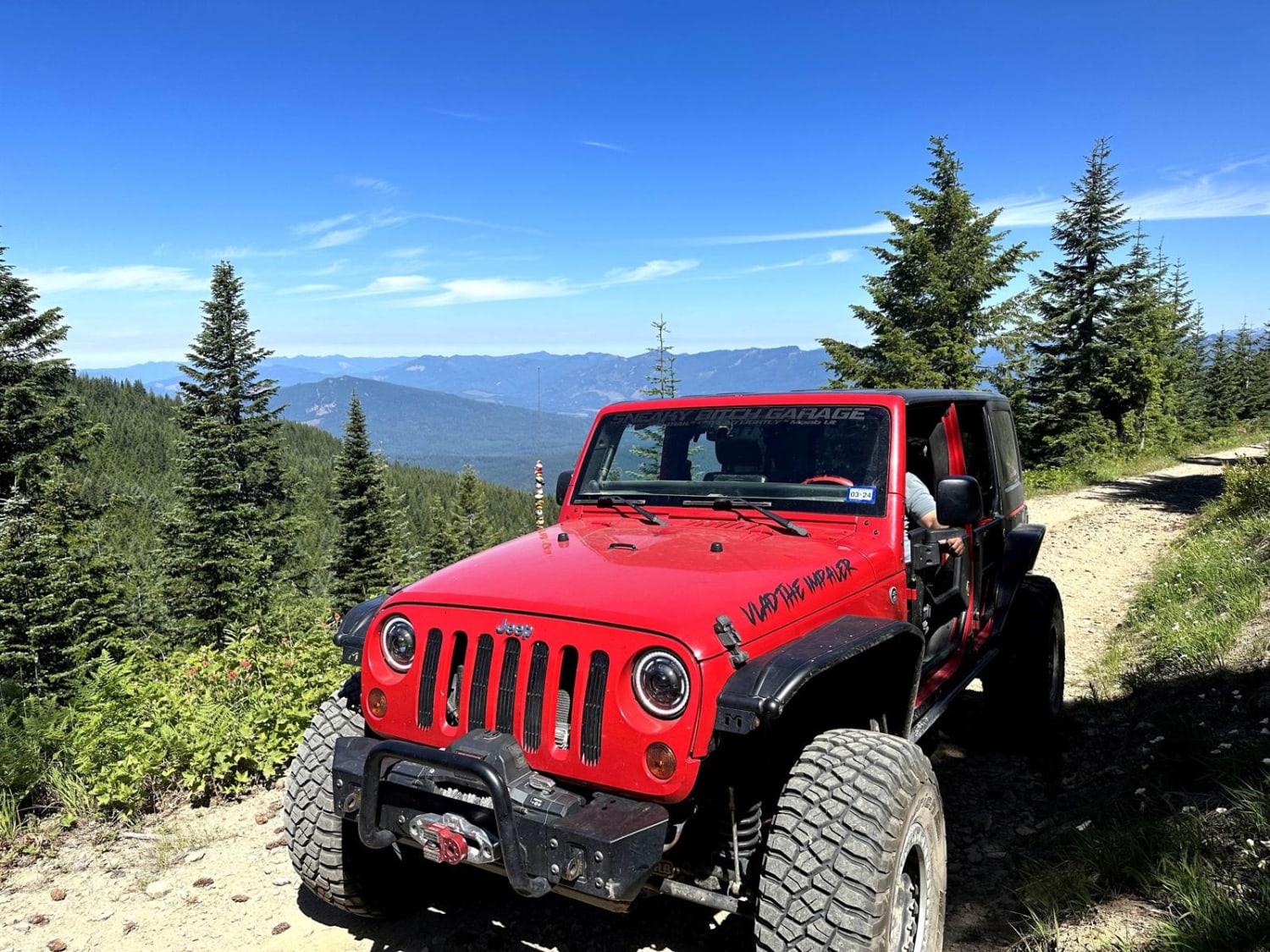
This 7-mile climb begins in dense forest on a well-maintained forest service road. As the trail climbs, occasional breaks in the trees reveal glimpses of the valley below. Starting at mile 4, the road condition becomes somewhat degraded with mild rutting, narrow, brushy sections, and some areas of rockfall waiting to assault an unsuspecting sidewall. Grouse are abundant in the area, and black bears have also been sighted. There are a few dispersed camping opportunities along the route. Climbing higher, the views begin to open up, and you can see miles in every direction. The trail ends at the Johnson Ridge trailhead, a fairly popular trail, so expect to see some traffic.
Photos of Johnson Ridge Trail

Difficulty
This road should be easy to travel with any 4WD vehicle, and most 2WD vehicles. The ruts are not deep, but be mindful of large rocks.
Johnson Ridge Trail can be accessed by the following ride types:
- High-Clearance 4x4
- SUV
- SxS (60")
Johnson Ridge Trail Map
Popular Trails
Cow Creek Road 4415040
Berry Creek
Burley Mountain Road
The onX Offroad Difference
onX Offroad combines trail photos, descriptions, difficulty ratings, width restrictions, seasonality, and more in a user-friendly interface. Available on all devices, with offline access and full compatibility with CarPlay and Android Auto. Discover what you’re missing today!