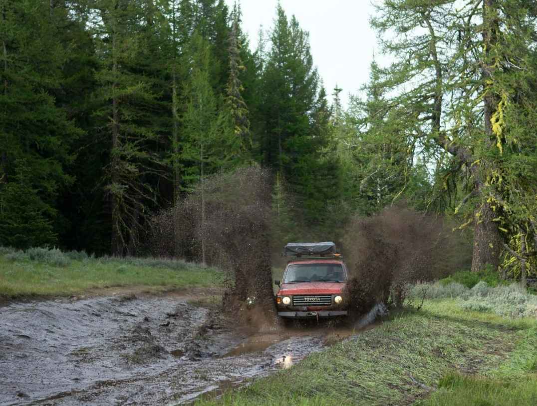
Calispell Peak
Total Miles
61.2
Technical Rating
Best Time
Trail Type
Full-Width Road
Accessible By
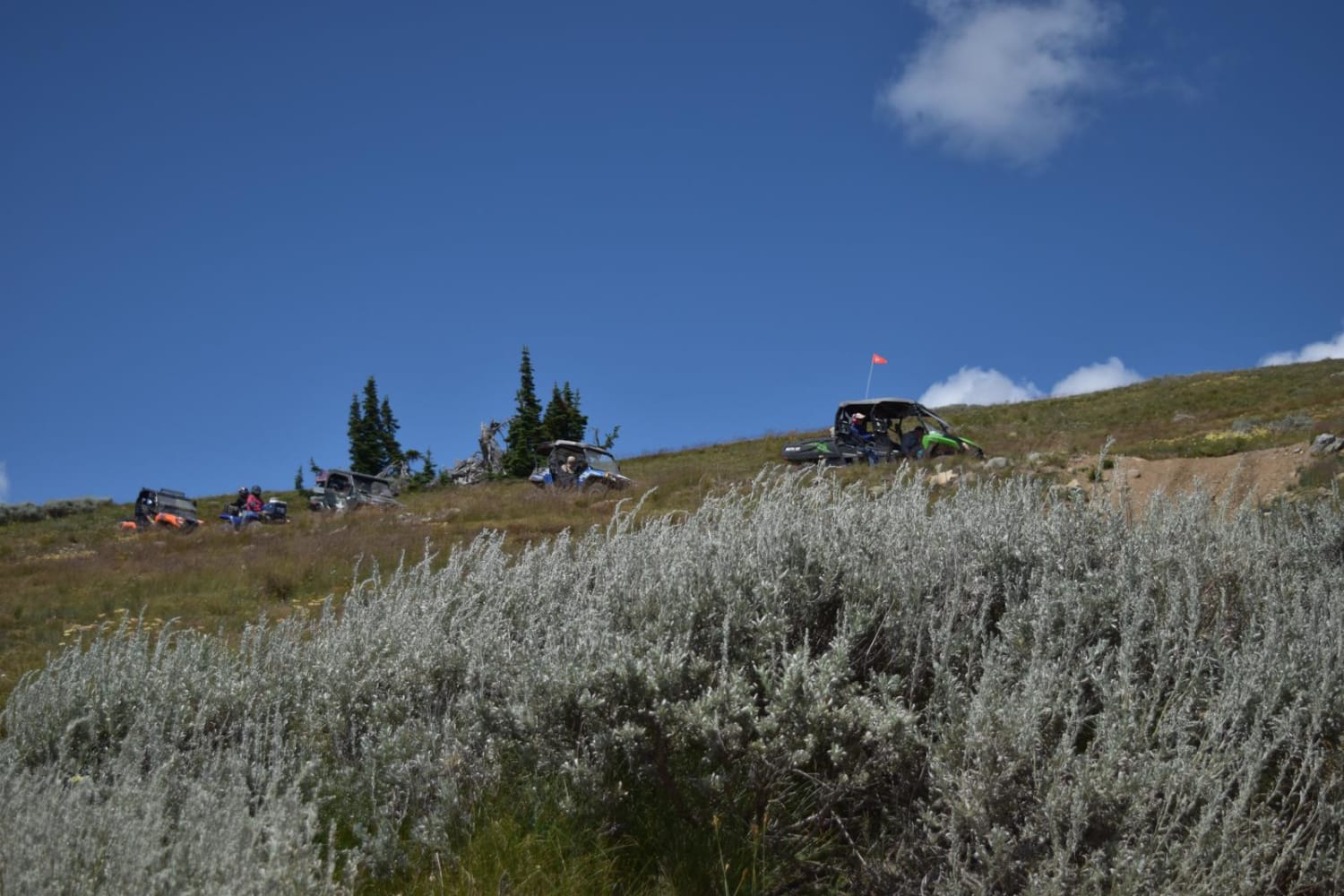
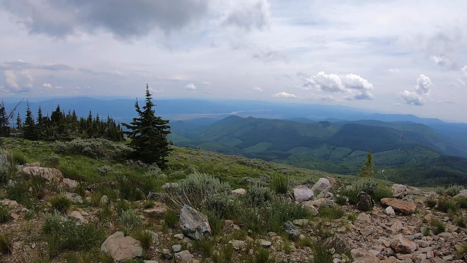
Trail Overview
This is a major excursion route. Combination of paved road out of Chewelah, gravel road, and steep rocky parts as you get on the Calispell Peak Road. It is a rough, bouncy, two mile section that is well worth the time and effort to get to the top.
Photos of Calispell Peak
Status Reports
Calispell Peak can be accessed by the following ride types:
- High-Clearance 4x4
- SUV
- SxS (60")
- ATV (50")
- Dirt Bike
Calispell Peak Map
Popular Trails
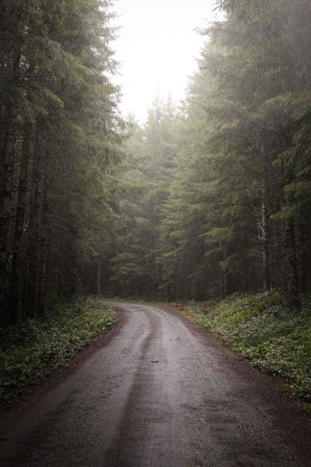
Capitol State Forest Smooth Cruise
Total Miles
4.0
Tech Rating
Easy
Best Time
Su / Sp / Fa
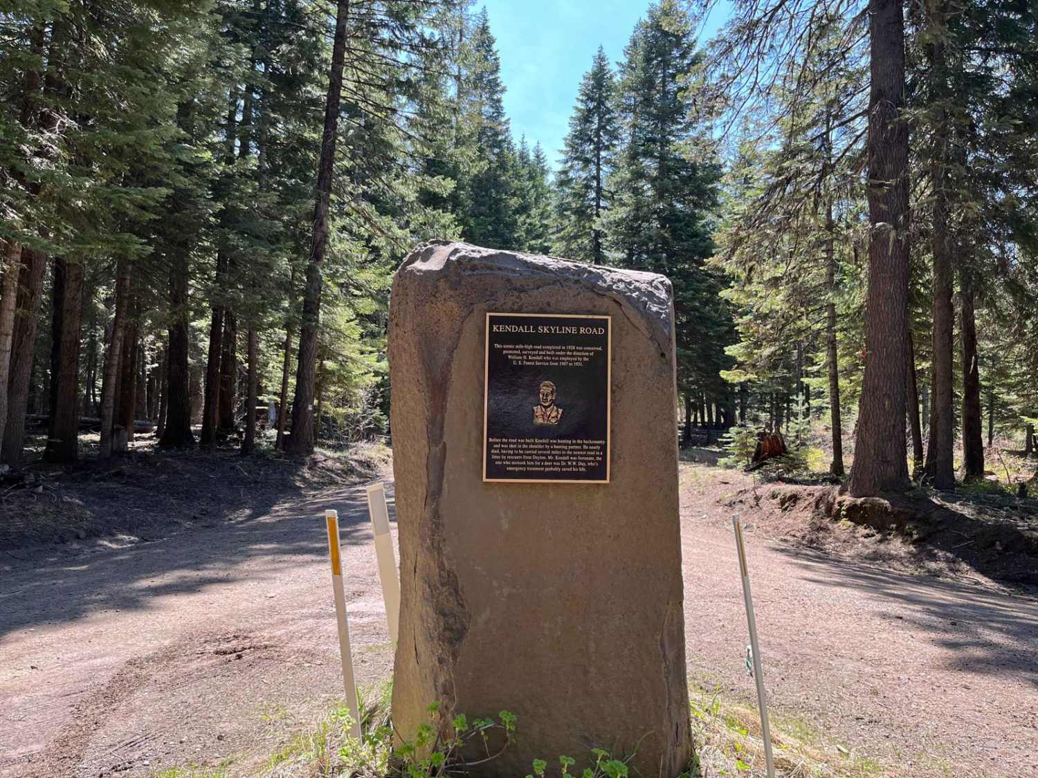
Kendall Monument Trail
Total Miles
21.5
Tech Rating
Easy
Best Time
Sp / Su / Fa

Skull Springs - E1730
Total Miles
5.0
Tech Rating
Easy
Best Time
Sp / Su / Fa
Oak Creek - NF 1400
Total Miles
3.9
Tech Rating
Easy
Best Time
Su / Fa
The onX Offroad Difference
onX Offroad combines trail photos, descriptions, difficulty ratings, width restrictions, seasonality, and more in a user-friendly interface. Available on all devices, with offline access and full compatibility with CarPlay and Android Auto. Discover what you’re missing today!