Sherlock Peak Byway
Total Miles
8.0
Technical Rating
Best Time
Spring
Trail Type
Full-Width Road
Accessible By
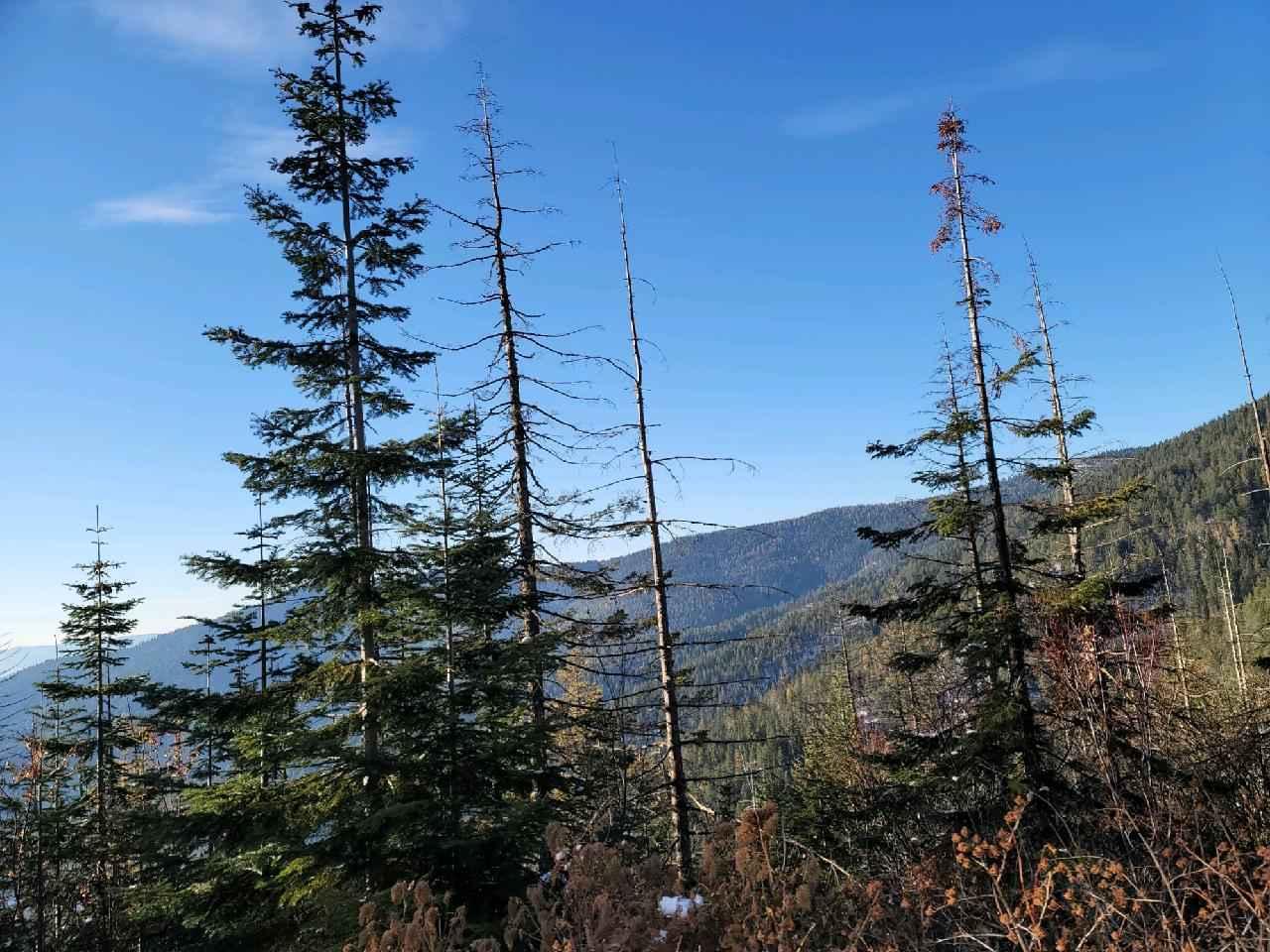
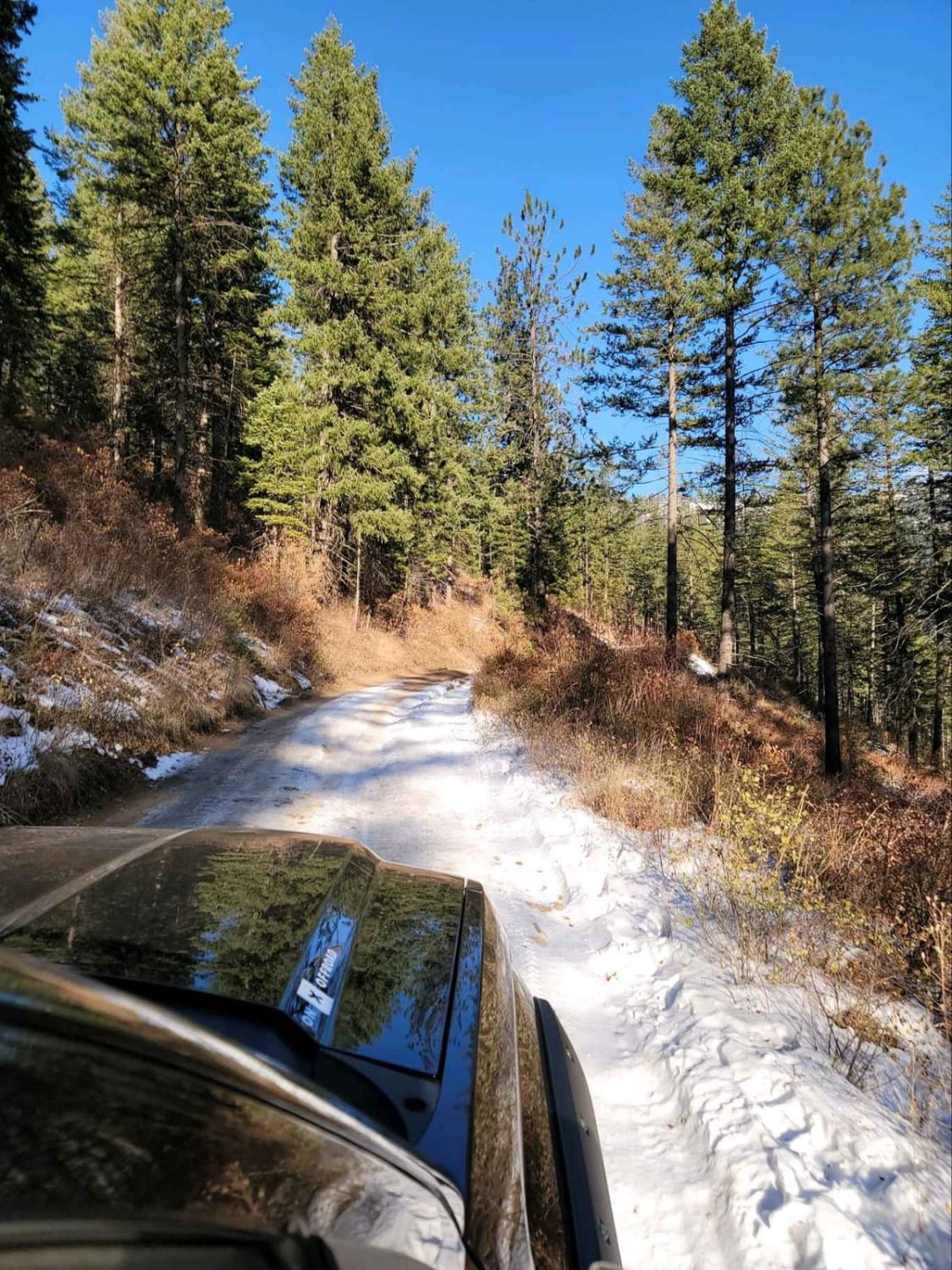
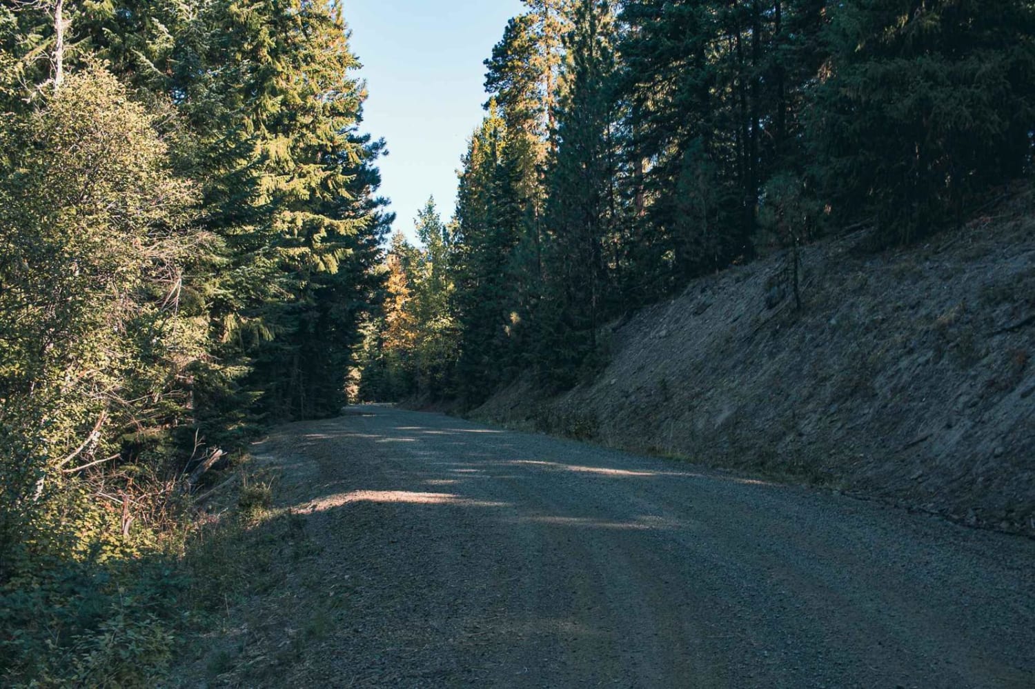
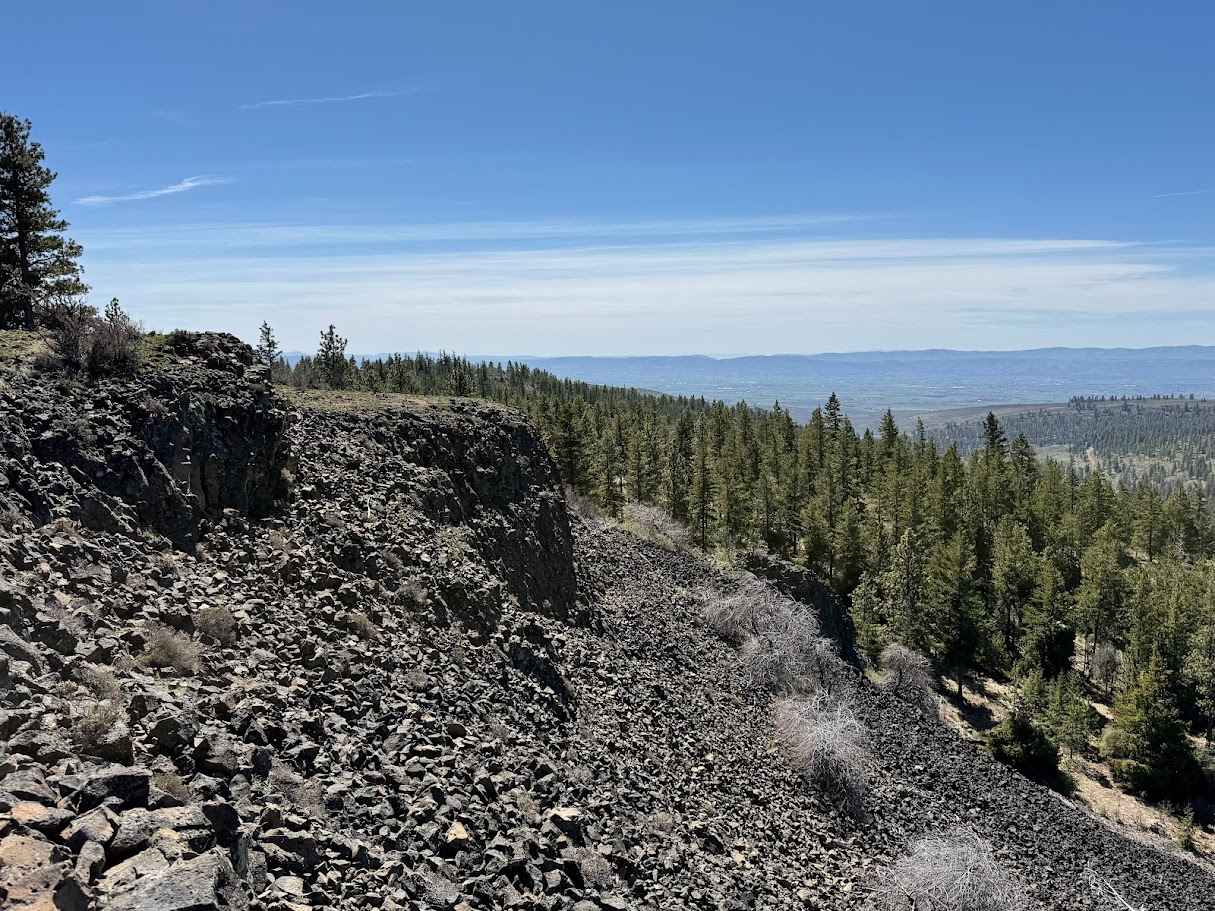
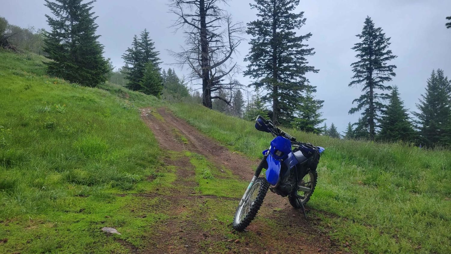
Trail Overview
This Sherlock Peak Byway gives a slow steady drive with some washed-out areas of the road during Spring and Fall. Along this trail, you'll see great views and deep treed areas providing an enjoyable ride any time of the year. It also encompasses part of the Cottonwood Divide Trail and joins the Cottonwood Trail to Cottonwood Divide Trail.
Photos of Sherlock Peak Byway
Difficulty
This trail is mainly forest service roads with some wash-outs during the Spring and Fall.
Status Reports
Sherlock Peak Byway can be accessed by the following ride types:
- High-Clearance 4x4
- SUV
- SxS (60")
- ATV (50")
- Dirt Bike
Sherlock Peak Byway Map
Popular Trails
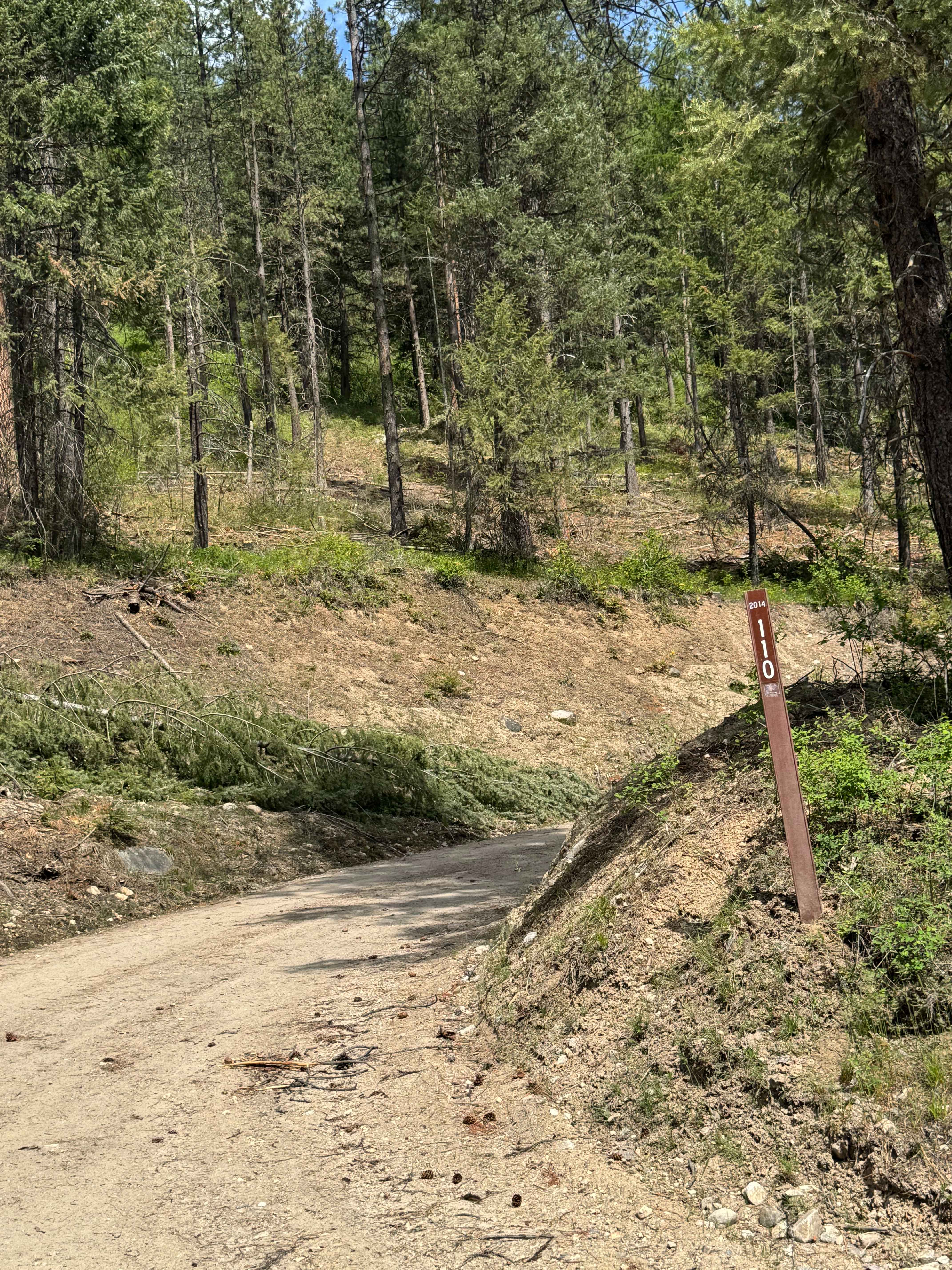
FS 2014-110
Spencer Creek
Upper Buck Mountain
The onX Offroad Difference
onX Offroad combines trail photos, descriptions, difficulty ratings, width restrictions, seasonality, and more in a user-friendly interface. Available on all devices, with offline access and full compatibility with CarPlay and Android Auto. Discover what you’re missing today!