Basin
Total Miles
1.2
Technical Rating
Best Time
Summer, Fall
Trail Type
High-Clearance 4x4 Trail
Accessible By
Trail Overview
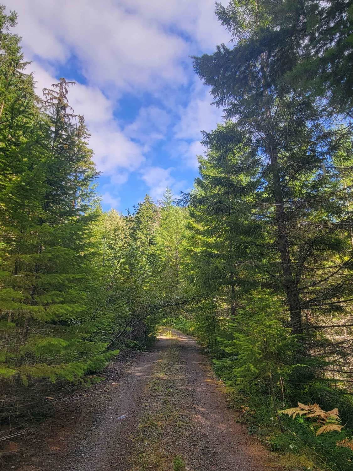
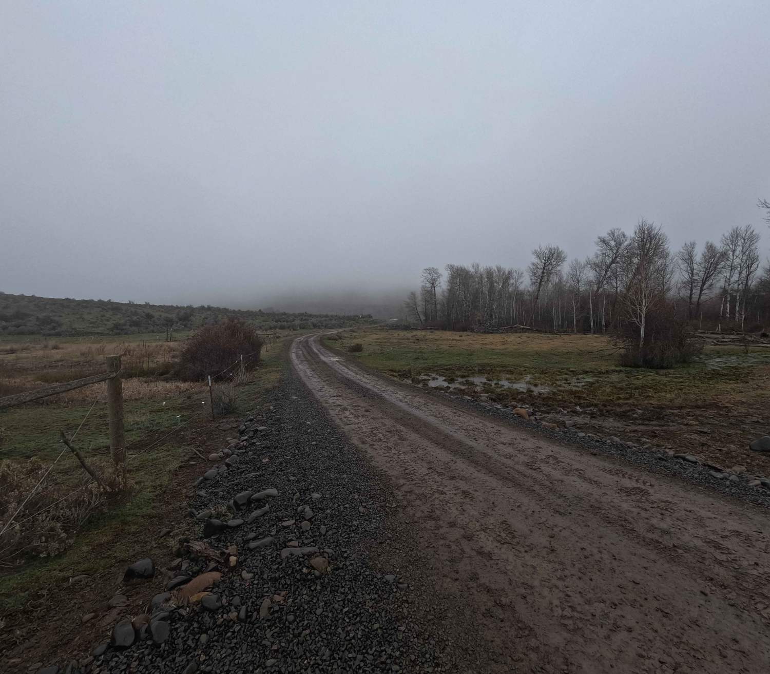
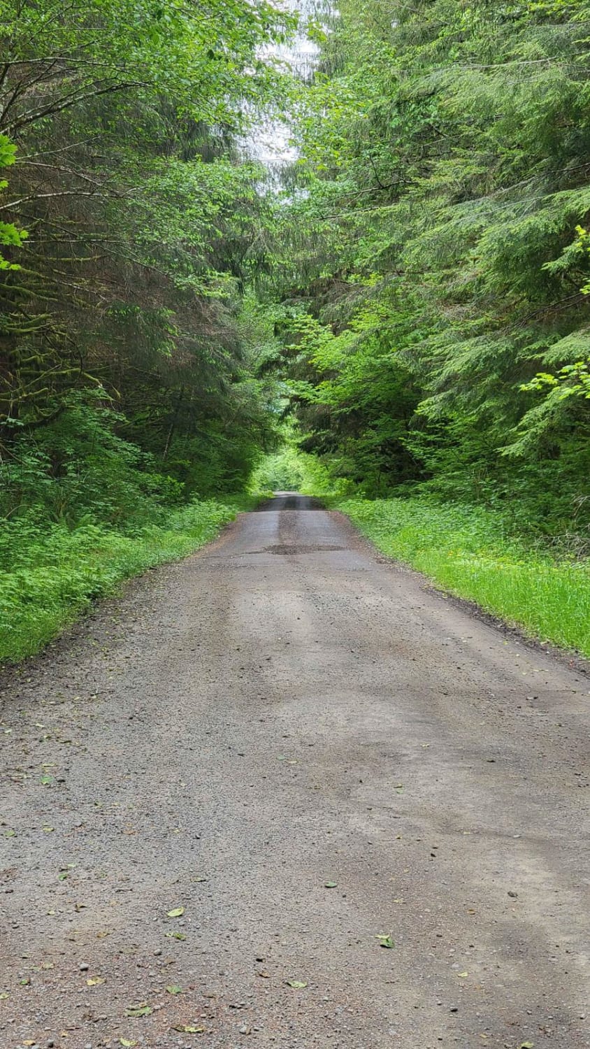
At the edge of Mount Reiner, nestled in the Gifford Pinchot Forest just south of the Nisqually River, Basin hides along Forest Road 52 just a few miles down Marten. It is a densely forested road containing a few campsites and ending in a large campsite. Dulah, along this path, is no longer accessible. Fallen trees make for an unlikely adventure for tall vehicles. But if you are looking for an adventurous trail not too far from civilization, this is an excellent trail to test your abilities. There were no visible water access points. Near the end of the trail, a log in the road makes high clearance or a chainsaw necessary.
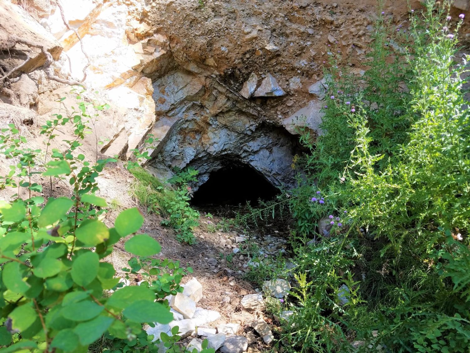
Photos of Basin

Difficulty
At the time of mapping this out a small log in the road needed 20 inches of clearance. The road has deep cuts due to water run-off leading to driving relatively sideways at points. This trail is a single-car-wide trail. The end of the trail needed to be mapped on foot.
Status Reports
Basin can be accessed by the following ride types:
- High-Clearance 4x4
Basin Map
Popular Trails
Hole In The Wall/Hunger Repeater Road - 2922
Colville-Dominion Mtn
The onX Offroad Difference
onX Offroad combines trail photos, descriptions, difficulty ratings, width restrictions, seasonality, and more in a user-friendly interface. Available on all devices, with offline access and full compatibility with CarPlay and Android Auto. Discover what you’re missing today!