Derailleur
Total Miles
1.6
Technical Rating
Best Time
Spring, Fall
Trail Type
Single Track
Accessible By
Trail Overview
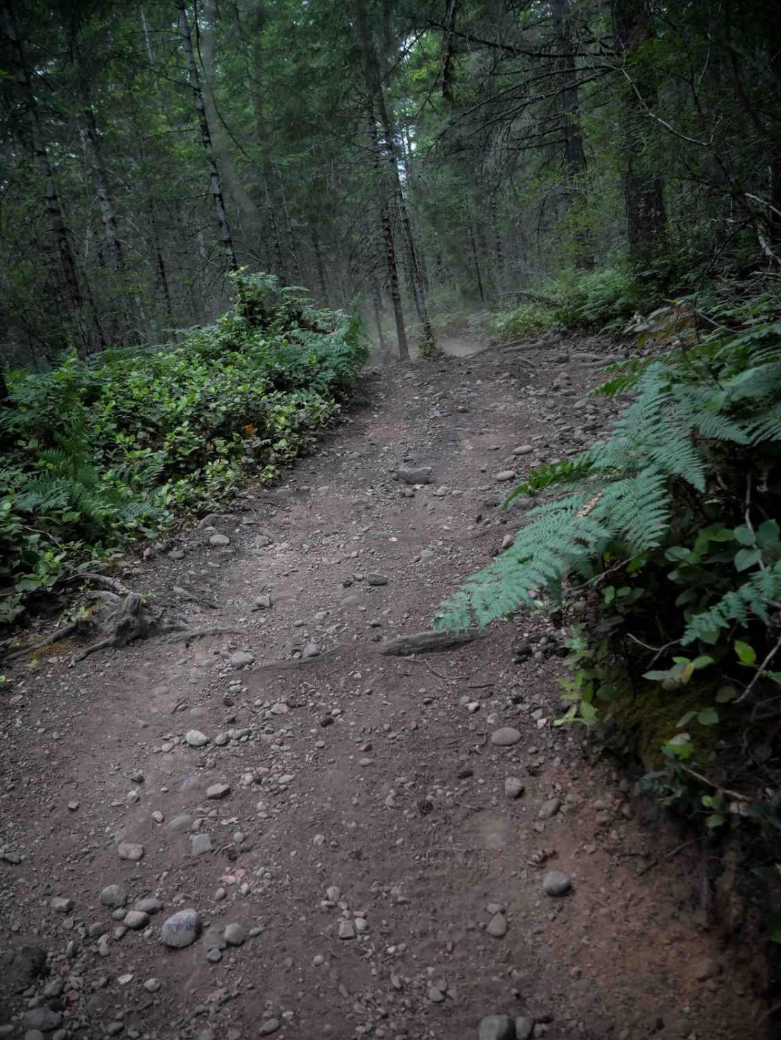
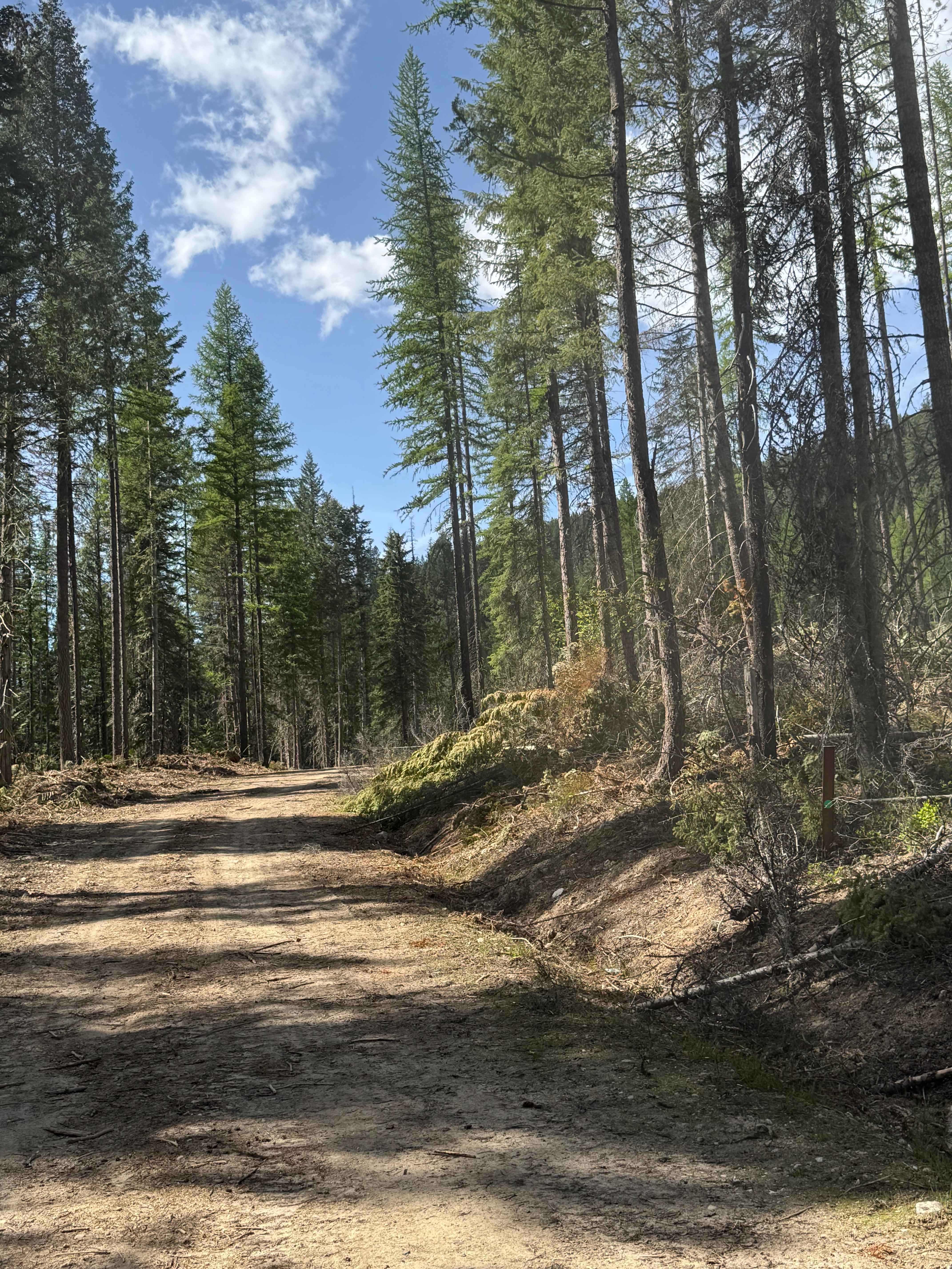
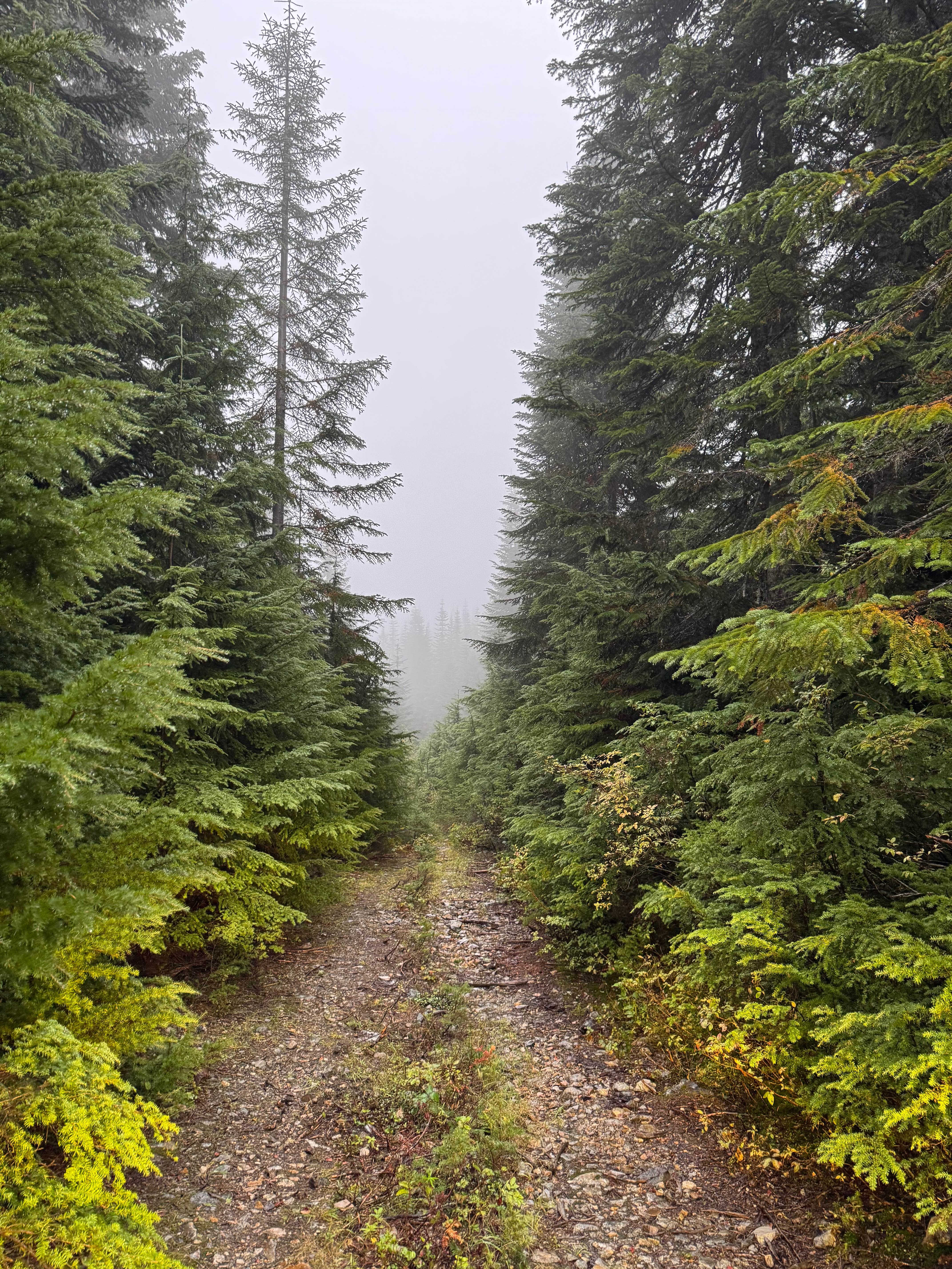
Derailleur is a 1.6-mile moderately easy singletrack trail that makes a loop off of Mission Creek Trail. It winds tightly through a dense forest with flowy but frequent curves, offering a fun and rhythmic ride. Some brushy areas reduce visibility, and riders should watch for a few larger root obstacles along the route. The trail is well-marked, with signs alerting riders in advance of upcoming road crossings, which helps maintain safety and flow throughout.
Photos of Derailleur


Difficulty
This is a moderate trail due to its curvy, brush-lined path and intermittent root features, though it remains approachable for intermediate riders and confident beginners.
Status Reports
Derailleur can be accessed by the following ride types:
- Dirt Bike
Derailleur Map
Popular Trails

Doe Creek Forest Road
Twin Lake/ Cold Creek Road
The onX Offroad Difference
onX Offroad combines trail photos, descriptions, difficulty ratings, width restrictions, seasonality, and more in a user-friendly interface. Available on all devices, with offline access and full compatibility with CarPlay and Android Auto. Discover what you’re missing today!