4W330 Tipover
Total Miles
2.5
Technical Rating
Best Time
Fall, Summer, Spring
Trail Type
High-Clearance 4x4 Trail
Accessible By
Trail Overview
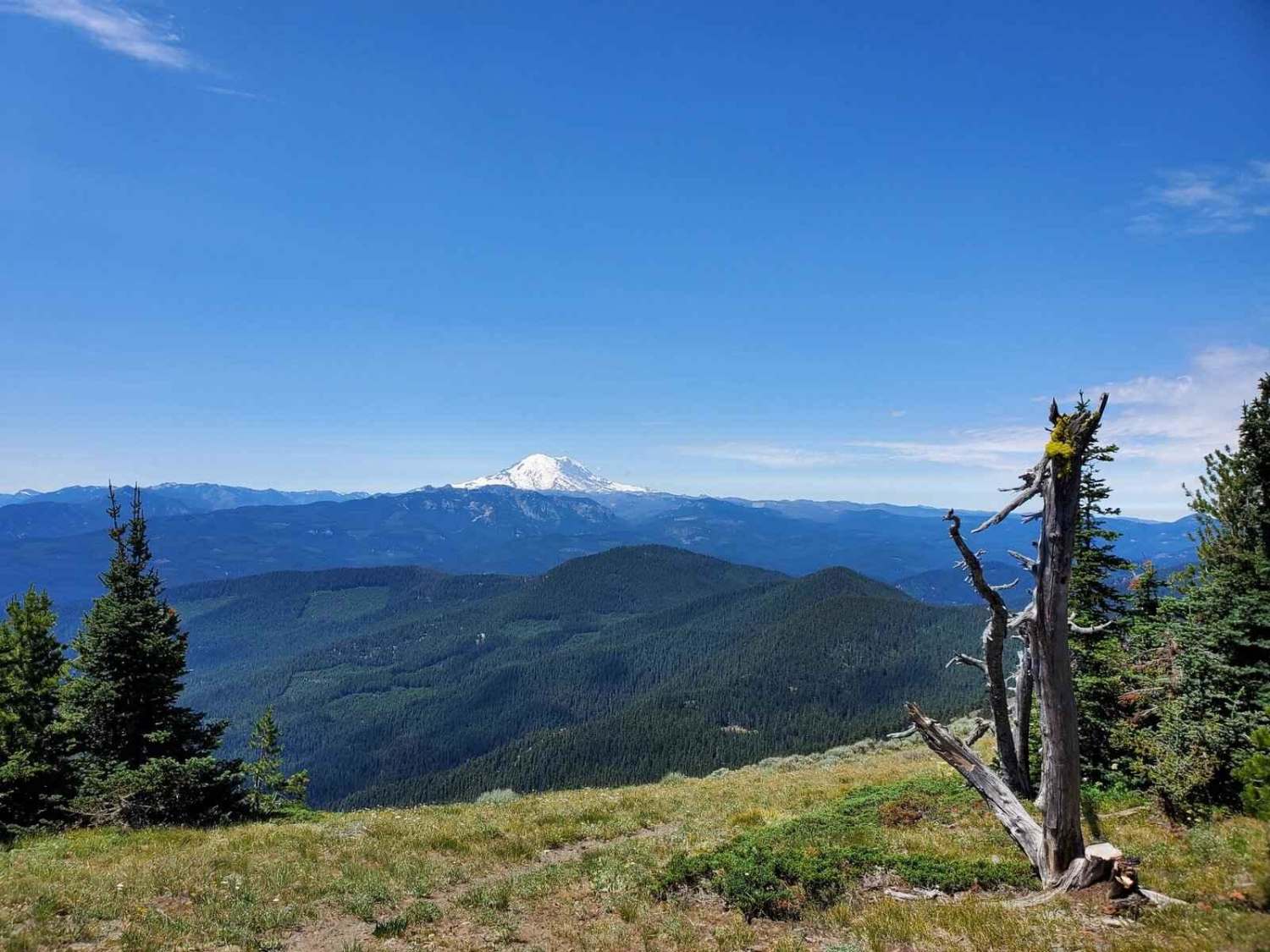
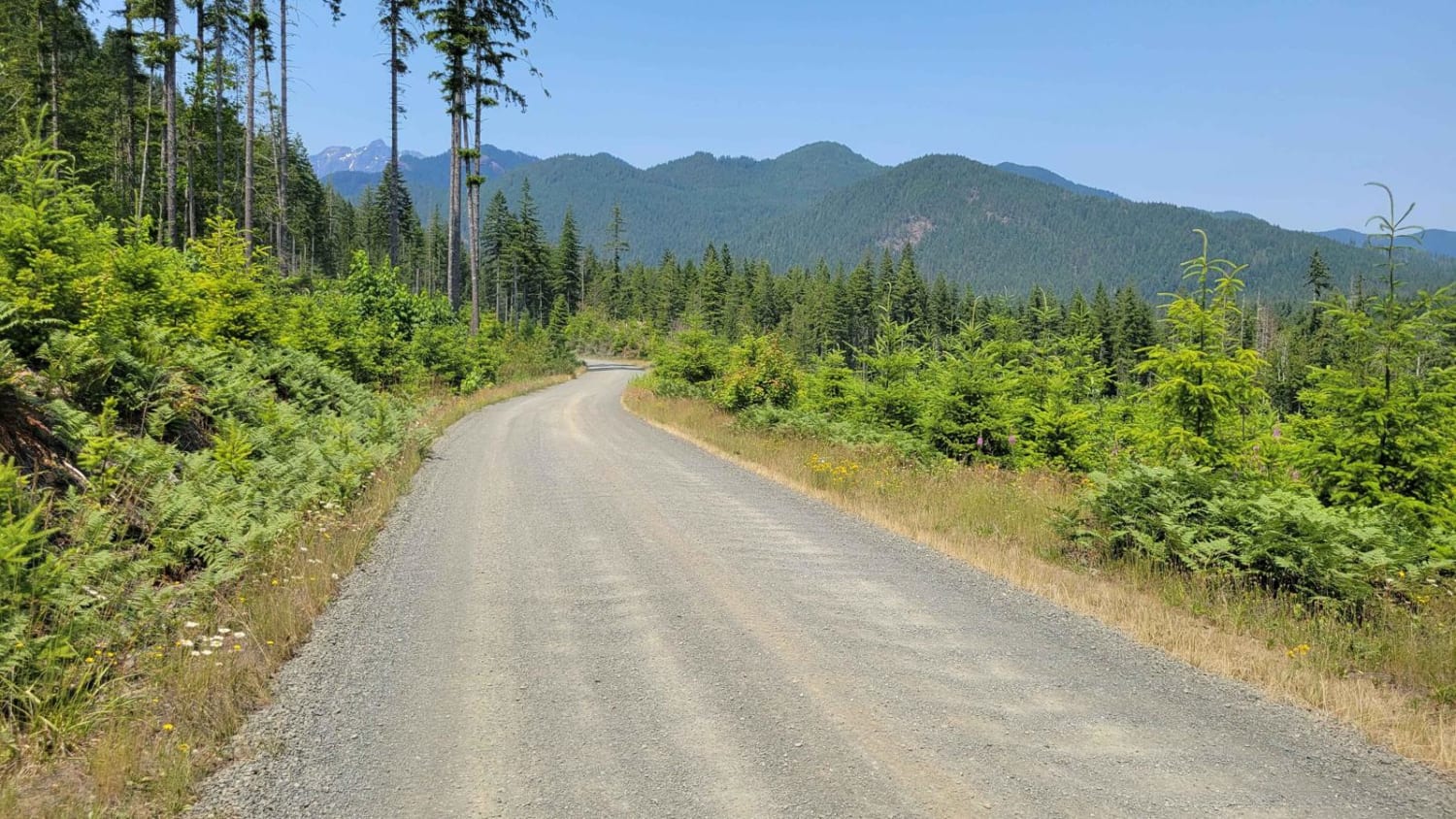
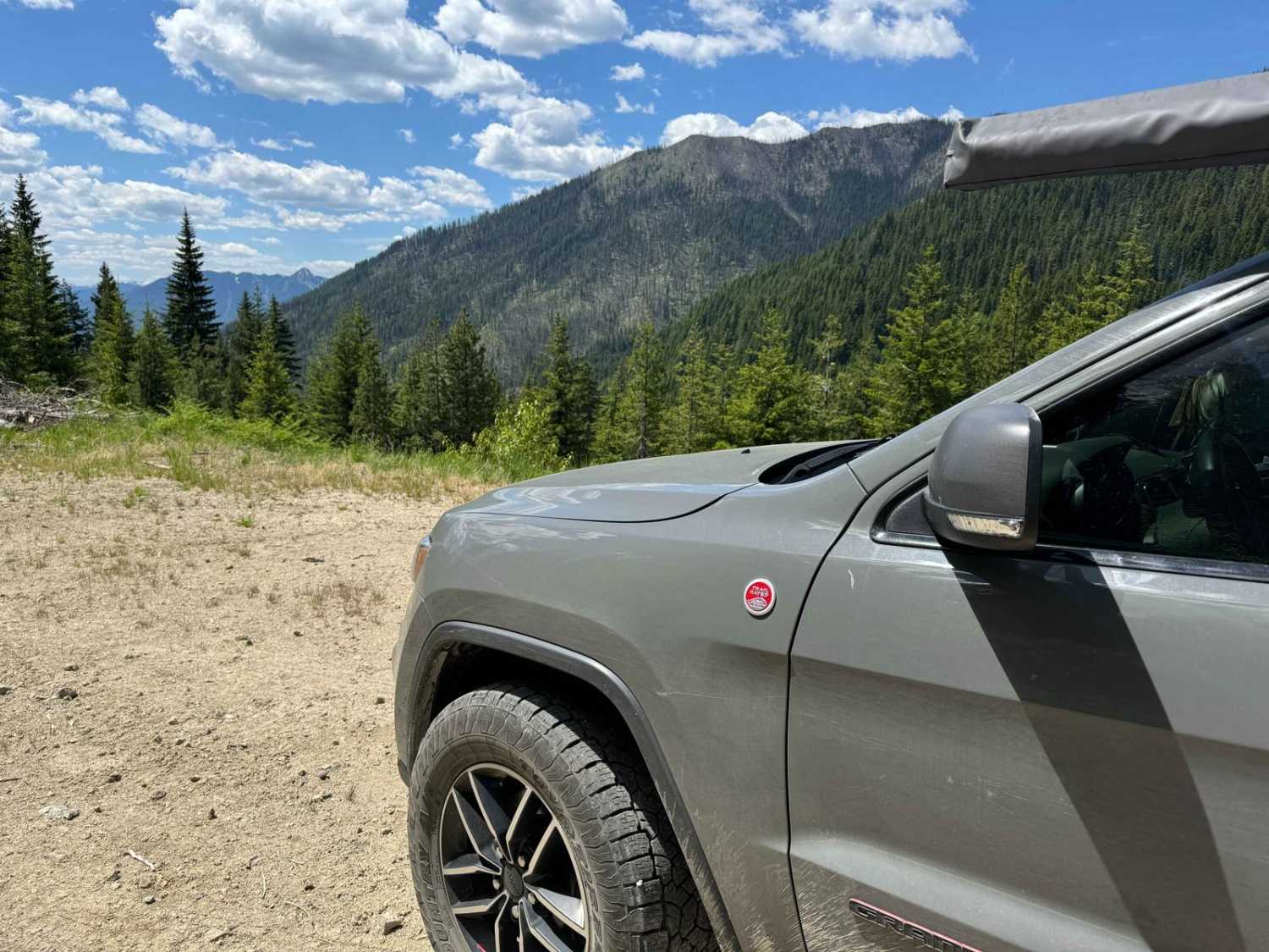
Tipover is located in the Okanogan-Wenatchee National Forest. The trail ascends 2.5 miles to an elevation of just over 5,900 feet. Most of the trail is covered in lava rock and loose dirt, with towering rock walls rising above. Just when you think you'll escape the rocky path, you enter the Silver Forest, a section of the forest that burned a few years ago. The trees have a distinctive silver sheen that catches the light; when the sun hits them, they shimmer and reflect its rays.
Photos of 4W330 Tipover
Difficulty
The rugged trail starts with a narrow path through a dark forest filled with dense trees and sharp basalt rocks. It features steep hills and drop-offs that add to the challenge. The trail is narrow and often unstable, requiring careful navigation for vehicles to pass each other safely.
History
The Tipover Trail was named by a local jeep club. This region is known as Manastash, a name that has its origins in the language of the indigenous Yakima people, who traditionally utilized this area. "Manastash" is believed to mean "we are going root digging." In this region, the Yakima Nation harvested the roots of the blue-flowered camas plant, which was a vital component of their diet and served as an important staple food source.
Status Reports
4W330 Tipover can be accessed by the following ride types:
- High-Clearance 4x4
- SxS (60")
- ATV (50")
- Dirt Bike
4W330 Tipover Map
Popular Trails

Hawkins Mountain Overlook (washout)
The onX Offroad Difference
onX Offroad combines trail photos, descriptions, difficulty ratings, width restrictions, seasonality, and more in a user-friendly interface. Available on all devices, with offline access and full compatibility with CarPlay and Android Auto. Discover what you’re missing today!
