Shady Mountain Road
Total Miles
7.6
Technical Rating
Best Time
Fall
Trail Type
Full-Width Road
Accessible By
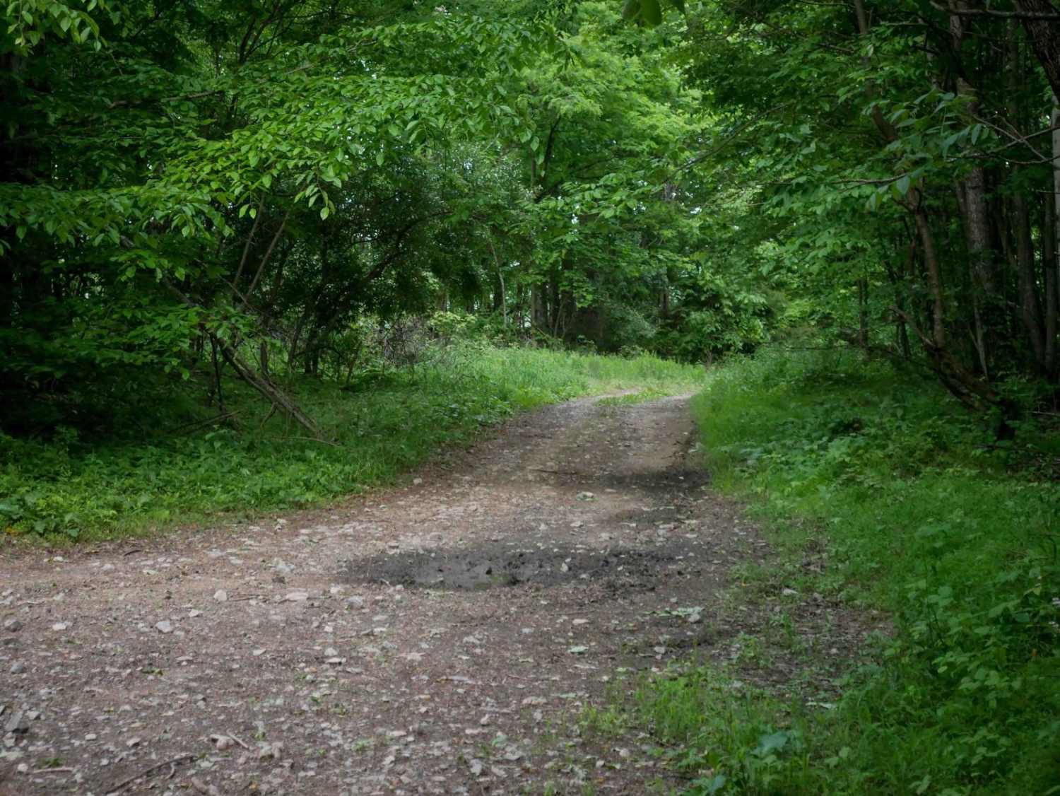
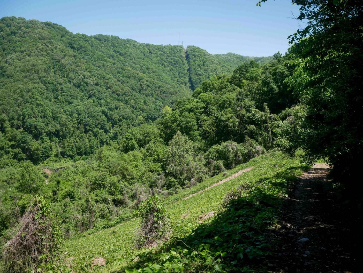
Trail Overview
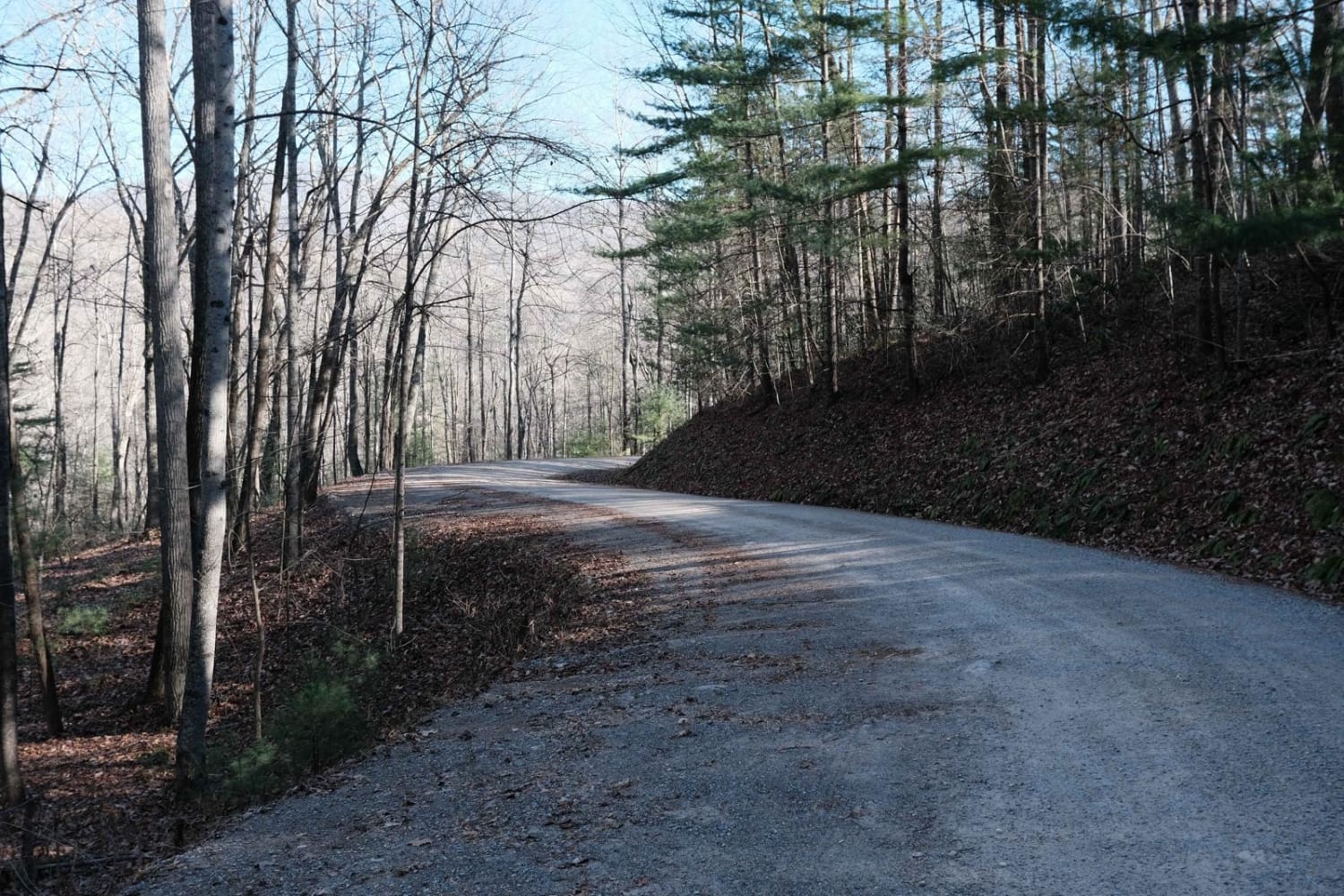
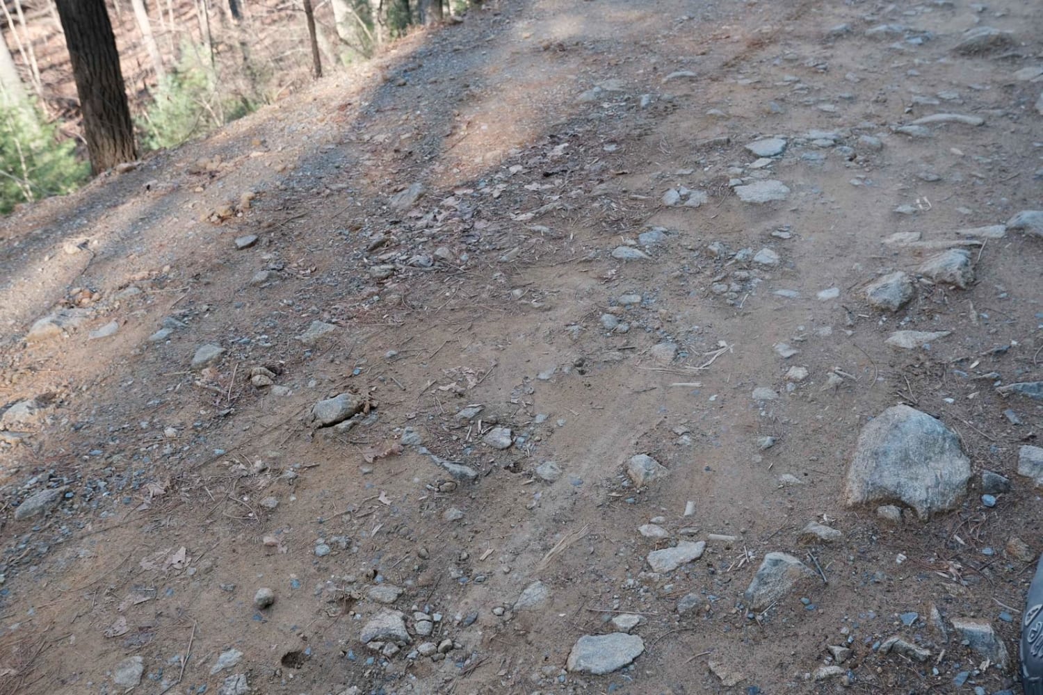
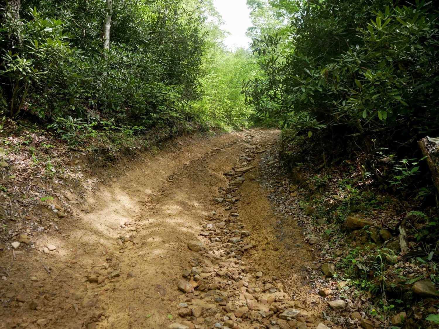
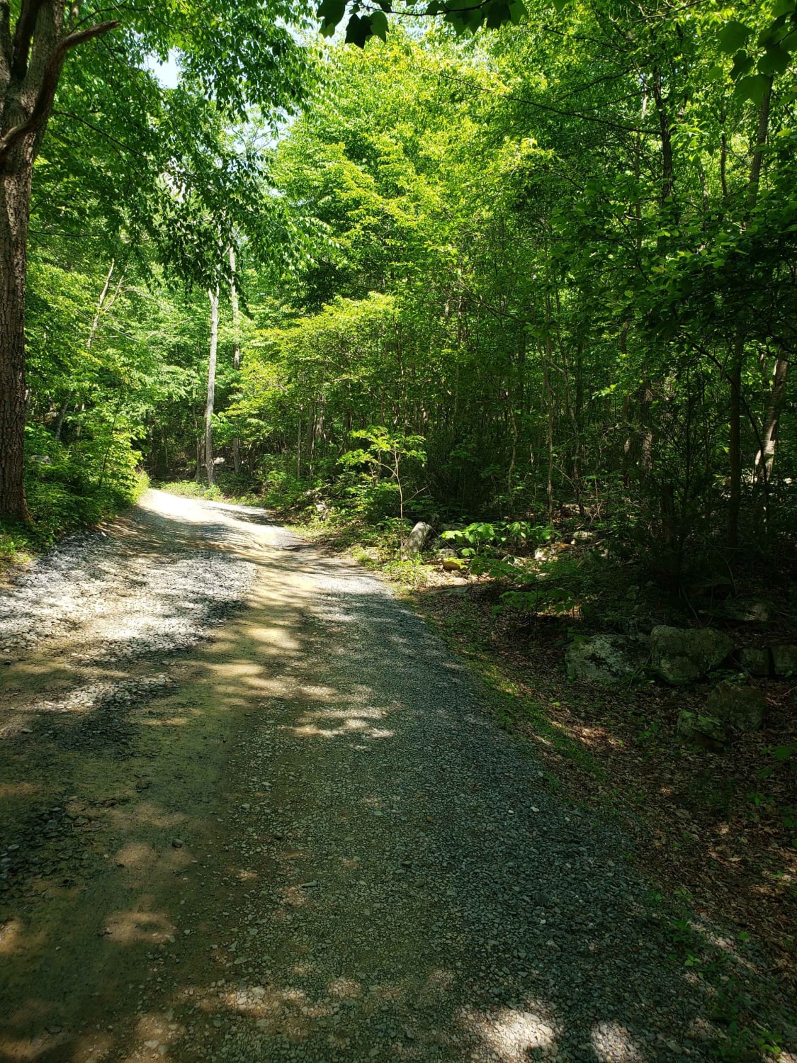
The northern end of Shady Mountain Road starts just east of the Blue Ridge Parkway near the town of Buena Vista. It travels mostly south towards the Lynchburg Reservoir for 7.5 miles. Along the route, there are a few campsites. Some are along spur trails, and a few near the southern terminus are just off the main route. It alternates between graded gravel, packed dirt, and some rocky sections.
Photos of Shady Mountain Road
Difficulty
Outside of steep entrances to campsites, it's well-maintained with just a few banked curves that could be slick in inclement weather.
Status Reports
Shady Mountain Road can be accessed by the following ride types:
- High-Clearance 4x4
- SUV
Shady Mountain Road Map
Popular Trails
Emerald Pond
CC1 (Part 2)
The onX Offroad Difference
onX Offroad combines trail photos, descriptions, difficulty ratings, width restrictions, seasonality, and more in a user-friendly interface. Available on all devices, with offline access and full compatibility with CarPlay and Android Auto. Discover what you’re missing today!