Pedlar River
Total Miles
12.3
Technical Rating
Best Time
Spring, Summer
Trail Type
Full-Width Road
Accessible By
Trail Overview
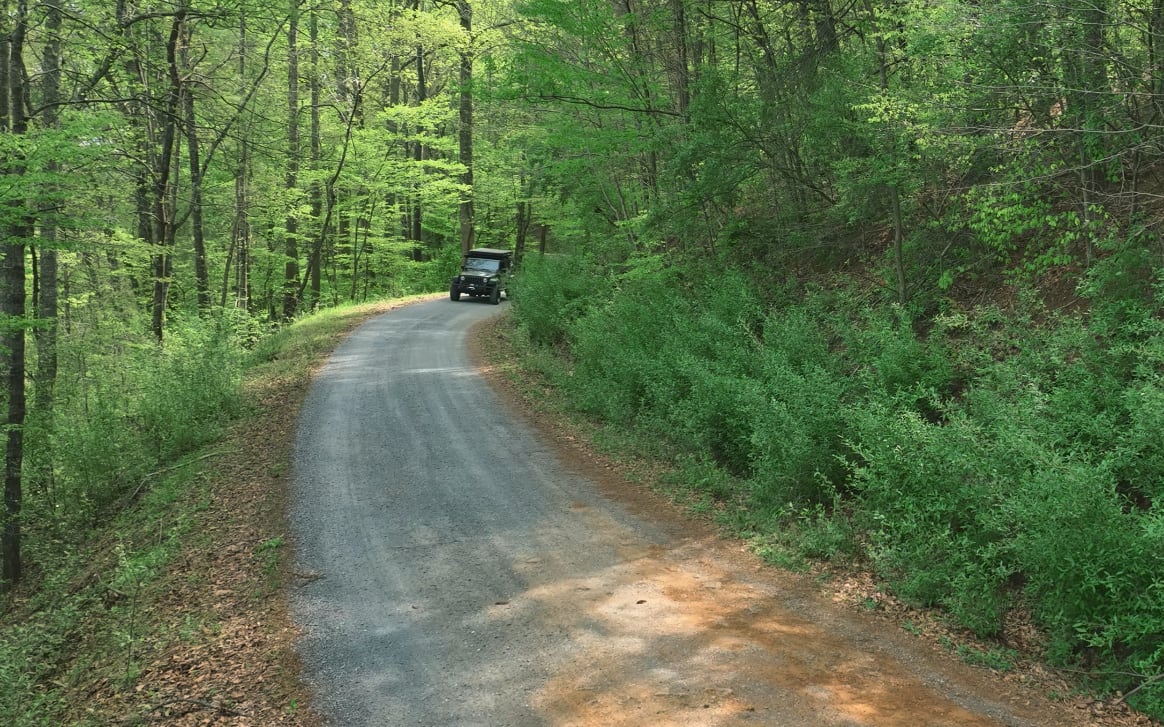
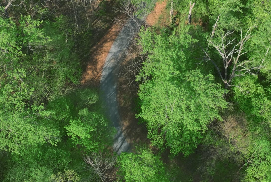
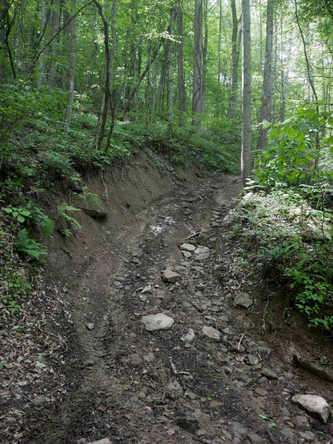
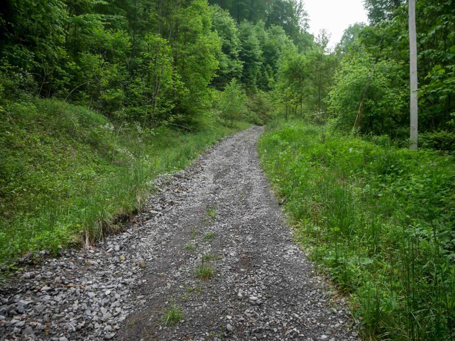
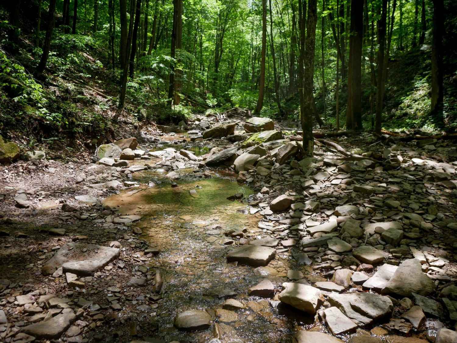
Pedlar River is a basic trail in Virginia's George Washington National Forest. The trail is a maintained Forest Service road with a largely gravel surface and occasional small rocky areas. The trail is two-way, with its northern terminus near the Oronoco Campground. The trail offers decent views of the surrounding mountains and fantastic views of the Lynchburg Reservoir. The trail can easily be completed in 2WD and most passenger vehicles should be able to ride the trail without difficulty. Cell coverage in the area is virtually non-existent. The trail has numerous campsites along its path, and the area is fantastic for spending a weekend getting away from it all.
Photos of Pedlar River
Difficulty
The trail is mostly gravel, with some sporadic bumpy/rocky areas. Any passenger vehicle should be able to complete the trail.
Status Reports
Pedlar River can be accessed by the following ride types:
- High-Clearance 4x4
- SUV
Pedlar River Map
Popular Trails

The onX Offroad Difference
onX Offroad combines trail photos, descriptions, difficulty ratings, width restrictions, seasonality, and more in a user-friendly interface. Available on all devices, with offline access and full compatibility with CarPlay and Android Auto. Discover what you’re missing today!