MV26
Total Miles
1.7
Technical Rating
Best Time
Fall, Spring, Summer, Winter
Trail Type
60" Trail
Accessible By
Trail Overview
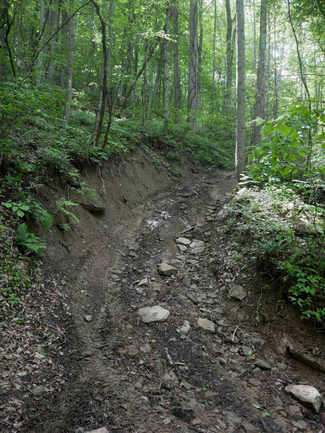
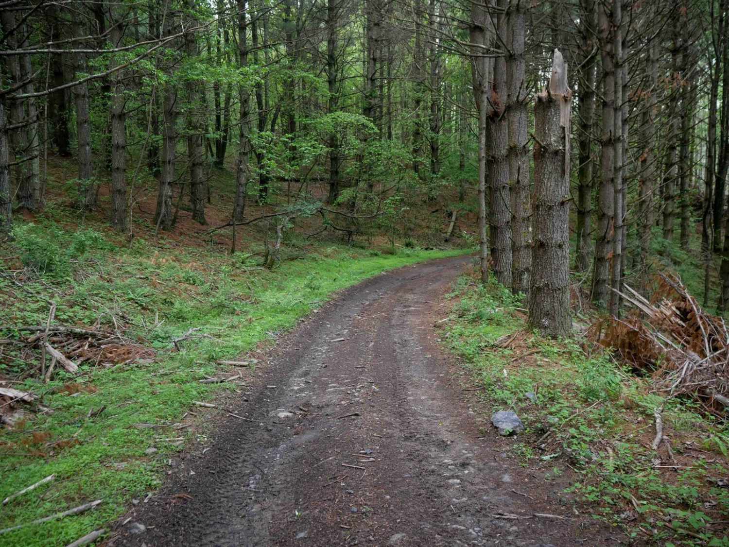
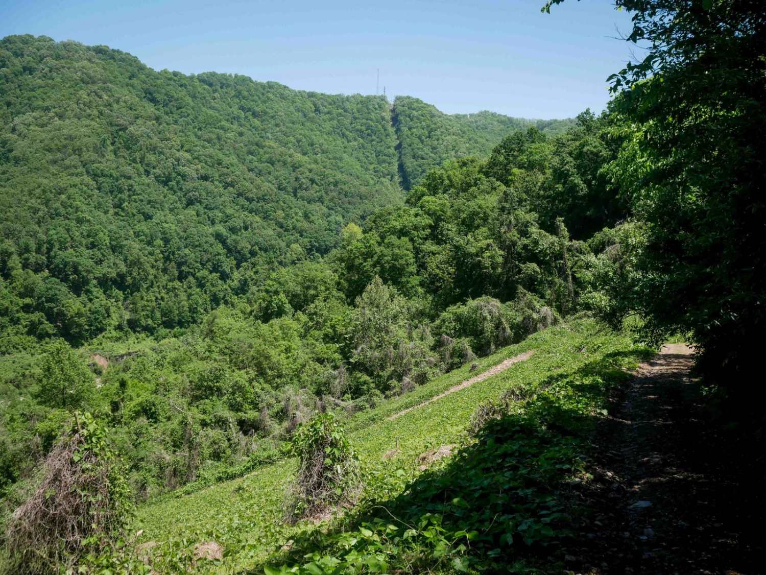
MV26 is a moderately difficult trail featuring a mix of steep grades, narrow shelf sections, and rugged terrain. Starting at the south end, the trail descends steeply with small loose rocks, deep ruts, and tight turns before crossing a small stream. It continues as a shelfy path along the hillside with a heavy layer of decomposing leaves and occasional mud puddles. A significant challenge lies midway through the route with a steep, rutted hill climb that can be difficult to maintain traction on, especially when wet. The trail ends with another stream crossing over Meadows Branch on the north end.
Photos of MV26

Difficulty
This is intermediate due to steep hill climbs and descents with frequent rocks and roots. This is considered Most Difficult by Spearhead's rating system.
Status Reports
MV26 can be accessed by the following ride types:
- SxS (60")
- ATV (50")
- Dirt Bike
MV26 Map
Popular Trails


CC1 (Part 2)
The onX Offroad Difference
onX Offroad combines trail photos, descriptions, difficulty ratings, width restrictions, seasonality, and more in a user-friendly interface. Available on all devices, with offline access and full compatibility with CarPlay and Android Auto. Discover what you’re missing today!