CC1 (Part 2)
Total Miles
11.2
Technical Rating
Best Time
Fall, Spring, Summer, Winter
Trail Type
60" Trail
Accessible By
Trail Overview
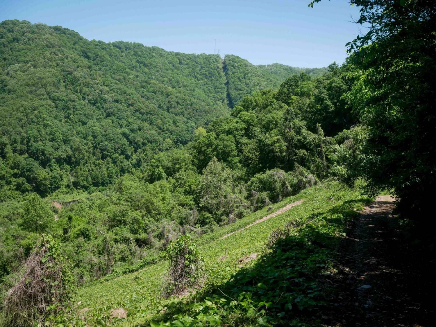
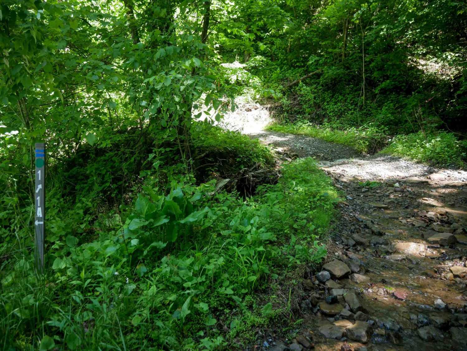
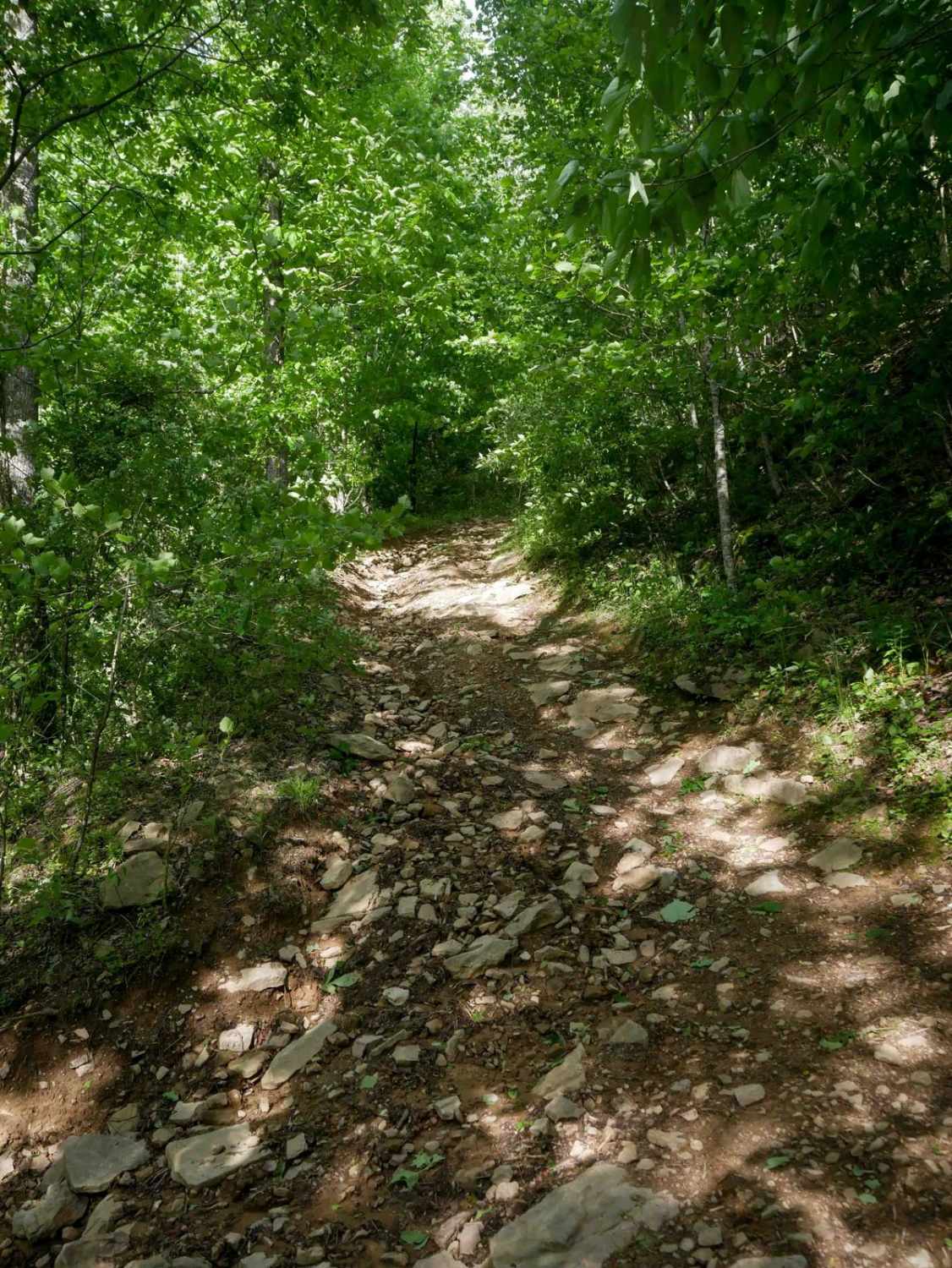
This is an 11-mile easy trail through the Coal Canyon trail system, through mostly easy terrain with a few steeper and rockier sections. It connects the main trail area from the staging area to the northeast trails near the town of Grundy. After almost 7 miles, there is a short section of pavement on State Route 615 (an approved ATV access road) before the trail starts again and continues to take you into the town of Grundy, providing access to fuel and food. Throughout the route, expect a mix of wider and gradual sections, and narrower shelf-style segments cut into the mountainside. Conditions are often wet with light ruts and abundant loose rock, but the overall grade remains easy. The route passes scenic rock walls and streams running down the hillsides, with switchbacks that are manageable due to their width and gentle slope. The final descent into Grundy is steeper, but offers open hillside views, making this a scenic and moderately easy stretch of trail.
Photos of CC1 (Part 2)
Difficulty
Despite a few steep sections and loose rocks, this is a moderately easy trail, great for riders with basic off-roading skills.
Status Reports
CC1 (Part 2) can be accessed by the following ride types:
- SxS (60")
- ATV (50")
- Dirt Bike
CC1 (Part 2) Map
Popular Trails

Locust Spring


The onX Offroad Difference
onX Offroad combines trail photos, descriptions, difficulty ratings, width restrictions, seasonality, and more in a user-friendly interface. Available on all devices, with offline access and full compatibility with CarPlay and Android Auto. Discover what you’re missing today!