J31
Total Miles
1.3
Technical Rating
Best Time
Fall, Spring, Summer, Winter
Trail Type
High-Clearance 4x4 Trail
Accessible By
Trail Overview
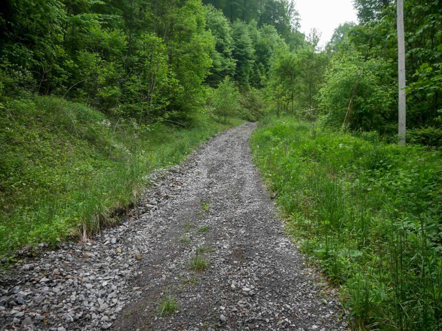
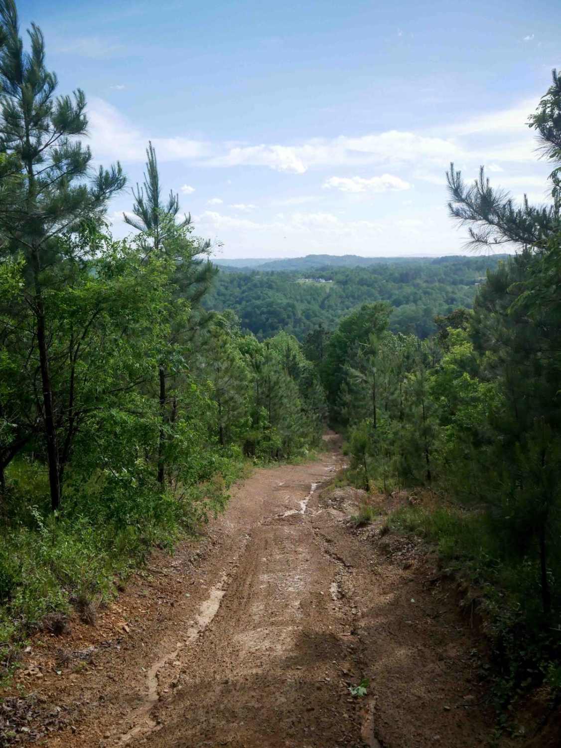
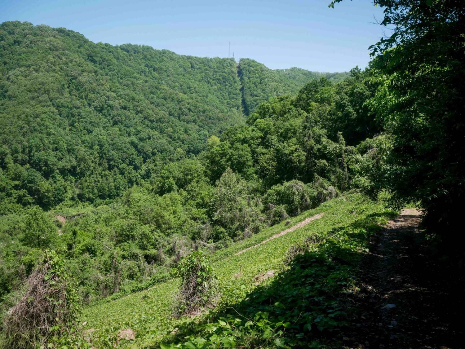
J31 is an easy access corridor within the Jawbone system, with the northern half-mile consisting of a wide, flat gravel road under powerlines and no technical challenges. The southern segment branches off onto a slightly narrower but still wide gravel path, winding through open forest with scenic rock walls and views under continued powerline coverage. The trail surface remains smooth and flat, with small loose rock and gradual, rolling terrain. It passes several oil and gas sites and offers an easy route.
Photos of J31

Difficulty
This is an easy route with no obstacles, great for all skill levels.
Status Reports
J31 can be accessed by the following ride types:
- High-Clearance 4x4
- SxS (60")
- ATV (50")
- Dirt Bike
J31 Map
Popular Trails


CC1 (Part 2)
The onX Offroad Difference
onX Offroad combines trail photos, descriptions, difficulty ratings, width restrictions, seasonality, and more in a user-friendly interface. Available on all devices, with offline access and full compatibility with CarPlay and Android Auto. Discover what you’re missing today!